Reulemill Pools

Lake, Pool, Pond, Freshwater Marsh in Staffordshire Stafford

England

Reulemill Pools

Footpath and cyclepath on the Way for the Millennium near Gnosall Great walking. Lots of nature, lots of sunshine. I feel good because I am on the final leg of my walk and I know navigational challenges are low to non-existent, fellow walkers are about, buzzards call, crows mob them and I can imagine this as a rail line. I can also look forward to a pub lunch, a half of beer and a chat maybe. But there are still interesting things to see and virgin turf to tread. All my needs seem to be met. Optimum happiness state attained.
Footpath and cyclepath on the Way for the Millennium near Gnosall Credit: Jeremy Bolwell

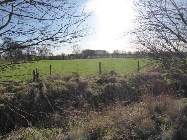
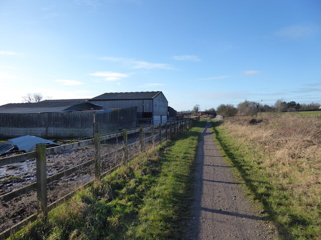
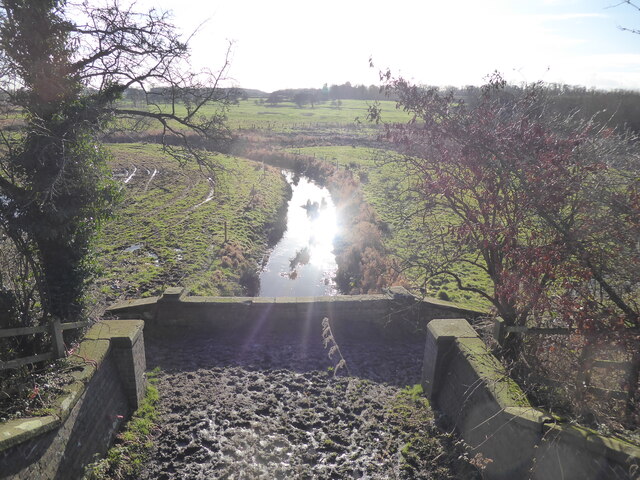
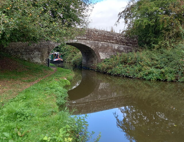
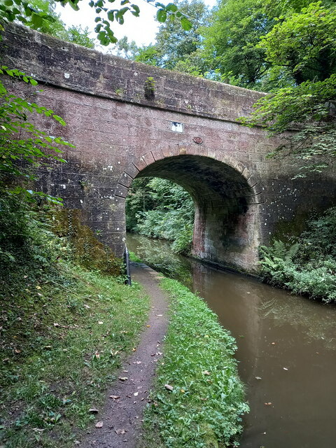
Reulemill Pools, located in Staffordshire, England, is a picturesque freshwater site consisting of a network of interconnected lakes, pools, ponds, and freshwater marshes. Spanning approximately 100 acres, this natural haven provides a diverse habitat for a wide variety of plant and animal species.

The main feature of Reulemill Pools is its three interconnected lakes, which are surrounded by lush vegetation and provide a serene and tranquil environment for visitors. These lakes are fed by several small streams and springs, ensuring a constant flow of freshwater. The crystal-clear waters of the lakes are home to numerous species of fish, including pike, tench, and roach, making it an ideal spot for fishing enthusiasts.

Adjacent to the lakes, Reulemill Pools also boasts several smaller pools and ponds. These smaller bodies of water are teeming with aquatic life, including frogs, newts, and various species of water insects. The calm and shallow waters of these pools provide an ideal breeding ground for these creatures.

Surrounding the lakes and pools, Reulemill Pools features a freshwater marsh, which is a wetland area characterized by its waterlogged soil and abundance of reeds and other water-loving plants. This marsh provides a crucial habitat for a diverse range of bird species, including reed warblers, kingfishers, and herons. The marshland also acts as a natural filter, helping to improve the water quality of the lakes and pools.

Reulemill Pools is not only a haven for wildlife but also a popular destination for nature enthusiasts. Its tranquil atmosphere, stunning vistas, and diverse flora and fauna make it a perfect spot for birdwatching, fishing, and peaceful walks in nature.

If you have any feedback on the listing, please let us know in the comments section below.

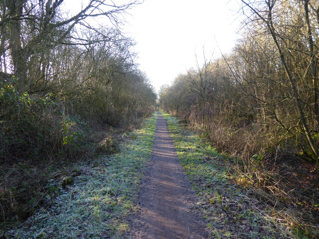
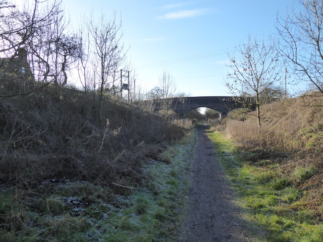
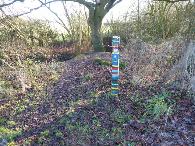
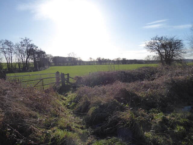
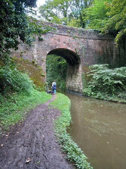
Reulemill Pools Images

Images are sourced within 2km of 52.768558/-2.2361197 or Grid Reference SJ8419. Thanks to Geograph Open Source API. All images are credited.

Footpath and cyclepath on the Way for the Millennium near Gnosall Great walking. Lots of nature, lots of sunshine. I feel good because I am on the final leg of my walk and I know navigational challenges are low to non-existent, fellow walkers are about, buzzards call, crows mob them and I can imagine this as a rail line. I can also look forward to a pub lunch, a half of beer and a chat maybe. But there are still interesting things to see and virgin turf to tread. All my needs seem to be met. Optimum happiness state attained.
Footpath and cyclepath on the Way for the Millennium near Gnosall
Great walking. Lots of nature, lots of sunshine. I feel good because I am on the final leg of my walk and I know navigational challenges are low to non-existent, fellow walkers are about, buzzards call, crows mob them and I can imagine this as a rail line. I can also look forward to a pub lunch, a half of beer and a chat maybe. But there are still interesting things to see and virgin turf to tread. All my needs seem to be met. Optimum happiness state attained.
On the Way of the Millennium near Gnosall Nice bridge.
On the Way of the Millennium near Gnosall
Nice bridge.
A thing A colourful thing, with a list of rules on it, I think. Nice.
A thing
A colourful thing, with a list of rules on it, I think. Nice.
Meadow with large flock of winter migrant birds on it The field is hopping with winter visitors. Redwing or Fieldfare I guess. Starlings possibly.
Meadow with large flock of winter migrant birds on it
The field is hopping with winter visitors. Redwing or Fieldfare I guess. Starlings possibly.
Meadow with a large flock of birds near Gnosall Redwing I think. They space out evenly and hop about, glance at me, feed, hop a bit more. Nice.
Meadow with a large flock of birds near Gnosall
Redwing I think. They space out evenly and hop about, glance at me, feed, hop a bit more. Nice.
Farm beside the Way for the Millennium near Gnosall I like this walk. I am playing some music on my phone (I cannot recall the track, but it suited the mood). My walk is very close to being completed. Always a nice feeling.
Farm beside the Way for the Millennium near Gnosall
I like this walk. I am playing some music on my phone (I cannot recall the track, but it suited the mood). My walk is very close to being completed. Always a nice feeling.
Walking the Way for the Millennium near Gnosall The Way has its own Wikipedia page, <span class="nowrap"><a title="https://en.wikipedia.org/wiki/Way_for_the_Millennium" rel="nofollow ugc noopener" href="https://en.wikipedia.org/wiki/Way_for_the_Millennium">Link</a><img style="margin-left:2px;" alt="External link" title="External link - shift click to open in new window" src="https://s1.geograph.org.uk/img/external.png" width="10" height="10"/></span> here.
Walking the Way for the Millennium near Gnosall
The Way has its own Wikipedia page, LinkExternal link here.
Road bridge over the Way for the Millennium near Gnosall Nice.
Road bridge over the Way for the Millennium near Gnosall
Nice.
Drainage ditch viewed from the Way for the Millennium near Gnosall I love a drainage ditch. Where is my bog snorkelling gear?
Drainage ditch viewed from the Way for the Millennium near Gnosall
I love a drainage ditch. Where is my bog snorkelling gear?
Church of St Edith Benchmark The OS Cut Benchmark within the tower of the Church of St Edith, Church Eaton, Staffordshire. It was last levelled by the OS in 1961. What3Words = responded.sprinkle.tidy
Church of St Edith Benchmark
The OS Cut Benchmark within the tower of the Church of St Edith, Church Eaton, Staffordshire. It was last levelled by the OS in 1961. What3Words = responded.sprinkle.tidy
Parks Bridge (no 27) on the Shropshire Union Canal A rural accommodation bridge dating from the early 1830s, which attracted a Grade II listing <span class="nowrap"><a title="https://britishlistedbuildings.co.uk/101273253-shropshire-union-canal-parks-bridge-number-27-at-sj-831-173-church-eaton#.YVMwN7hKjIU" rel="nofollow ugc noopener" href="https://britishlistedbuildings.co.uk/101273253-shropshire-union-canal-parks-bridge-number-27-at-sj-831-173-church-eaton#.YVMwN7hKjIU">Link</a><img style="margin-left:2px;" alt="External link" title="External link - shift click to open in new window" src="https://s1.geograph.org.uk/img/external.png" width="10" height="10"/></span> & <span class="nowrap"><a title="https://historicengland.org.uk/listing/the-list/list-entry/1273253" rel="nofollow ugc noopener" href="https://historicengland.org.uk/listing/the-list/list-entry/1273253">Link</a><img style="margin-left:2px;" alt="External link" title="External link - shift click to open in new window" src="https://s1.geograph.org.uk/img/external.png" width="10" height="10"/></span> in 1991. It carries no right of way, but is used by local walkers on a circuit of the woods to the south.
Parks Bridge (no 27) on the Shropshire Union Canal
A rural accommodation bridge dating from the early 1830s, which attracted a Grade II listing LinkExternal link & LinkExternal link in 1991. It carries no right of way, but is used by local walkers on a circuit of the woods to the south.
Cast iron rope fender on Parks Bridge One of the original 1830s installations, which shows significant signs of use, and forms part of the bridge's Grade II listing. The visible brickwork on the towpath beneath the bridge is original too.
Cast iron rope fender on Parks Bridge
One of the original 1830s installations, which shows significant signs of use, and forms part of the bridge's Grade II listing. The visible brickwork on the towpath beneath the bridge is original too.
Parks Barn Bridge (no 28) on the Shropshire Union Canal Parks Barn Bridge carries a track (now a footpath) called Oscote Lane over the canal. It dates from the early 1830s, and was Grade II listed <span class="nowrap"><a title="https://britishlistedbuildings.co.uk/101258848-shropshire-union-canal-parks-barn-bridge-number-28-at-sj-831-177-church-eaton#.YVMx57hKjIU" rel="nofollow ugc noopener" href="https://britishlistedbuildings.co.uk/101258848-shropshire-union-canal-parks-barn-bridge-number-28-at-sj-831-177-church-eaton#.YVMx57hKjIU">Link</a><img style="margin-left:2px;" alt="External link" title="External link - shift click to open in new window" src="https://s1.geograph.org.uk/img/external.png" width="10" height="10"/></span> & <span class="nowrap"><a title="https://historicengland.org.uk/listing/the-list/list-entry/1258848" rel="nofollow ugc noopener" href="https://historicengland.org.uk/listing/the-list/list-entry/1258848">Link</a><img style="margin-left:2px;" alt="External link" title="External link - shift click to open in new window" src="https://s1.geograph.org.uk/img/external.png" width="10" height="10"/></span> in 1991.
Parks Barn Bridge (no 28) on the Shropshire Union Canal
Parks Barn Bridge carries a track (now a footpath) called Oscote Lane over the canal. It dates from the early 1830s, and was Grade II listed LinkExternal link & LinkExternal link in 1991.
Cast iron rope fender on Parks Barn Bridge One of the original 1830s installations, which shows significant signs of use, and forms part of the bridge's Grade II listing. The towropes have also scarred the sandstone of the bridge just above the fender.
Cast iron rope fender on Parks Barn Bridge
One of the original 1830s installations, which shows significant signs of use, and forms part of the bridge's Grade II listing. The towropes have also scarred the sandstone of the bridge just above the fender.
Wood Eaton Bridge (no 29) on the Shropshire Union Canal Wood Eaton Bridge dates from the 1830s, and carries Broad Lane between Goosemoor and Wood Eaton over the cut. It was Grade II listed <span class="nowrap"><a title="https://britishlistedbuildings.co.uk/101259113-shropshire-union-canal-wood-eaton-bridge-number-29-at-sj-831-181-church-eaton#.YVM1X7hKjIU" rel="nofollow ugc noopener" href="https://britishlistedbuildings.co.uk/101259113-shropshire-union-canal-wood-eaton-bridge-number-29-at-sj-831-181-church-eaton#.YVM1X7hKjIU">Link</a><img style="margin-left:2px;" alt="External link" title="External link - shift click to open in new window" src="https://s1.geograph.org.uk/img/external.png" width="10" height="10"/></span> & <span class="nowrap"><a title="https://historicengland.org.uk/listing/the-list/list-entry/1259113" rel="nofollow ugc noopener" href="https://historicengland.org.uk/listing/the-list/list-entry/1259113">Link</a><img style="margin-left:2px;" alt="External link" title="External link - shift click to open in new window" src="https://s1.geograph.org.uk/img/external.png" width="10" height="10"/></span> in 1991.
Wood Eaton Bridge (no 29) on the Shropshire Union Canal
Wood Eaton Bridge dates from the 1830s, and carries Broad Lane between Goosemoor and Wood Eaton over the cut. It was Grade II listed LinkExternal link & LinkExternal link in 1991.
Cast iron rope fender on Wood Eaton Bridge One of two very similar, well-worn rope fenders on the bridge. They are included in the bridge's Grade II listing
Cast iron rope fender on Wood Eaton Bridge
One of two very similar, well-worn rope fenders on the bridge. They are included in the bridge's Grade II listing
Castle Cutting Bridge (no 30) on the Shropshire Union Canal An accommodation bridge, giving access to The Home Farm, which was constructed around 1830 at the same time as the canal. It attracted a Grade II listing <span class="nowrap"><a title="https://britishlistedbuildings.co.uk/101243052-shropshire-union-canal-castle-cutting-bridge-number-30-at-sj-830-185-church-eaton#.YVNJSbhKjIU" rel="nofollow ugc noopener" href="https://britishlistedbuildings.co.uk/101243052-shropshire-union-canal-castle-cutting-bridge-number-30-at-sj-830-185-church-eaton#.YVNJSbhKjIU">Link</a><img style="margin-left:2px;" alt="External link" title="External link - shift click to open in new window" src="https://s1.geograph.org.uk/img/external.png" width="10" height="10"/></span> & <span class="nowrap"><a title="https://historicengland.org.uk/listing/the-list/list-entry/1243052" rel="nofollow ugc noopener" href="https://historicengland.org.uk/listing/the-list/list-entry/1243052">Link</a><img style="margin-left:2px;" alt="External link" title="External link - shift click to open in new window" src="https://s1.geograph.org.uk/img/external.png" width="10" height="10"/></span> in October 1991.
Castle Cutting Bridge (no 30) on the Shropshire Union Canal
An accommodation bridge, giving access to The Home Farm, which was constructed around 1830 at the same time as the canal. It attracted a Grade II listing LinkExternal link & LinkExternal link in October 1991.
Cast iron rope fender on Castle Cutting Bridge One of a pair of original (1830s) rope fenders on the bridge, which form part of its Grade II listing.
Cast iron rope fender on Castle Cutting Bridge
One of a pair of original (1830s) rope fenders on the bridge, which form part of its Grade II listing.
Show me another place!

Reulemill Pools is located at Grid Ref: SJ8419 (Lat: 52.768558, Lng: -2.2361197)

Administrative County: Staffordshire

District: Stafford

Police Authority: Staffordshire

What 3 Words

///idealist.leap.rested. Near Gnosall, Staffordshire

Related Wikis

Apeton

Apeton is a hamlet in Staffordshire in the West Midlands region of England. It is located 5+1⁄2 miles (8.9 km) southwest of Stafford, in the civil parish...

Allimore Green

Allimore Green is a small hamlet in Staffordshire, England, 1 mile north-east of Church Eaton. It is the location of a Site of Special Scientific Interest...

Church Eaton

Church Eaton is a village and civil parish in Staffordshire some 6 miles (10 km) southwest of Stafford, 6 miles (10 km) northwest of Penkridge and 4 miles...

Gnosall railway station

Gnosall railway station was a station in Gnosall, Staffordshire, England. The station was opened in June 1849 and closed on 7 September 1964. == References... ==

Gnosall

Gnosall () is a village and civil parish in the Borough of Stafford, Staffordshire, England, with a population of 4,736 across 2,048 households (2011 census...

St Lawrence's Church, Gnosall

St Lawrence's Church is an Anglican church in Gnosall, Staffordshire, England. It is a Grade I listed building. The earliest parts of the church are of...

Brazenhill

Brazenhill is rural area immediately north of the village of Haughton in Staffordshire, England. It is effectively defined by Brazenhill Lane which is...

Haughton, Staffordshire

Haughton is a village in Staffordshire, England, approximately 4 miles outside and to the west of the county town of Stafford. It lies on the A518 between...

Nearby Amenities

Located within 500m of 52.768558,-2.2361197
The data included in this document is from www.openstreetmap.org. The data is made available under ODbL.

Have you been to Reulemill Pools?

Leave your review of Reulemill Pools below (or comments, questions and feedback).