Gee's Wood

Wood, Forest in Northumberland

England

Gee's Wood

Haydon Bridge Station carpark viewed through station platform fence This side for trains to Carlisle.
Haydon Bridge Station carpark viewed through station platform fence Credit: Luke Shaw

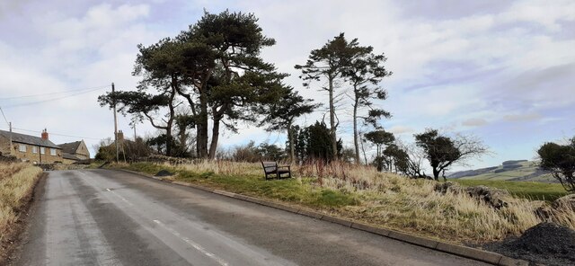
Gee's Wood is a beautiful woodland located in Northumberland, England. Covering an area of approximately 100 acres, it is a popular destination for nature lovers, hikers, and birdwatchers alike. The wood is known for its diverse flora and fauna, offering a serene and peaceful escape from the bustling city life.

The woodland is predominantly made up of native tree species, including oak, ash, beech, and birch. These trees provide a dense and lush canopy that creates a shaded and cool environment, even during the hot summer months. The forest floor is covered with a variety of wildflowers, ferns, and mosses, adding to the woodland's enchanting charm.

Gee's Wood is home to a wide range of wildlife, making it a haven for nature enthusiasts. Visitors can spot numerous bird species, such as woodpeckers, owls, and songbirds. Squirrels, rabbits, and deer are also frequently seen roaming the forest, adding to the wood's enchanting atmosphere.

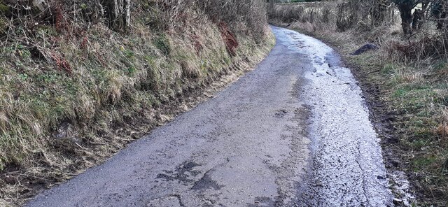
There are several well-maintained walking trails that wind their way through the wood, allowing visitors to explore its beauty at their own pace. These trails offer stunning views of the surrounding countryside and provide opportunities for visitors to observe the wood's diverse wildlife.

Gee's Wood is a true gem in the heart of Northumberland, offering a peaceful and enchanting experience for those seeking solace in nature. Whether it's a leisurely stroll, a birdwatching adventure, or simply a moment of tranquility, this woodland has something to offer for everyone.

If you have any feedback on the listing, please let us know in the comments section below.
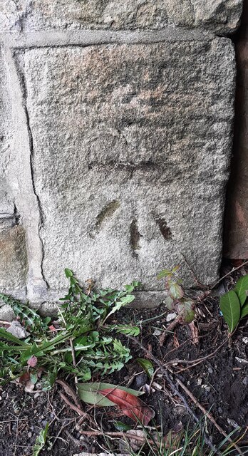
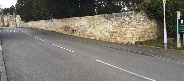
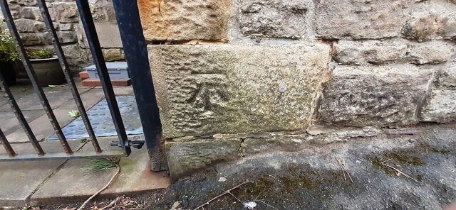
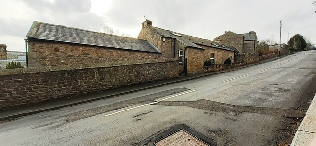
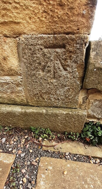
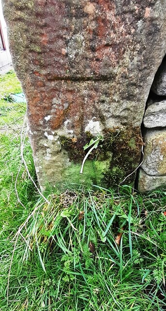
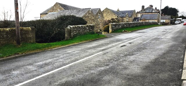
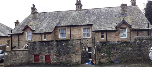
Gee's Wood Images

Images are sourced within 2km of 54.971184/-2.2388934 or Grid Reference NY8464. Thanks to Geograph Open Source API. All images are credited.

Haydon Bridge Station carpark viewed through station platform fence This side for trains to Carlisle.
Haydon Bridge Station carpark viewed through station platform fence
This side for trains to Carlisle.
Benchmark on stone wall on NE side of North Bank Ordnance Survey cut mark benchmark levelled at 70.455m above Newlyn Datum verified 1954
Benchmark on stone wall on NE side of North Bank
Ordnance Survey cut mark benchmark levelled at 70.455m above Newlyn Datum verified 1954
Looking NW along North Bank as it passes Haydon Lodge There is an Ordnance Survey benchmark <a href="https://www.geograph.org.uk/photo/7106376">NY8464 : Benchmark on stone wall on NE side of North Bank</a> on the stone wall about 2m right of its corner near the right hand edge of the image
Looking NW along North Bank as it passes Haydon Lodge
There is an Ordnance Survey benchmark NY8464 : Benchmark on stone wall on NE side of North Bank on the stone wall about 2m right of its corner near the right hand edge of the image
Benchmark on roadside jut of Haydon Park House on south side of North Bank Ordnance Survey cut mark benchmark levelled at 96.168m above Newlyn Datum in 1954
Benchmark on roadside jut of Haydon Park House on south side of North Bank
Ordnance Survey cut mark benchmark levelled at 96.168m above Newlyn Datum in 1954
Haydon Park House, south side North Bank There is an Ordnance Survey benchmark <a href="https://www.geograph.org.uk/photo/7106391">NY8364 : Benchmark on roadside jut of Haydon Park House on south side of North Bank</a> on the house jut at the right hand side of the metal entrance gate
Haydon Park House, south side North Bank
There is an Ordnance Survey benchmark NY8364 : Benchmark on roadside jut of Haydon Park House on south side of North Bank on the house jut at the right hand side of the metal entrance gate
Village road towards The Tofts passing viewpoint
Benchmark on stone on west side of rural road south of East Haydon Farm Ordnance Survey cut mark benchmark levelled at 164.738m above Newlyn Datum verified 1954
Benchmark on stone on west side of rural road south of East Haydon Farm
Ordnance Survey cut mark benchmark levelled at 164.738m above Newlyn Datum verified 1954
Rural road heading south at East Haydon Farm There is an Ordnance Survey benchmark <a href="https://www.geograph.org.uk/photo/7106474">NY8465 : Benchmark on stone on west side of rural road south of East Haydon Farm</a> on a stone at the left hand side of the road in the left foreground
Rural road heading south at East Haydon Farm
There is an Ordnance Survey benchmark NY8465 : Benchmark on stone on west side of rural road south of East Haydon Farm on a stone at the left hand side of the road in the left foreground
Benchmark on St Cuthbert's Church Ordnance Survey 1GL bolt benchmark levelled at 64.535m above Newlyn Datum verified 1954. The mark was previously levelled at 211.499 feet above Liverpool Datum during the 1GL Carlisle to North Shields survey of 1844-1845. The surveyor's description was 'No. 106. Bolt in South-west corner of tower of Haydonbridge Parish Church ; 2.12 ft. above surface'
Benchmark on St Cuthbert's Church
Ordnance Survey 1GL bolt benchmark levelled at 64.535m above Newlyn Datum verified 1954. The mark was previously levelled at 211.499 feet above Liverpool Datum during the 1GL Carlisle to North Shields survey of 1844-1845. The surveyor's description was 'No. 106. Bolt in South-west corner of tower of Haydonbridge Parish Church ; 2.12 ft. above surface'
St Cuthbert's Church on east side of Church Street There is an Ordnance Survey benchmark <a href="https://www.geograph.org.uk/photo/7115512">NY8464 : Benchmark on St Cuthbert's Church</a> on the near corner, left hand face, of the church tower
St Cuthbert's Church on east side of Church Street
There is an Ordnance Survey benchmark NY8464 : Benchmark on St Cuthbert's Church on the near corner, left hand face, of the church tower
Benchmark on St John of Beverley Church Ordnance Survey cut mark benchmark levelled at 75.993m above Newlyn Datum verified 1954
Benchmark on St John of Beverley Church
Ordnance Survey cut mark benchmark levelled at 75.993m above Newlyn Datum verified 1954
St John of Beverley Church There is an Ordnance Survey benchmark <a href="https://www.geograph.org.uk/photo/7115529">NY8464 : Benchmark on St John of Beverley Church</a> on the near corner, left hand face, of the church
St John of Beverley Church
There is an Ordnance Survey benchmark NY8464 : Benchmark on St John of Beverley Church on the near corner, left hand face, of the church
Benchmark on the west side of 3 South View, North Bank Ordnance Survey cut mark benchmark levelled at 82.598m above Newlyn Datum verified 1954
Benchmark on the west side of 3 South View, North Bank
Ordnance Survey cut mark benchmark levelled at 82.598m above Newlyn Datum verified 1954
Houses of South View on north side of North Bank There is an Ordnance Survey benchmark <a href="https://www.geograph.org.uk/photo/7115544">NY8464 : Benchmark on the west side of 3 South View, North Bank</a> on the front corner, left hand face, of the nearest house
Houses of South View on north side of North Bank
There is an Ordnance Survey benchmark NY8464 : Benchmark on the west side of 3 South View, North Bank on the front corner, left hand face, of the nearest house
Benchmark on gatepost in wall on south side of North Bank opposite Bank House Ordnance Survey cut mark benchmark levelled in 1954 at 111.462m above Newlyn Datum
Benchmark on gatepost in wall on south side of North Bank opposite Bank House
Ordnance Survey cut mark benchmark levelled in 1954 at 111.462m above Newlyn Datum
North Bank at entrances to Rowan Rigg and Maresfield There is an Ordnance Survey benchmark <a href="https://www.geograph.org.uk/photo/115569">ST3738 : Chilton Priory</a> on the road face of the gatepost at the right hand side of the near entrance
North Bank at entrances to Rowan Rigg and Maresfield
There is an Ordnance Survey benchmark ST3738 : Chilton Priory on the road face of the gatepost at the right hand side of the near entrance
Benchmark on east face of Highfield Ordnance Survey cut mark benchmark levelled at 118.025m above Newlyn Datum verified 1954
Benchmark on east face of Highfield
Ordnance Survey cut mark benchmark levelled at 118.025m above Newlyn Datum verified 1954
Highfield and Burnbrae on south side of North Bank There is an Ordnance Survey benchmark <a href="https://www.geograph.org.uk/photo/7115750">NY8364 : Benchmark on east face of Highfield</a> on the left hand side of the left hand house at its front corner
Highfield and Burnbrae on south side of North Bank
There is an Ordnance Survey benchmark NY8364 : Benchmark on east face of Highfield on the left hand side of the left hand house at its front corner
Show me another place!

Gee's Wood is located at Grid Ref: NY8464 (Lat: 54.971184, Lng: -2.2388934)

Unitary Authority: Northumberland

Police Authority: Northumbria

What 3 Words

///sprayed.stems.glades. Near Haydon Bridge, Northumberland

Nearby Locations

Gee's Wood Kidd's Hole

Related Wikis

Haydon Bridge

Haydon Bridge is a village in Northumberland, England, which had a population of 2,184 in the 2011 census. Its most distinctive features are the two bridges...

Haydon Bridge railway station

Haydon Bridge is a railway station on the Tyne Valley Line, which runs between Newcastle and Carlisle via Hexham. The station, situated 29 miles 68 chains...

Haydon Bridge High School

Haydon Bridge High School is a mixed secondary day school located in Haydon Bridge in the English county of Northumberland. The current headteacher is...

Elrington Halt railway station

Elrington Halt station is a closed stone built railway station situated on a single track branch railway line in Northumberland, England, that ran from...

Chesterwood

Chesterwood is a hamlet in Northumberland, in England. It is situated a short distance to the north-west of Haydon Bridge on the South Tyne, west of Hexham...
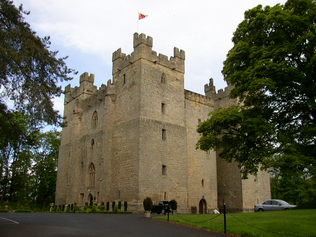
Langley Castle

Langley Castle is a restored medieval tower house, now operated as a hotel, situated in the village of Langley in the valley of the River South Tyne some...

Allerwash railway station

Allerwash railway station served the hamlet of Allerwash, Northumberland, England from 1836 to 1837 on the Newcastle and Carlisle Railway. == History... ==

Langley-on-Tyne railway station

Langley-on-Tyne is a closed stone built railway station situated on a single track branch railway line in Northumberland, England, that ran from Allendale...

Nearby Amenities

Located within 500m of 54.971184,-2.2388934
Haydon Bridge
Created By: Potlatch 0.10f
Place: village
Source: NPE
Wikidata: Q3783796
Lat/Long: 54.9728368/-2.2449558
Parking
Fee: no
Note: Layby
Parking: surface
Source: survey
Lat/Long: 54.9733793/-2.2389238
Note: 30 mph speed limit sign westbound
Lat/Long: 54.9734857/-2.241656
Post Box
Brand: Royal Mail
Brand Wikidata: Q638098
Operator: Royal Mail
Operator Wikidata: Q638098
Post Box Mounting: stone_wall
Post Box Type: wall
Ref: NE47 46
Survey Date: 2022-03-01
Wikimedia Commons: File:John Martin Street, Haydon Bridge - geograph.org.uk - 3243577.jpg
Lat/Long: 54.9730401/-2.244122
Parking
Fee: no
Park Ride: no
Parking: lane
Supervised: no
Lat/Long: 54.970745/-2.2380654
Generator Method: photovoltaic
Generator Output Electricity: yes
Generator Source: solar
Generator Type: solar_photovoltaic_panel
Location: roof
Power: generator
Lat/Long: 54.971308/-2.2461848
Direction: SSE
Generator Method: photovoltaic
Generator Output Electricity: yes
Generator Source: solar
Generator Type: solar_photovoltaic_panel
Power: generator
Source: survey
Lat/Long: 54.9742123/-2.2430056
Bus Stop
Bus: yes
Naptan AtcoCode: 3100Y844643
Naptan NaptanCode: nldgjadg
Public Transport: platform
Lat/Long: 54.9734587/-2.2440984
Give Way
Lat/Long: 54.9729546/-2.2362622
Cafe
Oddfellows Coffee
Addr City: Haydon Bridge
Addr Housename: Oddfellows Hall
Addr Postcode: NE47 6BQ
Addr Street: Shaftoe Street
Cuisine: coffee_shop
Internet Access: wlan
Lat/Long: 54.9723138/-2.2453209
The data included in this document is from www.openstreetmap.org. The data is made available under ODbL.

Have you been to Gee's Wood?

Leave your review of Gee's Wood below (or comments, questions and feedback).