Allen's Copse
Wood, Forest in Somerset Mendip
England
Allen's Copse
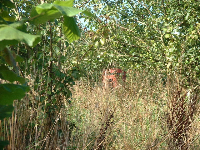
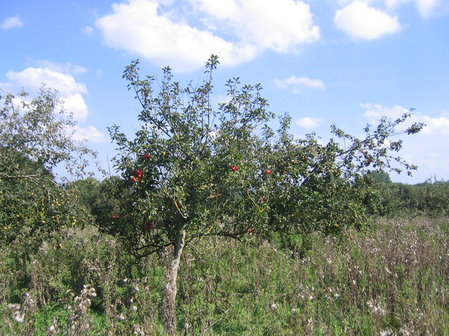
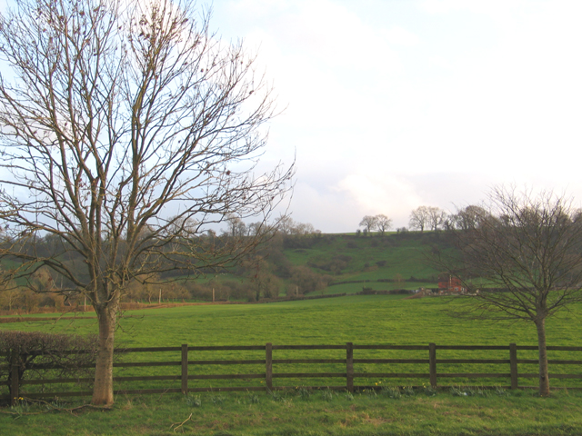
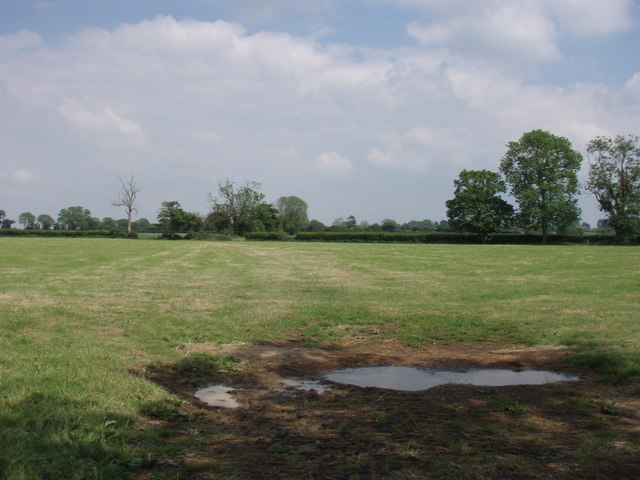
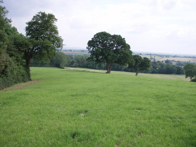
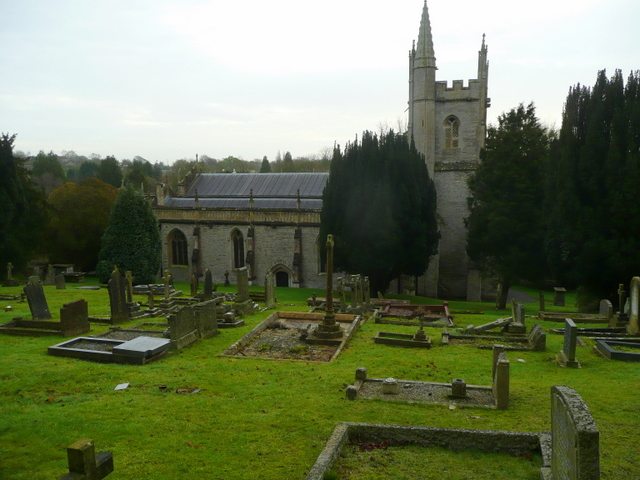
Allen's Copse is a picturesque woodland located in Somerset, England. Situated in the heart of the county, the copse covers an area of approximately 50 acres and is known for its natural beauty and diverse wildlife.
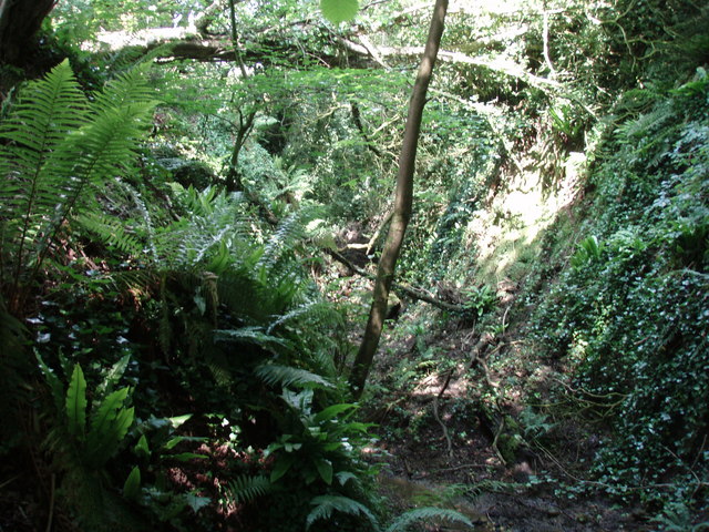
The copse is characterized by a mix of deciduous and coniferous trees, including oak, beech, and pine. The dense canopy provides a sheltered habitat for a wide range of bird species, including woodpeckers, jays, and owls. The forest floor is adorned with a variety of wildflowers and ferns, creating a vibrant and colorful landscape throughout the year.
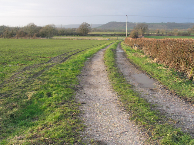
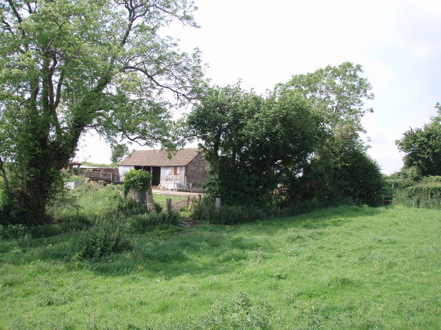
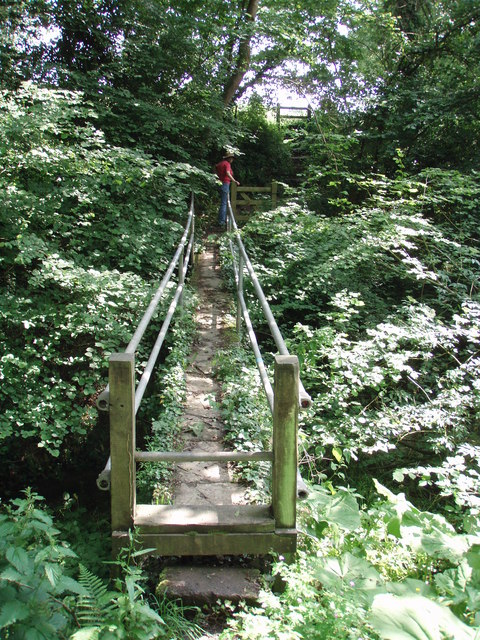
The copse is intersected by several well-maintained walking trails, allowing visitors to explore its natural wonders. These trails meander through the enchanting woodland, offering breathtaking views of the surrounding countryside. Along the way, visitors may encounter quaint wooden benches and picnic spots, providing opportunities to rest and soak in the peaceful atmosphere.
Allen's Copse is a popular destination for nature enthusiasts, hikers, and photographers. Its tranquil setting provides a perfect escape from the hustle and bustle of everyday life. The copse is also an important site for conservation, with efforts in place to protect and sustain its unique ecosystem.
Overall, Allen's Copse stands as a testament to the beauty and diversity of Somerset's natural landscape. Its ancient trees, abundant wildlife, and serene atmosphere make it a must-visit destination for those seeking a connection with nature.
If you have any feedback on the listing, please let us know in the comments section below.
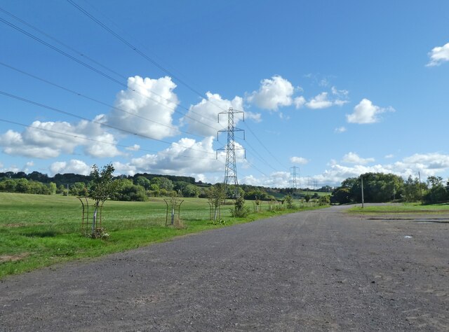
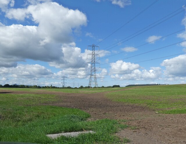
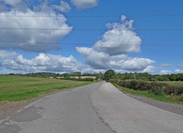
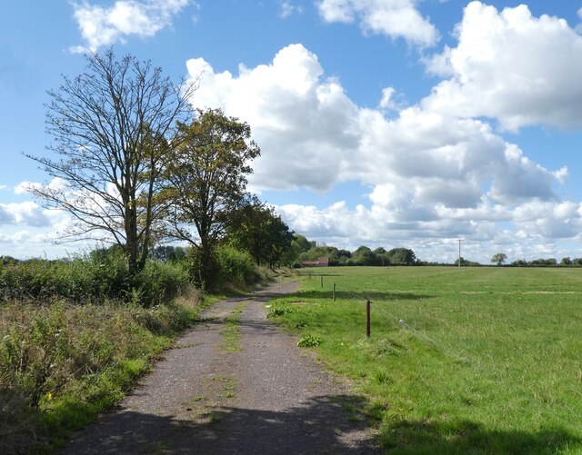
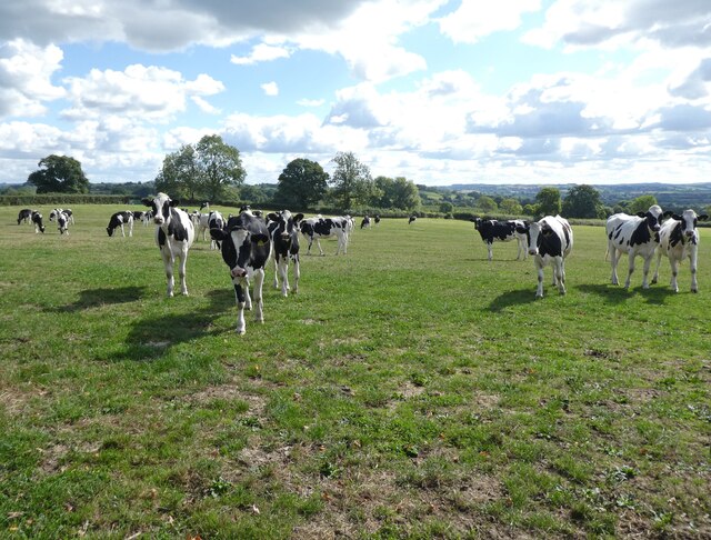
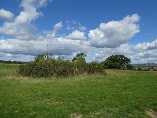
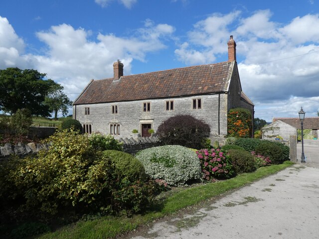
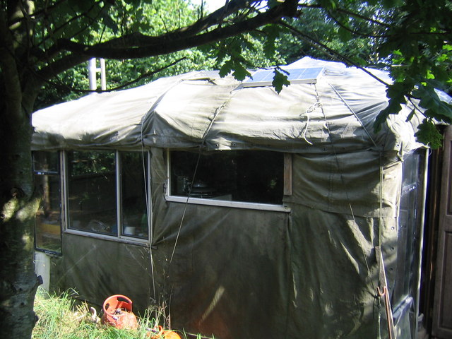
Allen's Copse Images
Images are sourced within 2km of 51.144189/-2.6065228 or Grid Reference ST5738. Thanks to Geograph Open Source API. All images are credited.
Allen's Copse is located at Grid Ref: ST5738 (Lat: 51.144189, Lng: -2.6065228)
Administrative County: Somerset
District: Mendip
Police Authority: Avon and Somerset
What 3 Words
///pointed.arise.bedrooms. Near Shepton Mallet, Somerset
Nearby Locations
Related Wikis

West Pennard railway station
West Pennard railway station was a station on the Highbridge branch of the Somerset and Dorset Joint Railway. Opened on 3 February 1862, it was reduced...

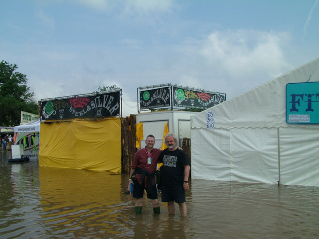
Glastonbury Festival
Glastonbury Festival (formally Glastonbury Festival of Contemporary Performing Arts and known colloquially as Glasto) is a five-day festival of contemporary...

East Pennard
East Pennard is a village and civil parish 4 miles (6.4 km) north west of Castle Cary, and 5 miles (8.0 km) south of Shepton Mallet, in the Mendip district...
Worthy FM
Worthy FM is the onsite radio station of The Glastonbury Festival. It broadcasts on 87.7 MHz FM and online for one week only during the Festival, operating...
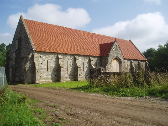
Tithe Barn, Pilton
The Tithe Barn at Cumhill Farm in Pilton, Somerset, England, was built in the 14th century as a tithe barn to hold produce for Glastonbury Abbey. It is...
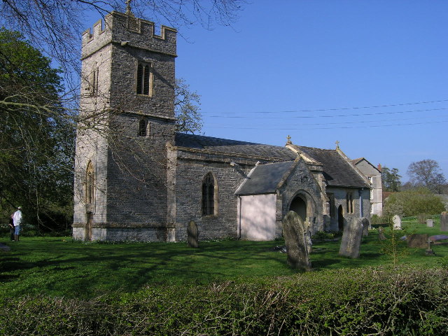
Church of St Andrew, West Bradley
The Anglican Church of St Andrew in West Bradley, within the English county of Somerset, dates from the 14th century. It is a Grade II* listed building...
Pilton, Somerset
Pilton is a village and civil parish in Somerset, England, situated on the A361 road in the Mendip district, 3 miles (5 km) south-west of Shepton Mallet...

West Bradley
West Bradley is a village and civil parish 4 miles south-east of Glastonbury in Somerset, England. The parish includes the hamlets of Hornblotton and Lottisham...
Nearby Amenities
Located within 500m of 51.144189,-2.6065228Have you been to Allen's Copse?
Leave your review of Allen's Copse below (or comments, questions and feedback).