Winthills Wood

Wood, Forest in Shropshire

England

Winthills Wood

View from the Clee Hill viewpoint The viewpoint is about 381 metres (1250 feet) above sea level.
View from the Clee Hill viewpoint Credit: Mat Fascione

Winthills Wood is a picturesque forest located in the county of Shropshire, England. Covering an area of approximately 100 acres, it is known for its natural beauty and diverse ecosystem. The wood is situated within close proximity to the village of Winthills, which gives it its name.

The wood is predominantly made up of deciduous trees, such as oak, beech, and ash, which provide a lush canopy during the summer months. These trees offer a habitat for a variety of wildlife, including birds, squirrels, and deer, making it a popular spot for nature enthusiasts and birdwatchers.

Within the wood, there are several well-marked walking trails that allow visitors to explore the area at their leisure. The trails wind through the dense woodland, offering breathtaking views of the surrounding countryside. Along the way, there are designated picnic areas and benches where visitors can relax and enjoy the tranquil atmosphere.

Winthills Wood is also home to a diverse range of plant species, including bluebells, wild garlic, and primroses, which create a vibrant carpet of colors in the springtime. This makes it a favored destination for photographers and nature lovers seeking to capture the beauty of the wood in their lenses.

Overall, Winthills Wood is a haven of natural beauty, offering visitors a chance to escape the hustle and bustle of everyday life and immerse themselves in the peacefulness of nature. Whether it is a leisurely stroll, a picnic, or wildlife spotting, this wood provides an enchanting experience for all who visit.

If you have any feedback on the listing, please let us know in the comments section below.

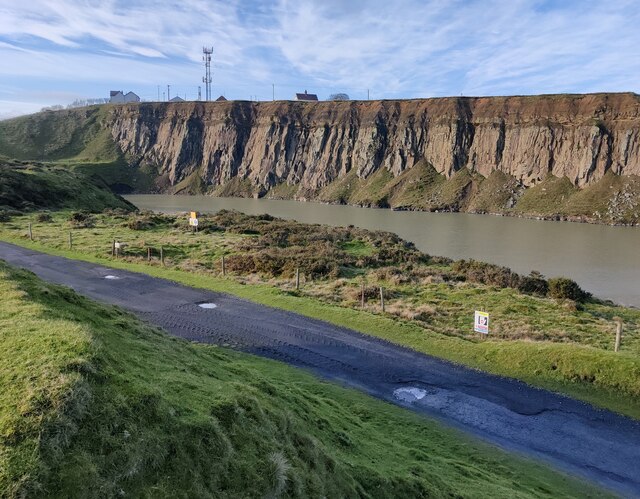
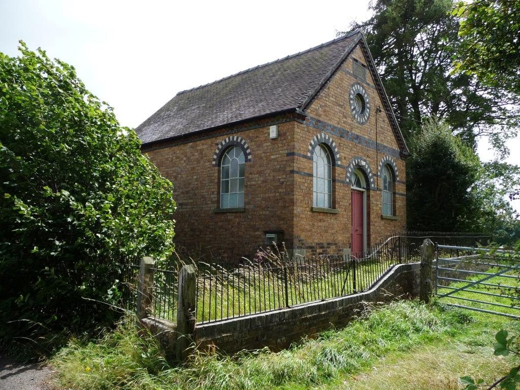
Winthills Wood Images

Images are sourced within 2km of 52.374716/-2.6233332 or Grid Reference SO5775. Thanks to Geograph Open Source API. All images are credited.

View from the Clee Hill viewpoint The viewpoint is about 381 metres (1250 feet) above sea level.
View from the Clee Hill viewpoint
The viewpoint is about 381 metres (1250 feet) above sea level.
View east from Cleehill
Seats at the Clee Hill viewpoint The viewpoint is about 381 metres (1250 feet) above sea level.
Seats at the Clee Hill viewpoint
The viewpoint is about 381 metres (1250 feet) above sea level.
Sheep at Cleehill
Sheep at Cleehill
Gorse bushes on Clee Hill
Seat at the Clee Hill viewpoint The viewpoint is about 381 metres (1250 feet) above sea level.
<a href="https://www.geograph.org.uk/photo/7386944">SO5975 : Seat at the Clee Hill viewpoint</a>
Seat at the Clee Hill viewpoint
The viewpoint is about 381 metres (1250 feet) above sea level. SO5975 : Seat at the Clee Hill viewpoint
Seats at the Clee Hill viewpoint The viewpoint is about 381 metres (1250 feet) above sea level.
Seats at the Clee Hill viewpoint
The viewpoint is about 381 metres (1250 feet) above sea level.
View southwest across the Teme valley Viewed from the Clee Hill viewpoint, about 381 metres (1250 feet) above sea level.
View southwest across the Teme valley
Viewed from the Clee Hill viewpoint, about 381 metres (1250 feet) above sea level.
Flooded quarry at Clee Hill
Angel Bank Named after a now lost pub, Angel Bank has a certain notoriety for steepness and is a rite of passage for local cyclists as well as the source of various playground stories of high speed cycling. It was also the site of motorsport hill climbs.
At this time the road was descending into a thin layer of cloud. The skies were clear again at Ludlow.
Angel Bank
Named after a now lost pub, Angel Bank has a certain notoriety for steepness and is a rite of passage for local cyclists as well as the source of various playground stories of high speed cycling. It was also the site of motorsport hill climbs. At this time the road was descending into a thin layer of cloud. The skies were clear again at Ludlow.
Seats at the Clee Hill viewpoint The viewpoint is about 381 metres (1250 feet) above sea level.
Seats at the Clee Hill viewpoint
The viewpoint is about 381 metres (1250 feet) above sea level.
Rouse-Boughton Terrace at Dhustone These terraced houses were built in the Late 19th Century for quarry workers. The Rouse-Boughtons were local land owners.
Rouse-Boughton Terrace at Dhustone
These terraced houses were built in the Late 19th Century for quarry workers. The Rouse-Boughtons were local land owners.
Foxgloves at Cleehill
Clee Hill panorama An early morning view down into the Teme valley, with the Abberley Hills on the horizon to the left and, further away to the right, the Malverns.
Clee Hill panorama
An early morning view down into the Teme valley, with the Abberley Hills on the horizon to the left and, further away to the right, the Malverns.
Craven Place at Clee Hill The house is called Craven Place and dates from 1862, at 381 metres (1250 feet) above sea level.
Craven Place at Clee Hill
The house is called Craven Place and dates from 1862, at 381 metres (1250 feet) above sea level.
Information board at the viewing area Overlooking the Clee Hill Quarry and Asphalt Plant
Titterstone Clee Hill is the third-highest hill in Shropshire at 533m (1,749 ft). Many derelict quarry buildings are scattered over the slopes of the hill, they were used for the mining of coal, and the quarrying of dhustone (dolerite), used in road-building.
Information board at the viewing area
Overlooking the Clee Hill Quarry and Asphalt Plant Titterstone Clee Hill is the third-highest hill in Shropshire at 533m (1,749 ft). Many derelict quarry buildings are scattered over the slopes of the hill, they were used for the mining of coal, and the quarrying of dhustone (dolerite), used in road-building.
Viewing area at the Clee Hill Quarry and Asphalt Plant Titterstone Clee Hill is the third-highest hill in Shropshire at 533m (1,749 ft). Many derelict quarry buildings are scattered over the slopes of the hill, they were used for the mining of coal, and the quarrying of dhustone (dolerite), used in road-building.
Viewing area at the Clee Hill Quarry and Asphalt Plant
Titterstone Clee Hill is the third-highest hill in Shropshire at 533m (1,749 ft). Many derelict quarry buildings are scattered over the slopes of the hill, they were used for the mining of coal, and the quarrying of dhustone (dolerite), used in road-building.
The Clee Hill Quarry and Asphalt Plant Titterstone Clee Hill is the third-highest hill in Shropshire at 533m (1,749 ft). Many derelict quarry buildings are scattered over the slopes of the hill, they were used for the mining of coal, and the quarrying of dhustone (dolerite), used in road-building.
The Clee Hill Quarry and Asphalt Plant
Titterstone Clee Hill is the third-highest hill in Shropshire at 533m (1,749 ft). Many derelict quarry buildings are scattered over the slopes of the hill, they were used for the mining of coal, and the quarrying of dhustone (dolerite), used in road-building.
Show me another place!

Winthills Wood is located at Grid Ref: SO5775 (Lat: 52.374716, Lng: -2.6233332)

Unitary Authority: Shropshire

Police Authority: West Mercia

What 3 Words

///jazzy.insect.beep. Near Ludlow, Shropshire

Nearby Locations

Winthills Wood Farden

Related Wikis

Angelbank

Angelbank (or Angel Bank) is a small settlement in south Shropshire, England. It is located on the A4117 road, between Ludlow and Cleehill; the road goes...

Knowbury

Knowbury is a small village near Ludlow in Shropshire, England. It is located in the civil parish of Caynham. It is near to Clee Hill Village and had a...
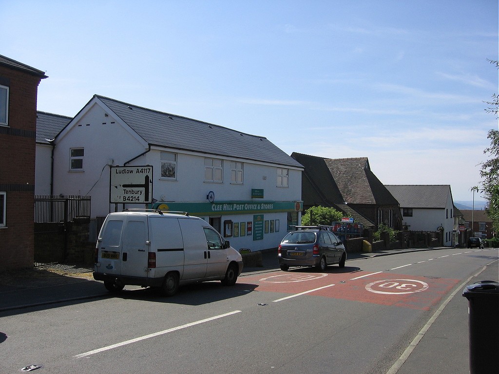
Cleehill

Cleehill is a village in south Shropshire, England. It is sometimes written as Clee Hill Village (including the road sign entering the village) to avoid...

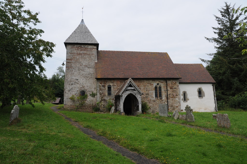
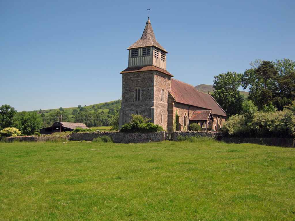
St John the Baptist's Church, Hope Bagot

St John the Baptist's Church is in the village of Hope Bagot, Shropshire, England. It is an active Anglican parish church in the deanery of Ludlow, the...

Hope Bagot

Hope Bagot is a hamlet and civil parish in Shropshire, England. It is situated south of Cleehill and the parish is hilly in nature. The market town of...

Church of St Mary, Bitterley

The Church of St Mary is located in Bitterley, Shropshire, England. Built in the 12th century and later, it is a Grade II* listed building. == History... ==

Bedlam, Shropshire

Bedlam (also known as Titterstone Village) is a small hamlet in south Shropshire, England.It is located east of Bitterley and north of Cleehill, situated...

Knowle, Shropshire

Knowle is a small village in Shropshire, England. It lies largely in the civil parish of Nash. It is 0.7 miles (1.1 km) south of the larger village of...

Nearby Amenities

Located within 500m of 52.374716,-2.6233332
Farden
Place: hamlet
Lat/Long: 52.3785384/-2.6258128
The Potteries Farm
Landuse: farm
Note Retag: CS #48756035
Source: OS_OpenData_StreetView
Lat/Long: 52.3778006/-2.6201109
Generator Method: photovoltaic
Generator Output Electricity: yes
Generator Source: solar
Generator Type: solar_photovoltaic_panel
Location: roof
Power: generator
Lat/Long: 52.3732035/-2.6291791
Generator Method: photovoltaic
Generator Output Electricity: yes
Generator Source: solar
Generator Type: solar_photovoltaic_panel
Location: roof
Power: generator
Lat/Long: 52.3732232/-2.6290503
Power: pole
Source: bing
Lat/Long: 52.3716004/-2.6274088
Power: pole
Source: bing
Lat/Long: 52.3719934/-2.6282376
Power: pole
Source: bing
Lat/Long: 52.3721637/-2.6286078
Power: pole
Source: bing
Lat/Long: 52.3724535/-2.6292112
Power: pole
Source: bing
Lat/Long: 52.3727581/-2.629855
Generator Method: photovoltaic
Generator Output Electricity: yes
Generator Source: solar
Generator Type: solar_photovoltaic_panel
Location: roof
Power: generator
Lat/Long: 52.370757/-2.6239219
Generator Method: photovoltaic
Generator Output Electricity: yes
Generator Source: solar
Generator Type: solar_photovoltaic_panel
Location: roof
Power: generator
Lat/Long: 52.3720507/-2.6216903
The data included in this document is from www.openstreetmap.org. The data is made available under ODbL.

Have you been to Winthills Wood?

Leave your review of Winthills Wood below (or comments, questions and feedback).