Castle Wood

Wood, Forest in Somerset Mendip

England

Castle Wood

Power lines crossing Worthy Farm
Power lines crossing Worthy Farm Credit: Roger Cornfoot

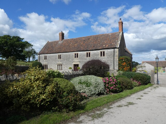
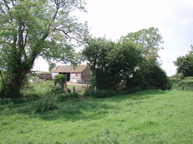
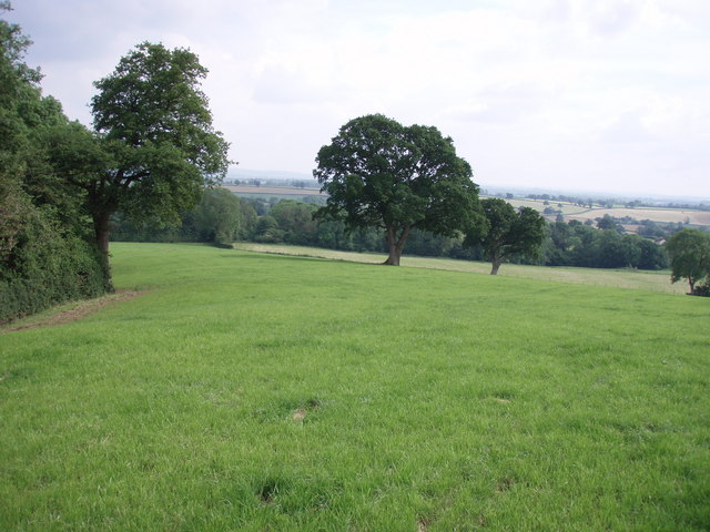
Castle Wood is a picturesque woodland located in Somerset, England. Nestled within the rolling hills of the countryside, Castle Wood offers visitors a tranquil escape from the hustle and bustle of city life. With its lush greenery and serene atmosphere, it is a popular destination for nature enthusiasts and outdoor adventurers.

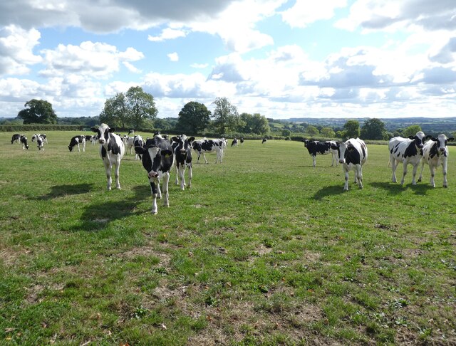
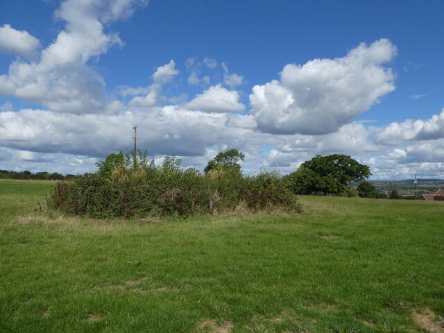
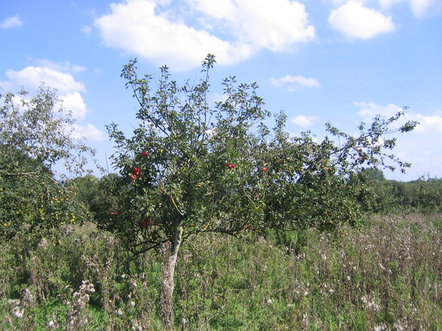
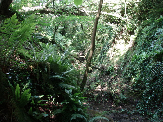
The wood is spread across an expansive area, covering approximately 100 acres. It is home to a diverse range of flora and fauna, including ancient oak trees, vibrant wildflowers, and various species of birds and small mammals. The wood is managed by a dedicated team of conservationists who work tirelessly to preserve its natural beauty and protect the wildlife that calls it home.

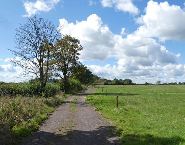
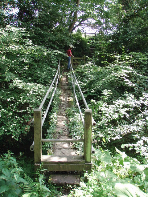
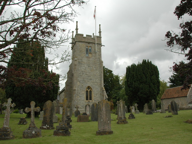
Visitors to Castle Wood can explore the numerous walking trails that wind their way through the forest. These trails cater to all levels of fitness, from gentle strolls to more challenging hikes. Along the paths, visitors can discover hidden gems such as a babbling brook, a small pond, and even the ruins of an old castle, which adds a touch of historical charm to the wood.

For those who wish to immerse themselves in the wood's tranquility, there are designated picnic areas where visitors can enjoy a leisurely lunch amidst the peaceful surroundings. Additionally, photography enthusiasts will find ample opportunities to capture stunning shots of the wood's natural beauty.

Castle Wood truly offers a rejuvenating experience for anyone seeking solace in nature. Its idyllic setting, diverse wildlife, and well-maintained trails make it a must-visit destination for nature lovers and those looking to escape the stresses of everyday life.

If you have any feedback on the listing, please let us know in the comments section below.
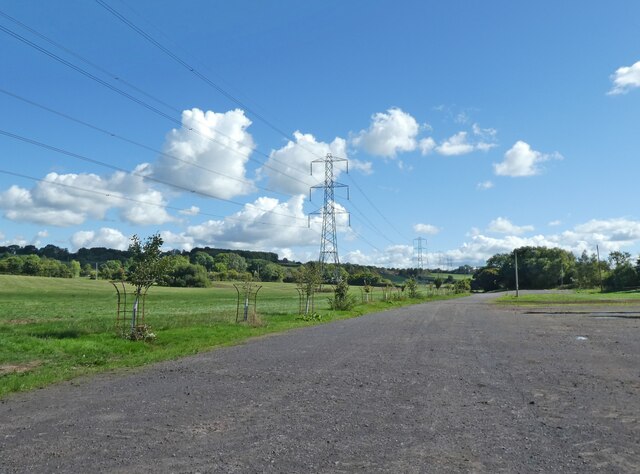
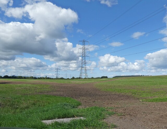
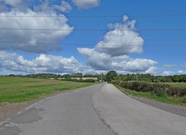
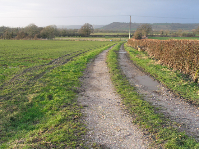
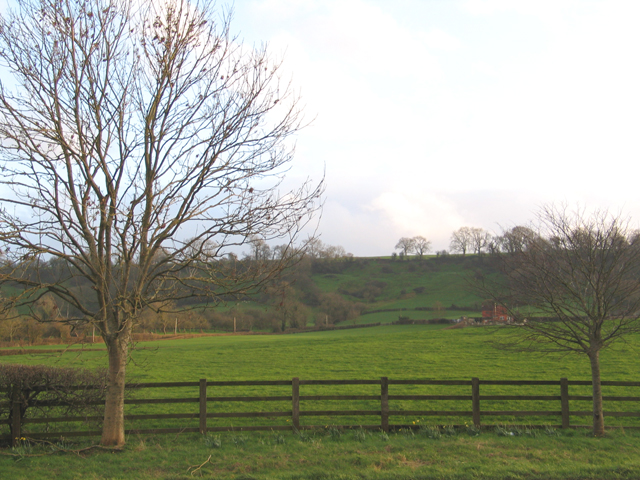
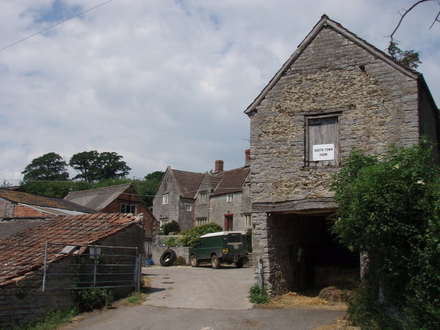
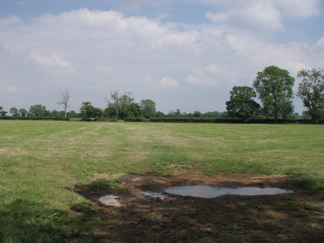
Castle Wood Images

Images are sourced within 2km of 51.145898/-2.6116917 or Grid Reference ST5738. Thanks to Geograph Open Source API. All images are credited.

Power lines crossing Worthy Farm
Power lines crossing Pilton Park
Access road, Steanbow Park
Track, on Pennard Hill
Cattle at Pennard Hill Farm
Covered reservoir at Pennard Hill Farm Beneath the shrubbery!
Covered reservoir at Pennard Hill Farm
Beneath the shrubbery!
Pennard Hill Farm
Pennard Hill Farm
Apple tree at Kings Hill
View towards Worminster and Mendip Hills
View towards Laverley
Higher South Town Farm
Pennard Hill The footpath sticks to the ridge across Pennard Hill.
Pennard Hill
The footpath sticks to the ridge across Pennard Hill.
farm building seen from the footpath
Bradley Brook waterfall It appears that the brook recently heavily flooded bringing down trees and lots of derbis.
Bradley Brook waterfall
It appears that the brook recently heavily flooded bringing down trees and lots of derbis.
footbridge over Bradley Brook
fields by Washingstones Gully Taken from the footpath - sadly we could not get into the overgrown Washingstones Gully to see if there were any.
fields by Washingstones Gully
Taken from the footpath - sadly we could not get into the overgrown Washingstones Gully to see if there were any.
Old Men in water at Glastonbury Festival 2005 The Festival happens but once a year down on the farm at Pilton thanks to Michael Eavis. The site is prone to flooding due to its natural bowl shape and poor drainage. Torrential, biblical rain of 12 hours duration produced this boating lake. Fortunately, the rain stopped at 12 noon on the first day of the Festival. The Pyramid Stage is used as a cow shed for rest of the year.
Old Men in water at Glastonbury Festival 2005
The Festival happens but once a year down on the farm at Pilton thanks to Michael Eavis. The site is prone to flooding due to its natural bowl shape and poor drainage. Torrential, biblical rain of 12 hours duration produced this boating lake. Fortunately, the rain stopped at 12 noon on the first day of the Festival. The Pyramid Stage is used as a cow shed for rest of the year.
The Apple Tree and the A361 From the Apple Tree's website <span class="nowrap"><a title="https://www.theappletreeinn.co.uk/" rel="nofollow ugc noopener" href="https://www.theappletreeinn.co.uk/">Link</a><img style="margin-left:2px;" alt="External link" title="External link - shift click to open in new window" src="https://s1.geograph.org.uk/img/external.png" width="10" height="10"/></span> : 'Within the parish of West Pennard there are records of Inns dating back to 1674, The Apple Tree was originally named The Steanbow Inn, then by 1891 it was renamed The Railway Inn, when the railway closed The Apple Tree Inn was born.'  A railway line once passed a little way south of here.
The Apple Tree and the A361
From the Apple Tree's website LinkExternal link : 'Within the parish of West Pennard there are records of Inns dating back to 1674, The Apple Tree was originally named The Steanbow Inn, then by 1891 it was renamed The Railway Inn, when the railway closed The Apple Tree Inn was born.' A railway line once passed a little way south of here.
Show me another place!

Castle Wood is located at Grid Ref: ST5738 (Lat: 51.145898, Lng: -2.6116917)

Administrative County: Somerset

District: Mendip

Police Authority: Avon and Somerset

What 3 Words

///correctly.hillsides.touches. Near Shepton Mallet, Somerset

Related Wikis

Nearby Amenities

Located within 500m of 51.145898,-2.6116917
Entrance: yes
Lat/Long: 51.1478576/-2.6081138
Barrier: stile
Lat/Long: 51.1474092/-2.6082131
The data included in this document is from www.openstreetmap.org. The data is made available under ODbL.

Have you been to Castle Wood?

Leave your review of Castle Wood below (or comments, questions and feedback).