Eyes Wood

Wood, Forest in Lancashire Preston

England

Eyes Wood

M6 approaching crossing of River Ribble
M6 approaching crossing of River Ribble Credit: Alpin Stewart

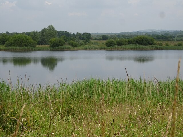
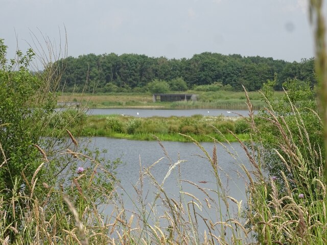
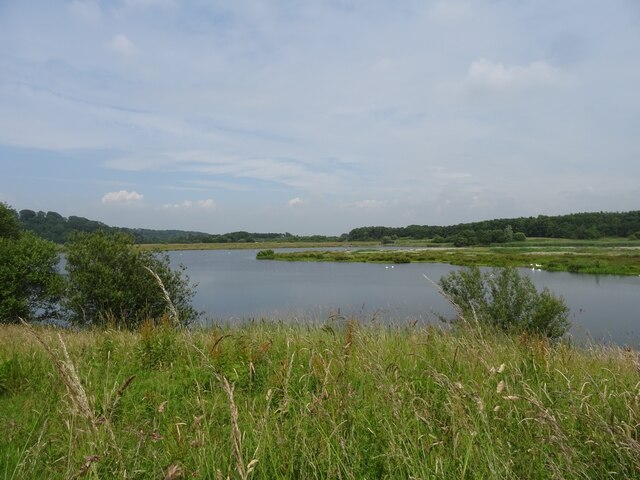
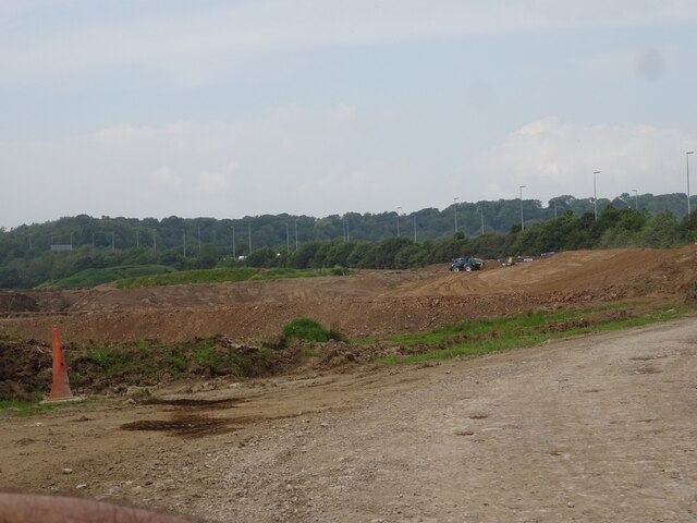
Eyes Wood is a picturesque woodland located in the county of Lancashire, England. Situated near the village of Wood, it is a popular destination for nature enthusiasts and those seeking tranquility amidst the beauty of nature. The wood covers an area of approximately 100 acres, making it a substantial forested area in the region.

One of the notable features of Eyes Wood is its diverse range of tree species. The woodland is home to a mix of deciduous and evergreen trees, including oak, birch, beech, and pine, creating a rich and vibrant tapestry of colors throughout the seasons. The dense foliage provides habitat for a wide variety of wildlife, including deer, squirrels, and numerous bird species.

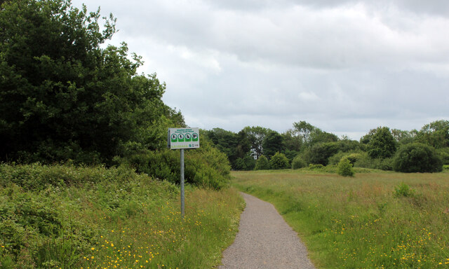
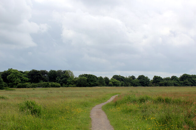
Visitors to Eyes Wood can explore its network of well-maintained walking trails, allowing them to immerse themselves in the natural surroundings. The trails wind through the forest, offering glimpses of enchanting glades, babbling brooks, and occasional clearings where visitors can rest and appreciate the serene atmosphere. Additionally, the wood features a small picnic area, providing a perfect spot for visitors to enjoy a leisurely lunch while surrounded by the sounds of nature.

Eyes Wood is managed by the local authorities, who ensure the preservation of its natural beauty and the protection of its wildlife. Access to the wood is free, making it an accessible and affordable destination for individuals and families alike.

In conclusion, Eyes Wood in Lancashire is a captivating forested area, offering a delightful escape from the hustle and bustle of everyday life. Its diverse flora and fauna, well-maintained trails, and peaceful ambiance make it a must-visit destination for nature lovers and those seeking solace in the embrace of nature.

If you have any feedback on the listing, please let us know in the comments section below.
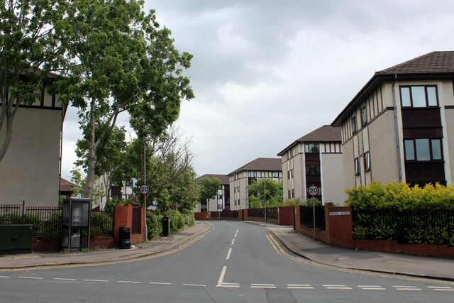
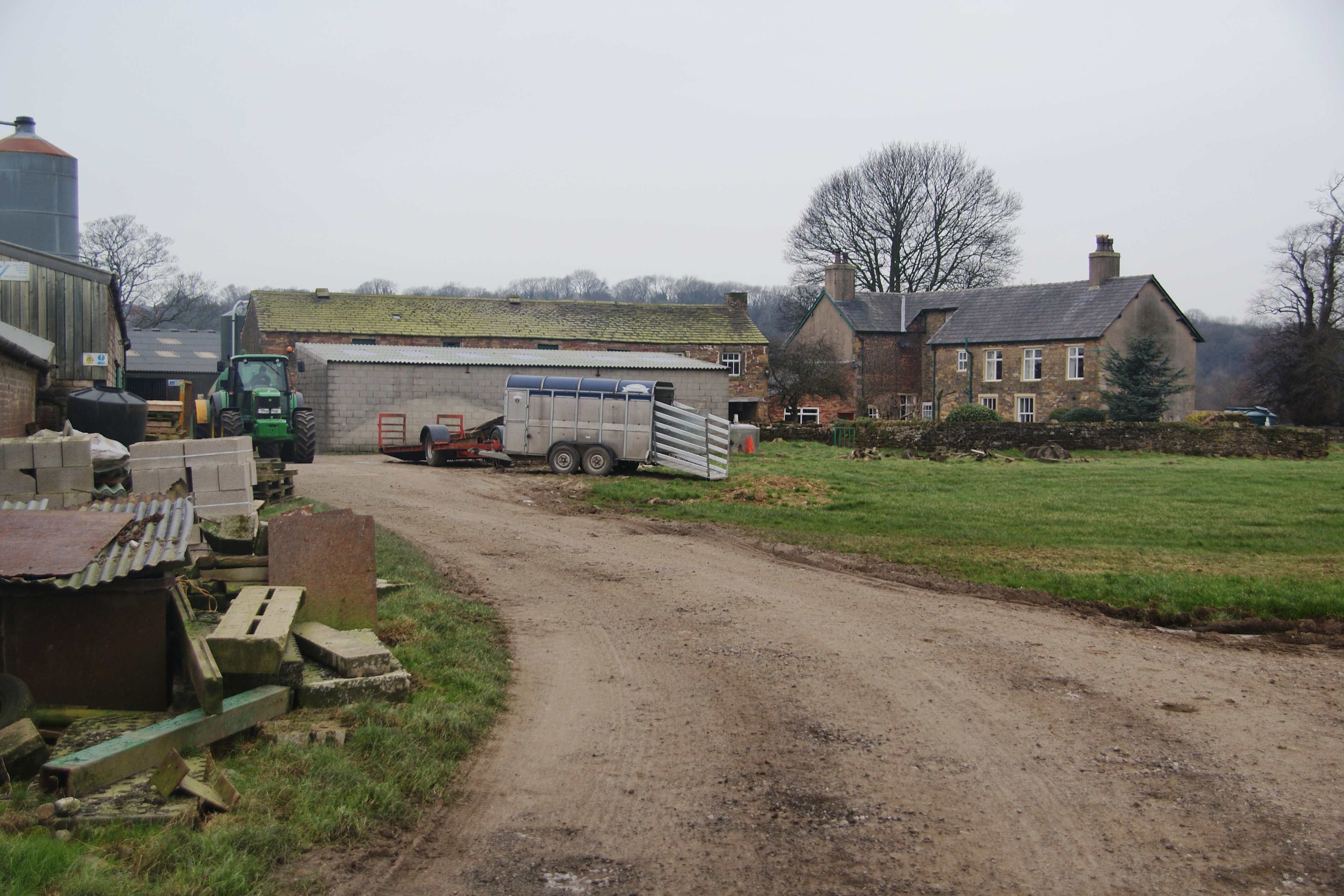
Eyes Wood Images

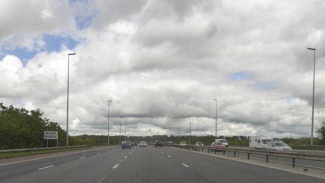
Images are sourced within 2km of 53.764436/-2.6491228 or Grid Reference SD5729. Thanks to Geograph Open Source API. All images are credited.

M6 approaching crossing of River Ribble
Gantries and footbridge over M6
Ribbleton Pool, Brockholes Nature Reserve
Number One Pit, Brockholes Nature Reserve
Number One Pit, Brockholes Nature Reserve The south end of the Number One Pit at Brockholes Nature Reserve.
Number One Pit, Brockholes Nature Reserve
The south end of the Number One Pit at Brockholes Nature Reserve.
Workings at Lower Brockholes
Matrix board - northbound M6
Junction 31A signage - northbound M6
M5 crossing the River Ribble east of Preston Slipway for the A677 on the other viaduct
M5 crossing the River Ribble east of Preston
Slipway for the A677 on the other viaduct
St. Leonard the Less Church, Salmesbury Grade I Listed Building mostly dating from the 1550's. 
There are roughly around 10 saints called Leonard - but I cannot identify which one is applicable to this church.
St. Leonard the Less Church, Salmesbury
Grade I Listed Building mostly dating from the 1550's. There are roughly around 10 saints called Leonard - but I cannot identify which one is applicable to this church.
Footpath heading South towards Boilton Wood The path follows the edge of Red Scar Wood. Concealed within the trees is an older path which runs parallel to this one - and carries the Ribble Way long distance footpath. The woods then plunge very steeply down to the River Ribble, below.
Footpath heading South towards Boilton Wood
The path follows the edge of Red Scar Wood. Concealed within the trees is an older path which runs parallel to this one - and carries the Ribble Way long distance footpath. The woods then plunge very steeply down to the River Ribble, below.
Pope Lane Hard surfaced footpath that crosses a large grass space from Red Scar Woods to reach and then traverse the M6 over a bridge, and into the Ribbleton district of Preston.
Pope Lane
Hard surfaced footpath that crosses a large grass space from Red Scar Woods to reach and then traverse the M6 over a bridge, and into the Ribbleton district of Preston.
Ruins of Ribbleton Hall All that is left of Ribbleton Hall in Grange Park, Preston.
Built by a Thomas Birchall in 1863, a local lawyer famed for his legion of mistresses.
It passed through several hands including a boys preparatory school in the 1920's, and the military during the Second World War.
It was finally demolished in 1955, to make way for a park for the local people of Preston.
Ruins of Ribbleton Hall
All that is left of Ribbleton Hall in Grange Park, Preston. Built by a Thomas Birchall in 1863, a local lawyer famed for his legion of mistresses. It passed through several hands including a boys preparatory school in the 1920's, and the military during the Second World War. It was finally demolished in 1955, to make way for a park for the local people of Preston.
Footbridge over the M6 Pope Lane crossing the Preston By-pass heading towards Red Scar Woods above the River Ribble
Footbridge over the M6
Pope Lane crossing the Preston By-pass heading towards Red Scar Woods above the River Ribble
Apartment Blocks on Grange Avenue Dwellings in the north eastern suburbs of Preston
Apartment Blocks on Grange Avenue
Dwellings in the north eastern suburbs of Preston
St Leonard The Less, Samlesbury
OS Published Abstract Bolt: Samlesbury, St. Leonard's Church <span class="nowrap"><a title="https://www.bench-marks.org.uk/bm29550" rel="nofollow ugc noopener" href="https://www.bench-marks.org.uk/bm29550">Link</a><img style="margin-left:2px;" alt="External link" title="External link - shift click to open in new window" src="https://s1.geograph.org.uk/img/external.png" width="10" height="10"/></span>
OS Published Abstract Bolt: Samlesbury, St. Leonard's Church
Location of OS Published Abstract Bolt: Samlesbury, St. Leonard's Church
Show me another place!

Eyes Wood is located at Grid Ref: SD5729 (Lat: 53.764436, Lng: -2.6491228)

Administrative County: Lancashire

District: Preston

Police Authority: Lancashire

What 3 Words

///rides.cones.appeal. Near Preston, Lancashire

Related Wikis

Cuerdale Hoard

The Cuerdale Hoard is a hoard of more than 8,600 items, including silver coins, English and Carolingian jewellery, hacksilver and ingots. It was discovered...

Ribbleton

Ribbleton is a suburb and ward of the city of Preston, Lancashire, England. It is located to the east of the city centre, between the A59 New Hall Lane...

Cuerdale

Cuerdale is a civil parish in the South Ribble district of Lancashire, England. It includes Cuerdale Hall and has no substantive settlements. It originated...

Brockholes (nature reserve)

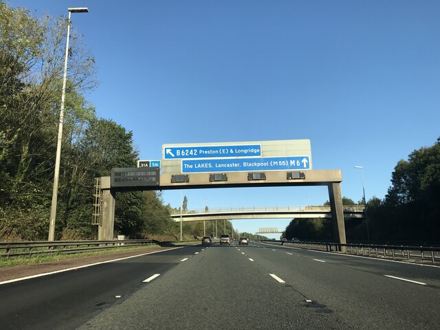
Brockholes is a nature reserve near Preston, Lancashire, England, just off Junction 31 of the M6 motorway. It is owned by the Wildlife Trust for Lancashire...

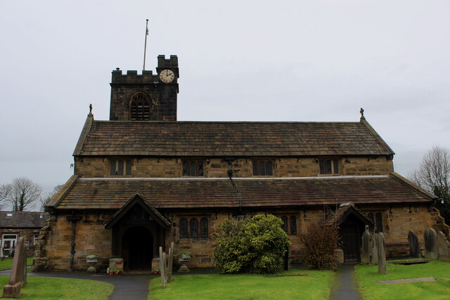
St Mary Magdalene's Church, Ribbleton

St Mary Magdalene's Church is in Ribbleton Avenue, Ribbleton, Preston, Lancashire, England. It is an active Anglican parish church in the deanery of Preston...

Church of St Leonard the Less, Samlesbury

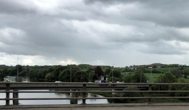
The Church of St Leonard the Less is an Anglican church in the village of Samlesbury, Lancashire, England, situated close to the banks of the River Ribble...

St Matthew's Church, Preston

St Matthew's Church, is in New Hall Lane, Preston, Lancashire, England. It is an active Anglican parish church in the deanery of Preston, the archdeaconry...

Samlesbury

Samlesbury ( or locally ) is a village and civil parish in South Ribble, Lancashire, England. Samlesbury Hall, a historic house, is in the village, as...

Nearby Amenities

Located within 500m of 53.764436,-2.6491228
Tickled Trout
Tourism: hotel
Lat/Long: 53.7653227/-2.641758
Crossing
Crossing: traffic_signals
Crossing Ref: pelican
Foot: yes
Lat/Long: 53.765728/-2.6559547
Motorway Junction
Lat/Long: 53.7648897/-2.641908
Bus Stop
Bus: yes
Naptan AtcoCode: 25001163
Naptan NaptanCode: lanagjtm
Public Transport: platform
Lat/Long: 53.7654355/-2.6559505
Atm
Santander
Cost: free
Created By: iLOE 1.9
Lat/Long: 53.765568/-2.656154
Post Box
Operator: Royal Mail
Lat/Long: 53.7654551/-2.6559008
Farringdon Park
Place: neighbourhood
Lat/Long: 53.7645645/-2.6566508
Speed Camera
Maxspeed: 40 mph
Lat/Long: 53.7650573/-2.6459632
Speed Camera
Maxspeed: 40 mph
Lat/Long: 53.7657194/-2.6520236
Community Centre
RAFT
Addr City: Preston
Addr Country: GB
Addr Housename: Farringdon Park Community Centre
Addr Housenumber: 18-24
Addr Postcode: PR1 5TR
Addr Street: Thirlmere Road
Fhrs Id: 479778
Survey Date: 2020-03-04
Lat/Long: 53.7669391/-2.6539372
Bus Stop
Bus: yes
Public Transport: platform
Lat/Long: 53.764788/-2.6422973
Farringdon Park
Bus: yes
Public Transport: stop_position
Lat/Long: 53.7654208/-2.6558125
The data included in this document is from www.openstreetmap.org. The data is made available under ODbL.

Have you been to Eyes Wood?

Leave your review of Eyes Wood below (or comments, questions and feedback).