Cuerdale
Civil Parish in Lancashire South Ribble
England
Cuerdale
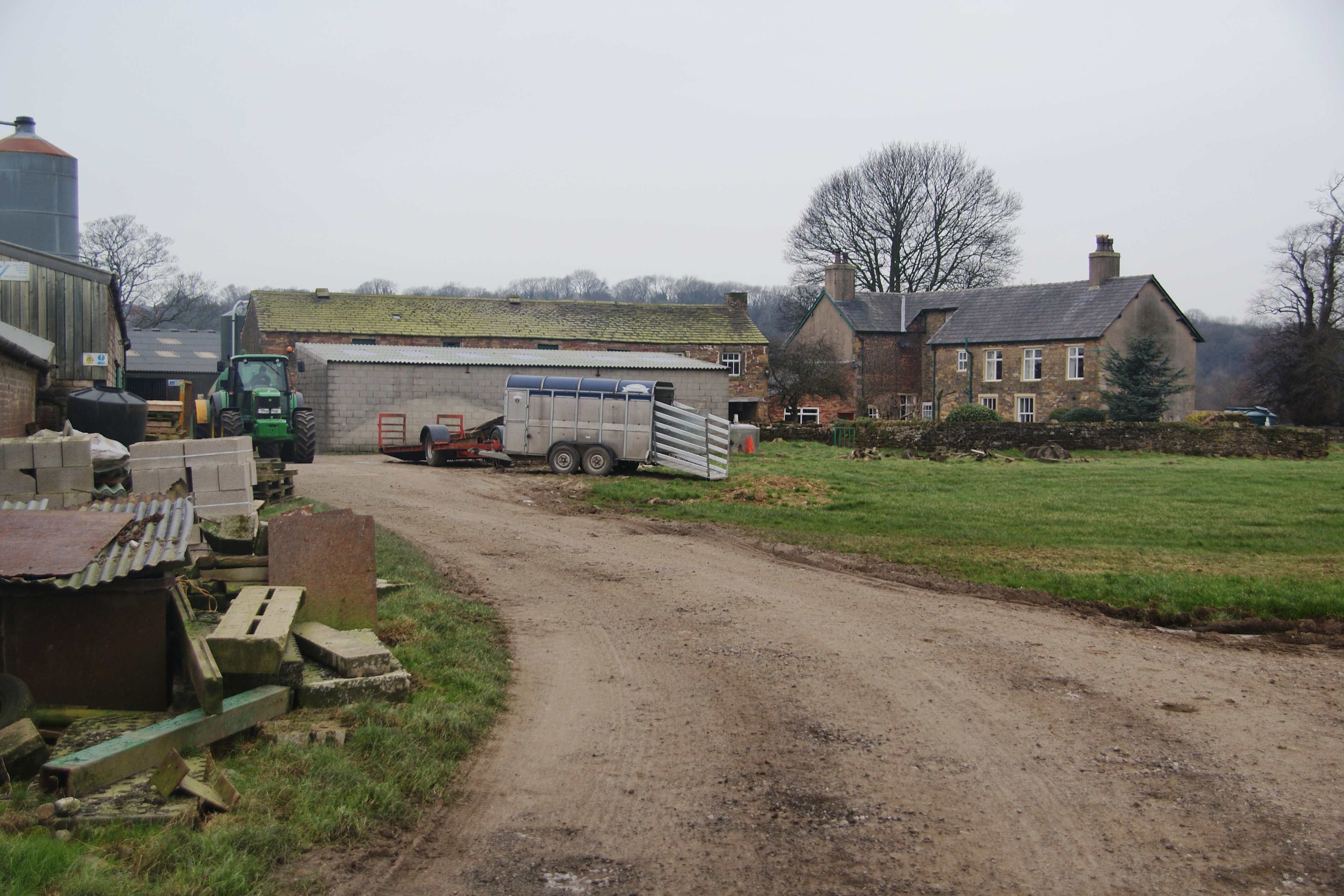
Cuerdale is a civil parish located in Lancashire, England. Situated on the banks of the River Ribble, it is approximately 4 miles southeast of the city of Preston. The parish covers an area of around 1.5 square miles and is predominantly rural in nature.
The centerpiece of Cuerdale is the famous Cuerdale Hoard, one of the largest Viking treasure troves ever discovered. Unearthed in 1840 by a group of workmen digging in a field, the hoard consisted of over 8,600 items, including silver coins, jewelry, and other artifacts. Today, the hoard is displayed in the British Museum in London.
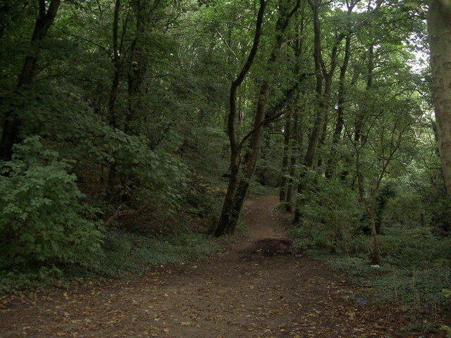
Cuerdale's landscape is characterized by rolling countryside, farmland, and some woodland areas. The River Ribble is a prominent feature, offering picturesque views and recreational opportunities such as fishing and boating.
The civil parish is primarily residential, with a small population of around 200 residents. The area is known for its quiet and peaceful atmosphere, making it an attractive destination for those seeking a tranquil rural lifestyle.
Although Cuerdale is primarily residential, there are a few amenities within the parish, including a local pub and a village hall. The nearby city of Preston provides residents with a wider range of services and facilities, including shopping centers, schools, and healthcare facilities.
Overall, Cuerdale is a charming civil parish in Lancashire, offering a mix of rural beauty, historical significance, and a close-knit community.
If you have any feedback on the listing, please let us know in the comments section below.
Cuerdale Images
Images are sourced within 2km of 53.756374/-2.650578 or Grid Reference SD5729. Thanks to Geograph Open Source API. All images are credited.


Cuerdale is located at Grid Ref: SD5729 (Lat: 53.756374, Lng: -2.650578)
Administrative County: Lancashire
District: South Ribble
Police Authority: Lancashire
What 3 Words
///normal.carbon.flock. Near Preston, Lancashire
Nearby Locations
Related Wikis
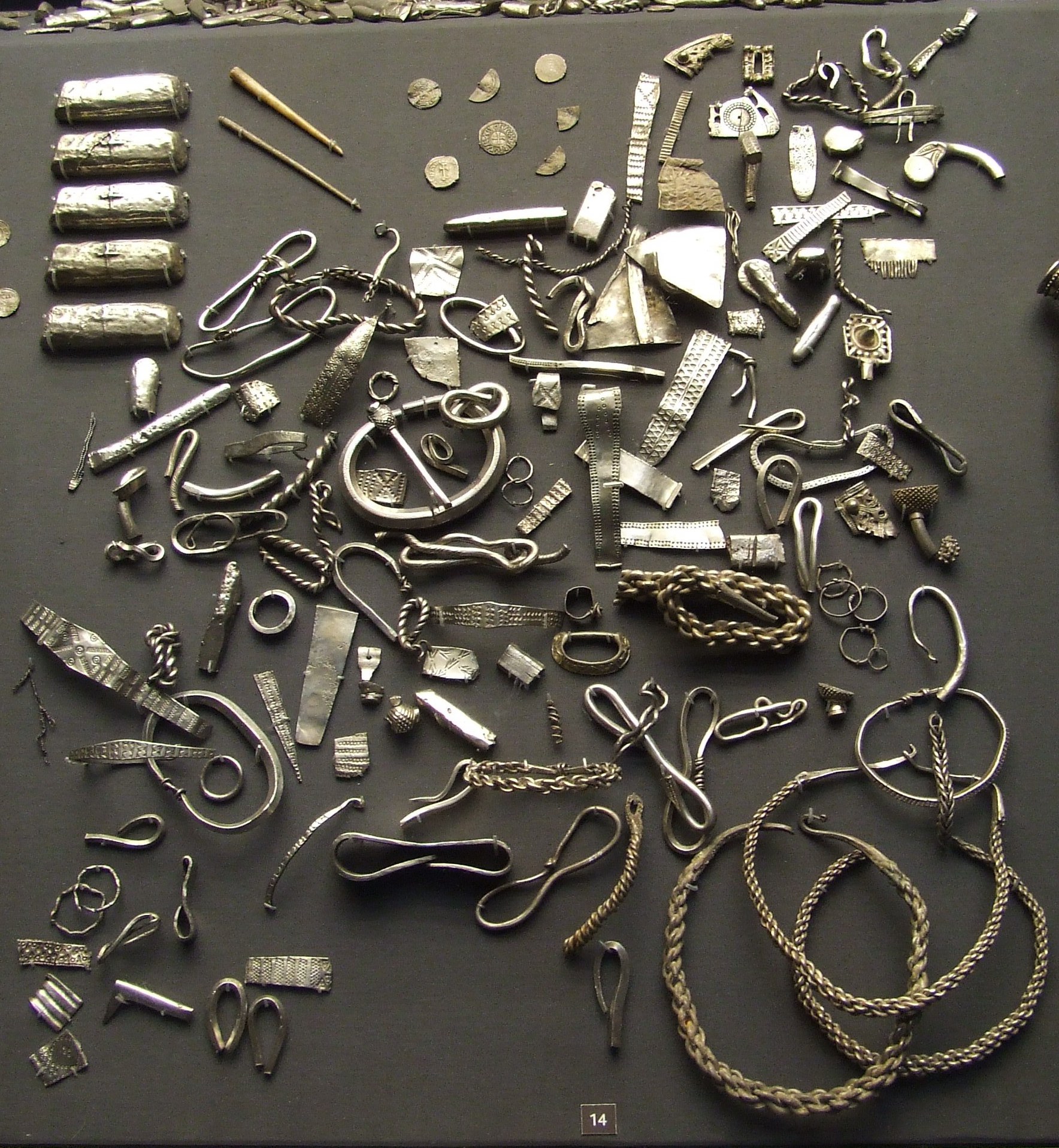
Cuerdale Hoard
The Cuerdale Hoard is a hoard of more than 8,600 items, including silver coins, English and Carolingian jewellery, hacksilver and ingots. It was discovered...
Cuerdale
Cuerdale is a civil parish in the South Ribble district of Lancashire, England. It includes Cuerdale Hall and has no substantive settlements. It originated...
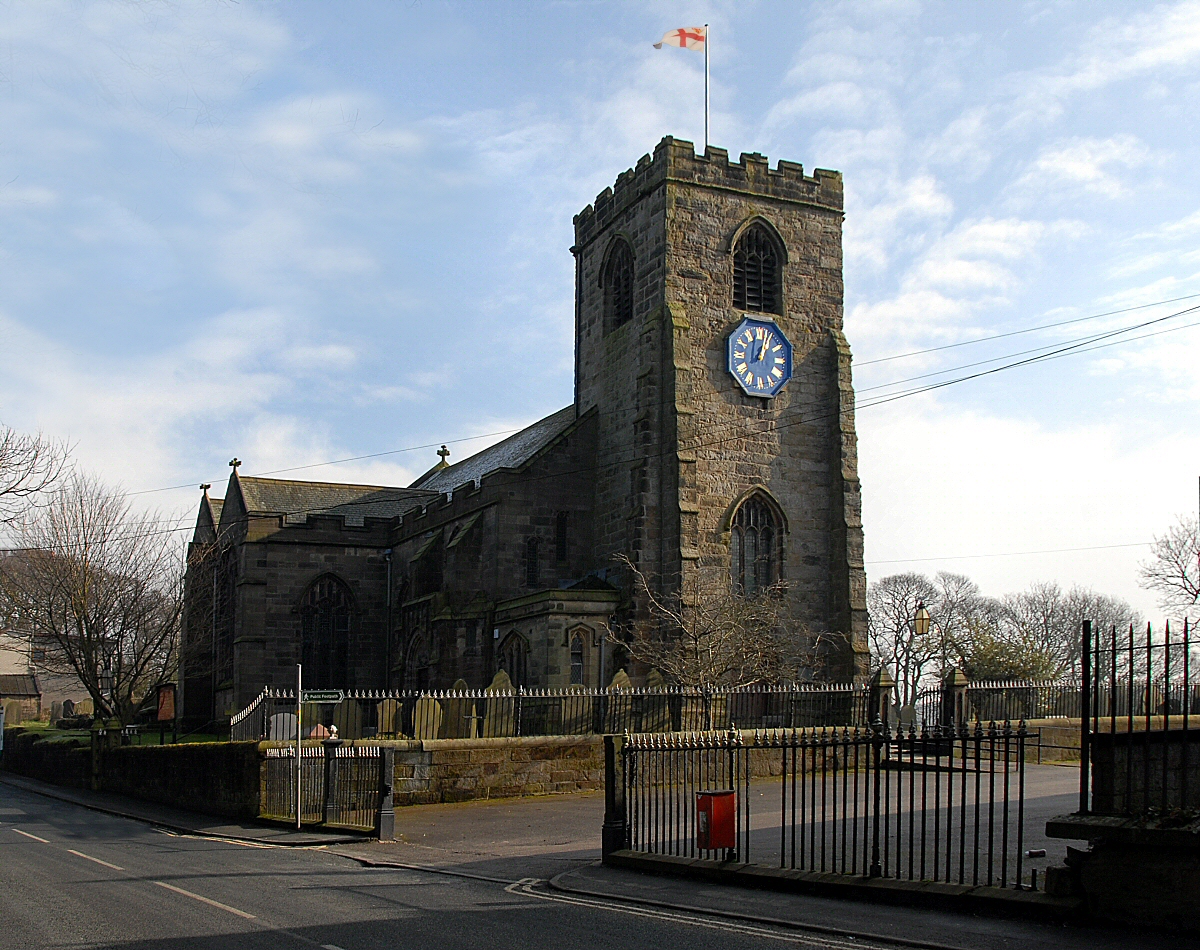
St Leonard's Church, Walton-le-Dale
St Leonard's Church is an Anglican church in Walton-le-Dale, Lancashire, England. It is an active parish church in the Diocese of Blackburn and the archdeaconry...
Walton-le-Dale
Walton-le-Dale is a large village in the borough of South Ribble, in Lancashire, England. It lies on the south bank of the River Ribble, opposite the city...
Have you been to Cuerdale?
Leave your review of Cuerdale below (or comments, questions and feedback).