Balway Wood
Wood, Forest in Somerset Mendip
England
Balway Wood
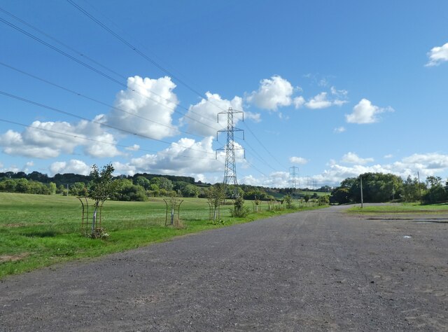
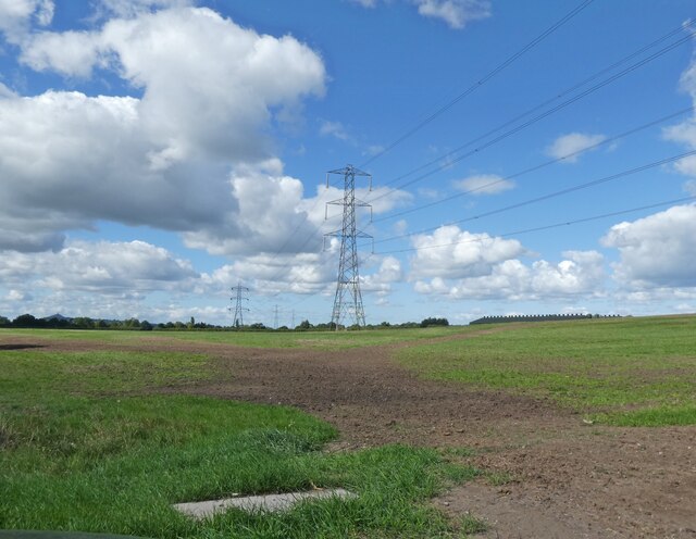
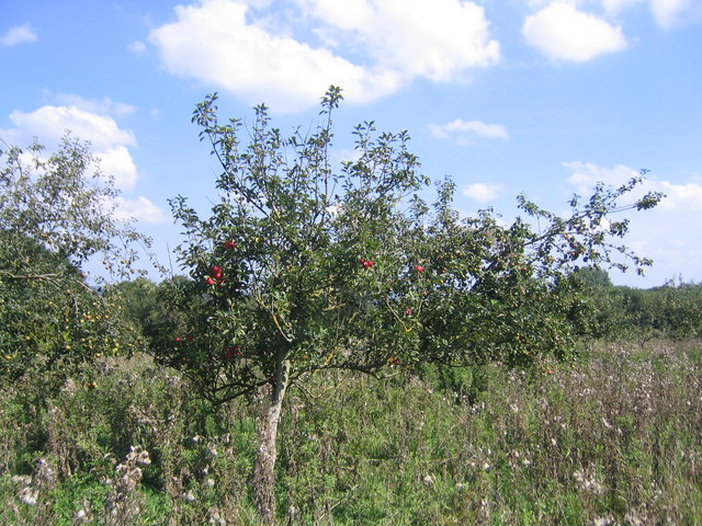
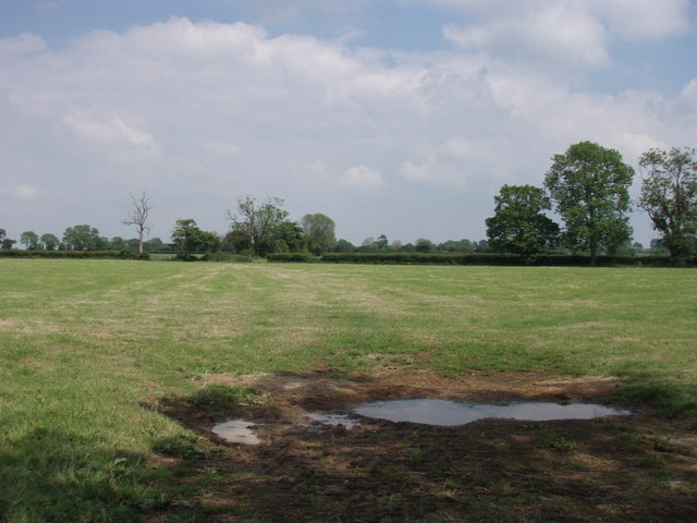
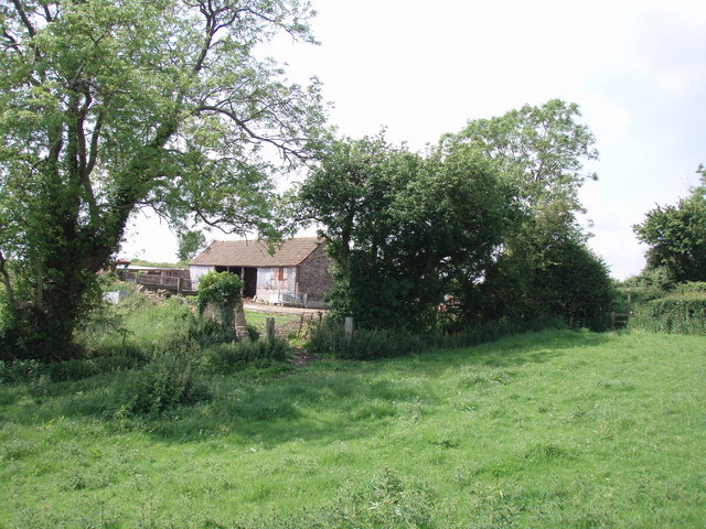
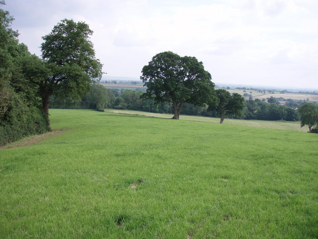
Balway Wood is a picturesque forest located in Somerset, England. Covering an area of approximately 100 hectares, this woodland is renowned for its natural beauty and diverse range of flora and fauna. It is situated just a few miles away from the town of Balway, which lends its name to the forest.
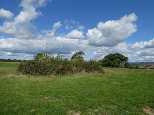
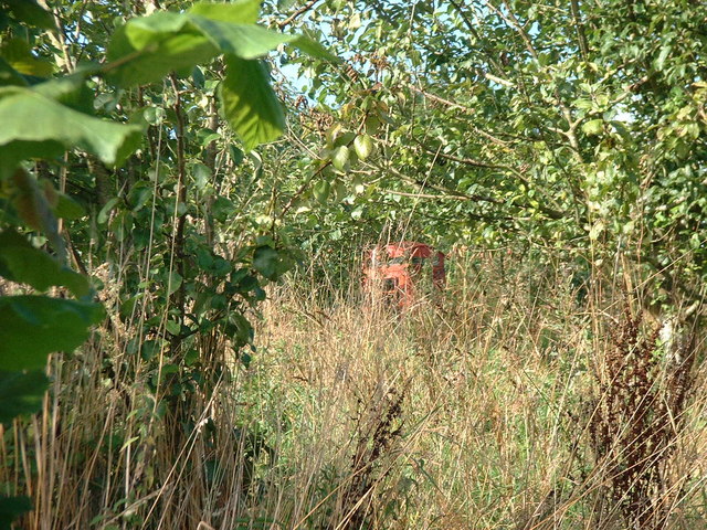
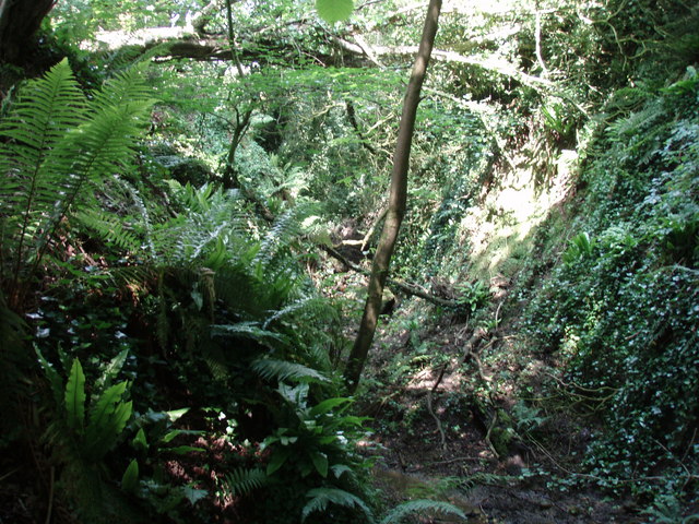
The woodland is predominantly composed of broadleaf trees, including oak, beech, and ash, which create a dense canopy that filters sunlight, casting a beautiful dappled effect on the forest floor. The undergrowth is lush and vibrant, with ferns, bluebells, and wild garlic adding to the area's charm.
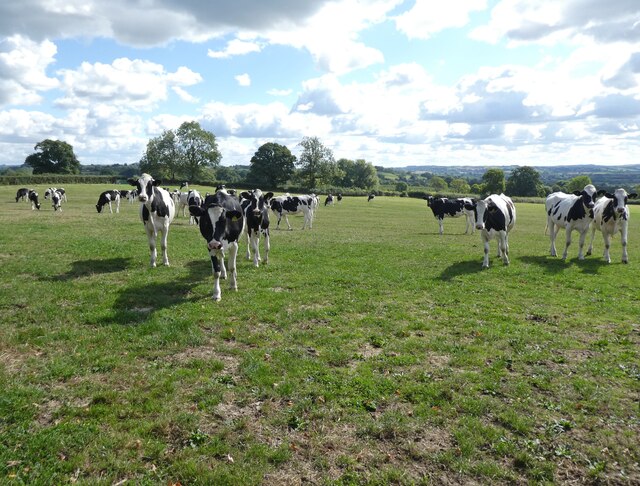
Balway Wood is a haven for wildlife enthusiasts, as it provides a sanctuary for numerous species. Visitors may have the opportunity to spot native animals such as deer, badgers, foxes, and various bird species, including woodpeckers and owls. The forest also offers a rich habitat for insects and small mammals.
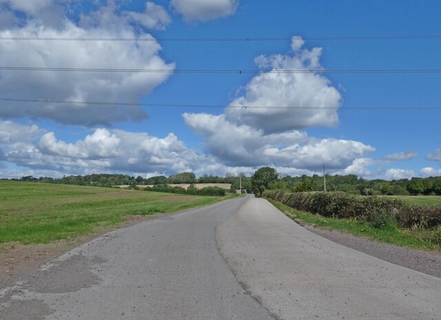
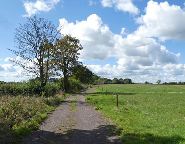
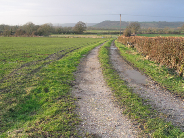
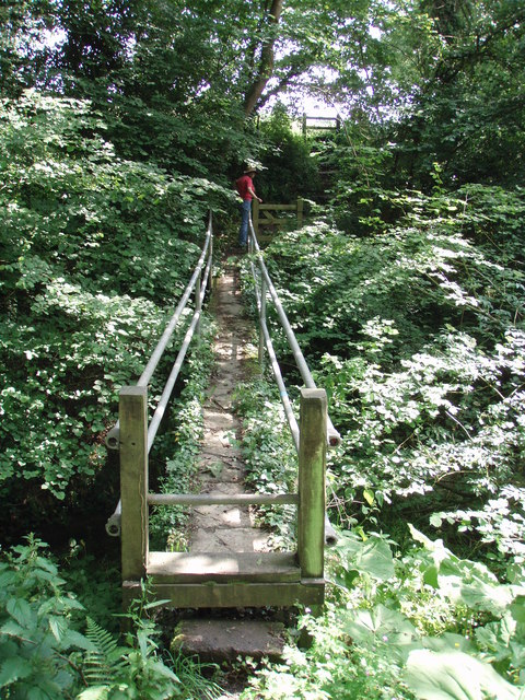
For nature lovers, Balway Wood offers a tranquil escape from the hustle and bustle of everyday life. There are several well-maintained footpaths and trails that wind through the forest, allowing visitors to explore its hidden treasures. These paths are also ideal for birdwatching and photography.
Furthermore, the forest is a popular destination for outdoor activities such as hiking, cycling, and picnicking. There are designated picnic areas with benches and tables, providing a perfect spot to relax and enjoy the natural surroundings.
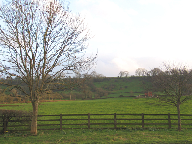
Overall, Balway Wood is a captivating woodland that showcases the beauty of Somerset's natural landscape. With its diverse range of plant and animal life, it offers a peaceful retreat for both nature enthusiasts and those seeking outdoor recreational activities.
If you have any feedback on the listing, please let us know in the comments section below.
Balway Wood Images
Images are sourced within 2km of 51.144553/-2.6092579 or Grid Reference ST5738. Thanks to Geograph Open Source API. All images are credited.
Balway Wood is located at Grid Ref: ST5738 (Lat: 51.144553, Lng: -2.6092579)
Administrative County: Somerset
District: Mendip
Police Authority: Avon and Somerset
What 3 Words
///ironclad.eggs.blending. Near Shepton Mallet, Somerset
Nearby Locations
Related Wikis

West Pennard railway station
West Pennard railway station was a station on the Highbridge branch of the Somerset and Dorset Joint Railway. Opened on 3 February 1862, it was reduced...

Glastonbury Festival
Glastonbury Festival (formally Glastonbury Festival of Contemporary Performing Arts and known colloquially as Glasto) is a five-day festival of contemporary...
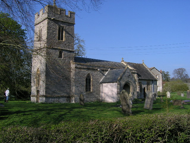
Church of St Andrew, West Bradley
The Anglican Church of St Andrew in West Bradley, within the English county of Somerset, dates from the 14th century. It is a Grade II* listed building...
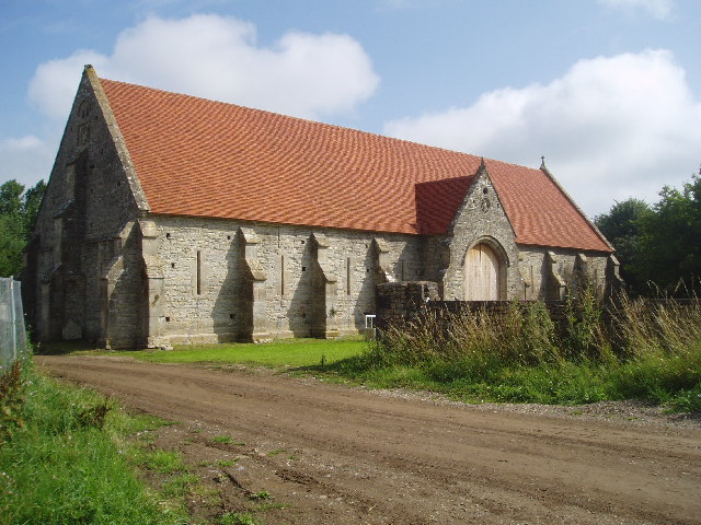
Tithe Barn, Pilton
The Tithe Barn at Cumhill Farm in Pilton, Somerset, England, was built in the 14th century as a tithe barn to hold produce for Glastonbury Abbey. It is...

East Pennard
East Pennard is a village and civil parish 4 miles (6.4 km) north west of Castle Cary, and 5 miles (8.0 km) south of Shepton Mallet, in the Mendip district...
Worthy FM
Worthy FM is the onsite radio station of The Glastonbury Festival. It broadcasts on 87.7 MHz FM and online for one week only during the Festival, operating...

West Bradley
West Bradley is a village and civil parish 4 miles south-east of Glastonbury in Somerset, England. The parish includes the hamlets of Hornblotton and Lottisham...
Pilton, Somerset
Pilton is a village and civil parish in Somerset, England, situated on the A361 road in the Mendip district, 3 miles (5 km) south-west of Shepton Mallet...
Nearby Amenities
Located within 500m of 51.144553,-2.6092579Have you been to Balway Wood?
Leave your review of Balway Wood below (or comments, questions and feedback).