Bramble Coppice
Wood, Forest in Dorset
England
Bramble Coppice
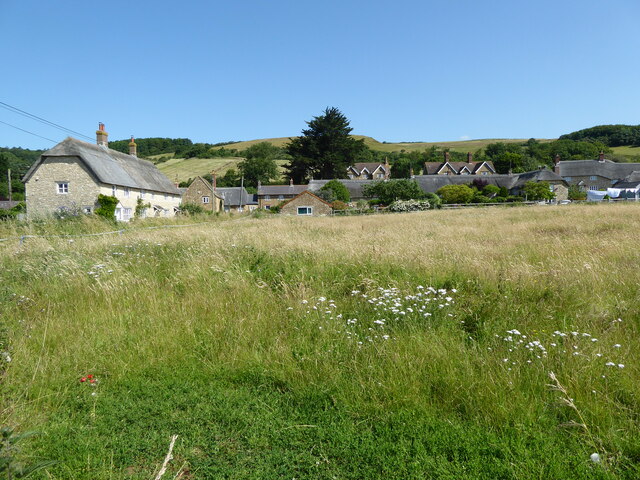
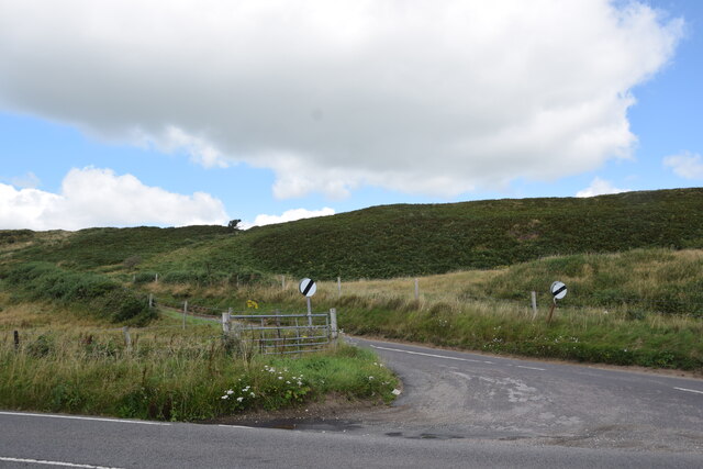
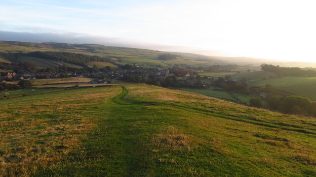
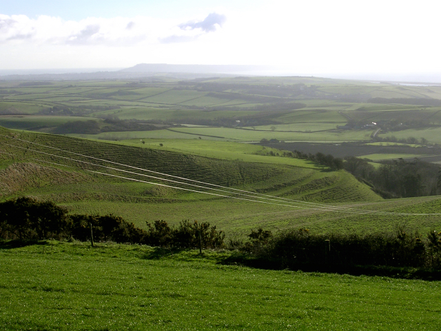
Bramble Coppice is a picturesque woodland located in the county of Dorset, England. Spanning over an area of approximately 150 acres, this enchanting forest is a haven for nature enthusiasts and those seeking tranquility amidst the bustling modern world.
The wood features a diverse range of tree species, including oak, ash, beech, and birch, creating a rich and vibrant ecosystem. The forest floor is adorned with an abundance of native plants and wildflowers, adding to its natural allure. The dense canopy formed by the towering trees provides shelter to numerous bird species, making it an ideal spot for birdwatching.
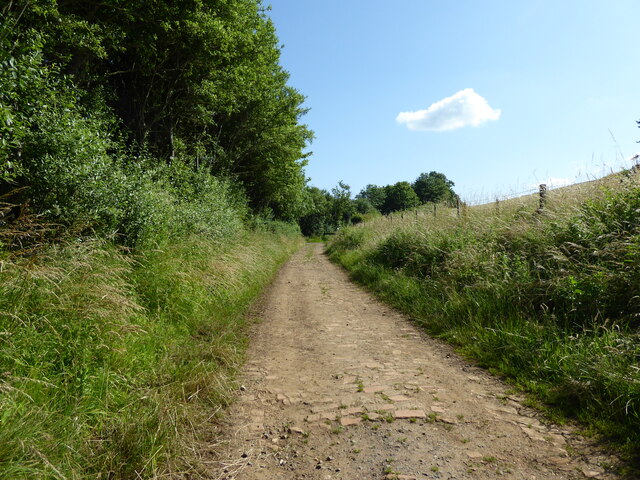
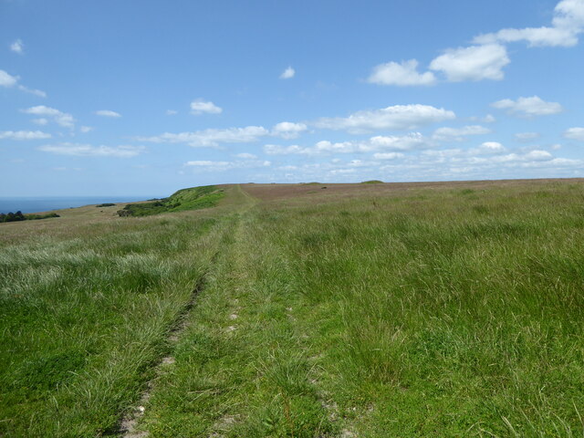
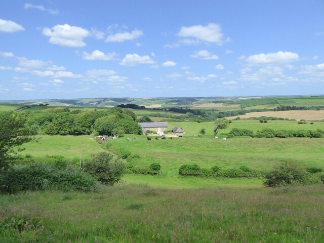
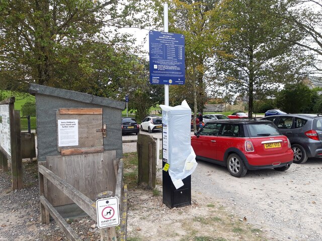
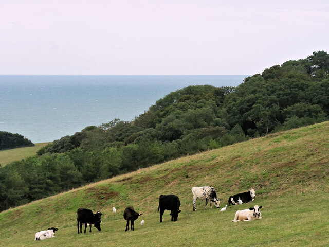
Bramble Coppice offers a network of well-maintained walking trails, allowing visitors to explore its hidden treasures. These trails wind through the heart of the woodland, offering glimpses of stunning vistas and secluded clearings. The forest is also home to a variety of wildlife, including deer, foxes, and squirrels, which can often be spotted during a leisurely stroll.
Nature conservation is a priority at Bramble Coppice, with efforts made to preserve the natural habitat and protect its inhabitants. The woodland is managed sustainably, ensuring the continued growth and health of the forest for future generations to enjoy.
Visitors to Bramble Coppice can partake in activities such as hiking, picnicking, and photography. The peaceful atmosphere and breathtaking scenery make it an idyllic retreat for individuals and families alike.
In conclusion, Bramble Coppice in Dorset is a captivating woodland that offers a serene escape into nature. With its diverse flora and fauna, well-maintained trails, and commitment to conservation, it is a must-visit destination for nature lovers.
If you have any feedback on the listing, please let us know in the comments section below.
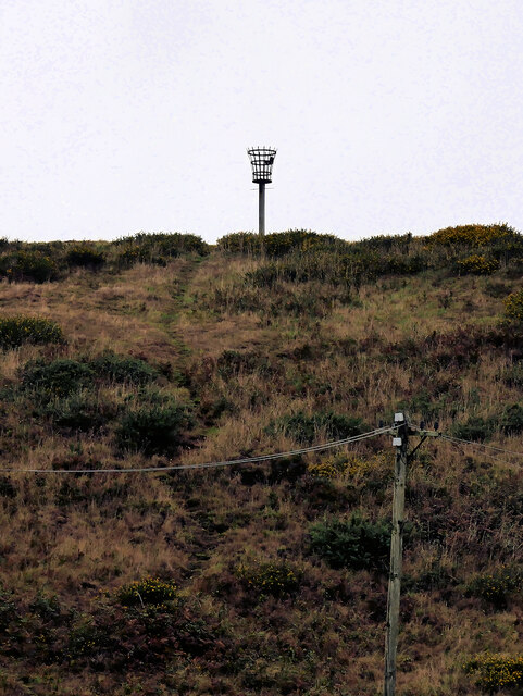
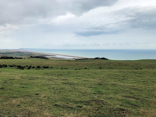
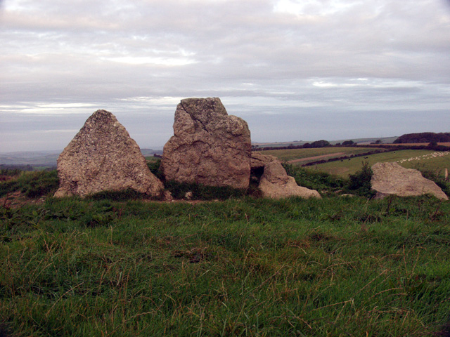
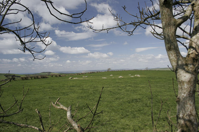
Bramble Coppice Images
Images are sourced within 2km of 50.679508/-2.6004681 or Grid Reference SY5786. Thanks to Geograph Open Source API. All images are credited.

Bramble Coppice is located at Grid Ref: SY5786 (Lat: 50.679508, Lng: -2.6004681)
Unitary Authority: Dorset
Police Authority: Dorset
What 3 Words
///younger.eyelid.sparrows. Near Chickerell, Dorset
Nearby Locations
Related Wikis
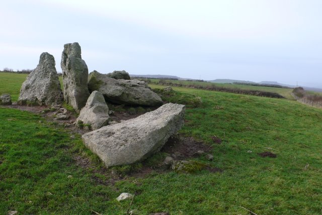
The Grey Mare and her Colts
The Grey Mare and her Colts is a megalithic chambered long barrow located near Abbotsbury in Dorset, England. It was built during the Early and Middle...

Kingston Russell Stone Circle
Kingston Russell Stone Circle, also known as the Gorwell Circle, is a stone circle located between the villages of Abbotsbury and Littlebredy in the south...

Abbotsbury Blind Lane
Abbotsbury Blind Lane (grid reference SY576856) is a 0.4 hectares (0.99 acres) geological Site of Special Scientific Interest in Dorset, notified in 1986...

Abbotsbury
Abbotsbury is a village and civil parish in the English county of Dorset. The settlement is in the unitary authority of Dorset about 1 mile (1.6 km) inland...

St Nicholas' Church, Abbotsbury
St Nicholas' Church is a Church of England church in Abbotsbury, Dorset, England. The earliest parts of the church date to the 14th century origin, with...

Abbotsbury railway station
Abbotsbury was the terminus of the Abbotsbury branch railway in the west of the English county of Dorset. Serving the village of Abbotsbury, it was sited...
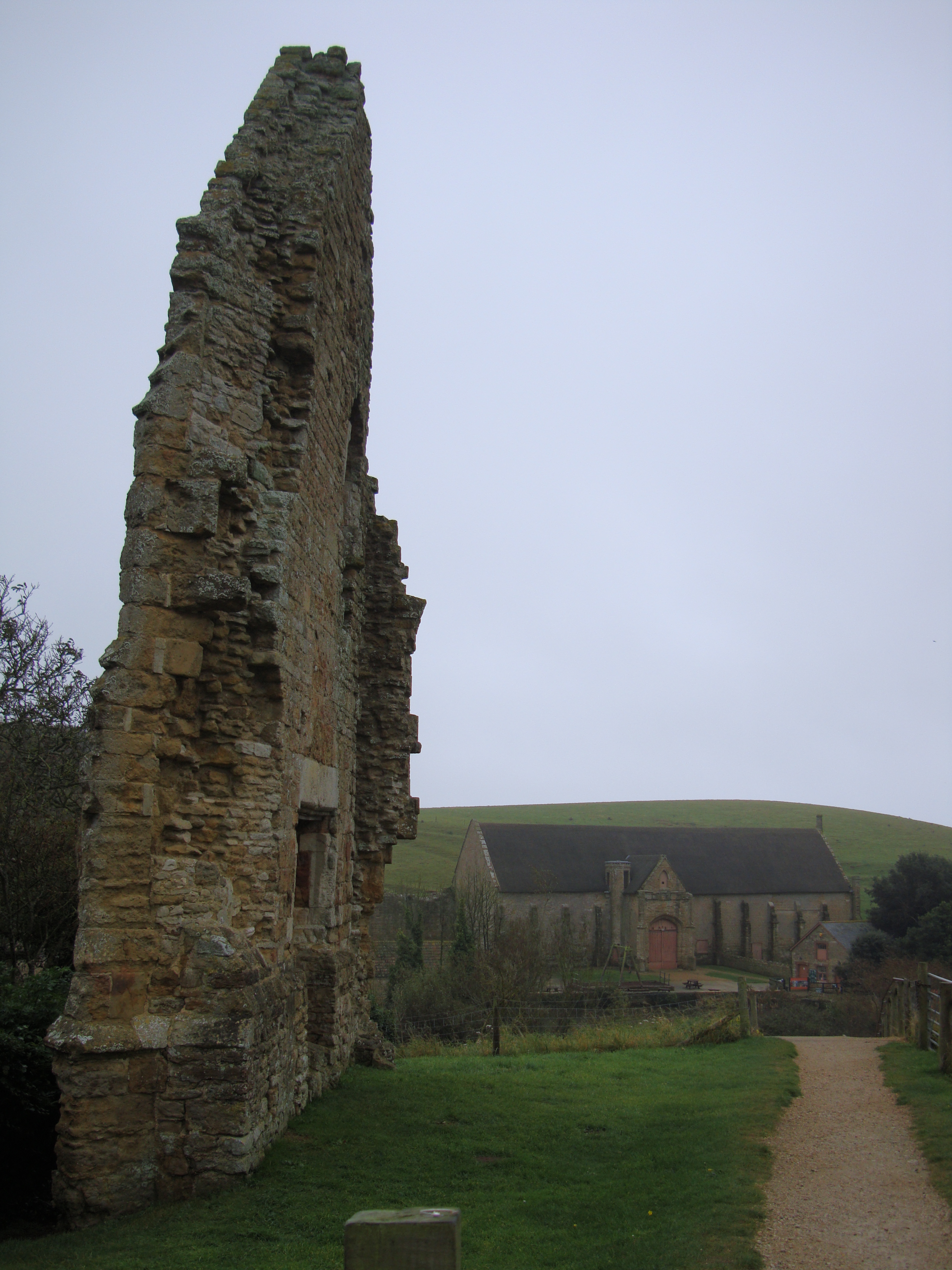
Abbotsbury Abbey
Abbotsbury Abbey, dedicated to Saint Peter, was a Benedictine monastery in the village of Abbotsbury in Dorset, England. The abbey was founded in the 11th...
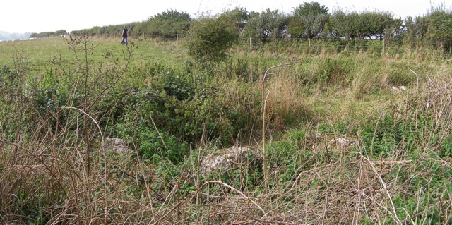
Hampton Down Stone Circle
The Hampton Down Stone Circle is a stone circle located near to the village of Portesham in the south-western English county of Dorset. Archaeologists...
Nearby Amenities
Located within 500m of 50.679508,-2.6004681Have you been to Bramble Coppice?
Leave your review of Bramble Coppice below (or comments, questions and feedback).