Ashwell Grove
Wood, Forest in Gloucestershire Forest of Dean
England
Ashwell Grove
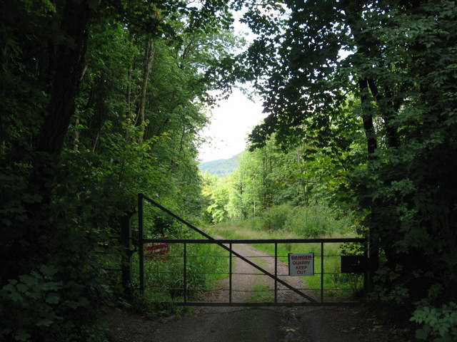
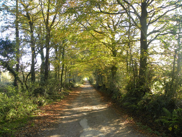
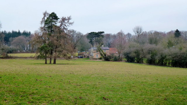
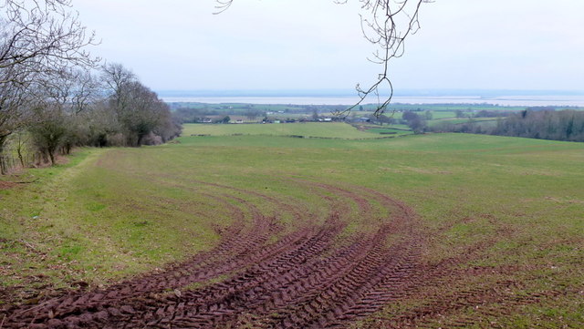
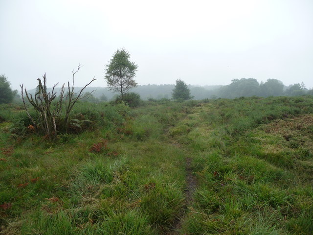
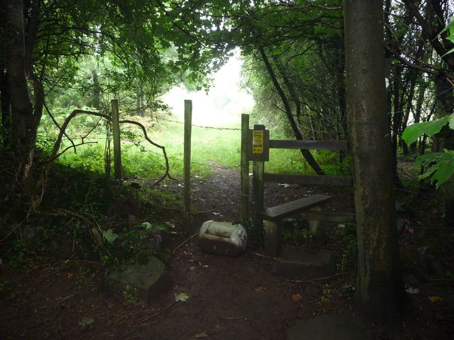
Ashwell Grove is a small woodland area located in Gloucestershire, England. Situated in the heart of the county, it is surrounded by the beautiful rolling hills and picturesque landscapes that the region is famous for. The grove covers an area of approximately 20 acres and is predominantly composed of various species of trees, including oak, beech, and ash.
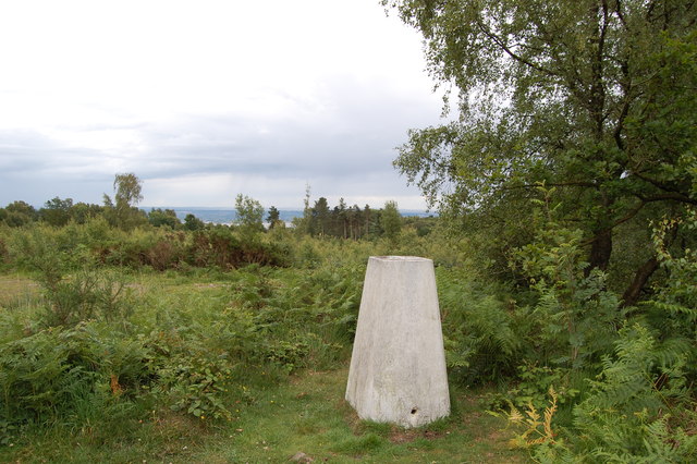
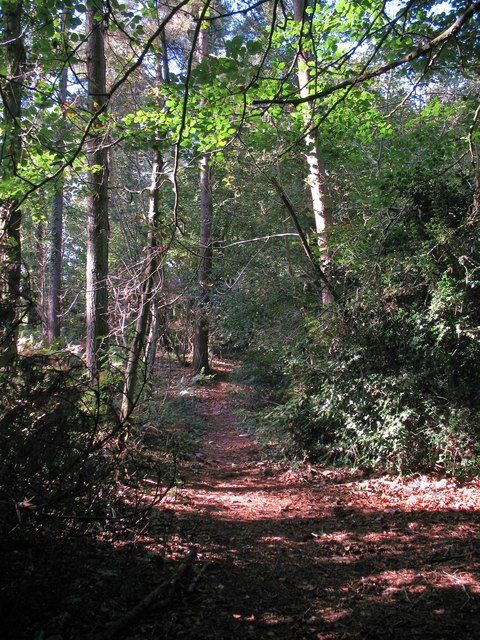
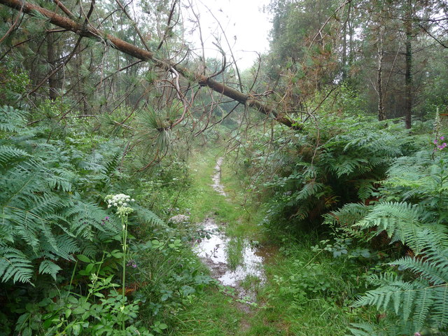
The woodland is home to a diverse range of flora and fauna, making it a haven for nature enthusiasts and wildlife lovers. The forest floor is adorned with carpets of bluebells during the spring months, creating a breathtaking sight for visitors. The trees provide a habitat for numerous bird species, such as woodpeckers and owls, as well as small mammals like squirrels and foxes.
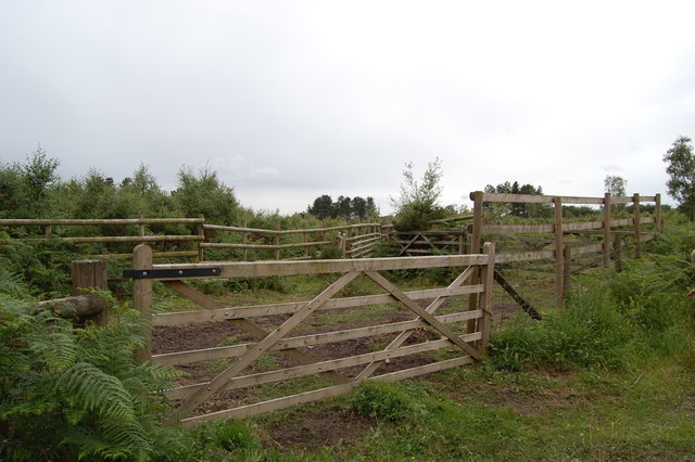
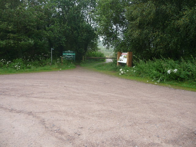
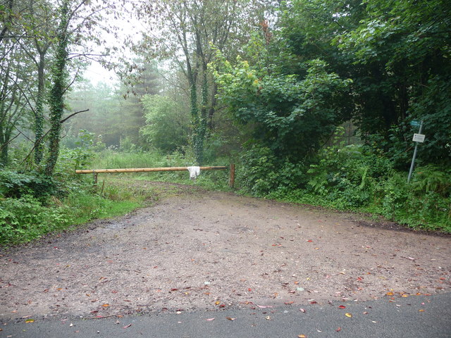
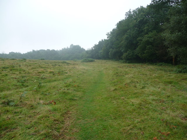
Ashwell Grove offers a tranquil escape from the hustle and bustle of everyday life. It boasts a network of well-maintained walking trails, allowing visitors to explore the grove at their own pace. The paths wind through the trees, offering glimpses of sunlight filtering through the dense foliage and creating a magical atmosphere.
The grove is also a popular spot for outdoor activities such as picnicking, birdwatching, and photography. Its peaceful surroundings and natural beauty make it an ideal location for those seeking solace in nature.
Ashwell Grove is easily accessible, with car parks and public transportation options available nearby. It is a cherished local landmark and a testament to the natural beauty of Gloucestershire's woodlands.
If you have any feedback on the listing, please let us know in the comments section below.
Ashwell Grove Images
Images are sourced within 2km of 51.689525/-2.6257935 or Grid Reference ST5699. Thanks to Geograph Open Source API. All images are credited.
Ashwell Grove is located at Grid Ref: ST5699 (Lat: 51.689525, Lng: -2.6257935)
Administrative County: Gloucestershire
District: Forest of Dean
Police Authority: Gloucestershire
What 3 Words
///crest.alike.baker. Near Tintern, Monmouthshire
Nearby Locations
Related Wikis

Ridley Bottom, Tidenham
Ridley Bottom (grid reference ST563985) is a 1.1-hectare (2.7-acre) nature reserve in Gloucestershire. The site is listed in the 'Forest of Dean Local...

Poor's Allotment
Poor's Allotment (grid reference ST560990) is a 28.57-hectare (70.6-acre) biological Site of Special Scientific Interest in Gloucestershire, notified in...

East Wood, Tidenham
East Wood (grid reference SO561001) (west site) and (grid reference SO563001) (east site) is a 0.82-hectare (2.0-acre) nature reserve in Gloucestershire...

Miss Grace's Lane
Miss Grace's Lane (also known as Miss Grace's Lane Swallett), near Tidenham in the Forest of Dean, Gloucestershire, England, is a natural cave system,...

Woolaston
Woolaston is a village and civil parish in the Forest of Dean district of Gloucestershire in South West England. It lies on the north side of the Severn...

Boughspring
Boughspring is a hamlet in Gloucestershire, England. == History == Settlement at Boughspring dates back to Roman times when a villa was built nearby. Boughspring...

Tintern Quarry
Tintern Quarry was a quarry in the Forest of Dean, Gloucestershire, England. It was served by the Wye Valley Railway from 1876 until it closed in 1981...
Devil's Pulpit, Gloucestershire
The Devil's Pulpit is a rocky limestone outcrop and scenic viewpoint in the Forest of Dean District of Gloucestershire, England, within the Wye Valley...
Related Videos


Devils pulpit’s | An Adventurers Place To Visit In Scotland. #travel #ukvloger
Did you know that not too far from Glasgow and Edinburgh in Scotland is a beautiful moss covered, 100ft deep gorge, through ...

Offa's Dyke Day 1 Chepstow to Monmouth
May 31, 2021 with Peter O'Connor walking Chepstow to Monmouth Music: Illuminate You Musician: Weary Eyes URL: ...

Tidenham Tunnel in 30 seconds
I recently passed through the tunnel on the way to a campsite. It was reopened to cyclists and walkers in 2021. For more details ...
Nearby Amenities
Located within 500m of 51.689525,-2.6257935Have you been to Ashwell Grove?
Leave your review of Ashwell Grove below (or comments, questions and feedback).