Gill Plantation
Wood, Forest in Lancashire Lancaster
England
Gill Plantation

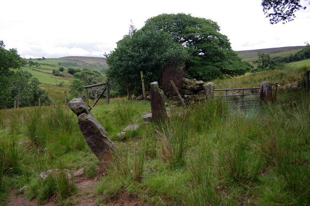
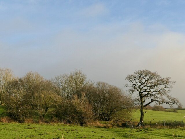
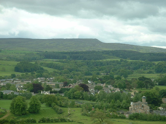
Gill Plantation is a picturesque woodland located in Lancashire, England. Covering an area of approximately 100 acres, it is a haven for nature enthusiasts and outdoor lovers alike. The plantation is situated near the village of Gill, making it easily accessible for visitors from surrounding areas.
The woodland is predominantly made up of native tree species, including oak, beech, and ash, which create a dense and vibrant forest. The tall and majestic trees provide a tranquil and serene atmosphere, making it an ideal place for peaceful walks and relaxation.
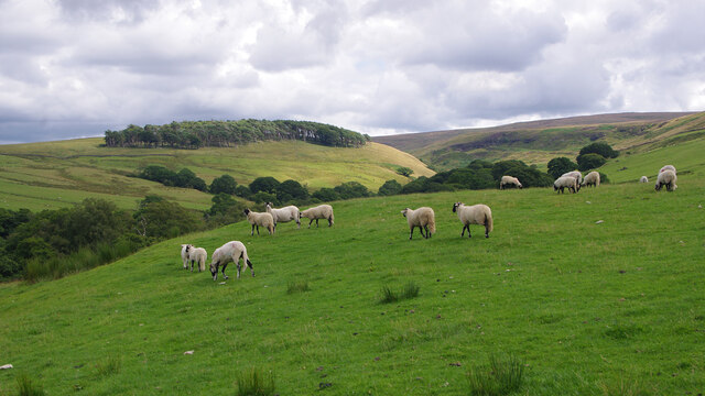
Gill Plantation is home to a diverse range of wildlife, with various bird species inhabiting the area. Birdwatchers can often spot woodpeckers, owls, and even the occasional buzzard soaring above the treetops. The woodland floor is also abundant with wildflowers and ferns, attracting a variety of insects and small mammals.
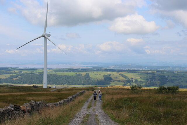
Visitors to Gill Plantation can explore the numerous walking trails that wind their way through the forest. These well-maintained paths offer stunning views of the surrounding countryside and allow visitors to fully immerse themselves in the beauty of nature. The plantation also features picnic areas, where visitors can enjoy a packed lunch while taking in the tranquil surroundings.
Gill Plantation is a true gem in the Lancashire countryside, offering a peaceful retreat for those seeking solace in nature. Whether it's a leisurely stroll or a birdwatching expedition, this woodland provides a wonderful opportunity to connect with the natural world.
If you have any feedback on the listing, please let us know in the comments section below.
Gill Plantation Images
Images are sourced within 2km of 54.054145/-2.6608118 or Grid Reference SD5662. Thanks to Geograph Open Source API. All images are credited.


Gill Plantation is located at Grid Ref: SD5662 (Lat: 54.054145, Lng: -2.6608118)
Administrative County: Lancashire
District: Lancaster
Police Authority: Lancashire
What 3 Words
///punctured.skipped.headed. Near Caton, Lancashire
Related Wikis
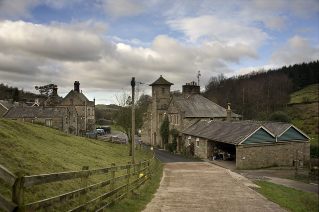
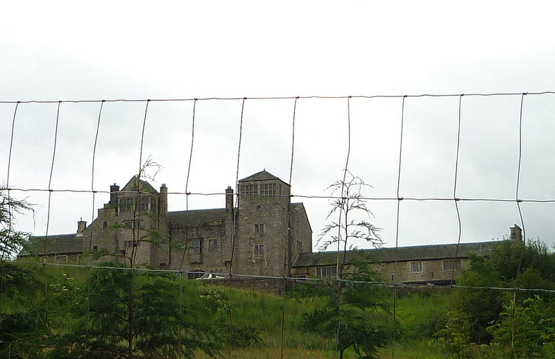
Littledale Hall
Littledale Hall is a former country house in the civil parish of Caton-with-Littledale in Lancashire, England, some 10 miles (16 km) east of Lancaster...

Roeburndale
Roeburndale is a civil parish in the City of Lancaster and the English county of Lancashire. In 2001 it had a population of 76. In the 2011 census Roeburndale...
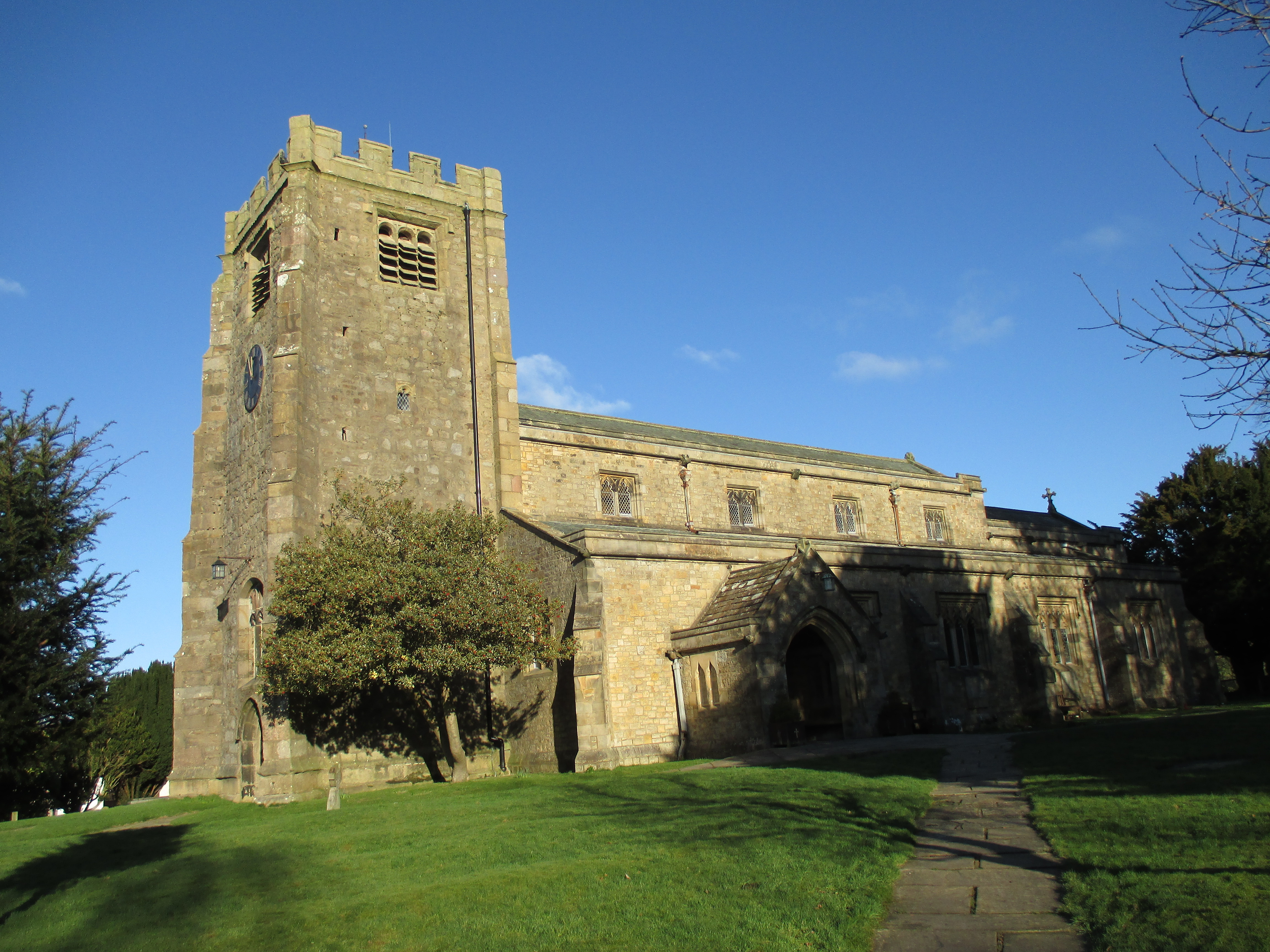
St Paul's Church, Brookhouse
St Paul's Church is in the village of Brookhouse, Caton-with-Littledale, Lancashire, England. It is an active Anglican parish church in the deanery of...

Grit Fell
Grit Fell is a lonely hill between Clougha Pike and Ward's Stone in the Forest of Bowland in Lancashire, England. Covered by heather and large bogs, it...

Clougha Pike
Clougha Pike ( KLUUF-ə) is a hill in the Forest of Bowland in Lancashire, England. From the west it looms over the Conder Valley, the city of Lancaster...
Claughton Hall
Claughton Hall (Claughton pronounced KLAF-tən) is a large country house in the English village of Claughton, Lancashire. A Grade I listed building, it...
Caton-with-Littledale
The civil parish of Caton-with-Littledale is situated in Lancashire, England, near the River Lune. The parish lies within the Forest of Bowland Area of...

Ward's Stone
Ward's Stone is the highest hill in the Forest of Bowland, England. Its flat top hides two trig points nearly a kilometre apart. The western trig point...
Related Videos

Insta 360 x3 ride out after work
insta 360 x3.
Nearby Amenities
Located within 500m of 54.054145,-2.6608118Have you been to Gill Plantation?
Leave your review of Gill Plantation below (or comments, questions and feedback).