Burnt Plantation

Wood, Forest in Gloucestershire Forest of Dean

England

Burnt Plantation

Gateway to Tintern Quarry
Gateway to Tintern Quarry Credit: Gareth James

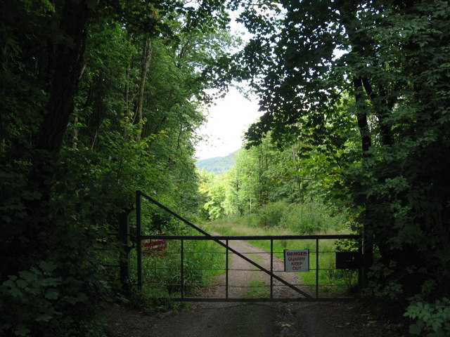
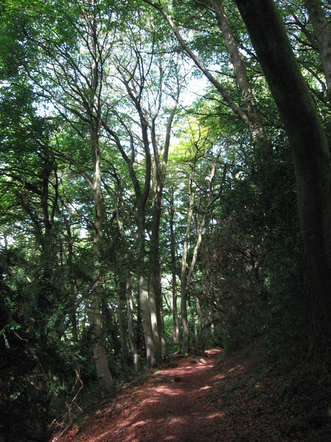
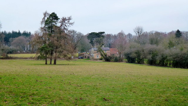
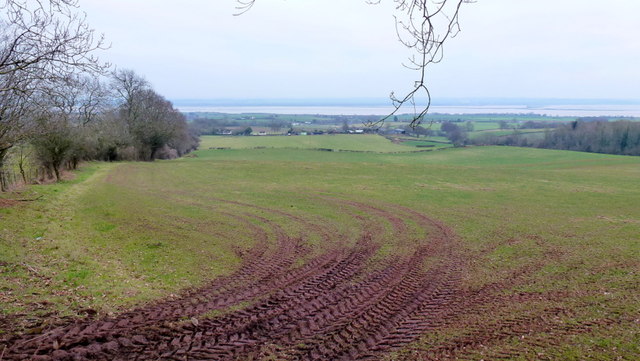
Burnt Plantation is a woodland area located in the county of Gloucestershire, England. Situated within the larger Forest of Dean, it covers an area of approximately 100 acres. The plantation gets its name from a historical event in which a fire ravaged the area many years ago, leaving behind charred remains and a distinct landscape.

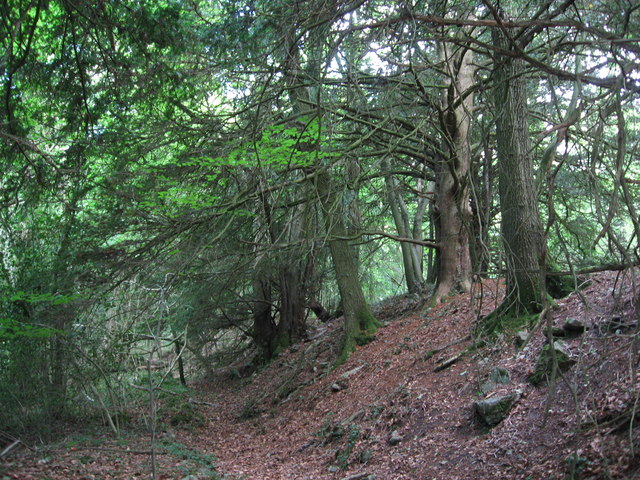
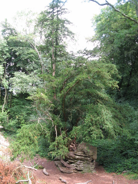
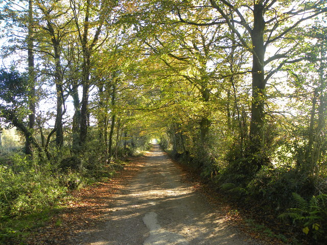
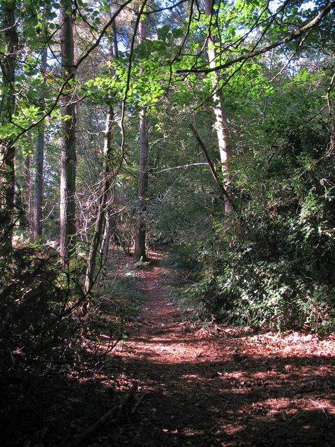
The woodland is predominantly made up of deciduous trees, with species such as oak, beech, and birch being common. The dense vegetation provides a habitat for a variety of wildlife, including deer, foxes, badgers, and numerous bird species. The forest floor is adorned with a carpet of wildflowers during the spring and summer months.

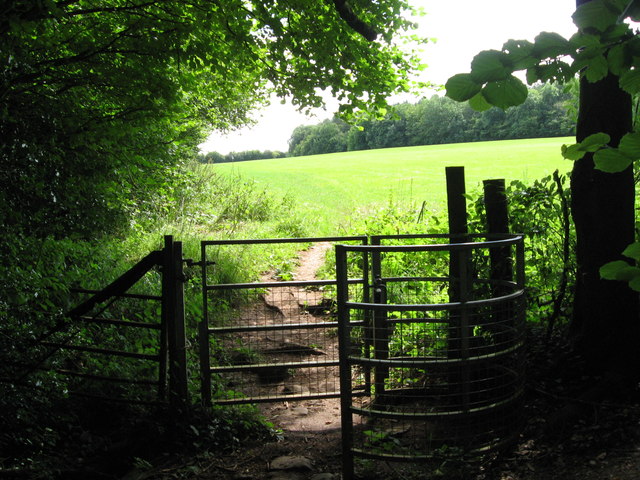
Burnt Plantation is a popular destination for nature lovers, hikers, and birdwatchers. It offers several well-maintained walking trails that wind through the woodland, allowing visitors to explore the diverse ecosystem and take in the natural beauty. The peaceful and serene environment makes it an ideal spot for those seeking tranquility and a break from the hustle and bustle of everyday life.

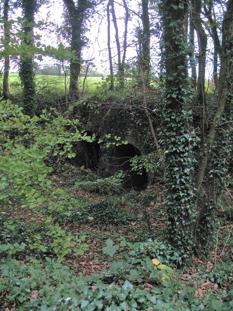
In addition to its natural attractions, Burnt Plantation boasts a rich historical significance. It has been a part of the Forest of Dean for centuries and has witnessed the ebb and flow of human activity throughout its existence. The area has remnants of old mining operations, evidence of its past industrial use.

Overall, Burnt Plantation in Gloucestershire is a captivating woodland area that offers both natural beauty and historical interest to its visitors.

If you have any feedback on the listing, please let us know in the comments section below.

Burnt Plantation Images

Images are sourced within 2km of 51.694847/-2.6343742 or Grid Reference ST5699. Thanks to Geograph Open Source API. All images are credited.

Gateway to Tintern Quarry
Beside Offa's Dyke
Beside Offa's Dyke
Yew tree growing from rocky outcrop Near the Devil's Pulpit on Offa's Dyke.
Yew tree growing from rocky outcrop
Near the Devil's Pulpit on Offa's Dyke.
Kissing Gate near the Devil's Pulpit
On Offa's Dyke
On Offa's Dyke
Flush Bracket on Trig Pillar
Trig Pillar Tidenham Park
Animal Pound Tidenham  Park
Animal Pound Tidenham Park
Miss Graces Lane This lane borders "The Park", an area of woodland and heathland.
Miss Graces Lane
This lane borders "The Park", an area of woodland and heathland.
Another Kissing Gate The stiles on the path from Tidenham Chase to the "Devil's Pulpit" have been replaced with kissing gates.
Another Kissing Gate
The stiles on the path from Tidenham Chase to the "Devil's Pulpit" have been replaced with kissing gates.
Path through Parson's Allotment Public footpath passing through mixed woodland.
Path through Parson's Allotment
Public footpath passing through mixed woodland.
The Devil's Pulpit Limestone stack on the edge of the escarpment above the Wye. Tintern Abbey is visible in the distance.
The Devil's Pulpit
Limestone stack on the edge of the escarpment above the Wye. Tintern Abbey is visible in the distance.
Offa's Dyke Path The path follows the wooded scarp edge north of the Devil's Pulpit.
Offa's Dyke Path
The path follows the wooded scarp edge north of the Devil's Pulpit.
Old lime kilns at Ash Grove Former lime kilns at the edge of a shallow quarry next to Miss Grace's Lane.
Old lime kilns at Ash Grove
Former lime kilns at the edge of a shallow quarry next to Miss Grace's Lane.
Trig Point 217m Now largely surrounded by small trees and scrub, this OS trig point was probably erected when the view around was clear. The Severn estuary can be glimpsed in the distance.
Trig Point 217m
Now largely surrounded by small trees and scrub, this OS trig point was probably erected when the view around was clear. The Severn estuary can be glimpsed in the distance.
Rock and roots  Close to the Devils pulpit
Rock and roots
Close to the Devils pulpit
House at Park Hill View across pasture land with the backdrop of Burnt Plantation.
House at Park Hill
View across pasture land with the backdrop of Burnt Plantation.
Pastoral scene to the mighty Severn View from Park Hill Road over High Woolaston.
Pastoral scene to the mighty Severn
View from Park Hill Road over High Woolaston.
Show me another place!

Burnt Plantation is located at Grid Ref: ST5699 (Lat: 51.694847, Lng: -2.6343742)

Administrative County: Gloucestershire

District: Forest of Dean

Police Authority: Gloucestershire

What 3 Words

///locate.housework.fond. Near Tintern, Monmouthshire

Related Wikis

East Wood, Tidenham

East Wood (grid reference SO561001) (west site) and (grid reference SO563001) (east site) is a 0.82-hectare (2.0-acre) nature reserve in Gloucestershire...

Poor's Allotment

Poor's Allotment (grid reference ST560990) is a 28.57-hectare (70.6-acre) biological Site of Special Scientific Interest in Gloucestershire, notified in...

Miss Grace's Lane

Miss Grace's Lane (also known as Miss Grace's Lane Swallett), near Tidenham in the Forest of Dean, Gloucestershire, England, is a natural cave system,...

Ridley Bottom, Tidenham

Ridley Bottom (grid reference ST563985) is a 1.1-hectare (2.7-acre) nature reserve in Gloucestershire. The site is listed in the 'Forest of Dean Local...

Nearby Amenities

Located within 500m of 51.694847,-2.6343742
Bus Stop
Park Hill Ln
Bench: yes
Naptan AtcoCode: 1600GLF751
Naptan Bearing: S
Naptan CommonName: Park Hill Ln
Naptan NaptanCode: gloadjmt
Naptan Street: B4228
Naptan Verified: no
Shelter: yes
Source: naptan_import
Lat/Long: 51.694893/-2.63894
Bus Stop
Park Hill Ln
Naptan AtcoCode: 1600GLF752
Naptan Bearing: N
Naptan CommonName: Park Hill Ln
Naptan Indicator: Opp
Naptan NaptanCode: gloadjmp
Naptan Street: B4228
Naptan Verified: no
Source: naptan_import
Lat/Long: 51.6950986/-2.6391455
Barrier: stile
Lat/Long: 51.6930161/-2.6377439
Addr Housename: Madgett Cottages
Lat/Long: 51.6973044/-2.6402684
Give Way
Direction: backward
Lat/Long: 51.6950851/-2.6389953
The data included in this document is from www.openstreetmap.org. The data is made available under ODbL.

Have you been to Burnt Plantation?

Leave your review of Burnt Plantation below (or comments, questions and feedback).