Park Hill

Settlement in Gloucestershire Forest of Dean

England

Park Hill

Parish of Tidenham name sign, Gloucestershire Alongside the B4228. The civil parish of Tidenham is in the Forest of Dean in west Gloucestershire.
Parish of Tidenham name sign, Gloucestershire Credit: Jaggery

Park Hill is a small village located in the county of Gloucestershire, England. Situated in the picturesque Cotswold Hills, it is nestled amongst rolling green countryside and offers stunning views of the surrounding area. The village is part of the Stroud district and is approximately 4 miles north of the town of Stroud.

Known for its natural beauty and tranquility, Park Hill attracts visitors who are seeking a peaceful retreat away from the hustle and bustle of city life. The village is characterized by its charming stone cottages and traditional architecture, giving it a quintessentially English feel. The local community is tight-knit and friendly, with a small but vibrant population.

Although Park Hill is a relatively small village, it is well-connected to nearby towns and cities. The M5 motorway is easily accessible, providing convenient links to Bristol and Birmingham. The nearest railway station is in Stroud, offering regular services to London and other major cities.

Nature lovers will find plenty to explore in the area surrounding Park Hill. The Cotswold Way, a popular long-distance footpath, passes nearby, offering opportunities for scenic walks and hikes. The village is also close to several beautiful country parks and nature reserves, providing ample opportunities for outdoor activities such as birdwatching and picnicking.

In terms of amenities, Park Hill has a village hall that serves as a hub for community events and activities. However, for more extensive amenities, residents typically rely on the nearby town of Stroud, which offers a wider range of shops, supermarkets, and leisure facilities.

Overall, Park Hill is a tranquil and picturesque village that offers a peaceful retreat in the heart of the Cotswolds.

If you have any feedback on the listing, please let us know in the comments section below.
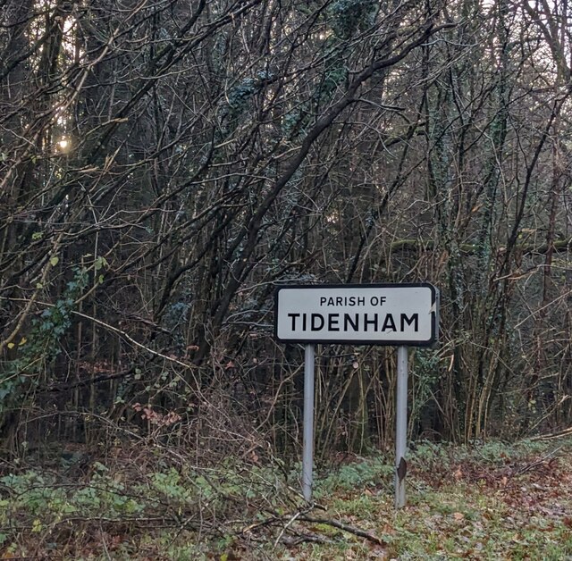
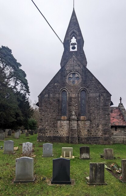
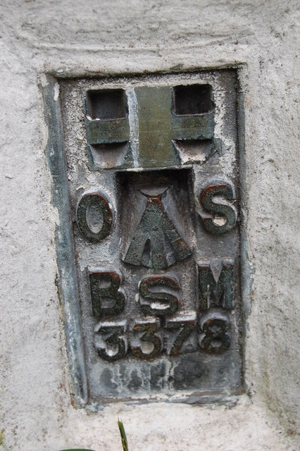
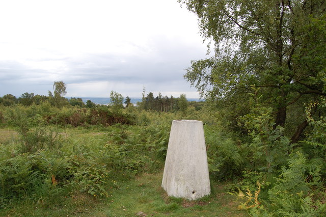
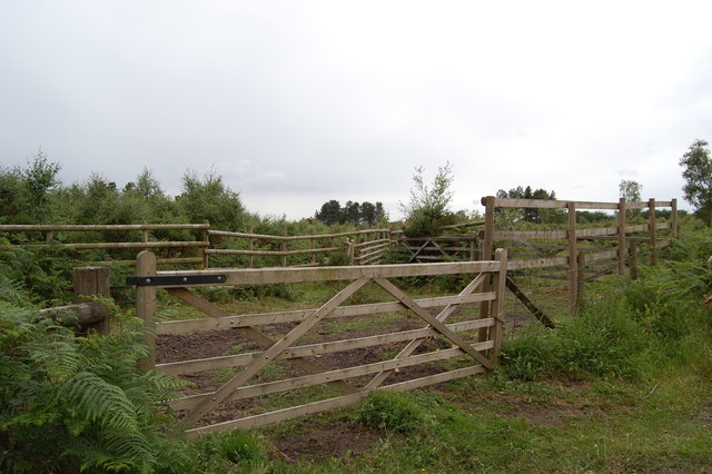
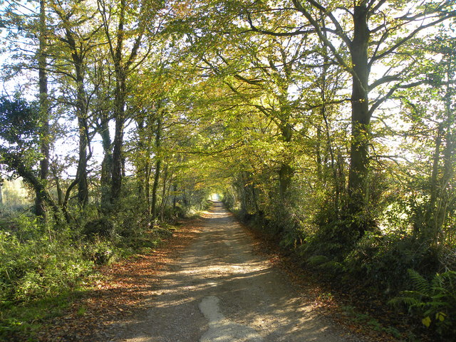
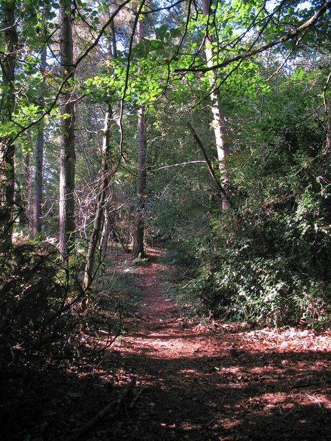
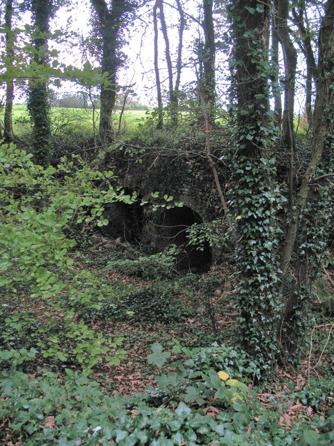
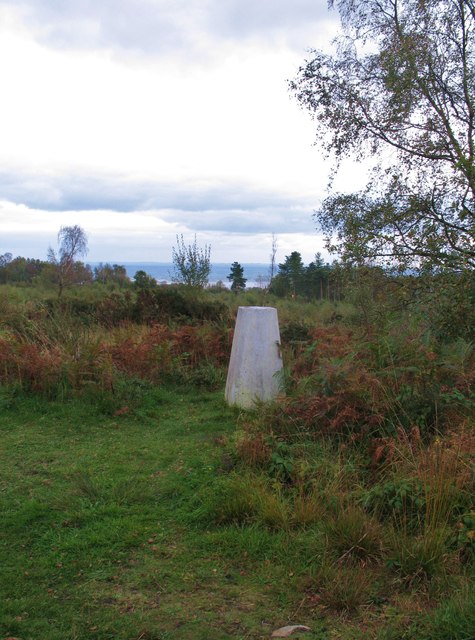
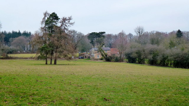
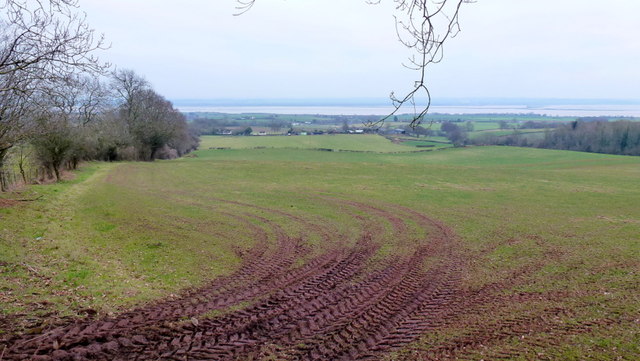
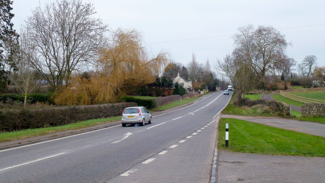
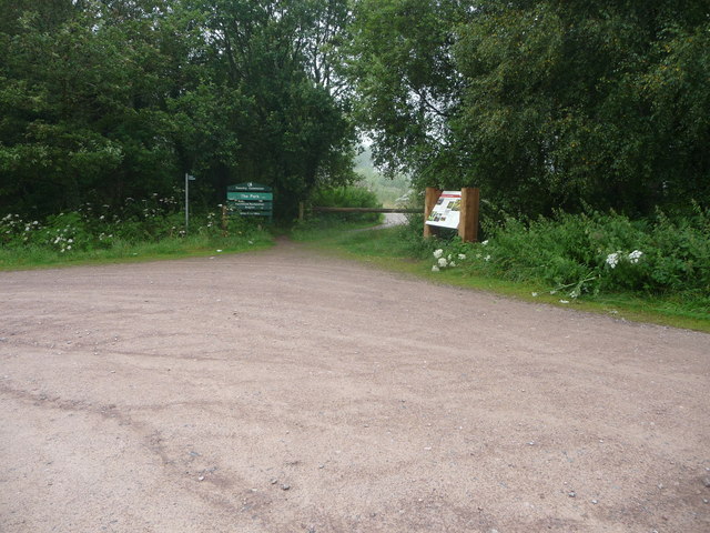
Park Hill Images

Images are sourced within 2km of 51.692811/-2.62526 or Grid Reference ST5699. Thanks to Geograph Open Source API. All images are credited.

Parish of Tidenham name sign, Gloucestershire Alongside the B4228. The civil parish of Tidenham is in the Forest of Dean in west Gloucestershire.
Parish of Tidenham name sign, Gloucestershire
Alongside the B4228. The civil parish of Tidenham is in the Forest of Dean in west Gloucestershire.
SE along Park Hill Lane, Tidenham, Gloucestershire From the B4228. A nearby direction sign <a title="https://www.geograph.org.uk/photo/7670329" href="https://www.geograph.org.uk/photo/7670329">Link</a> pointing this way shows The Woolastons 1½
SE along Park Hill Lane, Tidenham, Gloucestershire
From the B4228. A nearby direction sign Link pointing this way shows The Woolastons 1½
The Woolastons direction and distance sign, Tidenham, Gloucestershire The black arrow on the sign facing the B4228 points along Park Hill Lane. <a title="https://www.geograph.org.uk/photo/7670327" href="https://www.geograph.org.uk/photo/7670327">Link</a>
The Woolastons direction and distance sign, Tidenham, Gloucestershire
The black arrow on the sign facing the B4228 points along Park Hill Lane. Link
West side of the church, Tidenham Chase, Gloucestershire Looking towards the bell tower of St Michael & All Angels 
Church in the Church of England Diocese of Gloucester.
West side of the church, Tidenham Chase, Gloucestershire
Looking towards the bell tower of St Michael & All Angels Church in the Church of England Diocese of Gloucester.
Clay-Jones headstone, Tidenham Chase, Gloucestershire The distinctive headstone in St Michael & All Angels churchyard is dedicated
to the memory of Beloved Gardener D.B.Clay-Jones O.B.E. (1923 - 1996)
and Glenys (1925 - 2019), Loving Wife and Mother.
Clay-Jones headstone, Tidenham Chase, Gloucestershire
The distinctive headstone in St Michael & All Angels churchyard is dedicated to the memory of Beloved Gardener D.B.Clay-Jones O.B.E. (1923 - 1996) and Glenys (1925 - 2019), Loving Wife and Mother.
Headstones and church, Tidenham Chase, Gloucestershire Looking towards St Michael & All Angels Church 
in the Church of England Diocese of Gloucester.
Headstones and church, Tidenham Chase, Gloucestershire
Looking towards St Michael & All Angels Church in the Church of England Diocese of Gloucester.
Churchyard yew, Tidenham Chase, Gloucestershire Evergreen tree in St Michael & All Angels churchyard viewed in December 2023.
Churchyard yew, Tidenham Chase, Gloucestershire
Evergreen tree in St Michael & All Angels churchyard viewed in December 2023.
Flush Bracket on Trig Pillar
Trig Pillar Tidenham Park
Animal Pound Tidenham  Park
Animal Pound Tidenham Park
Miss Graces Lane This lane borders "The Park", an area of woodland and heathland.
Miss Graces Lane
This lane borders "The Park", an area of woodland and heathland.
Path through Parson's Allotment Public footpath passing through mixed woodland.
Path through Parson's Allotment
Public footpath passing through mixed woodland.
Old lime kilns at Ash Grove Former lime kilns at the edge of a shallow quarry next to Miss Grace's Lane.
Old lime kilns at Ash Grove
Former lime kilns at the edge of a shallow quarry next to Miss Grace's Lane.
Trig Point 217m Now largely surrounded by small trees and scrub, this OS trig point was probably erected when the view around was clear. The Severn estuary can be glimpsed in the distance.
Trig Point 217m
Now largely surrounded by small trees and scrub, this OS trig point was probably erected when the view around was clear. The Severn estuary can be glimpsed in the distance.
House at Park Hill View across pasture land with the backdrop of Burnt Plantation.
House at Park Hill
View across pasture land with the backdrop of Burnt Plantation.
Pastoral scene to the mighty Severn View from Park Hill Road over High Woolaston.
Pastoral scene to the mighty Severn
View from Park Hill Road over High Woolaston.
A48 at Stroat Looking north-east towards Lydney and Gloucester.
A48 at Stroat
Looking north-east towards Lydney and Gloucester.
Part of the Forestry Commission car park at The Park near Tidenham Chase Information boards and waymarked paths abound. Nice starting point for several walks locally.
Part of the Forestry Commission car park at The Park near Tidenham Chase
Information boards and waymarked paths abound. Nice starting point for several walks locally.
Show me another place!

Park Hill is located at Grid Ref: ST5699 (Lat: 51.692811, Lng: -2.62526)

Administrative County: Gloucestershire

District: Forest of Dean

Police Authority: Gloucestershire

What 3 Words

///ranch.fatter.celebrate. Near Tintern, Monmouthshire

Related Wikis

Poor's Allotment

Poor's Allotment (grid reference ST560990) is a 28.57-hectare (70.6-acre) biological Site of Special Scientific Interest in Gloucestershire, notified in...

East Wood, Tidenham

East Wood (grid reference SO561001) (west site) and (grid reference SO563001) (east site) is a 0.82-hectare (2.0-acre) nature reserve in Gloucestershire...

Ridley Bottom, Tidenham

Ridley Bottom (grid reference ST563985) is a 1.1-hectare (2.7-acre) nature reserve in Gloucestershire. The site is listed in the 'Forest of Dean Local...

Miss Grace's Lane

Miss Grace's Lane (also known as Miss Grace's Lane Swallett), near Tidenham in the Forest of Dean, Gloucestershire, England, is a natural cave system,...

Woolaston

Woolaston is a village and civil parish in the Forest of Dean district of Gloucestershire in South West England. It lies on the north side of the Severn...

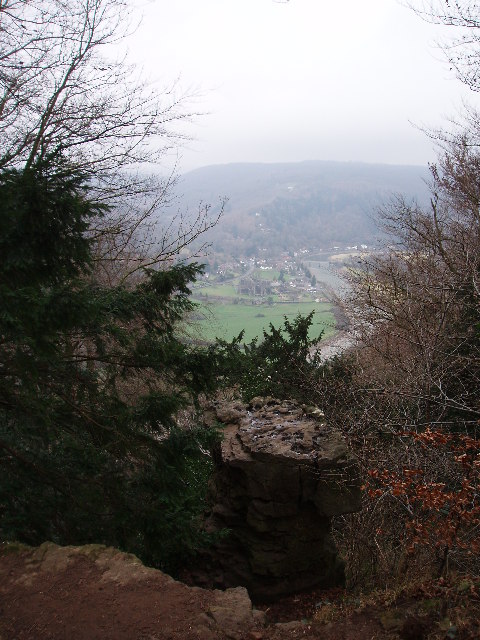
Devil's Pulpit, Gloucestershire

The Devil's Pulpit is a rocky limestone outcrop and scenic viewpoint in the Forest of Dean District of Gloucestershire, England, within the Wye Valley...

Hewelsfield Motte

The Hewelsfield Motte is a roughly circular mound, in Hewelsfield, Gloucestershire, England. It is thought to be a castle motte dating from the period...

Hewelsfield

Hewelsfield is a village in Hewelsfield and Brockweir civil parish, in the Forest of Dean district of Gloucestershire, England. The village is located...

Related Videos

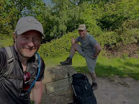
Offa's Dyke Day 1 Chepstow to Monmouth

May 31, 2021 with Peter O'Connor walking Chepstow to Monmouth Music: Illuminate You Musician: Weary Eyes URL: ...

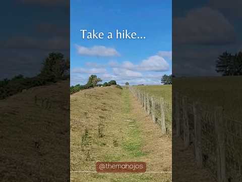
Devils pulpit’s | An Adventurers Place To Visit In Scotland. #travel #ukvloger

Did you know that not too far from Glasgow and Edinburgh in Scotland is a beautiful moss covered, 100ft deep gorge, through ...

Nearby Amenities

Located within 500m of 51.692811,-2.62526
Park Hill
Natural: peak
Source: NPE
Lat/Long: 51.6927832/-2.6253947
The data included in this document is from www.openstreetmap.org. The data is made available under ODbL.

Have you been to Park Hill?

Leave your review of Park Hill below (or comments, questions and feedback).