Easthope Wood
Wood, Forest in Shropshire
England
Easthope Wood
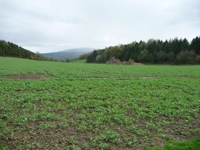
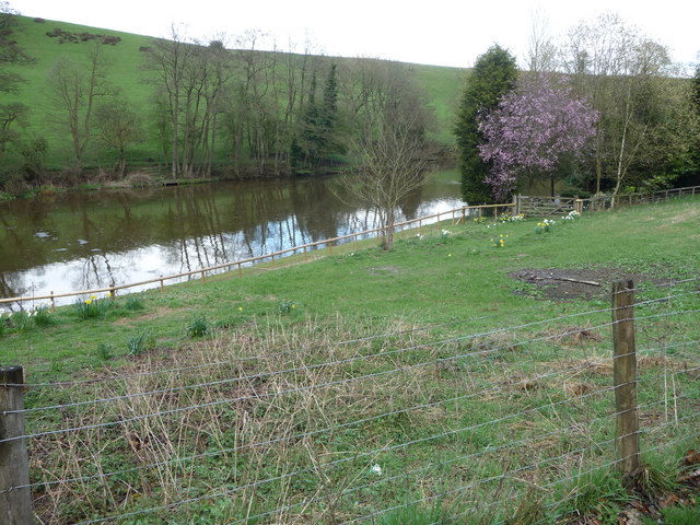
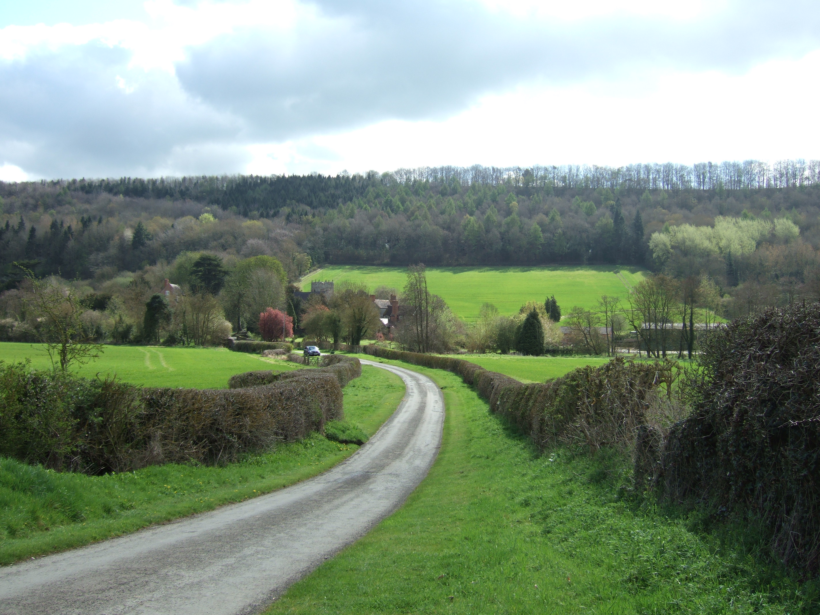
Easthope Wood is a picturesque forest located in the county of Shropshire, England. It covers an area of approximately 90 acres and is nestled in the rolling hills of the region. The wood is predominantly composed of native broadleaf trees, including oak, ash, beech, and birch, creating a diverse and vibrant ecosystem.
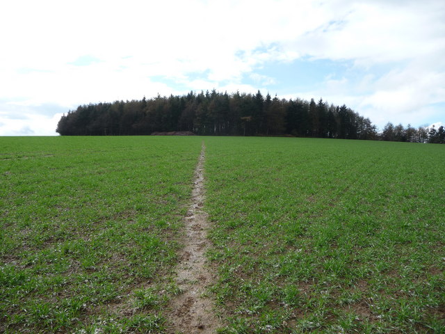
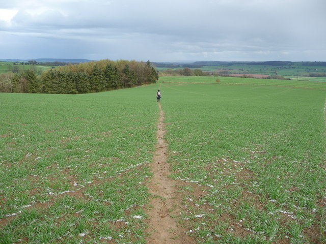
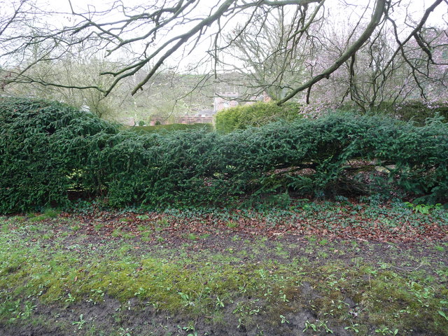
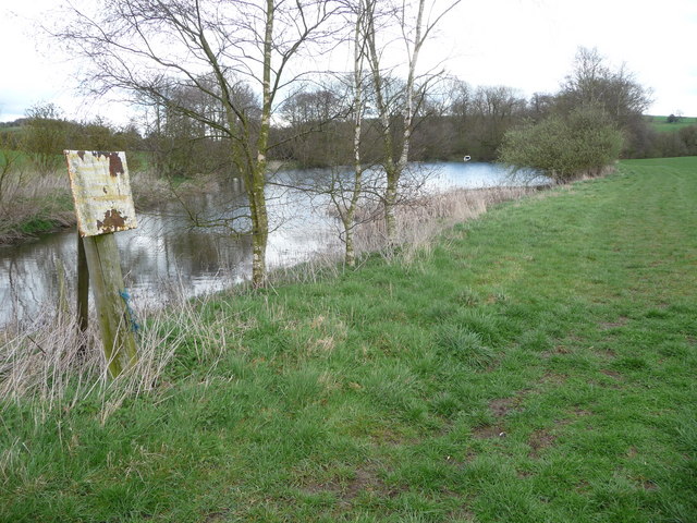
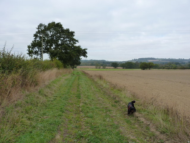
The woodland is known for its tranquil atmosphere and scenic beauty, attracting nature enthusiasts and walkers alike. A network of well-maintained footpaths crisscrosses the wood, offering visitors the opportunity to explore its various sections. These paths wind through dense undergrowth, alongside babbling brooks, and up gentle slopes, providing a delightful experience for outdoor enthusiasts.
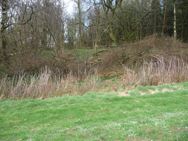
Easthope Wood is not only an idyllic location for leisurely strolls but also a haven for wildlife. It serves as a home to a multitude of bird species, including woodpeckers, song thrushes, and owls, making it a popular destination for birdwatching enthusiasts. The forest floor is also teeming with life, with small mammals such as squirrels, foxes, and badgers frequently spotted in the area.
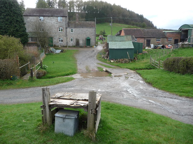
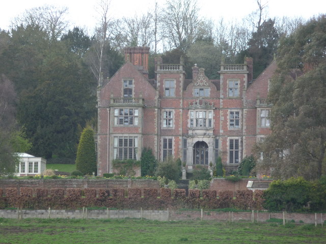
The wood has a rich historical significance, with evidence of human activity dating back centuries. The remnants of ancient boundaries, earthworks, and abandoned quarries can still be found within the wood, offering a glimpse into the area's past.
Overall, Easthope Wood is a treasured natural gem in Shropshire. Its scenic beauty, diverse flora and fauna, and historical significance make it a must-visit destination for those seeking a peaceful and enriching experience in nature.
If you have any feedback on the listing, please let us know in the comments section below.
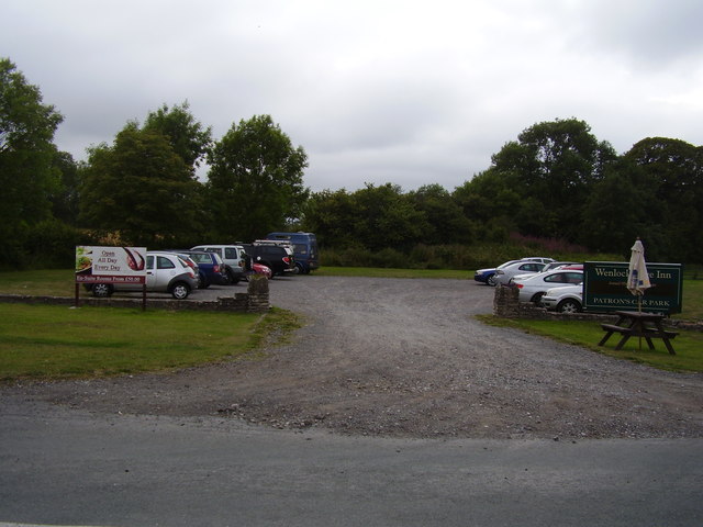
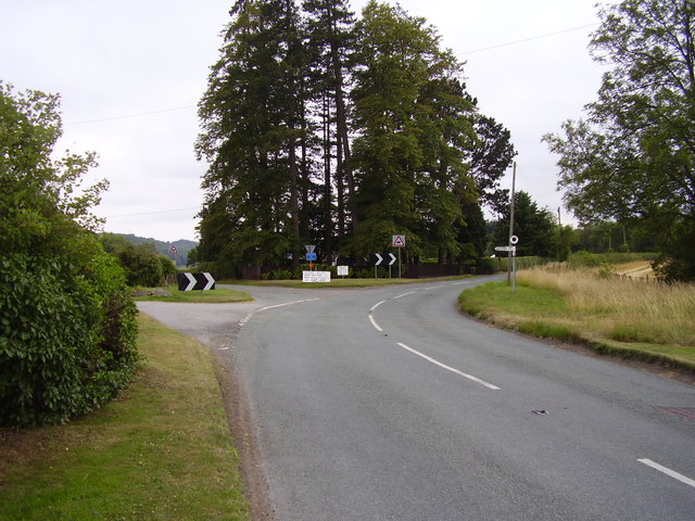
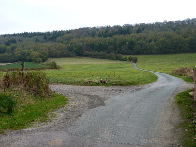
Easthope Wood Images
Images are sourced within 2km of 52.558164/-2.645918 or Grid Reference SO5695. Thanks to Geograph Open Source API. All images are credited.


Easthope Wood is located at Grid Ref: SO5695 (Lat: 52.558164, Lng: -2.645918)
Unitary Authority: Shropshire
Police Authority: West Mercia
What 3 Words
///overlaid.outlined.economics. Near Kenley, Shropshire
Nearby Locations
Related Wikis

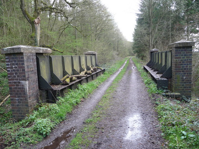
Easthope Halt railway station
Easthope Halt railway station was a station in Easthope Wood on Wenlock Edge, Easthope, Shropshire, England. The station was opened in 1936 and closed...

Easthope
Easthope is a small village and small civil parish in Shropshire, England. Wenlock Edge passes through the parish, to the northwest of the village, along...
Wenlock Edge
Wenlock Edge is a limestone escarpment near Much Wenlock, Shropshire, England and a site of special scientific interest because of its geology. It is over...

Hughley, Shropshire
Hughley (grid reference SO565979) is a village and civil parish in Shropshire, England, about 5 miles (8 km) south-west of Much Wenlock. It lies in the...
Patton (hundred)
Patton was a hundred of Shropshire, England. Formed during Anglo-Saxon England, it encompassed manors in eastern central Shropshire, and was amalgamated...

Patton, Shropshire
Patton is a hamlet in Shropshire, England. It is located in the civil parish of Stanton Long on the B4378 road between Bourton and Brockton. It lies on...

Longville railway station
Longville railway station was a station in Longville in the Dale, Shropshire, England. The station was opened in 1867 and closed in 1951. The station is...
Presthope railway station
Presthope railway station was a station to the east of Hughley, Shropshire, England. The station was opened in 1867 and closed in 1951. == References... ==
Nearby Amenities
Located within 500m of 52.558164,-2.645918Have you been to Easthope Wood?
Leave your review of Easthope Wood below (or comments, questions and feedback).