South Slack Wood

Wood, Forest in Cumberland Eden

England

South Slack Wood

Fetherston Arms, Kirkoswald One of two excellent pubs in this attractive Cumbrian village.
Fetherston Arms, Kirkoswald Credit: Gordon Hatton

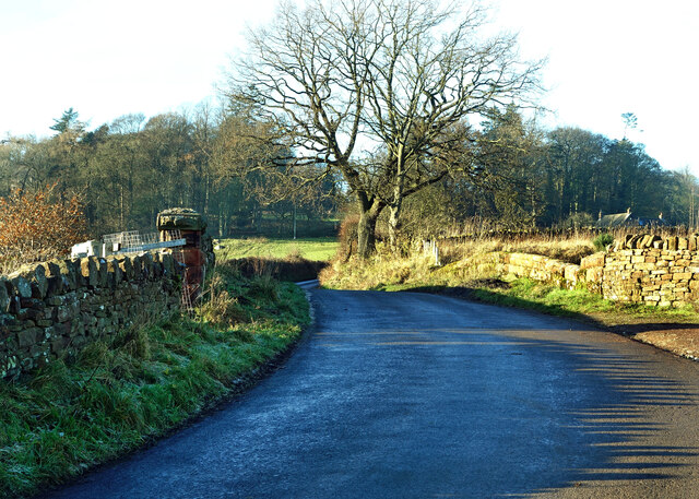
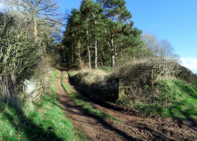
South Slack Wood is a picturesque woodland located in the county of Cumberland, England. Situated in the southern part of the county, it covers an area of approximately 200 acres. The woodland is characterized by its dense canopy of tall trees, including oak, beech, and birch, creating a serene and enchanting atmosphere.

This ancient forest has a long history, dating back centuries. It has been carefully maintained and managed by local authorities to preserve its natural beauty and biodiversity. The wood is home to a diverse range of plant and animal species, making it an important ecological site. Visitors to South Slack Wood can expect to encounter a variety of wildlife, including deer, squirrels, and a plethora of bird species.

The woodland offers a range of walking trails, allowing visitors to explore its scenic beauty at their own pace. These trails wind through the forest, offering stunning views of the surrounding countryside and providing a peaceful escape from the hustle and bustle of everyday life. Notable features within the wood include a small stream that meanders through the trees, adding to its charm and tranquility.

South Slack Wood is a popular destination for nature enthusiasts, walkers, and photographers looking to capture the beauty of England's countryside. Whether it's a leisurely stroll, birdwatching, or simply immersing oneself in nature, this woodland offers a serene and rejuvenating experience for all who visit.

If you have any feedback on the listing, please let us know in the comments section below.

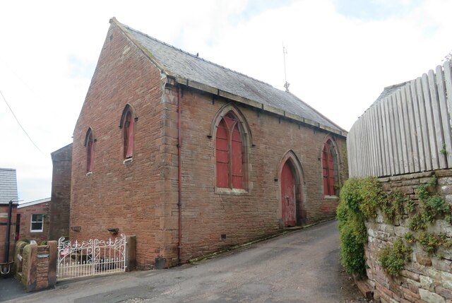
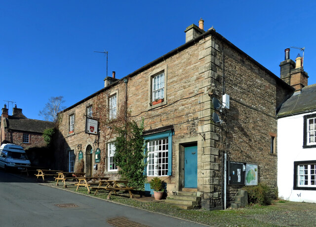
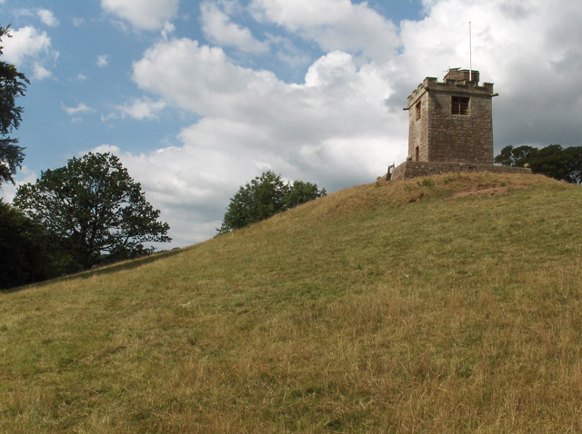
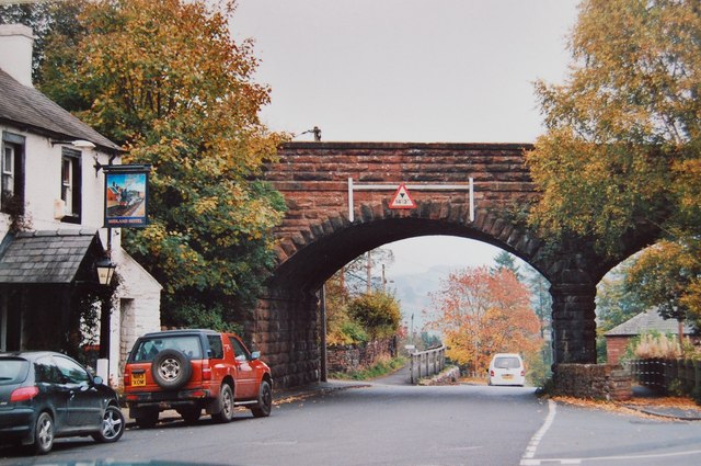
South Slack Wood Images

Images are sourced within 2km of 54.755436/-2.680423 or Grid Reference NY5640. Thanks to Geograph Open Source API. All images are credited.

Fetherston Arms, Kirkoswald One of two excellent pubs in this attractive Cumbrian village.
Fetherston Arms, Kirkoswald
One of two excellent pubs in this attractive Cumbrian village.
Disused chapel in Kirkoswald Old OS maps show this as a Congregational chapel, but it appears not to have been used for worship for many years.
Disused chapel in Kirkoswald
Old OS maps show this as a Congregational chapel, but it appears not to have been used for worship for many years.
Main Street, Kirkoswald The main street drops down a hill towards Raven Beck. The two excellent village pubs are visible here, with the Fetherston Arms to the left and the Crown Inn to the right.
Main Street, Kirkoswald
The main street drops down a hill towards Raven Beck. The two excellent village pubs are visible here, with the Fetherston Arms to the left and the Crown Inn to the right.
St Oswald's bell tower How unusual to discover that the bell tower for St Oswald's church is sat on top of a hill well above the church. The tower dates from 1897, replacing a wooden structure of 1747.
St Oswald's bell tower
How unusual to discover that the bell tower for St Oswald's church is sat on top of a hill well above the church. The tower dates from 1897, replacing a wooden structure of 1747.
Church of St Oswald at Kirkoswald The church is outside the village tucked beneath a hillside and at the edge of the Eden flood plain - a rather odd location. The building is of different ages with some parts as early as the 12th century, whilst much of the fabric is 15th century.
Church of St Oswald at Kirkoswald
The church is outside the village tucked beneath a hillside and at the edge of the Eden flood plain - a rather odd location. The building is of different ages with some parts as early as the 12th century, whilst much of the fabric is 15th century.
Crossing the Settle-Carlisle line This is where Fiddler’s Lane crosses the line. A winter view taken on a mid-December afternoon.
Crossing the Settle-Carlisle line
This is where Fiddler’s Lane crosses the line. A winter view taken on a mid-December afternoon.
Lazonby farmland view Looking into the Eden Valley from Fiddler’s Lane. These fields are being used for winter livestock feeding.
Lazonby farmland view
Looking into the Eden Valley from Fiddler’s Lane. These fields are being used for winter livestock feeding.
Eden Bridge A closer look at this lovely old sandstone bridge near Lazonby, viewed from the adjoining square in winter afternoon sunshine.
Eden Bridge
A closer look at this lovely old sandstone bridge near Lazonby, viewed from the adjoining square in winter afternoon sunshine.
Towards Dead Man’s Slack There’s no public access along this muddy woodland track near Dead Man’s Slack.
Towards Dead Man’s Slack
There’s no public access along this muddy woodland track near Dead Man’s Slack.
Heading for Kirkoswald A mid-March view of farmland in the Eden Valley.
Heading for Kirkoswald
A mid-March view of farmland in the Eden Valley.
Kirkoswald Castle All that’s left is a single ruined tower and some earthworks around the site. On this mid-March visit, it was possible to get a glimpse of the building before the foliage opened out on the trees.
Kirkoswald Castle
All that’s left is a single ruined tower and some earthworks around the site. On this mid-March visit, it was possible to get a glimpse of the building before the foliage opened out on the trees.
Footpath near Kirkoswald Castle The path connects Kirkoswald with Glassonby.
Footpath near Kirkoswald Castle
The path connects Kirkoswald with Glassonby.
The Fetherston Arms An attractive pub in the middle of Kirkoswald village.
The Fetherston Arms
An attractive pub in the middle of Kirkoswald village.
Kirkoswald war memorial Located in the middle of Kirkoswald village.
Kirkoswald war memorial
Located in the middle of Kirkoswald village.
Bell Tower of Church of St Oswald Separate to the church
Bell Tower of Church of St Oswald
Separate to the church
Fiddler's Lane and Railway Bridge, Lazonby Looking north-westward.
Fiddler's Lane and Railway Bridge, Lazonby
Looking north-westward.
Refuse bins in the car park by the River Eden
The Raven Beck at Kirkoswald The OS 10,000 mapping marks "Sparrows" in black type on this stretch of water.  The name of the house to the right?  The name of the cliff to the left?
The Raven Beck at Kirkoswald
The OS 10,000 mapping marks "Sparrows" in black type on this stretch of water. The name of the house to the right? The name of the cliff to the left?
Show me another place!

South Slack Wood is located at Grid Ref: NY5640 (Lat: 54.755436, Lng: -2.680423)

Administrative County: Cumbria

District: Eden

Police Authority: Cumbria

What 3 Words

///casual.powering.perch. Near Penrith, Cumbria

Related Wikis

Kirkoswald Castle

Kirkoswald Castle is located to the southeast of the village of Kirkoswald, Cumbria, England. It is built from Penrith red sandstone and is still partially...

Kirkoswald, Cumbria

Kirkoswald is a village, civil parish, and former market town located in Westmorland and Furness, England, about 9 miles (14 km) from Penrith. The village...

Lazonby & Kirkoswald railway station

Lazonby & Kirkoswald is a railway station on the Settle and Carlisle Line, which runs between Carlisle and Leeds via Settle. The station, which is situated...

Lazonby

Lazonby is a village and civil parish in the Lower Eden Valley of Cumbria; it is located about 8 miles (13 km) north-north-east of Penrith and 24 miles...

Nearby Amenities

Located within 500m of 54.755436,-2.680423
Mains Farm
Caravans: yes
Fee: yes
Shower: yes
Tents: yes
Toilets: yes
Tourism: camp_site
Website: https://www.edenvalleycaravansite.co.uk/
Lat/Long: 54.7519442/-2.6828012
Tailor Hill
Natural: peak
Lat/Long: 54.7586251/-2.6784079
Power: pole
Lat/Long: 54.7532954/-2.6866803
Power: pole
Lat/Long: 54.7530771/-2.6849577
Power: pole
Lat/Long: 54.7524352/-2.6840926
The data included in this document is from www.openstreetmap.org. The data is made available under ODbL.

Have you been to South Slack Wood?

Leave your review of South Slack Wood below (or comments, questions and feedback).