Castle Hills

Wood, Forest in Cumberland Eden

England

Castle Hills

Eden Bridge from east bank of River Eden The bridge carries the B6413 over the River Eden
Eden Bridge from east bank of River Eden Credit: Luke Shaw

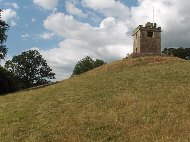
Castle Hills, Cumberland (Wood, Forest) is a picturesque castle located in the heart of the Cumberland region in England. Situated amidst lush greenery and surrounded by a dense forest, this castle stands as a testament to the rich history and architectural splendor of the area.

The castle, with its towering stone walls and majestic turrets, dates back to the 12th century and has served as a residence for various noble families throughout its existence. It is believed to have been originally built as a defensive stronghold, strategically positioned on a hilltop to provide excellent vantage points of the surrounding countryside.

The castle boasts a variety of architectural styles, reflecting the different periods of its construction and renovations over the centuries. From the medieval Norman keep to the Gothic-style chapel and the elegant Renaissance gardens, each section of the castle offers a unique glimpse into the past.

Visitors to Castle Hills can explore the well-preserved interior, which showcases opulent living quarters, grand halls, and a collection of antique furniture and artwork. The castle also houses a museum, where artifacts and historical documents shed light on the castle's past and the lives of its former inhabitants.

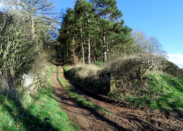
Surrounding the castle is a sprawling forest, known for its diverse flora and fauna. The forest provides ample opportunities for nature enthusiasts to enjoy hiking, birdwatching, and discovering hidden trails. There are also well-maintained gardens, where visitors can relax and appreciate the beauty of the surrounding landscape.

Castle Hills, Cumberland (Wood, Forest) is not only a significant historical landmark but also a haven for nature lovers, offering a delightful blend of architectural grandeur and natural beauty.

If you have any feedback on the listing, please let us know in the comments section below.
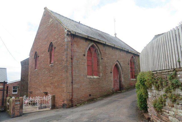
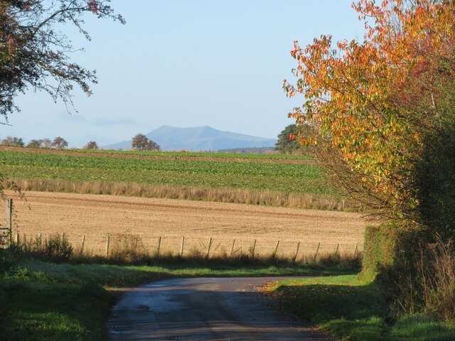
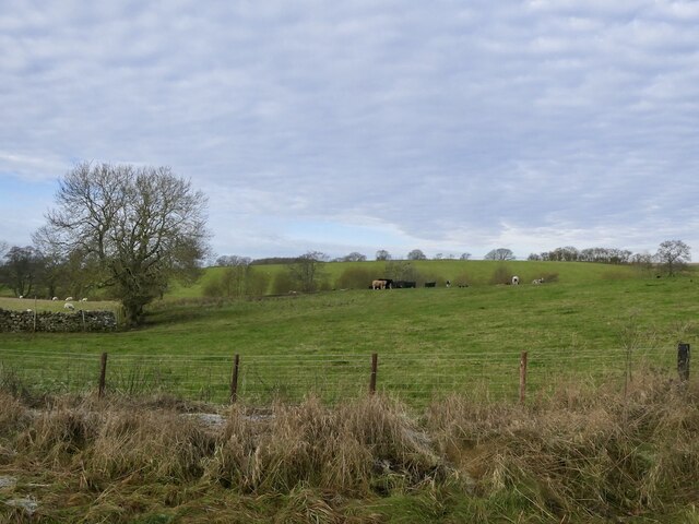
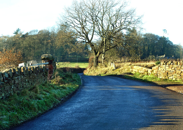
Castle Hills Images

Images are sourced within 2km of 54.760651/-2.6798734 or Grid Reference NY5640. Thanks to Geograph Open Source API. All images are credited.

Eden Bridge from east bank of River Eden The bridge carries the B6413 over the River Eden
Eden Bridge from east bank of River Eden
The bridge carries the B6413 over the River Eden
Fetherston Arms, Kirkoswald One of two excellent pubs in this attractive Cumbrian village.
Fetherston Arms, Kirkoswald
One of two excellent pubs in this attractive Cumbrian village.
Disused chapel in Kirkoswald Old OS maps show this as a Congregational chapel, but it appears not to have been used for worship for many years.
Disused chapel in Kirkoswald
Old OS maps show this as a Congregational chapel, but it appears not to have been used for worship for many years.
Main Street, Kirkoswald The main street drops down a hill towards Raven Beck. The two excellent village pubs are visible here, with the Fetherston Arms to the left and the Crown Inn to the right.
Main Street, Kirkoswald
The main street drops down a hill towards Raven Beck. The two excellent village pubs are visible here, with the Fetherston Arms to the left and the Crown Inn to the right.
Country lane at Howscales A sunny October morning with hedgerow trees turning colour. Beyond the crop fields one can see the distinctive outline of Blencathra in the distance.
Country lane at Howscales
A sunny October morning with hedgerow trees turning colour. Beyond the crop fields one can see the distinctive outline of Blencathra in the distance.
St Oswald's bell tower How unusual to discover that the bell tower for St Oswald's church is sat on top of a hill well above the church. The tower dates from 1897, replacing a wooden structure of 1747.
St Oswald's bell tower
How unusual to discover that the bell tower for St Oswald's church is sat on top of a hill well above the church. The tower dates from 1897, replacing a wooden structure of 1747.
Church of St Oswald at Kirkoswald The church is outside the village tucked beneath a hillside and at the edge of the Eden flood plain - a rather odd location. The building is of different ages with some parts as early as the 12th century, whilst much of the fabric is 15th century.
Church of St Oswald at Kirkoswald
The church is outside the village tucked beneath a hillside and at the edge of the Eden flood plain - a rather odd location. The building is of different ages with some parts as early as the 12th century, whilst much of the fabric is 15th century.
Grazing cattle, High Bankhill
Crossing the Settle-Carlisle line This is where Fiddler’s Lane crosses the line. A winter view taken on a mid-December afternoon.
Crossing the Settle-Carlisle line
This is where Fiddler’s Lane crosses the line. A winter view taken on a mid-December afternoon.
Lazonby farmland view Looking into the Eden Valley from Fiddler’s Lane. These fields are being used for winter livestock feeding.
Lazonby farmland view
Looking into the Eden Valley from Fiddler’s Lane. These fields are being used for winter livestock feeding.
Eden Bridge A closer look at this lovely old sandstone bridge near Lazonby, viewed from the adjoining square in winter afternoon sunshine.
Eden Bridge
A closer look at this lovely old sandstone bridge near Lazonby, viewed from the adjoining square in winter afternoon sunshine.
Towards Dead Man’s Slack There’s no public access along this muddy woodland track near Dead Man’s Slack.
Towards Dead Man’s Slack
There’s no public access along this muddy woodland track near Dead Man’s Slack.
Heading for Kirkoswald A mid-March view of farmland in the Eden Valley.
Heading for Kirkoswald
A mid-March view of farmland in the Eden Valley.
Kirkoswald Castle All that’s left is a single ruined tower and some earthworks around the site. On this mid-March visit, it was possible to get a glimpse of the building before the foliage opened out on the trees.
Kirkoswald Castle
All that’s left is a single ruined tower and some earthworks around the site. On this mid-March visit, it was possible to get a glimpse of the building before the foliage opened out on the trees.
Footpath near Kirkoswald Castle The path connects Kirkoswald with Glassonby.
Footpath near Kirkoswald Castle
The path connects Kirkoswald with Glassonby.
The Fetherston Arms An attractive pub in the middle of Kirkoswald village.
The Fetherston Arms
An attractive pub in the middle of Kirkoswald village.
Kirkoswald war memorial Located in the middle of Kirkoswald village.
Kirkoswald war memorial
Located in the middle of Kirkoswald village.
Bell Tower of Church of St Oswald Separate to the church
Bell Tower of Church of St Oswald
Separate to the church
Show me another place!

Castle Hills is located at Grid Ref: NY5640 (Lat: 54.760651, Lng: -2.6798734)

Administrative County: Cumbria

District: Eden

Police Authority: Cumbria

What 3 Words

///scrubber.producers.perfect. Near Penrith, Cumbria

Related Wikis

Kirkoswald Castle

Kirkoswald Castle is located to the southeast of the village of Kirkoswald, Cumbria, England. It is built from Penrith red sandstone and is still partially...
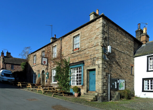
Kirkoswald, Cumbria

Kirkoswald is a village, civil parish, and former market town located in Westmorland and Furness, England, about 9 miles (14 km) from Penrith. The village...

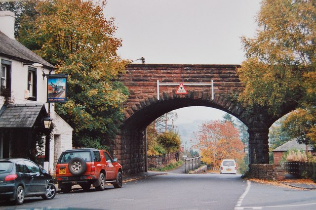
Lazonby & Kirkoswald railway station

Lazonby & Kirkoswald is a railway station on the Settle and Carlisle Line, which runs between Carlisle and Leeds via Settle. The station, which is situated...

Lazonby

Lazonby is a village and civil parish in the Lower Eden Valley of Cumbria; it is located about 8 miles (13 km) north-north-east of Penrith and 24 miles...

Lacy's Caves

Lacy's Caves are a series of five chambers in the red sandstone cliff of the River Eden, just north of Little Salkeld, Cumbria, England, near Nunnery,...

Staffield

Staffield is a hamlet and former civil parish 12 miles (19 km) from Carlisle, now in the parish of Kirkoswald, in the Eden district, in the county of Cumbria...

Long Meg Mine

Long Meg Mine is a disused gypsum mine just north of Little Salkeld, Cumbria in the area known as Cave Wood Valley. It was operated between 1880 and 1976...

Armathwaite Nunnery

Armathwaite Nunnery was a Benedictine nunnery in Cumbria, England. It was situated near the confluence of the rivers Croglin Water and Eden in the southern...

Related Videos

FAMILY CAMPING VLOG | SITE REVIEW | OUTDOOR POOL

The 6 weeks summer holidays have officially started our first camping trip is at Lazonby, penrith, cumbria. If you would like to book ...

Lake district Motorhome tour (Part 6) Penrith, river Eden walk

We spent one night at Mains farm at Kirkoswald and had a lovely walk along the river Eden into Lazonby.

Lets visit' Lazonby and Kirkoswald

hidden in the Northern British countryside are two villages next to each other.. Lets Visit' them.

Lacy's Cave Wild Camp

Hi everybody, on this trip we head out to a folly called Lacy's Caves situated on the banks of the River Eden in the North of ...

Nearby Amenities

Located within 500m of 54.760651,-2.6798734
Tailor Hill
Natural: peak
Lat/Long: 54.7586251/-2.6784079
Power: pole
Lat/Long: 54.7625486/-2.6859615
Power: pole
Lat/Long: 54.7628076/-2.6842616
Power: pole
Lat/Long: 54.763055/-2.6825667
Power: pole
Lat/Long: 54.7631263/-2.6806499
Power: pole
Lat/Long: 54.7631874/-2.6786524
Power: pole
Lat/Long: 54.7633256/-2.6769727
Power: pole
Lat/Long: 54.7639048/-2.6758932
The data included in this document is from www.openstreetmap.org. The data is made available under ODbL.

Have you been to Castle Hills?

Leave your review of Castle Hills below (or comments, questions and feedback).