Middle Wood
Wood, Forest in Lancashire Wyre
England
Middle Wood

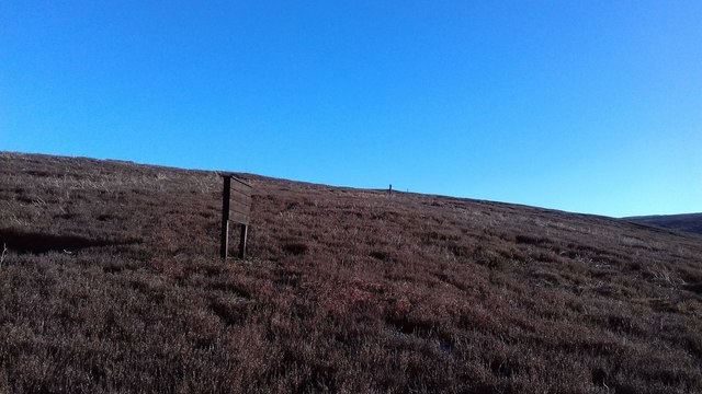
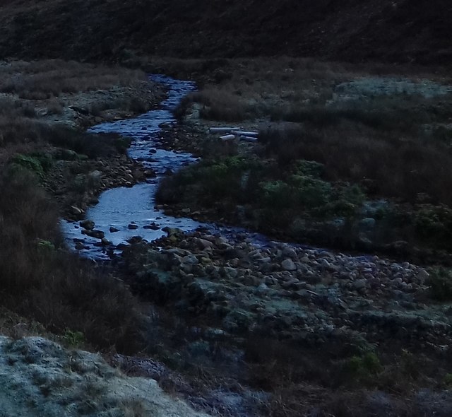
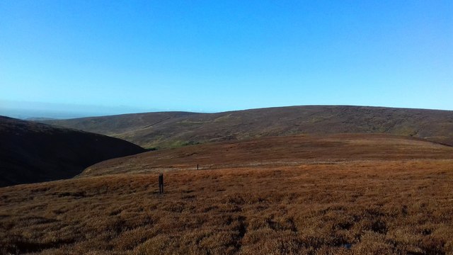
Middle Wood is a picturesque woodland located in the county of Lancashire, England. Situated in the heart of the county, this wood is part of the larger Forest of Bowland Area of Outstanding Natural Beauty. Covering an area of approximately 500 acres, Middle Wood is known for its diverse range of flora and fauna, making it a haven for wildlife enthusiasts and nature lovers.
The wood is primarily composed of broadleaf trees, including oak, birch, beech, and ash, which create a dense and enchanting canopy overhead. The forest floor is adorned with a carpet of bluebells, wild garlic, and other native wildflowers during the springtime, adding to the area's natural beauty.
Walking trails meander through the wood, offering visitors the opportunity to explore its hidden gems and discover its abundant wildlife. Birdwatchers can spot a variety of species, including woodpeckers, owls, and thrushes, while lucky visitors may even catch a glimpse of deer or foxes that call the wood their home.
Middle Wood is not only a place of natural beauty but also has historical significance. The wood has been mentioned in documents dating back to the medieval period, and evidence of charcoal burning and timber extraction can still be seen today.
With its tranquil atmosphere and breathtaking scenery, Middle Wood in Lancashire attracts visitors from near and far who seek solace in nature and appreciate the wonders of the English countryside.
If you have any feedback on the listing, please let us know in the comments section below.
Middle Wood Images
Images are sourced within 2km of 53.920996/-2.6661676 or Grid Reference SD5647. Thanks to Geograph Open Source API. All images are credited.


Middle Wood is located at Grid Ref: SD5647 (Lat: 53.920996, Lng: -2.6661676)
Administrative County: Lancashire
District: Wyre
Police Authority: Lancashire
What 3 Words
///cheaper.prowling.supposing. Near Garstang, Lancashire
Nearby Locations
Related Wikis

Bleasdale
Bleasdale is a village and civil parish in the Wyre district of Lancashire, England, in the Forest of Bowland Area of Outstanding Natural Beauty. The two...
Oakenclough
Oakenclough () is an English hamlet located on the edge of the Forest of Bowland in Lancashire. Oakenclough is a small and scattered community, which appears...
Calder Vale
Calder Vale is an English village, located on the edge of the Forest of Bowland in Lancashire. It lies on the River Calder in a deep valley with only...
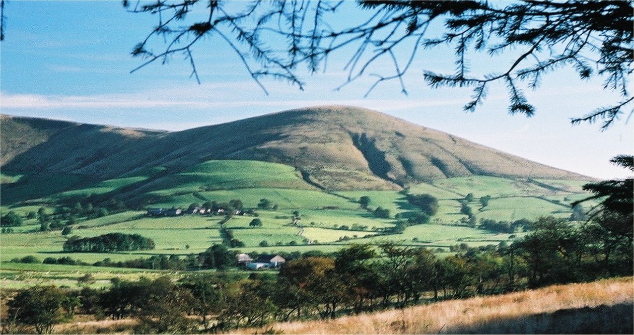
Parlick
Parlick (also known as Parlick Pike) is an approximately cone-shaped steep-sided hill at the extreme south of the main range of Bowland fells in Lancashire...

Barnacre-with-Bonds
Barnacre-with-Bonds is a civil parish in the Wyre district of Lancashire, England. According to the 2001 census it had a population of 1,751 increasing...
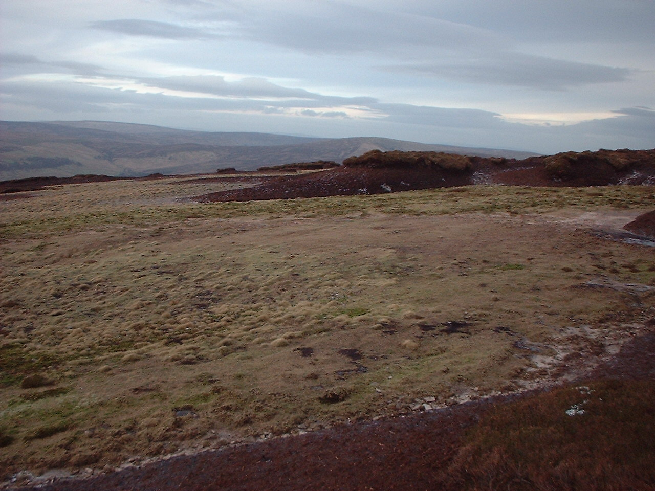
Hawthornthwaite Fell
Hawthornthwaite Fell is one of the larger hills in the Forest of Bowland in the north west of England. Hawthornthwaite Fell marks the extreme western limit...
Beacon Fell, Lancashire
Beacon Fell is a fell in the civil parish of Goosnargh in Lancashire, England. The high ground, which rises to 266 m (873 ft), has been a country park...
Bowland Forest Gliding Club
Bowland Forest Gliding Club is a British gliding club near the village of Chipping, Lancashire. It was formed as the Blackpool and Fylde Gliding Club in...
Nearby Amenities
Located within 500m of 53.920996,-2.6661676Have you been to Middle Wood?
Leave your review of Middle Wood below (or comments, questions and feedback).