Easthope
Settlement in Shropshire
England
Easthope
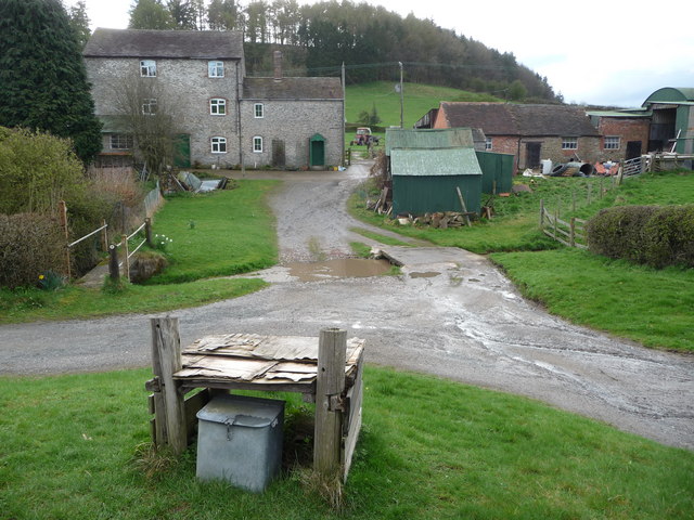
Easthope is a small village located in the county of Shropshire, England. Situated in the heart of the stunning Shropshire Hills Area of Outstanding Natural Beauty, it offers residents and visitors alike a picturesque and peaceful setting.
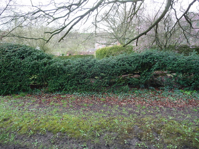
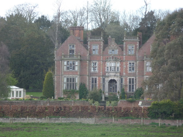
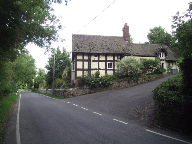
The village is characterized by its traditional English charm, with a collection of quaint cottages and historic buildings that date back several centuries. The local church, St. Peter's, is a notable landmark, displaying beautiful architecture and serving as a place of worship for the community.
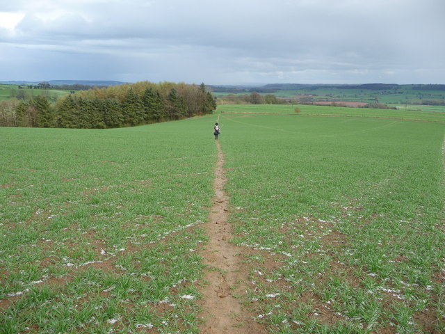
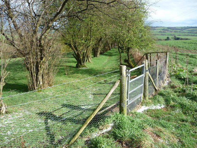
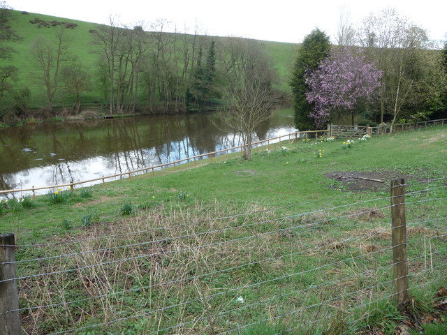
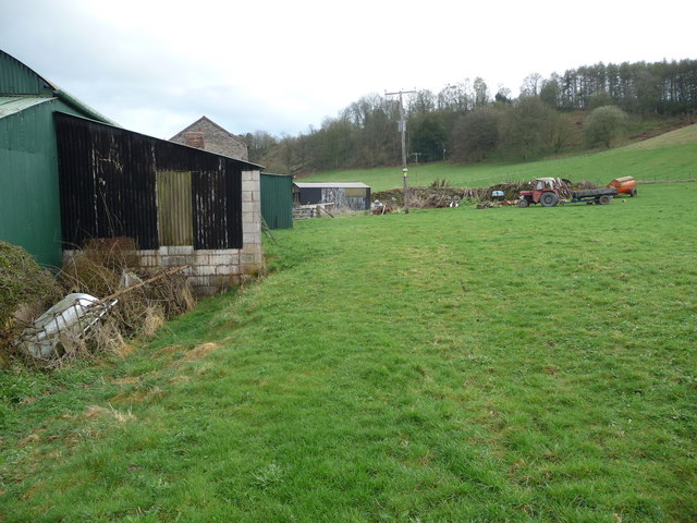
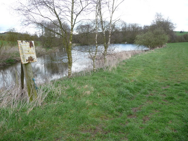
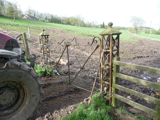
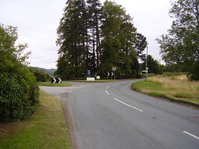
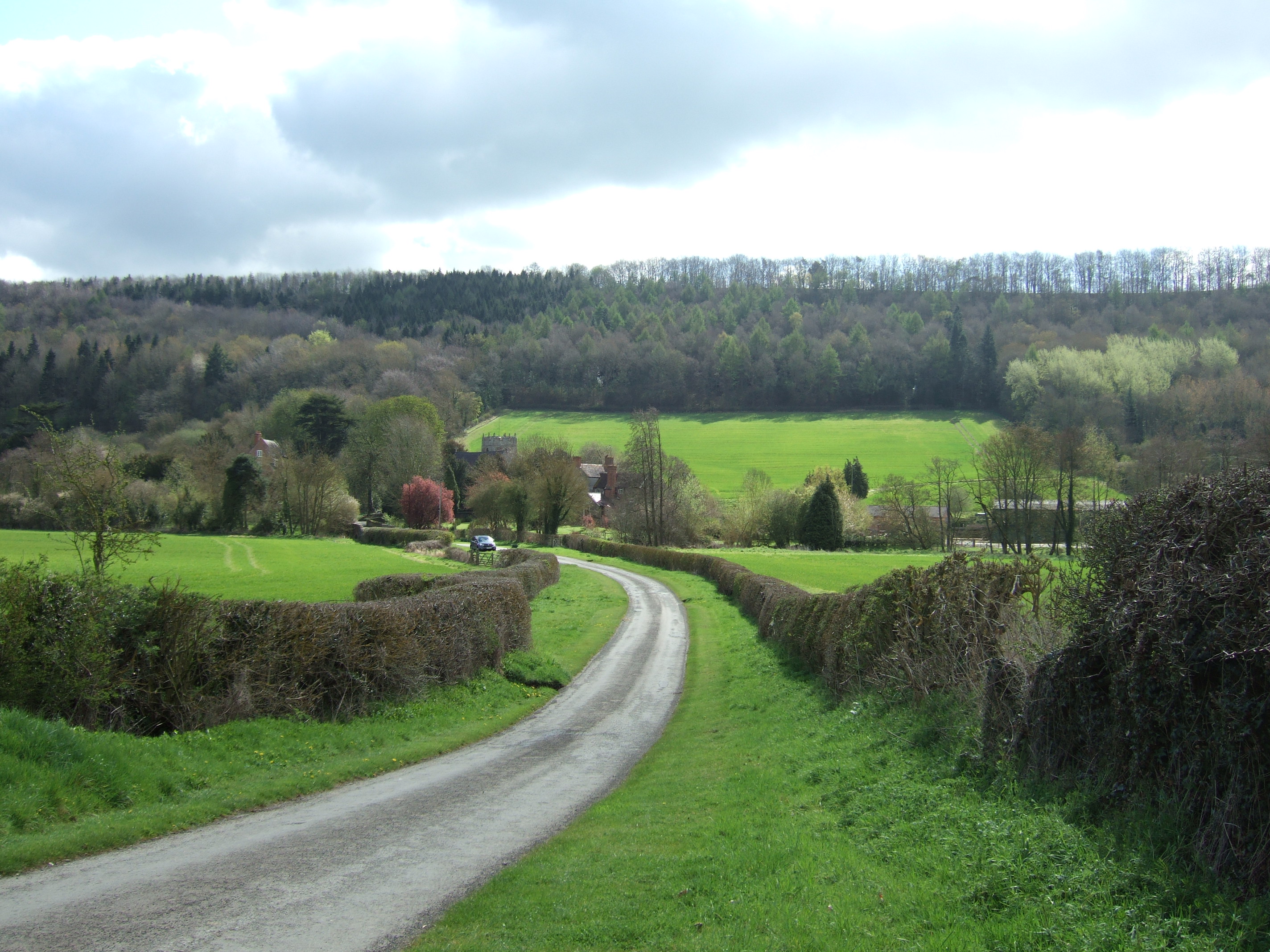
Surrounded by rolling hills and lush green countryside, Easthope is a haven for nature enthusiasts and outdoor lovers. The area offers numerous walking and cycling trails, allowing visitors to explore the scenic surroundings and take in the breathtaking views. Nearby, the Long Mynd and Wenlock Edge provide additional opportunities for outdoor activities and exploration.
Despite its tranquil setting, Easthope is conveniently located within easy reach of larger towns and cities. The market town of Much Wenlock is just a short drive away, offering a range of amenities including shops, restaurants, and leisure facilities. The county town of Shrewsbury is also within commuting distance, providing further options for shopping, dining, and entertainment.
In summary, Easthope is a charming village nestled in the stunning Shropshire Hills. With its beautiful surroundings and proximity to larger towns, it offers residents and visitors a peaceful retreat while still providing access to essential amenities.
If you have any feedback on the listing, please let us know in the comments section below.
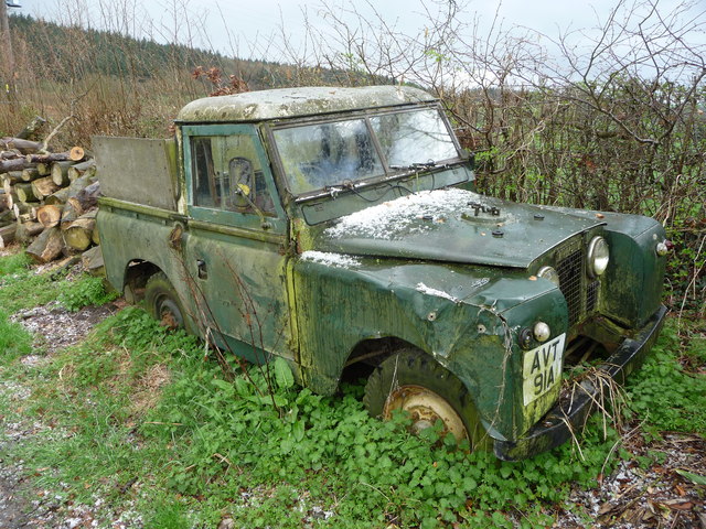
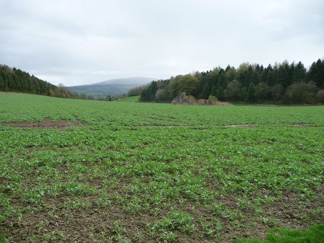
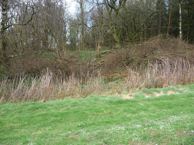
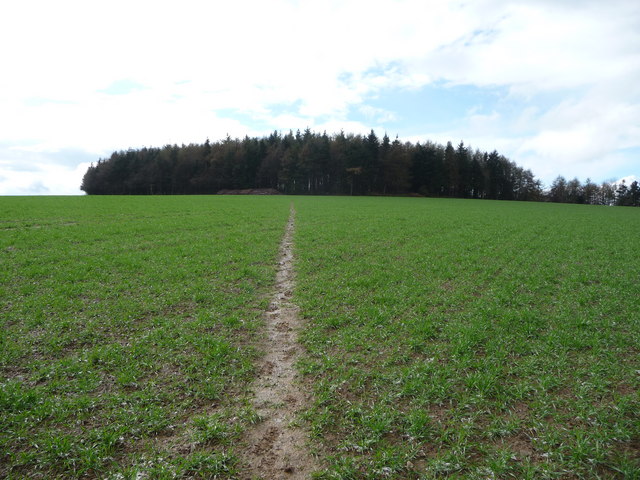
Easthope Images
Images are sourced within 2km of 52.55306/-2.64069 or Grid Reference SO5695. Thanks to Geograph Open Source API. All images are credited.

Easthope is located at Grid Ref: SO5695 (Lat: 52.55306, Lng: -2.64069)
Unitary Authority: Shropshire
Police Authority: West Mercia
What 3 Words
///alerting.marzipan.meanders. Near Kenley, Shropshire
Nearby Locations
Related Wikis

Easthope
Easthope is a small village and small civil parish in Shropshire, England. Wenlock Edge passes through the parish, to the northwest of the village, along...

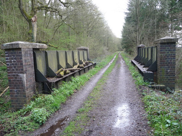
Easthope Halt railway station
Easthope Halt railway station was a station in Easthope Wood on Wenlock Edge, Easthope, Shropshire, England. The station was opened in 1936 and closed...
Wenlock Edge
Wenlock Edge is a limestone escarpment near Much Wenlock, Shropshire, England and a site of special scientific interest because of its geology. It is over...
Patton (hundred)
Patton was a hundred of Shropshire, England. Formed during Anglo-Saxon England, it encompassed manors in eastern central Shropshire, and was amalgamated...

Patton, Shropshire
Patton is a hamlet in Shropshire, England. It is located in the civil parish of Stanton Long on the B4378 road between Bourton and Brockton. It lies on...

Hughley, Shropshire
Hughley (grid reference SO565979) is a village and civil parish in Shropshire, England, about 5 miles (8 km) south-west of Much Wenlock. It lies in the...

Longville railway station
Longville railway station was a station in Longville in the Dale, Shropshire, England. The station was opened in 1867 and closed in 1951. The station is...

Bourton, Shropshire
Bourton is a small village in Shropshire, England, 3 miles (5 km) southwest of Much Wenlock. It is part of the civil parish of Much Wenlock. Holy Trinity...
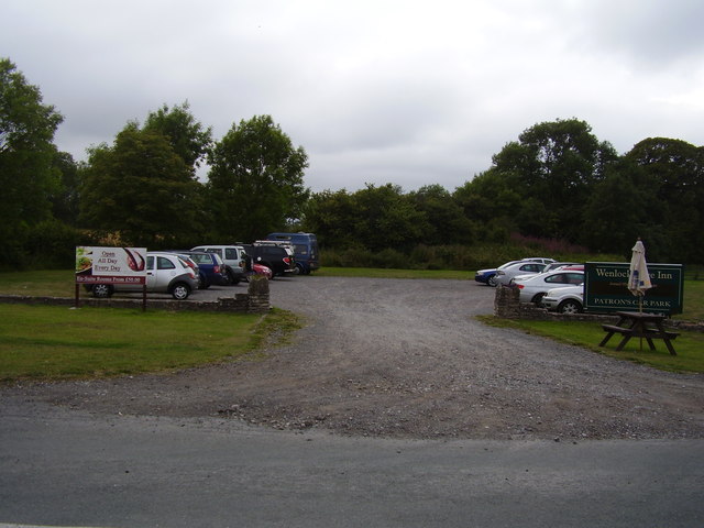
Nearby Amenities
Located within 500m of 52.55306,-2.64069Have you been to Easthope?
Leave your review of Easthope below (or comments, questions and feedback).