Limekiln Rough

Wood, Forest in Shropshire

England

Limekiln Rough

The outer rampart ring of The Ditches hillfort on Wenlock Edge From the field footpath the outer ring of ramparts are visible in Mogg Forest. They look very well preserved.
The outer rampart ring of The Ditches hillfort on Wenlock Edge Credit: Jeremy Bolwell

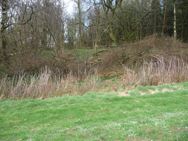
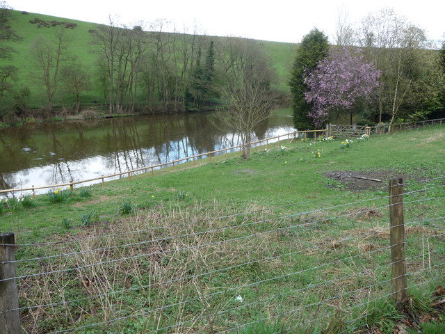
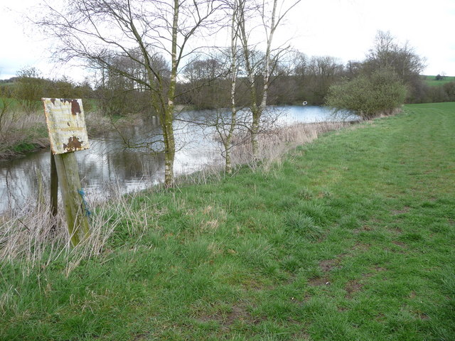
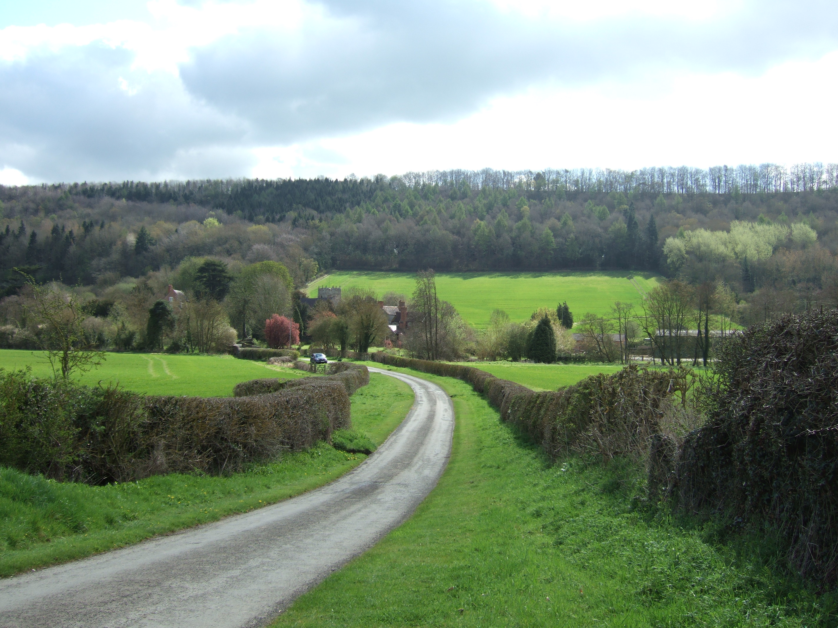
Limekiln Rough, located in the county of Shropshire, is a picturesque woodland area known for its dense forest and natural beauty. Covering an approximate area of 200 acres, Limekiln Rough is a popular destination for nature enthusiasts, hikers, and birdwatchers.

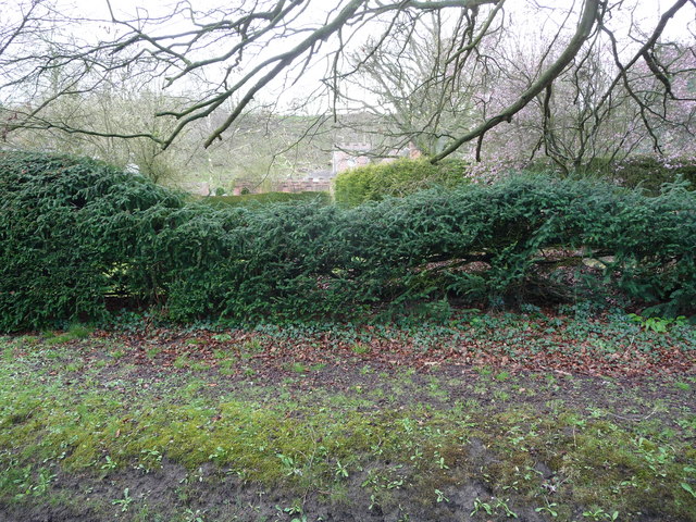
The woodland is primarily composed of oak and beech trees, which form a dense canopy and provide a habitat for a diverse range of wildlife. The forest floor is covered in a rich carpet of ferns, wildflowers, and moss, adding to the enchanting atmosphere of the area.

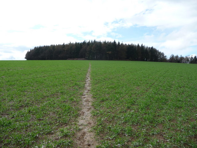
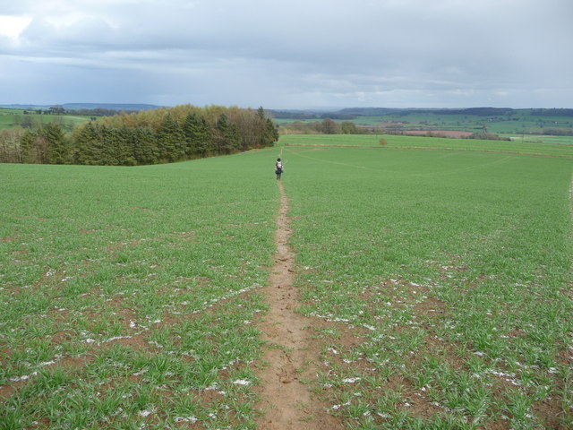
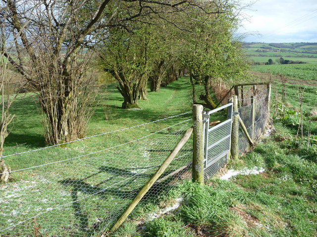
Limekiln Rough is crisscrossed with a network of well-maintained walking trails, allowing visitors to explore the forest and discover its hidden gems. The trails wind through the woodland, offering breathtaking views of the surrounding countryside and providing ample opportunities to observe the local flora and fauna.

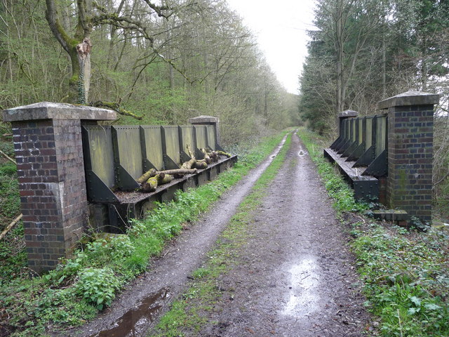
One of the notable features of Limekiln Rough is its historical limekilns, from which the area derives its name. These kilns were used in the past to heat limestone, producing lime for various industrial purposes. Although no longer in use, the limekilns serve as a reminder of the area's industrial heritage and add an interesting element to the landscape.

The forest is also home to a wide variety of bird species, making it a haven for birdwatchers. Visitors may spot woodpeckers, nuthatches, and various species of owls among the branches of the ancient trees.

Overall, Limekiln Rough offers a tranquil escape into nature, where visitors can immerse themselves in the beauty of the forest and enjoy the peaceful ambiance it provides.

If you have any feedback on the listing, please let us know in the comments section below.

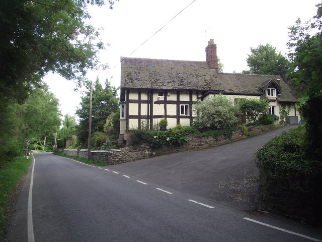
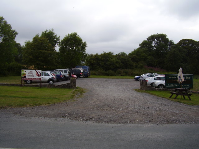
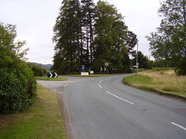
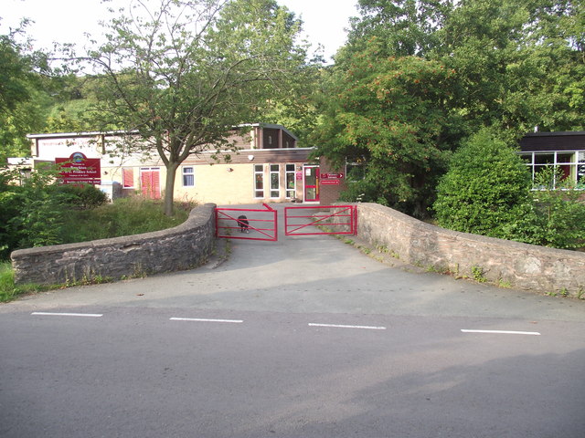
Limekiln Rough Images

Images are sourced within 2km of 52.558137/-2.6377163 or Grid Reference SO5695. Thanks to Geograph Open Source API. All images are credited.

The outer rampart ring of The Ditches hillfort on Wenlock Edge From the field footpath the outer ring of ramparts are visible in Mogg Forest. They look very well preserved.
The outer rampart ring of The Ditches hillfort on Wenlock Edge
From the field footpath the outer ring of ramparts are visible in Mogg Forest. They look very well preserved.
The Ditches hillfort on Wenlock Edge The circular stand of woodland on the skyline covers a hillfort site of banks and ditches. A prominent site with extensive views all around.
The Ditches hillfort on Wenlock Edge
The circular stand of woodland on the skyline covers a hillfort site of banks and ditches. A prominent site with extensive views all around.
Footpath across the field Between the Ditches hillfort and Brockton village.
Footpath across the field
Between the Ditches hillfort and Brockton village.
Footpath towards Brockton Here the footpath enters and follows a little green lane or sunken path between Hazel coppice down towards the village, no doubt an old route between field and village.
Footpath towards Brockton
Here the footpath enters and follows a little green lane or sunken path between Hazel coppice down towards the village, no doubt an old route between field and village.
Carp fishing pool near Brockton This tranquil pool seems to be a Carp fishery. It is also home to many birds in early April; Canada Geese honk as we pass, Coots call and  a pair of ducks fly past trying to land.
Carp fishing pool near Brockton
This tranquil pool seems to be a Carp fishery. It is also home to many birds in early April; Canada Geese honk as we pass, Coots call and a pair of ducks fly past trying to land.
Part of the Grange This is marked on the OS map as Larden Grange and may be previously have also been known as Brockton Grange but it is landscaped effectively against the public road and it is only possible to glean the merest glimpse of part of the crenellated coach house.
Part of the Grange
This is marked on the OS map as Larden Grange and may be previously have also been known as Brockton Grange but it is landscaped effectively against the public road and it is only possible to glean the merest glimpse of part of the crenellated coach house.
Easthope Mill Apparently Easthope Mill dates from the Georgian period, maybe around 1810, and hasn't been much interfered with since; a fine rare survivor. Now obviously a smallholding or farm.
Easthope Mill
Apparently Easthope Mill dates from the Georgian period, maybe around 1810, and hasn't been much interfered with since; a fine rare survivor. Now obviously a smallholding or farm.
The rear of Easthope Mill Behind the old mill house is a remnant of an old dry stone wall running to the rear plot boundary of the mill and beside that the present owner has built up a supply of firewood. A few old harrows lie protecting some old fencing wire rolls and a discarded bath tub-cum-drinking trough is being stored there too.
The rear of Easthope Mill
Behind the old mill house is a remnant of an old dry stone wall running to the rear plot boundary of the mill and beside that the present owner has built up a supply of firewood. A few old harrows lie protecting some old fencing wire rolls and a discarded bath tub-cum-drinking trough is being stored there too.
Pool near Easthope The signage has long been erased by the weather but this man-made lake is a haven for birdlife in early April; a pair of Canada Geese seem to be thinking of nesting here (the male honking at us as we passed) and coot and ducks also were disturbed by our passing. Obviously they were not expecting visitors.
Pool near Easthope
The signage has long been erased by the weather but this man-made lake is a haven for birdlife in early April; a pair of Canada Geese seem to be thinking of nesting here (the male honking at us as we passed) and coot and ducks also were disturbed by our passing. Obviously they were not expecting visitors.
Lutwyche Hall Lutwyche Hall is originally an Elizabethan hall built in 1587 in the shape of an E - to represent Elizabeth as current monarch but has since been extended and added to over the centuries since.
Lutwyche Hall
Lutwyche Hall is originally an Elizabethan hall built in 1587 in the shape of an E - to represent Elizabeth as current monarch but has since been extended and added to over the centuries since.
Lutwyche Hall A close-up of the hall's front elevation, partly obscured.
Lutwyche Hall
A close-up of the hall's front elevation, partly obscured.
Wrought iron gate at Hall Farm near Lutwyche Hall A fine old gateway, amazing it has survived.
Wrought iron gate at Hall Farm near Lutwyche Hall
A fine old gateway, amazing it has survived.
Old railway bridge on the dismantled railway line Now just walkers and cyclists travel this route but in the past this rail line carried limestone to Coalbrookdale.
Old railway bridge on the dismantled railway line
Now just walkers and cyclists travel this route but in the past this rail line carried limestone to Coalbrookdale.
Ivy Cottage, Brockton
Carpark across the road Serving the Wenlock Edge Public house.
Carpark across the road
Serving the Wenlock Edge Public house.
Easthope Junction Close to the Wenlock Edge inn.
Easthope Junction
Close to the Wenlock Edge inn.
C of E Primary school, Brockton A reminder of Alan Ahlberg's poem, Dog in the playground.
C of E Primary school, Brockton
A reminder of Alan Ahlberg's poem, Dog in the playground.
Permissive path heading towards Wenlock Edge Several such paths have been created in field margins around the area, under  DEFRA-sponsored conservation scheme.
Permissive path heading towards Wenlock Edge
Several such paths have been created in field margins around the area, under DEFRA-sponsored conservation scheme.
Show me another place!

Limekiln Rough is located at Grid Ref: SO5695 (Lat: 52.558137, Lng: -2.6377163)

Unitary Authority: Shropshire

Police Authority: West Mercia

What 3 Words

///mats.fits.blacken. Near Kenley, Shropshire

Related Wikis

Easthope

Easthope is a small village and small civil parish in Shropshire, England. Wenlock Edge passes through the parish, to the northwest of the village, along...

Easthope Halt railway station

Easthope Halt railway station was a station in Easthope Wood on Wenlock Edge, Easthope, Shropshire, England. The station was opened in 1936 and closed...

Wenlock Edge

Wenlock Edge is a limestone escarpment near Much Wenlock, Shropshire, England and a site of special scientific interest because of its geology. It is over...

Patton (hundred)

Patton was a hundred of Shropshire, England. Formed during Anglo-Saxon England, it encompassed manors in eastern central Shropshire, and was amalgamated...

Patton, Shropshire

Patton is a hamlet in Shropshire, England. It is located in the civil parish of Stanton Long on the B4378 road between Bourton and Brockton. It lies on...

Hughley, Shropshire

Hughley (grid reference SO565979) is a village and civil parish in Shropshire, England, about 5 miles (8 km) south-west of Much Wenlock. It lies in the...

Presthope railway station

Presthope railway station was a station to the east of Hughley, Shropshire, England. The station was opened in 1867 and closed in 1951. == References... ==

Bourton, Shropshire

Bourton is a small village in Shropshire, England, 3 miles (5 km) southwest of Much Wenlock. It is part of the civil parish of Much Wenlock. Holy Trinity...

Nearby Amenities

Located within 500m of 52.558137,-2.6377163
Barrier: stile
Lat/Long: 52.5569883/-2.6330139
Power: pole
Lat/Long: 52.5586836/-2.643774
Power: pole
Lat/Long: 52.557482/-2.6434511
Power: pole
Lat/Long: 52.5567286/-2.6422656
Power: pole
Lat/Long: 52.5559589/-2.6411605
Power: pole
Lat/Long: 52.5551305/-2.6399106
Power: pole
Lat/Long: 52.5586887/-2.6308796
Power: pole
Lat/Long: 52.5578962/-2.6314053
Power: pole
Lat/Long: 52.556952/-2.632041
Power: pole
Lat/Long: 52.5562345/-2.6325828
Power: pole
Lat/Long: 52.5553539/-2.633307
Power: pole
Lat/Long: 52.5544668/-2.6340473
Power: pole
Lat/Long: 52.5541863/-2.6388404
Power: pole
Lat/Long: 52.554395/-2.6387867
The data included in this document is from www.openstreetmap.org. The data is made available under ODbL.

Have you been to Limekiln Rough?

Leave your review of Limekiln Rough below (or comments, questions and feedback).