Easthopewood

Settlement in Shropshire

England

Easthopewood

The outer rampart ring of The Ditches hillfort on Wenlock Edge From the field footpath the outer ring of ramparts are visible in Mogg Forest. They look very well preserved.
The outer rampart ring of The Ditches hillfort on Wenlock Edge Credit: Jeremy Bolwell

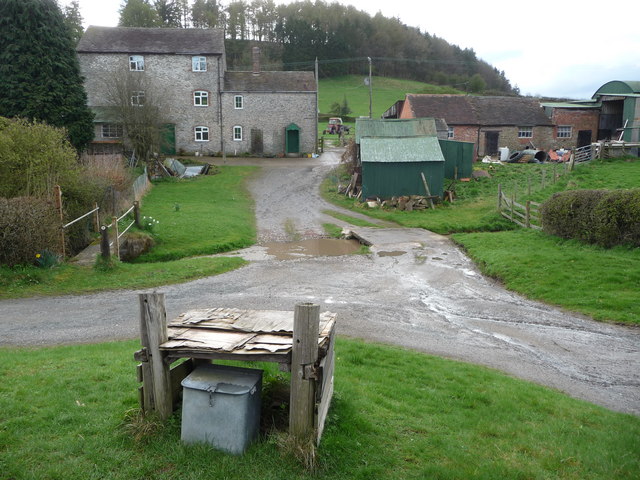
Easthopewood is a small village located in the county of Shropshire, England. Situated in the West Midlands region, it is nestled within the picturesque countryside and surrounded by rolling hills and lush green fields. The village is part of the larger district of Shropshire and is approximately five miles northeast of the town of Shrewsbury.

The history of Easthopewood can be traced back to medieval times, with evidence of settlements dating back to the 12th century. Today, the village retains its historic charm with a number of well-preserved timber-framed buildings and traditional cottages lining its streets. The local church, St. Mary's, is a notable architectural gem, believed to have been built in the 13th century.

While Easthopewood is primarily residential, it offers a peaceful and idyllic setting for its inhabitants. The village is surrounded by stunning natural beauty, making it a popular destination for outdoor enthusiasts. There are numerous walking trails and cycling routes in the area, allowing residents and visitors to explore the scenic countryside.

Despite its rural setting, Easthopewood is well-connected to nearby towns and cities. The A49 road runs nearby, providing easy access to Shrewsbury and other major transportation routes. The village also benefits from a strong sense of community, with several local amenities such as a village hall, a primary school, and a pub, which serves as a social hub for residents.

Overall, Easthopewood offers a peaceful and picturesque place to live, with its rich history, stunning natural surroundings, and strong community spirit.

If you have any feedback on the listing, please let us know in the comments section below.
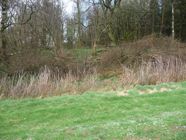
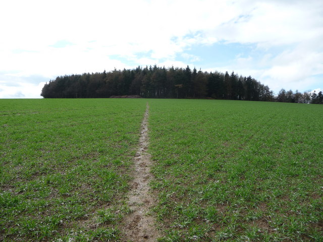
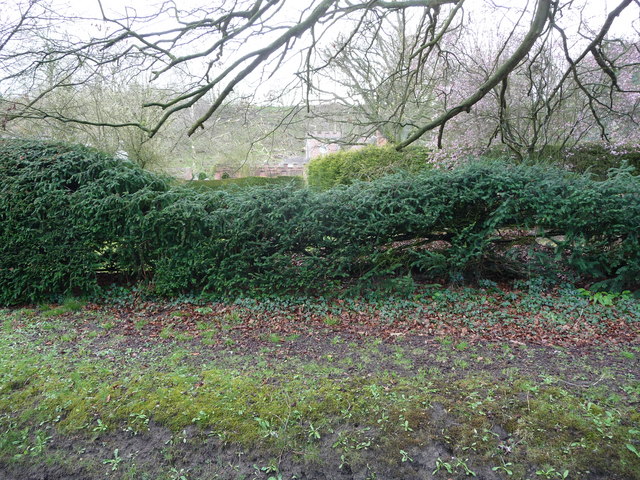
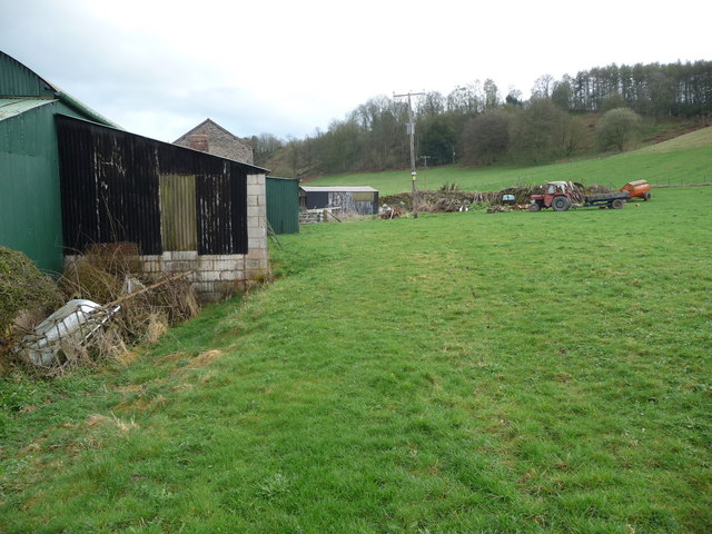
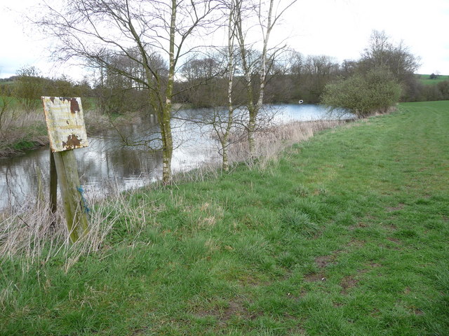
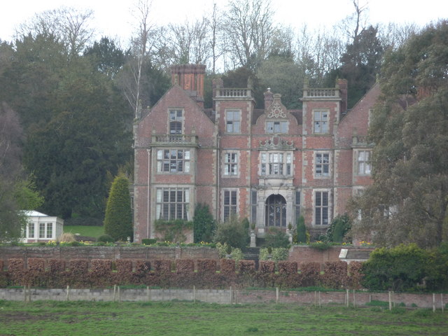
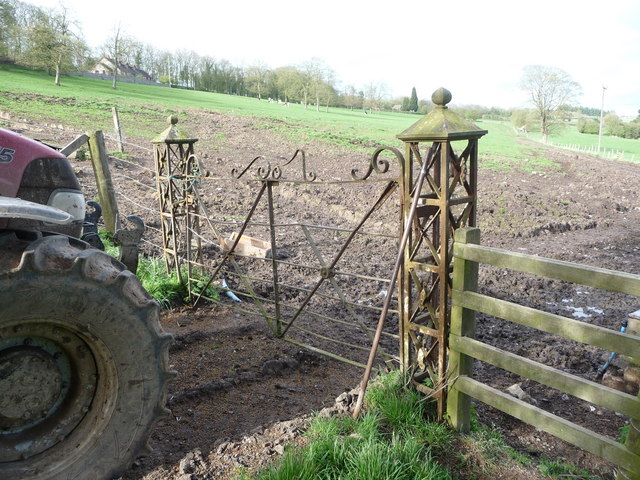
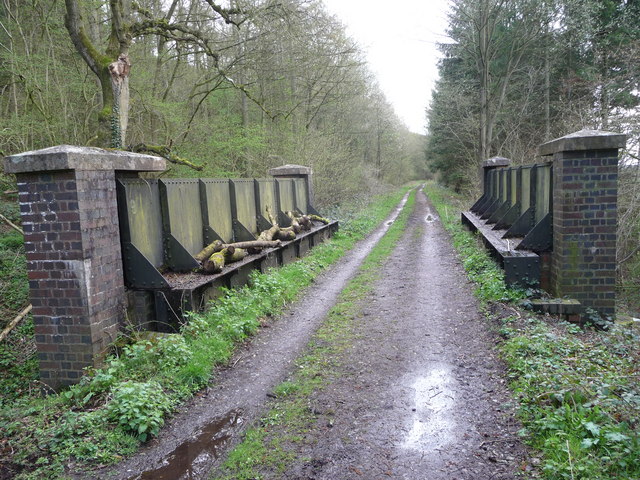
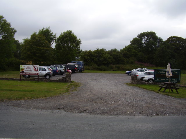
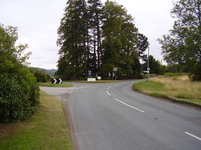
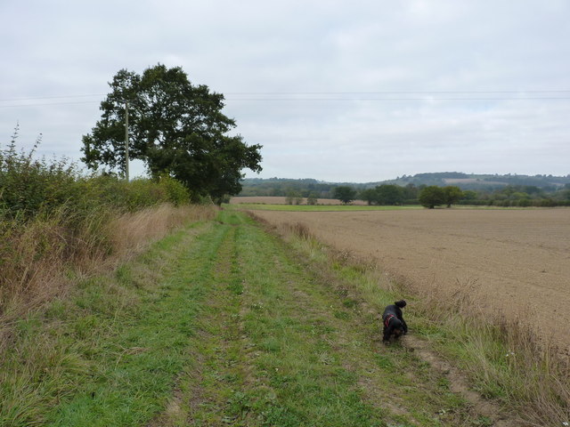
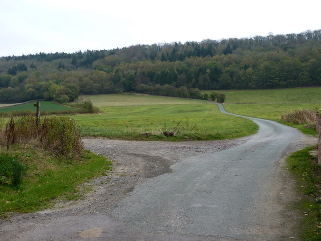
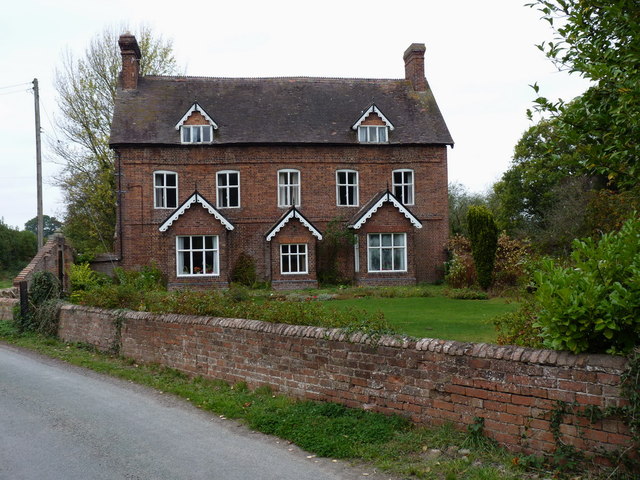
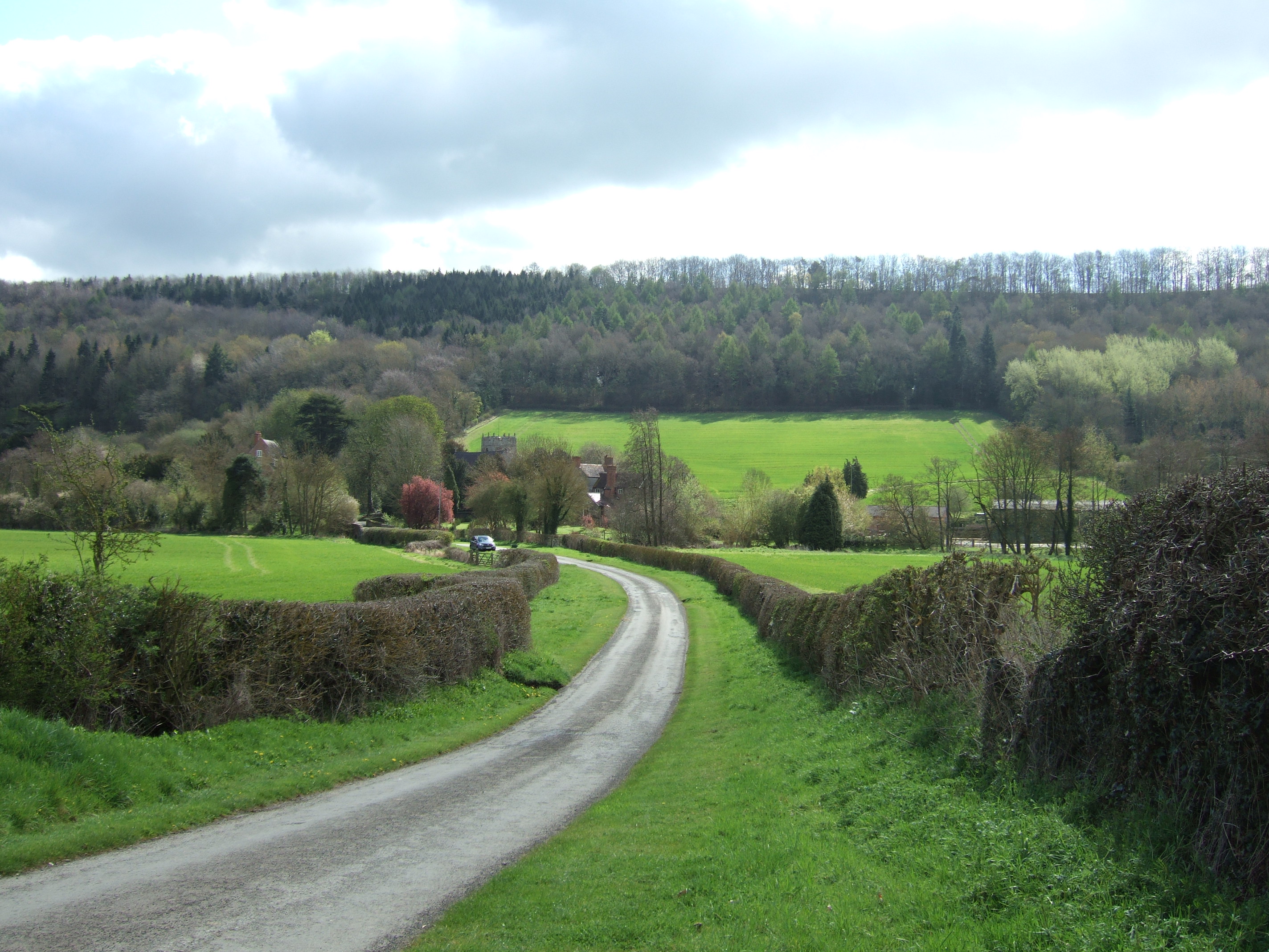
Easthopewood Images

Images are sourced within 2km of 52.560045/-2.6504742 or Grid Reference SO5696. Thanks to Geograph Open Source API. All images are credited.

The outer rampart ring of The Ditches hillfort on Wenlock Edge From the field footpath the outer ring of ramparts are visible in Mogg Forest. They look very well preserved.
The outer rampart ring of The Ditches hillfort on Wenlock Edge
From the field footpath the outer ring of ramparts are visible in Mogg Forest. They look very well preserved.
The Ditches hillfort on Wenlock Edge The circular stand of woodland on the skyline covers a hillfort site of banks and ditches. A prominent site with extensive views all around.
The Ditches hillfort on Wenlock Edge
The circular stand of woodland on the skyline covers a hillfort site of banks and ditches. A prominent site with extensive views all around.
Part of the Grange This is marked on the OS map as Larden Grange and may be previously have also been known as Brockton Grange but it is landscaped effectively against the public road and it is only possible to glean the merest glimpse of part of the crenellated coach house.
Part of the Grange
This is marked on the OS map as Larden Grange and may be previously have also been known as Brockton Grange but it is landscaped effectively against the public road and it is only possible to glean the merest glimpse of part of the crenellated coach house.
Easthope Mill Apparently Easthope Mill dates from the Georgian period, maybe around 1810, and hasn't been much interfered with since; a fine rare survivor. Now obviously a smallholding or farm.
Easthope Mill
Apparently Easthope Mill dates from the Georgian period, maybe around 1810, and hasn't been much interfered with since; a fine rare survivor. Now obviously a smallholding or farm.
The rear of Easthope Mill Behind the old mill house is a remnant of an old dry stone wall running to the rear plot boundary of the mill and beside that the present owner has built up a supply of firewood. A few old harrows lie protecting some old fencing wire rolls and a discarded bath tub-cum-drinking trough is being stored there too.
The rear of Easthope Mill
Behind the old mill house is a remnant of an old dry stone wall running to the rear plot boundary of the mill and beside that the present owner has built up a supply of firewood. A few old harrows lie protecting some old fencing wire rolls and a discarded bath tub-cum-drinking trough is being stored there too.
Pool near Easthope The signage has long been erased by the weather but this man-made lake is a haven for birdlife in early April; a pair of Canada Geese seem to be thinking of nesting here (the male honking at us as we passed) and coot and ducks also were disturbed by our passing. Obviously they were not expecting visitors.
Pool near Easthope
The signage has long been erased by the weather but this man-made lake is a haven for birdlife in early April; a pair of Canada Geese seem to be thinking of nesting here (the male honking at us as we passed) and coot and ducks also were disturbed by our passing. Obviously they were not expecting visitors.
Lutwyche Hall Lutwyche Hall is originally an Elizabethan hall built in 1587 in the shape of an E - to represent Elizabeth as current monarch but has since been extended and added to over the centuries since.
Lutwyche Hall
Lutwyche Hall is originally an Elizabethan hall built in 1587 in the shape of an E - to represent Elizabeth as current monarch but has since been extended and added to over the centuries since.
Lutwyche Hall A close-up of the hall's front elevation, partly obscured.
Lutwyche Hall
A close-up of the hall's front elevation, partly obscured.
Wrought iron gate at Hall Farm near Lutwyche Hall A fine old gateway, amazing it has survived.
Wrought iron gate at Hall Farm near Lutwyche Hall
A fine old gateway, amazing it has survived.
Old railway bridge on the dismantled railway line Now just walkers and cyclists travel this route but in the past this rail line carried limestone to Coalbrookdale.
Old railway bridge on the dismantled railway line
Now just walkers and cyclists travel this route but in the past this rail line carried limestone to Coalbrookdale.
Carpark across the road Serving the Wenlock Edge Public house.
Carpark across the road
Serving the Wenlock Edge Public house.
Easthope Junction Close to the Wenlock Edge inn.
Easthope Junction
Close to the Wenlock Edge inn.
Approaching Oakham Farm
Outbuildings at the rear of Oakham Farm
Permissive path in the fields west of Lushcott One of a series of paths laid out in field margins in the area, under a DEFRA-sponsored conservation scheme
Permissive path in the fields west of Lushcott
One of a series of paths laid out in field margins in the area, under a DEFRA-sponsored conservation scheme
Permissive path heading towards Wenlock Edge Several such paths have been created in field margins around the area, under  DEFRA-sponsored conservation scheme.
Permissive path heading towards Wenlock Edge
Several such paths have been created in field margins around the area, under DEFRA-sponsored conservation scheme.
The road from Lushcott up to Wenlock Edge
Lushcott Manor house A fine country house in the hamlet of Lushcott
Lushcott Manor house
A fine country house in the hamlet of Lushcott
Show me another place!

Easthopewood is located at Grid Ref: SO5696 (Lat: 52.560045, Lng: -2.6504742)

Unitary Authority: Shropshire

Police Authority: West Mercia

What 3 Words

///leathers.reserving.refills. Near Kenley, Shropshire

Related Wikis

Easthope Halt railway station

Easthope Halt railway station was a station in Easthope Wood on Wenlock Edge, Easthope, Shropshire, England. The station was opened in 1936 and closed...

Easthope

Easthope is a small village and small civil parish in Shropshire, England. Wenlock Edge passes through the parish, to the northwest of the village, along...

Wenlock Edge

Wenlock Edge is a limestone escarpment near Much Wenlock, Shropshire, England and a site of special scientific interest because of its geology. It is over...

Hughley, Shropshire

Hughley (grid reference SO565979) is a village and civil parish in Shropshire, England, about 5 miles (8 km) south-west of Much Wenlock. It lies in the...

Nearby Amenities

Located within 500m of 52.560045,-2.6504742
Easthope
Abandoned Railway: halt
Railway: site
Wikidata: Q28970434
Wikipedia: en:Easthope Halt railway station
Lat/Long: 52.5593329/-2.6455134
Power: pole
Lat/Long: 52.5595336/-2.6447628
Power: pole
Lat/Long: 52.5586836/-2.643774
Power: pole
Lat/Long: 52.5604282/-2.6458089
Building: yes
Lat/Long: 52.5632823/-2.648157
Power: pole
Lat/Long: 52.5636342/-2.6473323
Power: pole
Lat/Long: 52.5625564/-2.647174
Power: pole
Lat/Long: 52.5615439/-2.6470131
Give Way
Direction: forward
Lat/Long: 52.556169/-2.6478818
Give Way
Direction: backward
Lat/Long: 52.5561309/-2.6477964
The data included in this document is from www.openstreetmap.org. The data is made available under ODbL.

Have you been to Easthopewood?

Leave your review of Easthopewood below (or comments, questions and feedback).