Gwyn's Coppice

Wood, Forest in Shropshire

England

Gwyn's Coppice

Old railway bridge on the dismantled railway line Now just walkers and cyclists travel this route but in the past this rail line carried limestone to Coalbrookdale.
Old railway bridge on the dismantled railway line Credit: Jeremy Bolwell

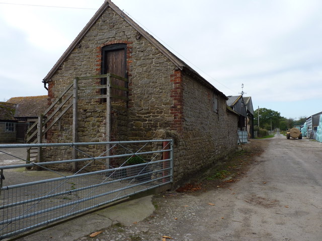
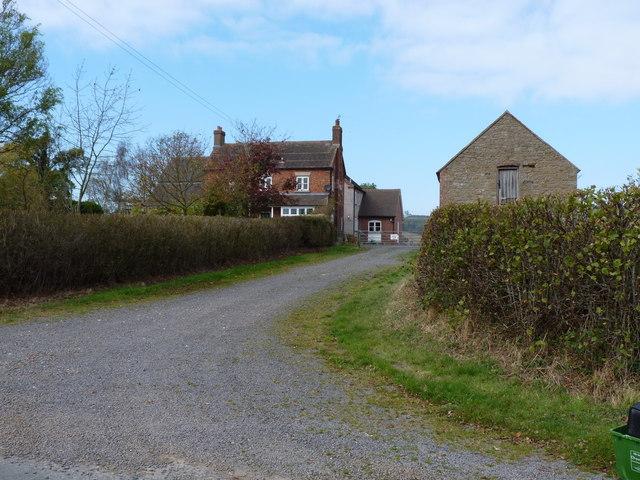
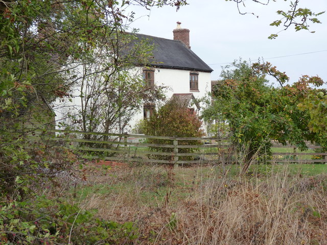
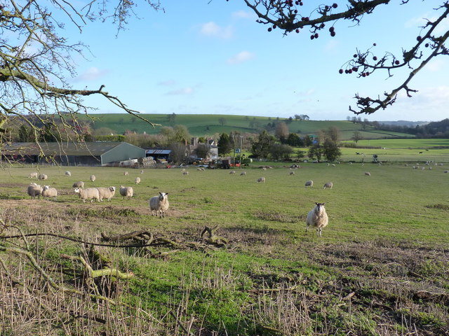
Gwyn's Coppice is a picturesque woodland located in the county of Shropshire, England. Situated near the small village of Gwyn, the coppice covers an area of approximately 50 acres and is known for its diverse range of flora and fauna.

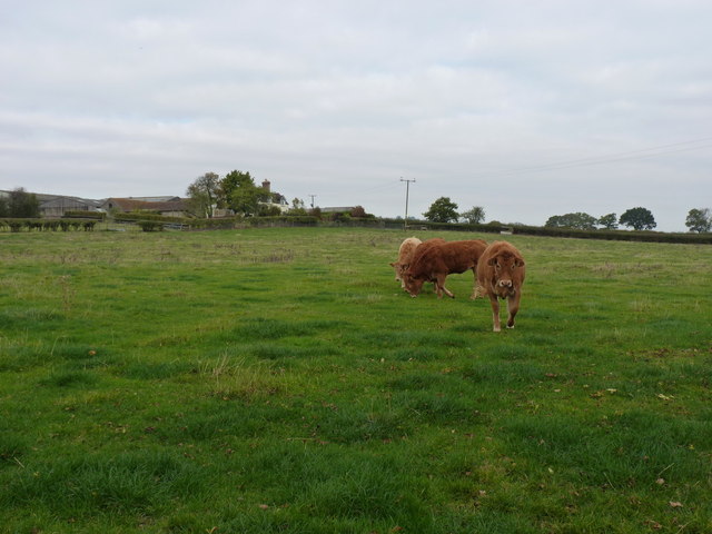
The woodland is characterized by its dense canopy of trees, predominantly consisting of oak, beech, and birch. These towering trees create a tranquil atmosphere, providing shade and shelter for a variety of wildlife. Gwyn's Coppice is home to numerous species of birds, including woodpeckers, owls, and various songbirds, making it a popular spot for birdwatching enthusiasts.

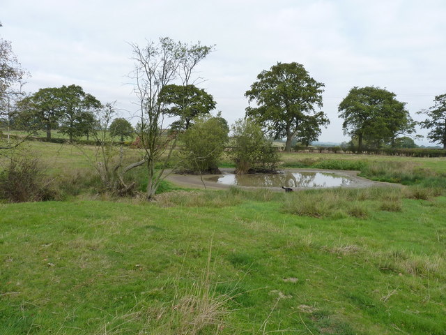
The forest floor of Gwyn's Coppice is adorned with a rich tapestry of wildflowers, ferns, and mushrooms, adding to its natural beauty. These vibrant displays change with the seasons, offering visitors a different experience throughout the year.

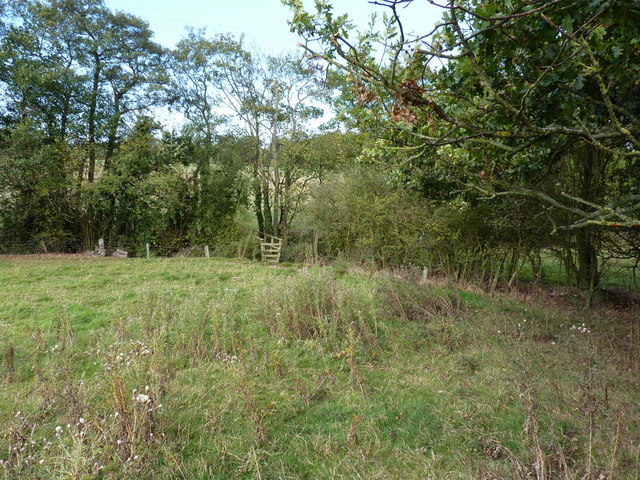
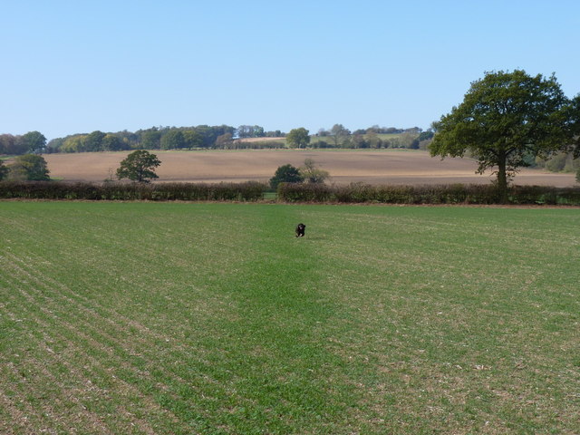
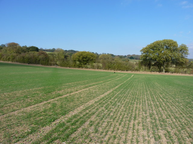
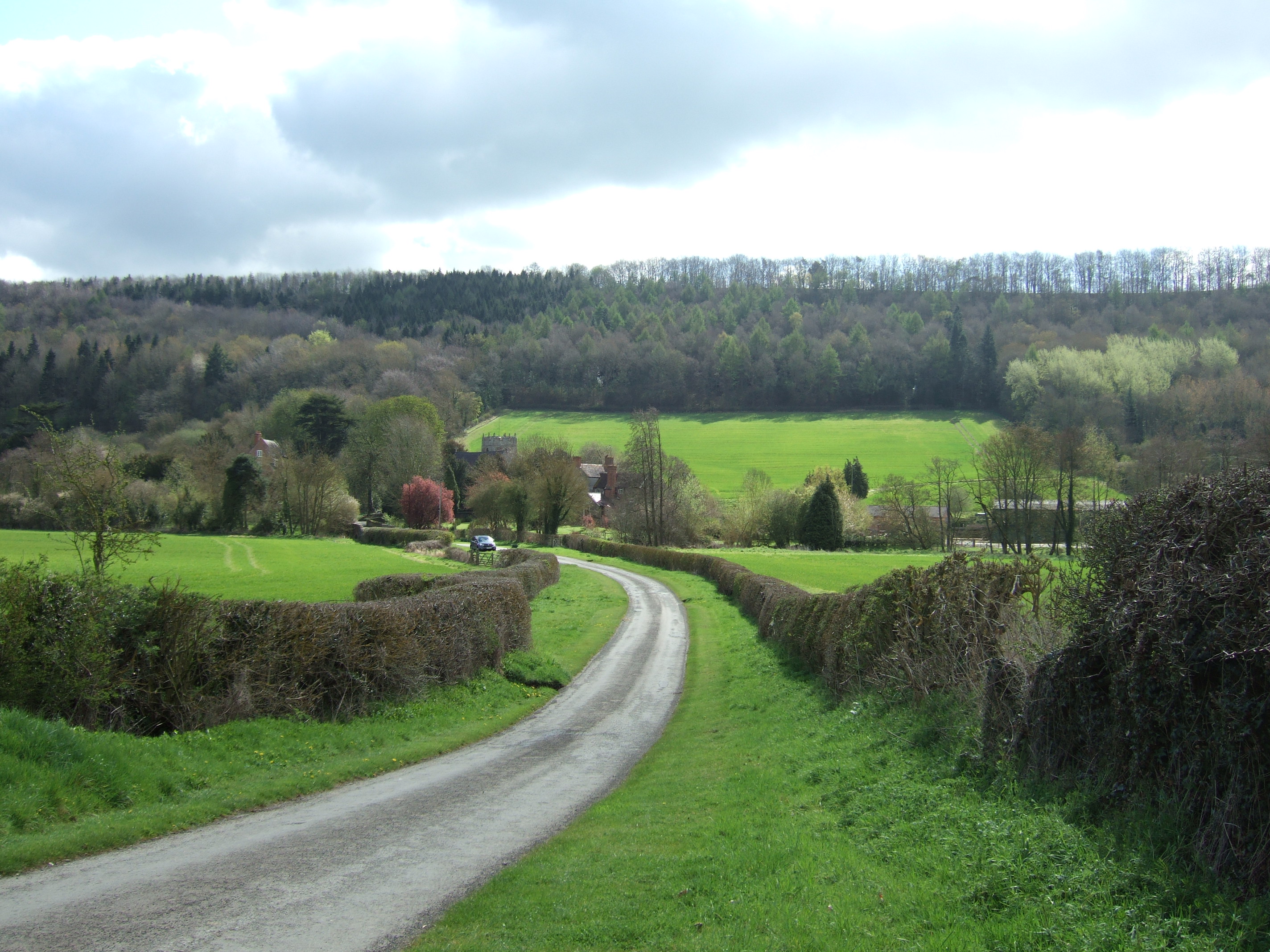
The woodland is crisscrossed by a network of footpaths, allowing visitors to explore the area on foot. These well-maintained trails provide an opportunity to immerse oneself in the peaceful surroundings, with occasional glimpses of wildlife and breathtaking views of the surrounding countryside.

Gwyn's Coppice is not only a haven for nature lovers but also a valuable habitat for numerous rare and endangered species. The woodland is actively managed to preserve its ecological balance, ensuring the continued protection of its unique ecosystem.

Overall, Gwyn's Coppice in Shropshire is a true gem of natural beauty, offering visitors a chance to escape the hustle and bustle of everyday life and connect with the tranquility and serenity of the natural world.

If you have any feedback on the listing, please let us know in the comments section below.

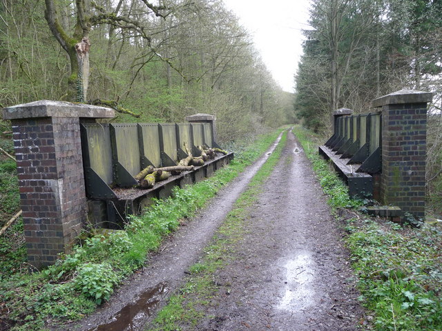
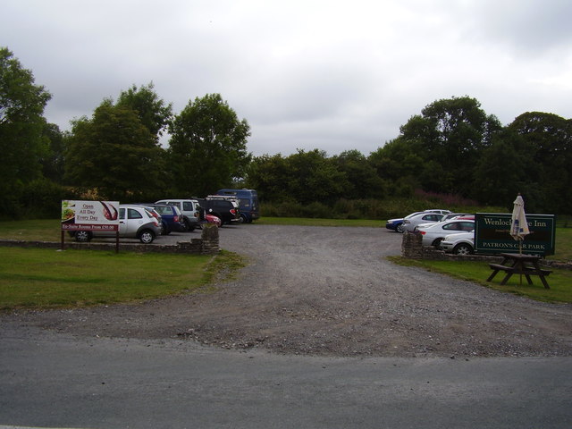
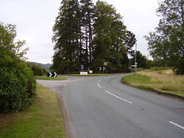
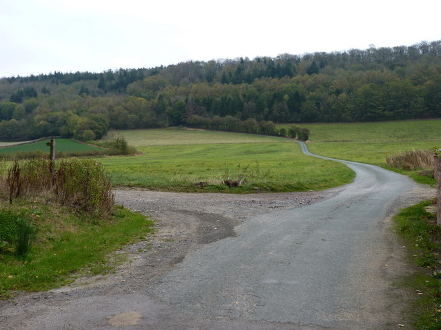
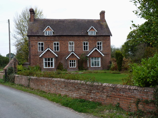
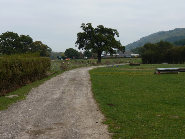
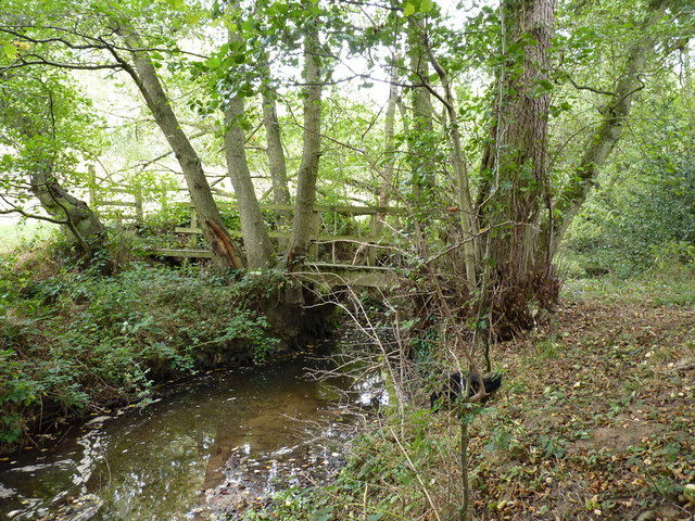
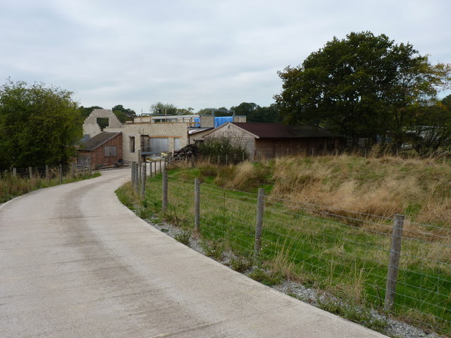
Gwyn's Coppice Images

Images are sourced within 2km of 52.568925/-2.649145 or Grid Reference SO5696. Thanks to Geograph Open Source API. All images are credited.

Old railway bridge on the dismantled railway line Now just walkers and cyclists travel this route but in the past this rail line carried limestone to Coalbrookdale.
Old railway bridge on the dismantled railway line
Now just walkers and cyclists travel this route but in the past this rail line carried limestone to Coalbrookdale.
Carpark across the road Serving the Wenlock Edge Public house.
Carpark across the road
Serving the Wenlock Edge Public house.
Easthope Junction Close to the Wenlock Edge inn.
Easthope Junction
Close to the Wenlock Edge inn.
The road from Lushcott up to Wenlock Edge
Lushcott Manor house A fine country house in the hamlet of Lushcott
Lushcott Manor house
A fine country house in the hamlet of Lushcott
The track towards Wood Farm
Footbridge over the Hughley Brook
Building work and barn conversion in progress at Holy Mill
Guardians of a path to nowhere The path heads south from Red House Farm, and may once have connected with others through the Holy Mill area. It now seems to peter out a little way south of here, leaving the walker to negotiate a field containing these inquisitive heifers; as usual, waving a map around seems to discourage them quite well.
Guardians of a path to nowhere
The path heads south from Red House Farm, and may once have connected with others through the Holy Mill area. It now seems to peter out a little way south of here, leaving the walker to negotiate a field containing these inquisitive heifers; as usual, waving a map around seems to discourage them quite well.
Barns at Red House Farm The road, such as it is, runs right through the middle of the barns of Red House Farm.
Barns at Red House Farm
The road, such as it is, runs right through the middle of the barns of Red House Farm.
Shallow pool west of Red House Farm It looks bigger on the map; even the dog was a little disappointed not to find a decent depth of water to cool off in.
Shallow pool west of Red House Farm
It looks bigger on the map; even the dog was a little disappointed not to find a decent depth of water to cool off in.
Upper Day House A smallholding on the road between Longville and Hughley
Upper Day House
A smallholding on the road between Longville and Hughley
Lower Day House One of a pair of cottages along the road from Longville to Hughley - Upper Day House to the southwest appears to be a small farm <a href="https://www.geograph.org.uk/photo/2651310">SO5496 : Upper Day House</a>
Lower Day House
One of a pair of cottages along the road from Longville to Hughley - Upper Day House to the southwest appears to be a small farm SO5496 : Upper Day House
Footbridge over a tributary of the Hughley Brook This tributary comes in from the Holt Farm area to the west, joining the Hughley Brook near The Falls Farm in <a href="https://www.geograph.org.uk/gridref/SO5597">SO5597</a>
Footbridge over a tributary of the Hughley Brook
This tributary comes in from the Holt Farm area to the west, joining the Hughley Brook near The Falls Farm in SO5597
Footpath towards Preen The path runs across newly-germinated winter wheat, then turns right at the stile (behind the excited Barkley) before heading off to the right towards Preen.
Footpath towards Preen
The path runs across newly-germinated winter wheat, then turns right at the stile (behind the excited Barkley) before heading off to the right towards Preen.
Footpath towards Preen Manor I don't think the image needs straightening - the land here does slope slightly from left to right...
Footpath towards Preen Manor
I don't think the image needs straightening - the land here does slope slightly from left to right...
Across fields towards Easthope Several sheep looked surprised to see us walking the lane to Lutwyche...
Across fields towards Easthope
Several sheep looked surprised to see us walking the lane to Lutwyche...
B4371 near Hilltop
B4371 near Hilltop
Show me another place!

Gwyn's Coppice is located at Grid Ref: SO5696 (Lat: 52.568925, Lng: -2.649145)

Unitary Authority: Shropshire

Police Authority: West Mercia

What 3 Words

///fakes.doted.showrooms. Near Kenley, Shropshire

Related Wikis

Hughley, Shropshire

Hughley (grid reference SO565979) is a village and civil parish in Shropshire, England, about 5 miles (8 km) south-west of Much Wenlock. It lies in the...

Easthope Halt railway station

Easthope Halt railway station was a station in Easthope Wood on Wenlock Edge, Easthope, Shropshire, England. The station was opened in 1936 and closed...

Easthope

Easthope is a small village and small civil parish in Shropshire, England. Wenlock Edge passes through the parish, to the northwest of the village, along...

Wenlock Edge

Wenlock Edge is a limestone escarpment near Much Wenlock, Shropshire, England and a site of special scientific interest because of its geology. It is over...

Church Preen

Church Preen is a dispersed hamlet and small civil parish in central Shropshire, England. The county town of Shropshire is Shrewsbury, which is located...

Presthope railway station

Presthope railway station was a station to the east of Hughley, Shropshire, England. The station was opened in 1867 and closed in 1951. == References... ==

Patton (hundred)

Patton was a hundred of Shropshire, England. Formed during Anglo-Saxon England, it encompassed manors in eastern central Shropshire, and was amalgamated...

Plaish Hall

Plaish Hall is a country house in Plaish, in the civil parish of Cardington, in the Shropshire district, in the ceremonial county of Shropshire, England...

Nearby Amenities

Located within 500m of 52.568925,-2.649145
Power: pole
Lat/Long: 52.571939/-2.6484051
Power: pole
Lat/Long: 52.5702892/-2.6482442
Power: pole
Lat/Long: 52.5689557/-2.6481369
Power: pole
Lat/Long: 52.5679759/-2.6479706
Power: pole
Lat/Long: 52.5668803/-2.6478285
Power: pole
Lat/Long: 52.5657766/-2.6476568
Power: pole
Lat/Long: 52.5647445/-2.6475039
The data included in this document is from www.openstreetmap.org. The data is made available under ODbL.

Have you been to Gwyn's Coppice?

Leave your review of Gwyn's Coppice below (or comments, questions and feedback).