Bircham Wood
Wood, Forest in Gloucestershire Forest of Dean
England
Bircham Wood
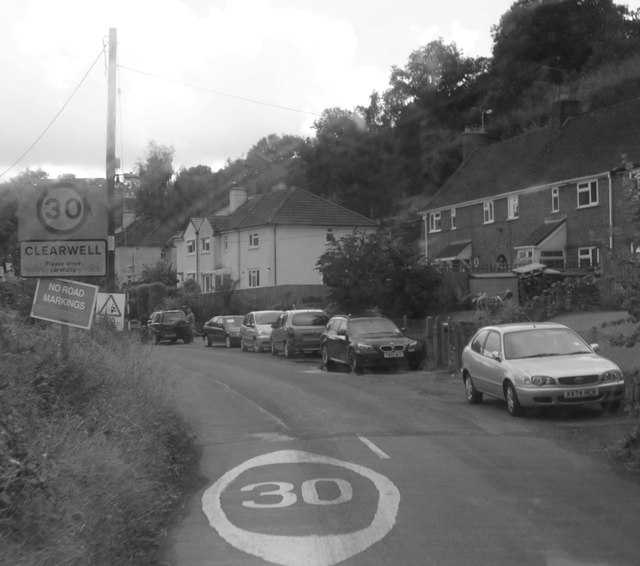
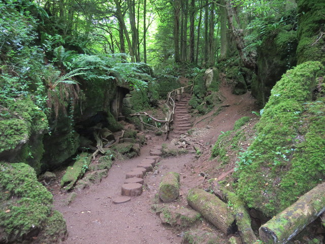
Bircham Wood is a picturesque woodland located in Gloucestershire, England. Covering an area of approximately 100 acres, the wood is a popular destination for nature enthusiasts and walkers alike. It is situated near the village of Bircham, hence its name.
The woodland is predominantly composed of birch trees, which give it a unique and enchanting atmosphere. These trees, with their slender trunks and delicate leaves, create a dappled effect as sunlight filters through the canopy. In addition to birch, the wood is also home to a variety of other tree species, such as oak, beech, and ash, which add to its rich biodiversity.
Walking through Bircham Wood, visitors can enjoy a network of well-maintained footpaths that wind their way through the trees. These paths provide an opportunity to observe the diverse wildlife that inhabits the area. Squirrels scampering between branches, birds singing their melodious tunes, and occasionally, deer grazing in the glades can be spotted along the way.
The wood is also known for its vibrant display of wildflowers during the spring and summer months. Bluebells, primroses, and wood anemones carpet the forest floor, creating a stunning tapestry of colors. The scent of these blooms further enhances the sensory experience of being in Bircham Wood.
Overall, Bircham Wood is a tranquil and idyllic spot, offering visitors a chance to escape the hustle and bustle of everyday life and immerse themselves in the beauty of nature.
If you have any feedback on the listing, please let us know in the comments section below.
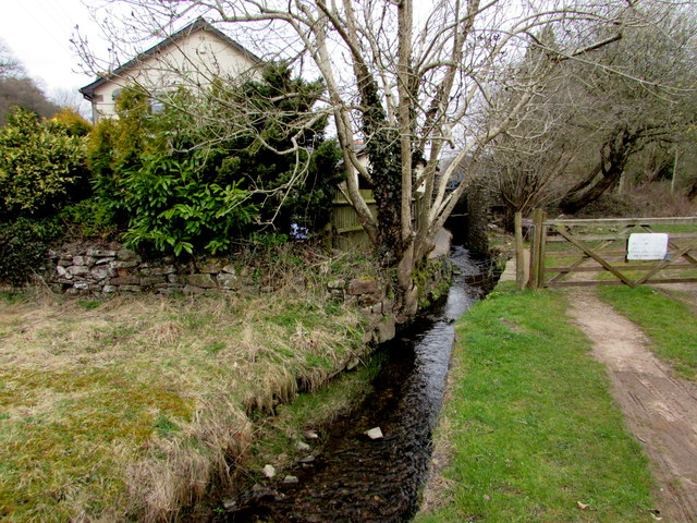
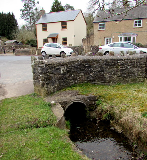
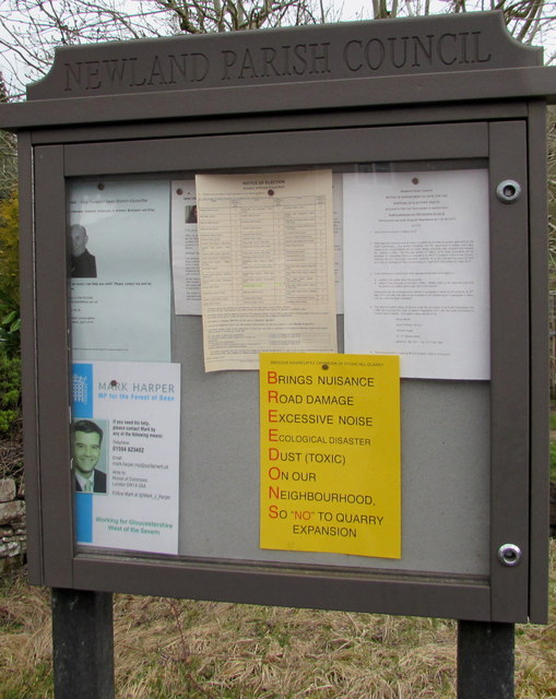
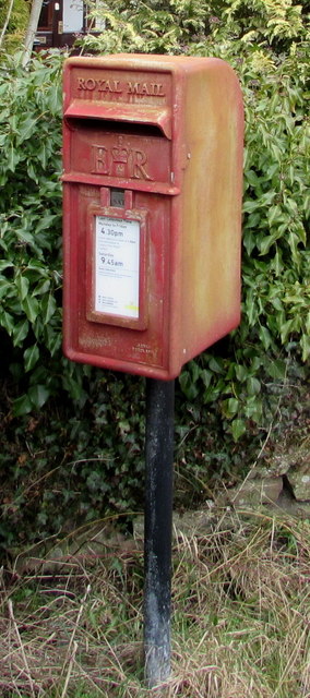
Bircham Wood Images
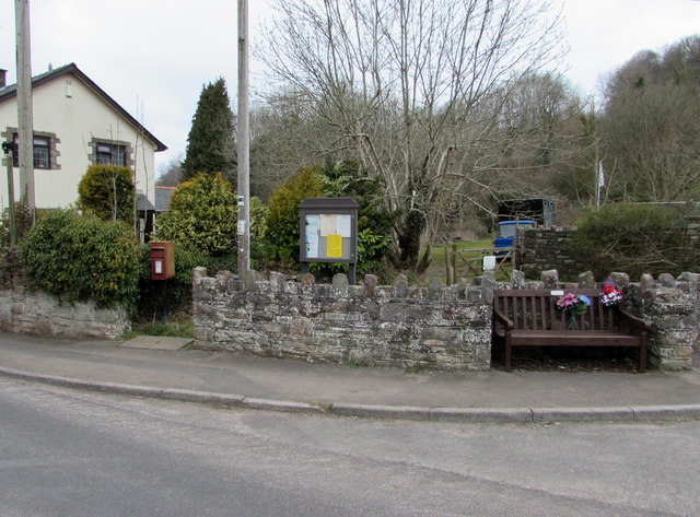
Images are sourced within 2km of 51.785172/-2.6378009 or Grid Reference SO5609. Thanks to Geograph Open Source API. All images are credited.
Bircham Wood is located at Grid Ref: SO5609 (Lat: 51.785172, Lng: -2.6378009)
Administrative County: Gloucestershire
District: Forest of Dean
Police Authority: Gloucestershire
What 3 Words
///clocks.skimmers.hoping. Near Coleford, Gloucestershire
Nearby Locations
Related Wikis

Whitecliff Quarry
Whitecliff Quarry was a quarry in the Forest of Dean, Gloucestershire, England. It was served by the Coleford Railway from 1883 to 1917 and the Severn...

Newland, Gloucestershire
Newland is a village and civil parish in the Forest of Dean in Gloucestershire, England. situated on the east side of the River Wye, 3 miles (5 km) south...
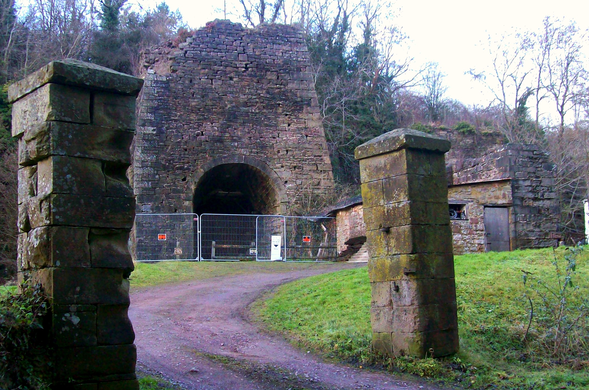
Whitecliff Ironworks
Whitecliff Ironworks, sometimes referred to as Whitecliff Furnace, at Coleford, in the Forest of Dean, Gloucestershire, England, are industrial remains...
Newland railway station
Newland railway station, also known as Cherry Orchard railway station, served the village of Newland, Gloucestershire, England, from 1883 to 1917 on the...
Stowfield quarry
Stowfield quarry is a quarry in the Forest of Dean about 2 km south of Staunton, near Coleford, Gloucestershire, England. == References ==
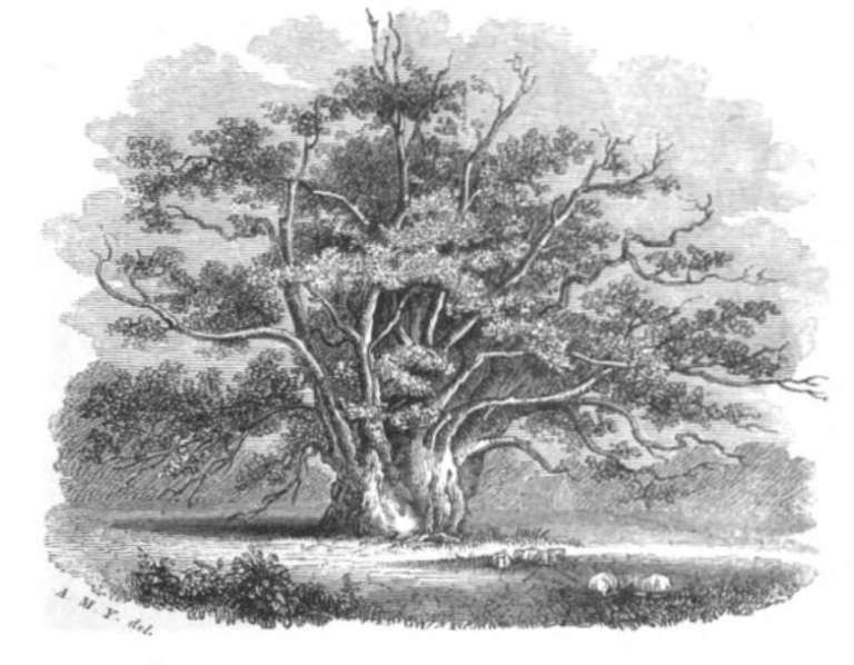
Newland Oak
The Newland Oak was a veteran oak tree in Newland, Gloucestershire in England. Originally part of the ancient woodland of the Forest of Dean, it survived...

Coleford, Gloucestershire
Coleford is a market town in the west of the Forest of Dean, Gloucestershire, England, two miles (3 km) east of the Welsh border and close to the Wye Valley...

Astridge Wood
Astridge Wood (grid reference SO547088) is a 19.42-hectare (48.0-acre) biological Site of Special Scientific Interest in Gloucestershire, England, notified...
Nearby Amenities
Located within 500m of 51.785172,-2.6378009Have you been to Bircham Wood?
Leave your review of Bircham Wood below (or comments, questions and feedback).