Galder's Wood
Wood, Forest in Gloucestershire Forest of Dean
England
Galder's Wood
Galder's Wood is a picturesque forest located in Gloucestershire, England. Spanning over an expansive area, this woodland is renowned for its natural beauty and rich biodiversity. It is nestled in the heart of the Cotswolds, a region famous for its rolling hills and charming villages.
The wood is predominantly composed of deciduous trees, including oak, beech, and ash, which create a dense canopy overhead. This lush vegetation provides a haven for a wide variety of wildlife, including deer, foxes, badgers, and numerous bird species. The forest floor is carpeted with a diverse array of wildflowers and ferns, adding to the vibrant tapestry of colors.
Visitors to Galder's Wood can explore its numerous walking trails, which wind their way through the enchanting forest. These paths offer a chance to immerse oneself in nature and enjoy the tranquility of the surroundings. Along the way, there are several designated picnic areas where one can rest and admire the awe-inspiring scenery.
The wood is also home to a number of ancient trees, some of which are believed to be over 500 years old. These majestic giants stand as a testament to the rich history of the area and provide a sense of awe and reverence.
Galder's Wood is open to the public year-round, and entrance is free. It is easily accessible by car and has ample parking facilities. Whether one is a nature enthusiast, a keen photographer, or simply seeking a peaceful retreat, Galder's Wood is a must-visit destination for anyone in search of natural beauty and tranquility.
If you have any feedback on the listing, please let us know in the comments section below.
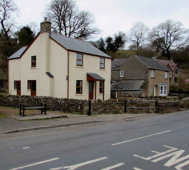
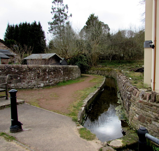
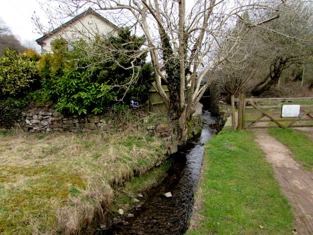
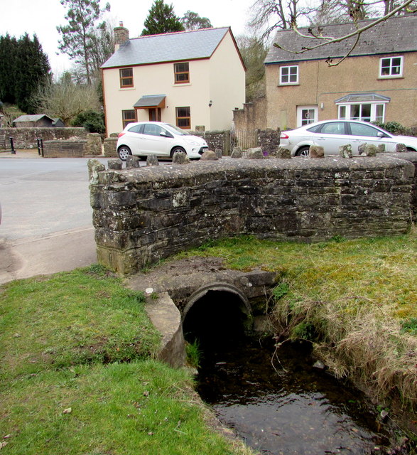
Galder's Wood Images
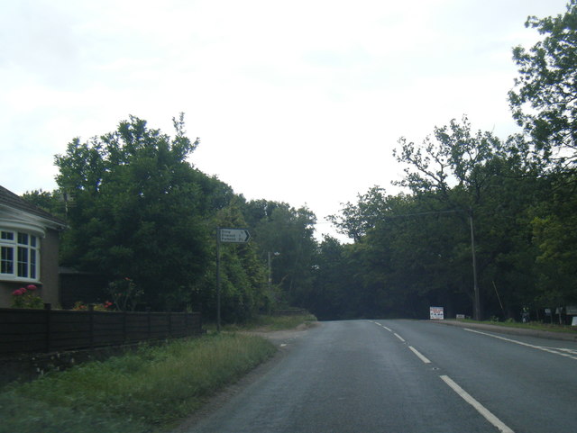
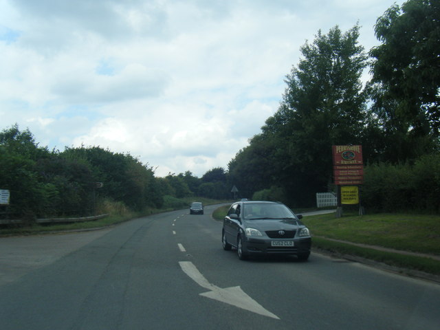
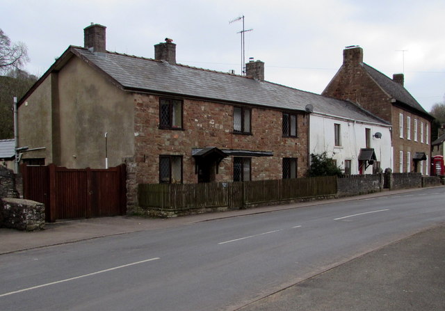
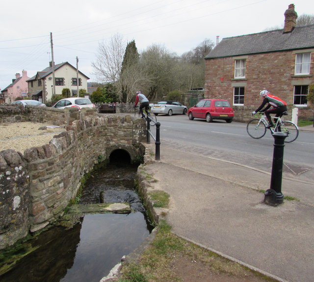
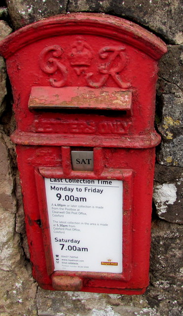
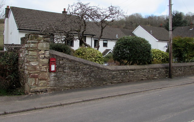
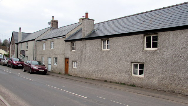
Images are sourced within 2km of 51.784503/-2.6285425 or Grid Reference SO5609. Thanks to Geograph Open Source API. All images are credited.


Galder's Wood is located at Grid Ref: SO5609 (Lat: 51.784503, Lng: -2.6285425)
Administrative County: Gloucestershire
District: Forest of Dean
Police Authority: Gloucestershire
What 3 Words
///party.rattled.motorist. Near Coleford, Gloucestershire
Nearby Locations
Related Wikis
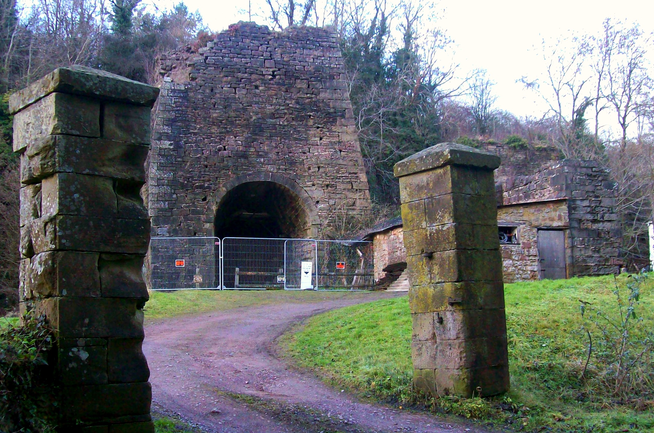
Whitecliff Ironworks
Whitecliff Ironworks, sometimes referred to as Whitecliff Furnace, at Coleford, in the Forest of Dean, Gloucestershire, England, are industrial remains...

Whitecliff Quarry
Whitecliff Quarry was a quarry in the Forest of Dean, Gloucestershire, England. It was served by the Coleford Railway from 1883 to 1917 and the Severn...

Puzzlewood
Puzzlewood (grid reference SO578092) is an ancient woodland site and tourist attraction, near Coleford in the Forest of Dean, Gloucestershire, England...
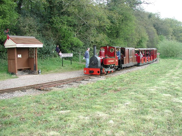
Rookwood railway station
Rookwood railway station is a request stop on the 15 in (381 mm) gauge Perrygrove Railway. The railway was opened in 1996 and is a heritage railway. There...

Coleford, Gloucestershire
Coleford is a market town in the west of the Forest of Dean, Gloucestershire, England, two miles (3 km) east of the Welsh border and close to the Wye Valley...
Heywood railway station (Perrygrove Railway)
Heywood railway station is a request stop on the 15 in (381 mm) gauge Perrygrove Railway. The line was opened in 1996 and is a heritage railway. There...
Perrygrove Railway
Perrygrove Railway is a heritage railway of 15 in (381 mm) gauge. It is located at Perrygrove Farm in the Forest of Dean, near Coleford, Gloucestershire...
Coleford railway station (Severn and Wye Railway)
Coleford (Severn and Wye) railway station is one of two former stations that served the town of Coleford, Gloucestershire, England. The station was the...
Nearby Amenities
Located within 500m of 51.784503,-2.6285425Have you been to Galder's Wood?
Leave your review of Galder's Wood below (or comments, questions and feedback).