Countess Coppice
Wood, Forest in Dorset
England
Countess Coppice
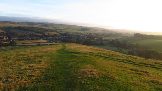
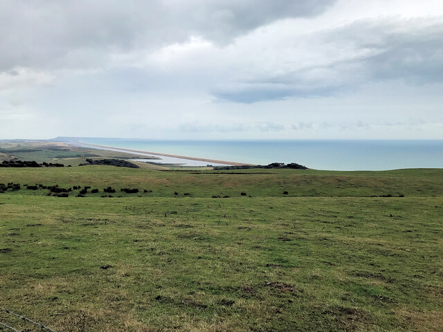
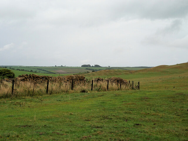
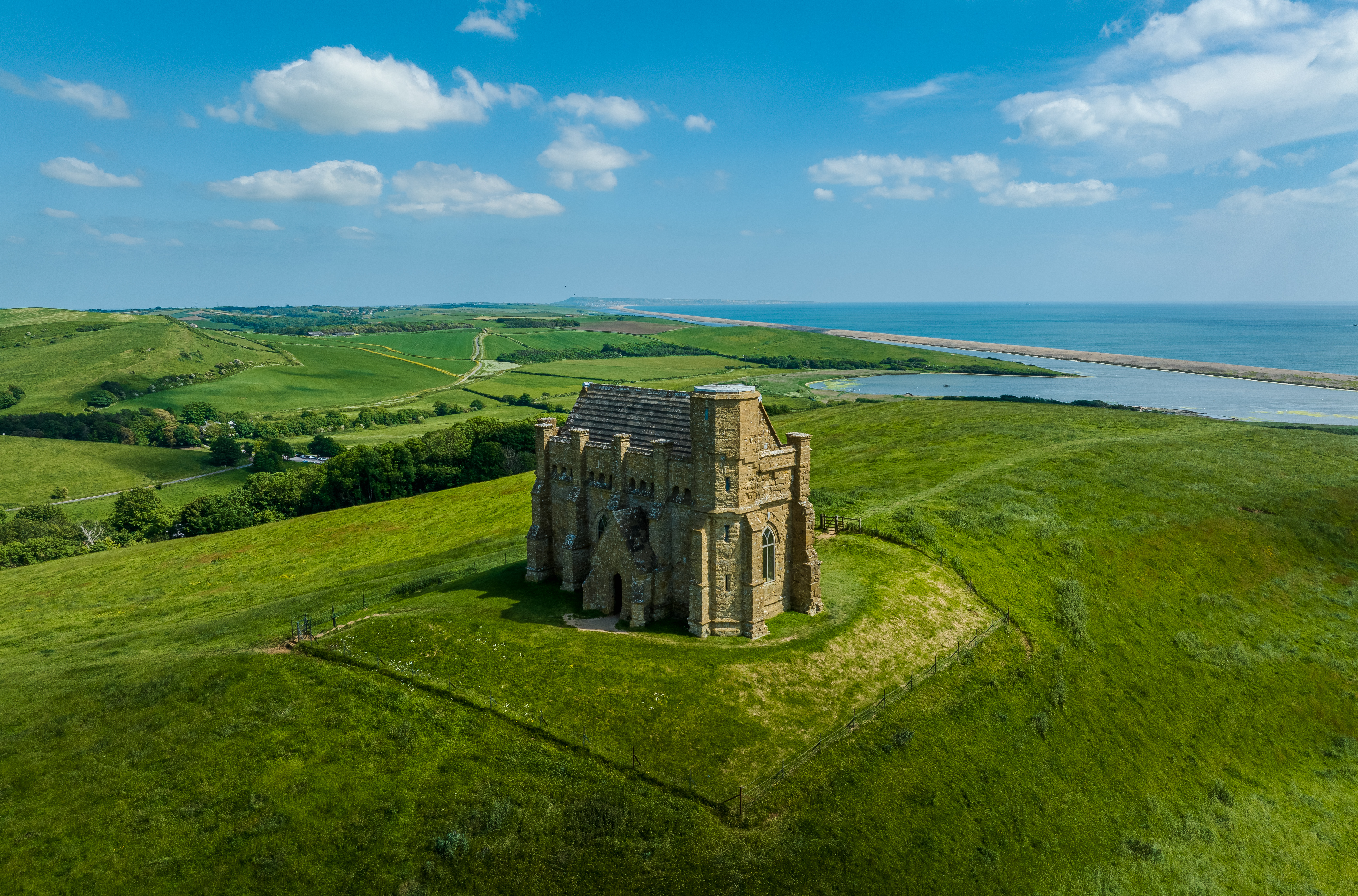
Countess Coppice is a picturesque woodland located in the county of Dorset, England. Covering an area of approximately 100 acres, this enchanting forest is known for its diverse range of tree species, vibrant wildlife, and tranquil atmosphere.
The woodland is predominantly composed of broadleaf trees, including oak, beech, and ash, which create a dense canopy overhead. The lush undergrowth is filled with an array of flora, such as bluebells, primroses, and wild garlic, which bloom in vibrant colors during the spring season.
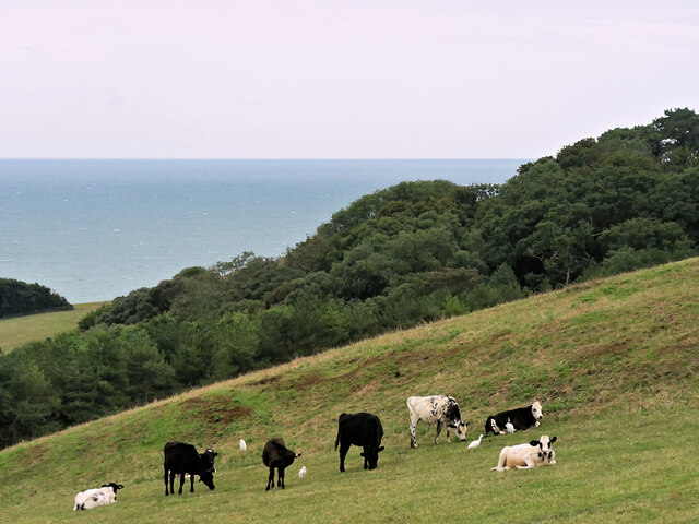
Countess Coppice is home to a variety of wildlife, making it a popular spot for nature enthusiasts and birdwatchers. Visitors may catch a glimpse of rare species such as the red kite, buzzard, and tawny owl. Squirrels dart between the branches, while foxes, badgers, and deer can be spotted roaming the forest floor.
The woodland offers several walking trails, providing visitors with the opportunity to explore its natural beauty at their own pace. These trails are well-maintained and accessible to all, offering a peaceful retreat for individuals seeking solace in nature.
Countess Coppice is also a designated Site of Special Scientific Interest (SSSI), recognizing its ecological importance and biodiversity. The forest plays a crucial role in preserving the local ecosystem and provides a habitat for a wide range of plant and animal species.
Overall, Countess Coppice is a remarkable woodland that offers a captivating escape into nature. Whether one seeks solitude, adventure, or an opportunity to appreciate the wonders of the natural world, this forest is sure to leave a lasting impression on visitors.
If you have any feedback on the listing, please let us know in the comments section below.
Countess Coppice Images
Images are sourced within 2km of 50.66494/-2.6225249 or Grid Reference SY5685. Thanks to Geograph Open Source API. All images are credited.
Countess Coppice is located at Grid Ref: SY5685 (Lat: 50.66494, Lng: -2.6225249)
Unitary Authority: Dorset
Police Authority: Dorset
What 3 Words
///slab.keen.typically. Near Chickerell, Dorset
Nearby Locations
Related Wikis

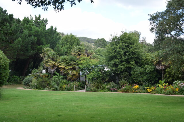
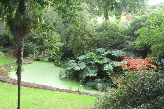
Abbotsbury Subtropical Gardens
The Abbotsbury Subtropical Gardens is a visitor attraction near the village of Abbotsbury, Dorset, southern England. They are Grade I listed in the National...
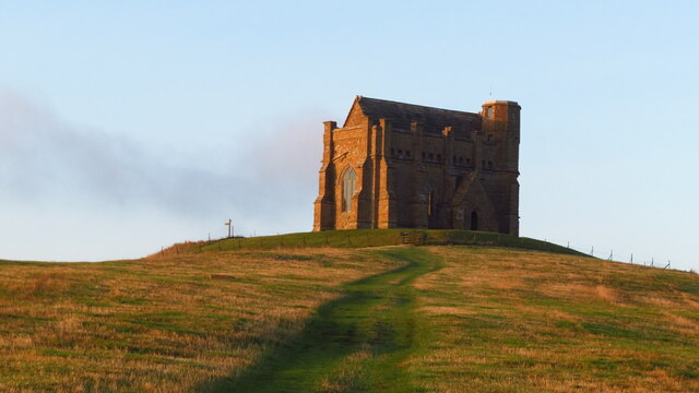
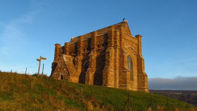
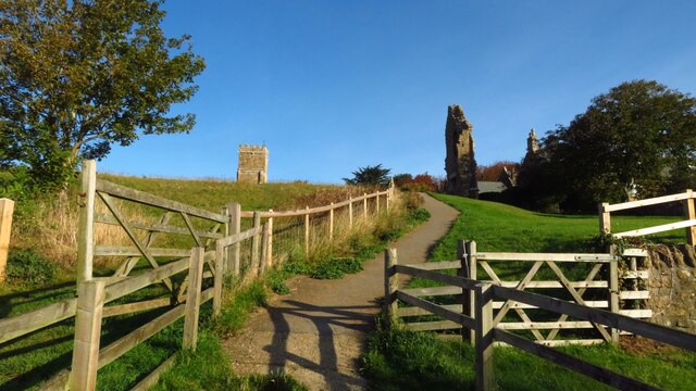
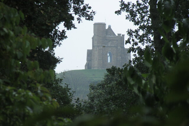
St Catherine's Chapel, Abbotsbury
St Catherine's Chapel is a small chapel situated on a hill above the village of Abbotsbury in Dorset, England. It is dedicated to Saint Catherine. It is...

Abbotsbury Blind Lane
Abbotsbury Blind Lane (grid reference SY576856) is a 0.4 hectares (0.99 acres) geological Site of Special Scientific Interest in Dorset, notified in 1986...

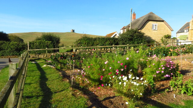
Abbotsbury
Abbotsbury is a village and civil parish in the English county of Dorset. The settlement is in the unitary authority of Dorset about 1 mile (1.6 km) inland...
Nearby Amenities
Located within 500m of 50.66494,-2.6225249Have you been to Countess Coppice?
Leave your review of Countess Coppice below (or comments, questions and feedback).