Knolls Withy Beds
Wood, Forest in Dorset
England
Knolls Withy Beds
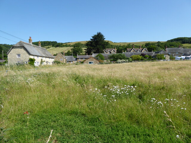
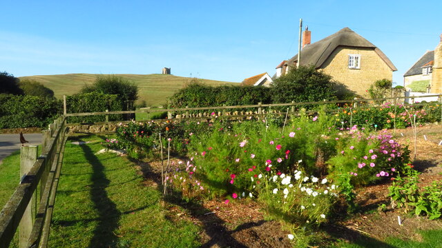
Knolls Withy Beds is a picturesque woodland area located in Dorset, England. Nestled within the county's lush green landscape, this woodland is renowned for its withy beds, which are areas where willow trees are cultivated for their flexible branches, known as withies.
The woodland is characterized by its dense canopy of mostly deciduous trees, including oak, ash, and birch. These trees provide a rich habitat for a variety of wildlife, including birds, squirrels, and small mammals. The forest floor is covered in a thick layer of fallen leaves, creating a natural carpet that adds to the beauty and tranquility of the area.
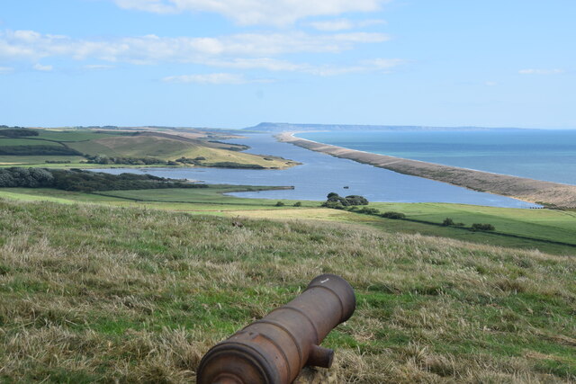
Knolls Withy Beds is also home to a small stream that meanders through the woodland, adding to its charm. The stream is lined with moss-covered rocks and is a popular spot for visitors to relax and enjoy the peaceful surroundings.
The withy beds themselves are a unique feature of the woodland. They are meticulously maintained and harvested by local craftsmen who use the flexible withies to create traditional baskets and other woven products. The withy beds are a testament to the long-standing tradition of willow cultivation in the area.
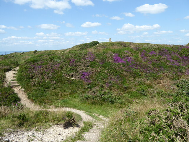
Visitors to Knolls Withy Beds can enjoy peaceful walks along the well-maintained trails that wind through the woodland. The area is particularly picturesque during the spring and summer months when the trees are in full bloom, and the woodland is alive with vibrant colors and the sounds of birdsong.
Overall, Knolls Withy Beds in Dorset is a haven of natural beauty and tranquility, offering visitors the chance to immerse themselves in the captivating charm of an ancient woodland.
If you have any feedback on the listing, please let us know in the comments section below.
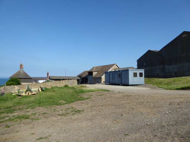
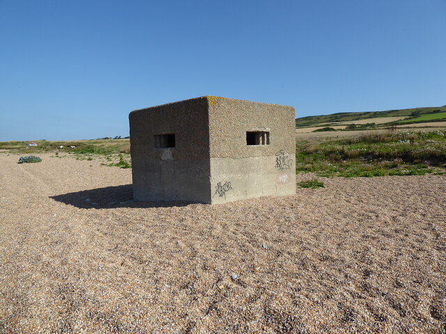
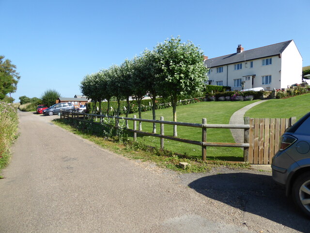
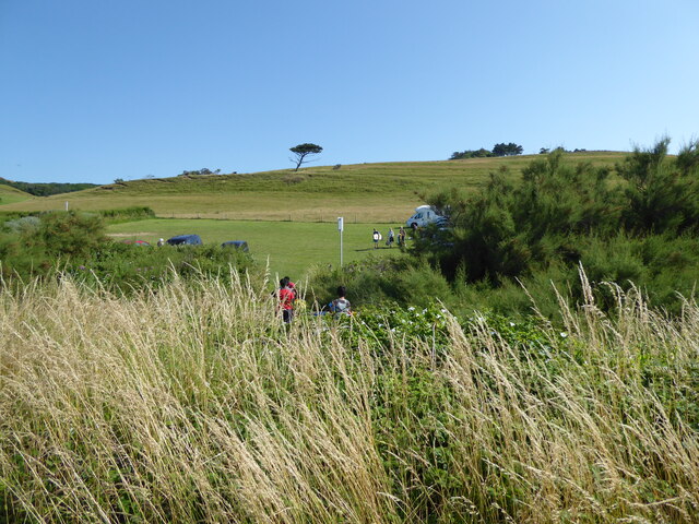
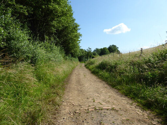
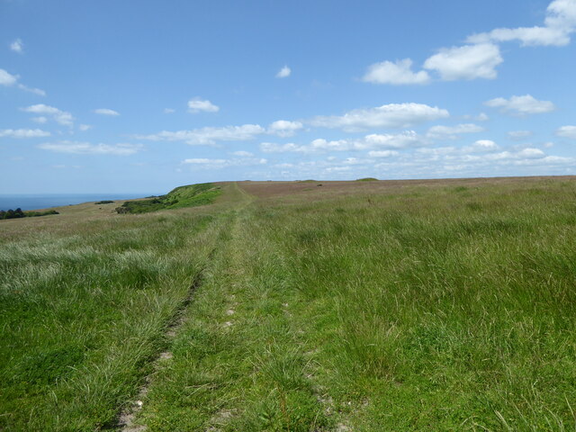
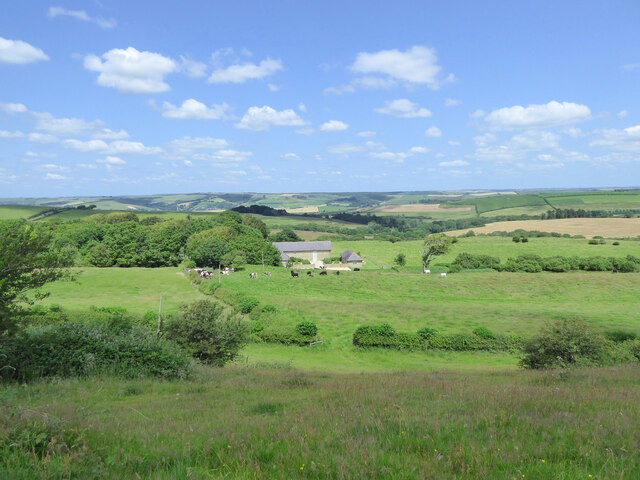
Knolls Withy Beds Images
Images are sourced within 2km of 50.670805/-2.6138854 or Grid Reference SY5685. Thanks to Geograph Open Source API. All images are credited.

Knolls Withy Beds is located at Grid Ref: SY5685 (Lat: 50.670805, Lng: -2.6138854)
Unitary Authority: Dorset
Police Authority: Dorset
What 3 Words
///exotic.deputy.elevates. Near Chickerell, Dorset
Nearby Locations
Related Wikis

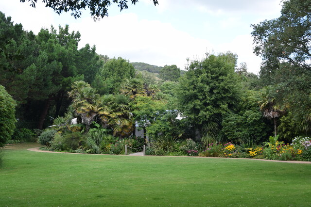
Abbotsbury Subtropical Gardens
The Abbotsbury Subtropical Gardens is a visitor attraction near the village of Abbotsbury, Dorset, southern England. They are Grade I listed in the National...

Abbotsbury Blind Lane
Abbotsbury Blind Lane (grid reference SY576856) is a 0.4 hectares (0.99 acres) geological Site of Special Scientific Interest in Dorset, notified in 1986...

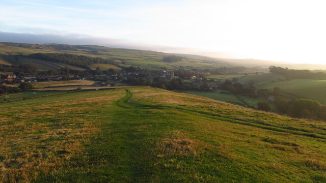
Abbotsbury
Abbotsbury is a village and civil parish in the English county of Dorset. The settlement is in the unitary authority of Dorset about 1 mile (1.6 km) inland...
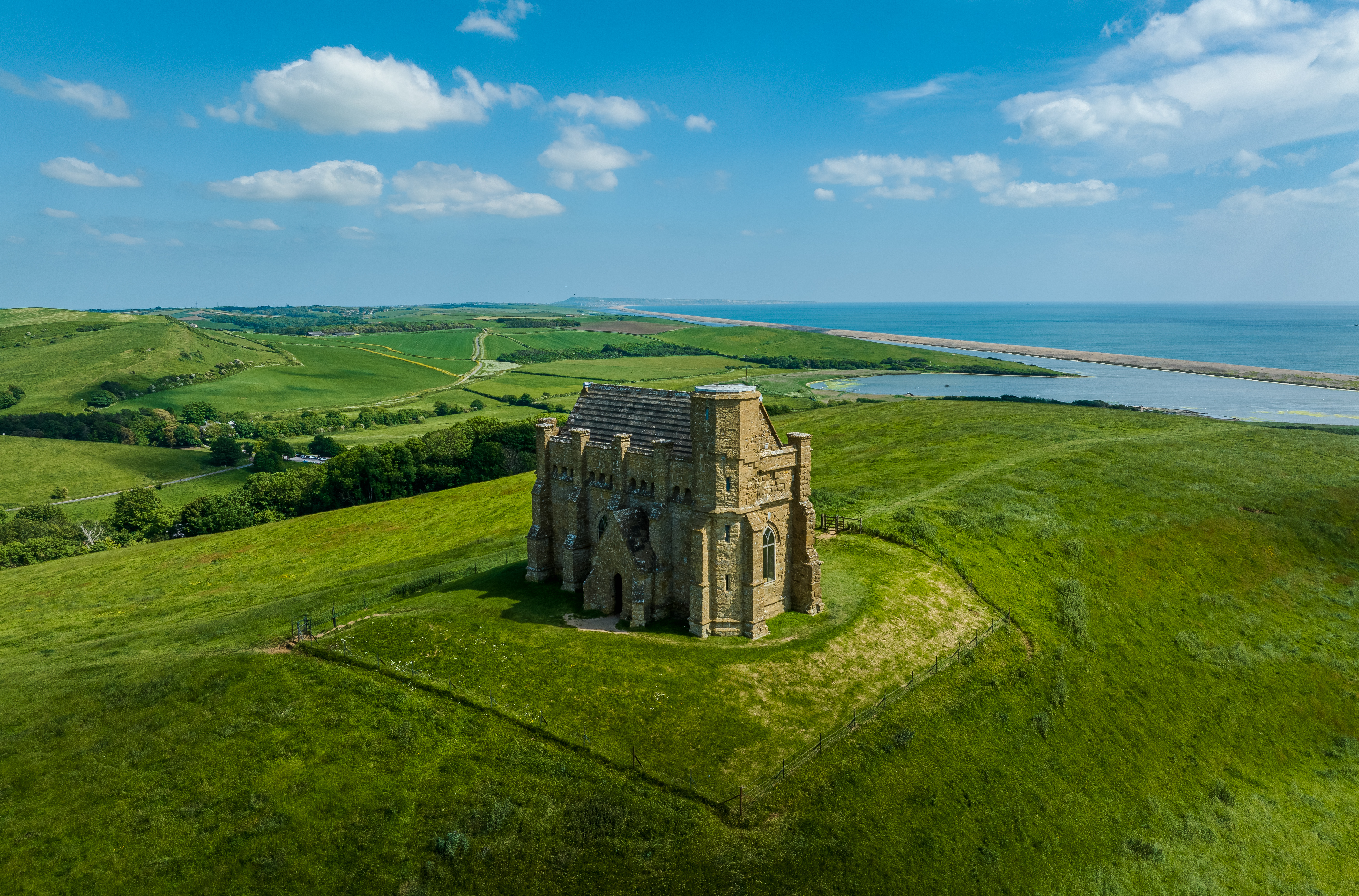
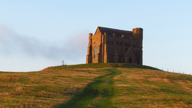
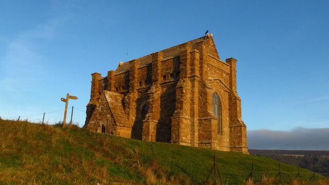
St Catherine's Chapel, Abbotsbury
St Catherine's Chapel is a small chapel situated on a hill above the village of Abbotsbury in Dorset, England. It is dedicated to Saint Catherine. It is...

St Nicholas' Church, Abbotsbury
St Nicholas' Church is a Church of England church in Abbotsbury, Dorset, England. The earliest parts of the church date to the 14th century origin, with...
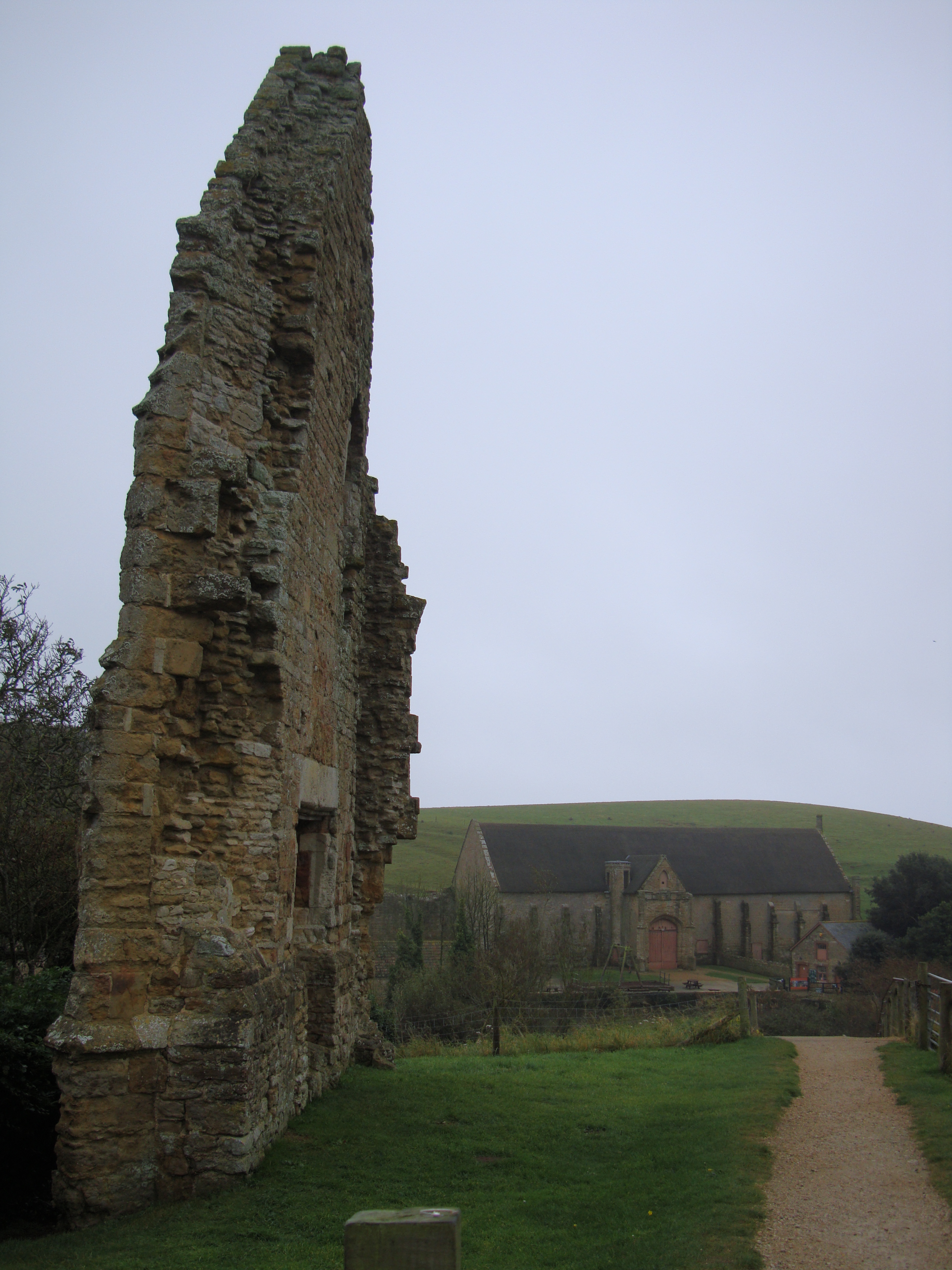
Abbotsbury Abbey
Abbotsbury Abbey, dedicated to Saint Peter, was a Benedictine monastery in the village of Abbotsbury in Dorset, England. The abbey was founded in the 11th...

Abbotsbury Castle
Abbotsbury Castle is an Iron Age hillfort in south west Dorset, England, situated on Wears Hill above the village of Abbotsbury, seven miles west of Dorchester...

Abbotsbury railway station
Abbotsbury was the terminus of the Abbotsbury branch railway in the west of the English county of Dorset. Serving the village of Abbotsbury, it was sited...
Nearby Amenities
Located within 500m of 50.670805,-2.6138854Have you been to Knolls Withy Beds?
Leave your review of Knolls Withy Beds below (or comments, questions and feedback).