Combe Bottom Coppice

Wood, Forest in Dorset

England

Combe Bottom Coppice

Hills above Kingcombe with unusual cloud formation
Hills above Kingcombe with unusual cloud formation Credit: Maurice D Budden

Combe Bottom Coppice is a picturesque woodland located in the county of Dorset, England. Covering an area of approximately 100 hectares, this ancient forest is nestled within the rolling hills of the Cranborne Chase Area of Outstanding Natural Beauty.

The woodland is predominantly composed of broadleaf trees such as oak, beech, and ash, creating a diverse and vibrant ecosystem. In spring, the forest floor comes alive with a colorful display of wildflowers, including bluebells, primroses, and wood anemones. These flowers attract a variety of insect species, including butterflies and bees, making the coppice an important habitat for biodiversity.

Combe Bottom Coppice has a fascinating history, dating back centuries. It was traditionally managed as a coppice woodland, where trees were periodically cut down to ground level to encourage the growth of new shoots. This practice provided a sustainable source of timber and fuel for the local community. Today, the woodland is managed by the Forestry Commission, who aim to preserve its natural beauty while also promoting sustainable forestry practices.

The coppice is a popular destination for nature enthusiasts, walkers, and photographers. Several well-marked trails crisscross the woodland, offering visitors the opportunity to explore the diverse landscape and observe its abundant wildlife. Additionally, the forest provides a tranquil setting for picnics and relaxation, with several designated picnic areas scattered throughout the site.

Combe Bottom Coppice is not only a valuable ecological resource but also a place of natural beauty and cultural significance. Its rich biodiversity and unique history make it a cherished gem within the Dorset countryside.

If you have any feedback on the listing, please let us know in the comments section below.

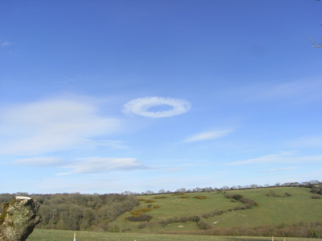
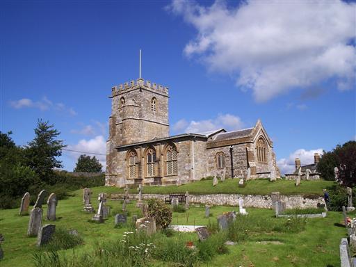
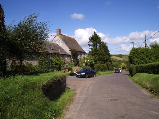
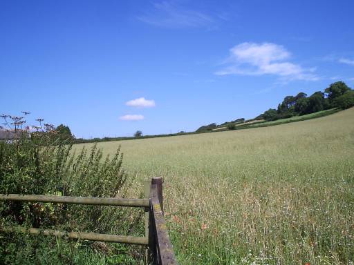
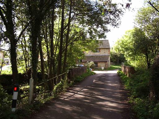
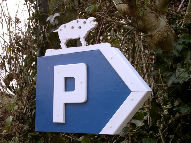
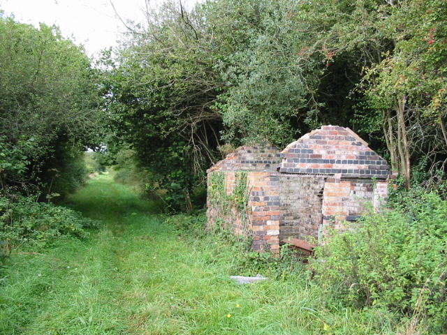
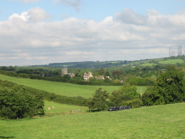
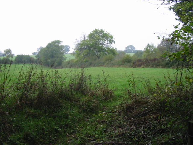
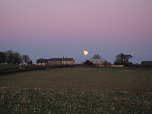
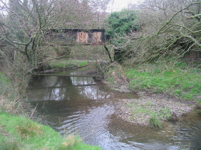
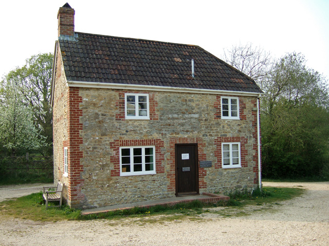
Combe Bottom Coppice Images

Images are sourced within 2km of 50.783701/-2.6154057 or Grid Reference SY5698. Thanks to Geograph Open Source API. All images are credited.

Hills above Kingcombe with unusual cloud formation
The church of St Andrew and St Peter - Toller Porcorum For more information check here :-
<span class="nowrap"><a title="http://toller.porcorum.googlepages.com/more" rel="nofollow ugc noopener" href="http://toller.porcorum.googlepages.com/more">Link</a><img style="margin-left:2px;" alt="External link" title="External link - shift click to open in new window" src="https://s1.geograph.org.uk/img/external.png" width="10" height="10"/></span>
The church of St Andrew and St Peter - Toller Porcorum
For more information check here :- LinkExternal link
Barton Farm - Toller Porcorum
Popes Hill - Toller Porcorum
Lower Kingcombe - The Kingcombe Centre <span class="nowrap"><a title="http://www.kingcombe-centre.demon.co.uk/" rel="nofollow ugc noopener" href="http://www.kingcombe-centre.demon.co.uk/">Link</a><img style="margin-left:2px;" alt="External link" title="External link - shift click to open in new window" src="https://s1.geograph.org.uk/img/external.png" width="10" height="10"/></span>
Lower Kingcombe - The Kingcombe Centre
Locally themed parking sign in Toller Porcorum The village name "Toller Porcorum" literally translates as Valley of the Pigs. Presumably that explains why this home-made car park direction sign next to the parish church has a carved pig on top of it.
Locally themed parking sign in Toller Porcorum
The village name "Toller Porcorum" literally translates as Valley of the Pigs. Presumably that explains why this home-made car park direction sign next to the parish church has a carved pig on top of it.
Course of disused railway and building between Toller and Powerstock on Maiden Newton to Bridport branch line, which closed in 1975
Course of disused railway and building
between Toller and Powerstock on Maiden Newton to Bridport branch line, which closed in 1975
Farmland and church, Toller Porcorum
Fields near Mary's Well
Lancombe Farm
Lancombe Farm
Disused railway bridge and River Hooke East of Toller on the Maiden Newton to Bridport branch line, which closed in 1975.
Disused railway bridge and River Hooke
East of Toller on the Maiden Newton to Bridport branch line, which closed in 1975.
Dorset Wildlife Trust Information Centre at Lower Kingcombe The Kingcombe Meadows site is managed by the Dorset Wildlife Trust, and more information is available from this website: <span class="nowrap"><a title="http://www.kingcombe.org/about_kingcombe/intro.aspx" rel="nofollow ugc noopener" href="http://www.kingcombe.org/about_kingcombe/intro.aspx">Link</a><img style="margin-left:2px;" alt="External link" title="External link - shift click to open in new window" src="https://s1.geograph.org.uk/img/external.png" width="10" height="10"/></span>
Dorset Wildlife Trust Information Centre at Lower Kingcombe
The Kingcombe Meadows site is managed by the Dorset Wildlife Trust, and more information is available from this website: LinkExternal link
Toller Fratrum: parish church of St. Basil The lovely and interesting little church in the tiny parish of Toller Fratrum.
Toller Fratrum: parish church of St. Basil
The lovely and interesting little church in the tiny parish of Toller Fratrum.
Twelfth century font The font, with its odd figures, in Toller Fratrum church.
Twelfth century font
The font, with its odd figures, in Toller Fratrum church.
Derelict Cottages west of Toller Porcorum
Venery Lodge - Clift
Toller Fratrum: cottage and postbox An idyllic rural scene in this tiny village.
Toller Fratrum: cottage and postbox
An idyllic rural scene in this tiny village.
Toller Porcorum: parish church of St. Peter & St. Andrew Toller Porcorum translates from Latin as 'the valley of the pigs'.
Toller Porcorum: parish church of St. Peter & St. Andrew
Toller Porcorum translates from Latin as 'the valley of the pigs'.
Show me another place!

Combe Bottom Coppice is located at Grid Ref: SY5698 (Lat: 50.783701, Lng: -2.6154057)

Unitary Authority: Dorset

Police Authority: Dorset

What 3 Words

///shorter.raven.kindest. Near Maiden Newton, Dorset

Related Wikis

Have you been to Combe Bottom Coppice?

Leave your review of Combe Bottom Coppice below (or comments, questions and feedback).