The Rookery
Wood, Forest in Dorset
England
The Rookery
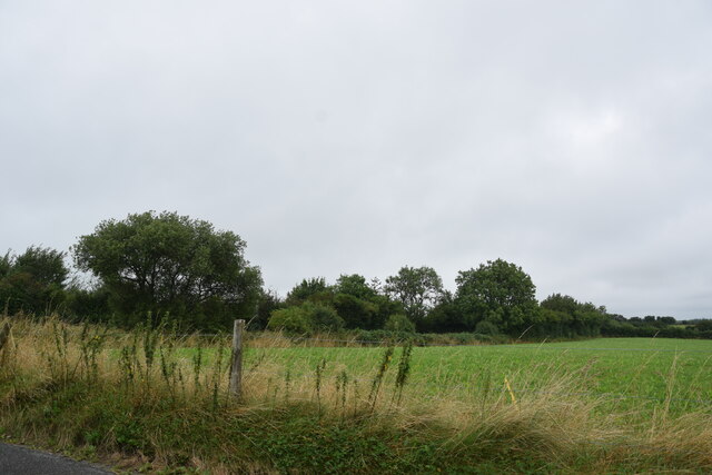
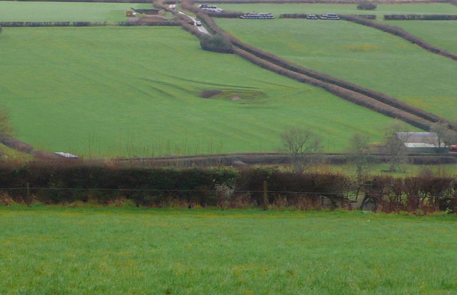
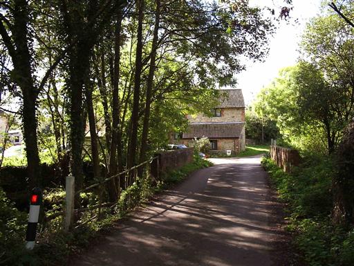
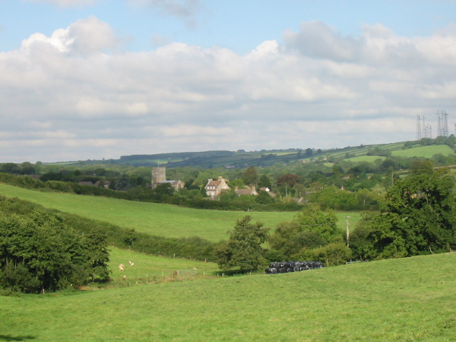
The Rookery in Dorset is a charming woodland located in the southern region of England. Nestled amidst the picturesque countryside, this forested area covers a vast expanse of approximately 100 acres. It is renowned for its serene beauty and diverse range of flora and fauna.
The Rookery is predominantly composed of deciduous trees, including oak, beech, and birch, which create a lush green canopy during the summer months. These trees provide a habitat for various woodland creatures, such as squirrels, deer, and a wide array of bird species, including rooks, from which the forest derives its name. The tranquil atmosphere is further enhanced by the gentle rustling of leaves and the occasional chirping of birds.
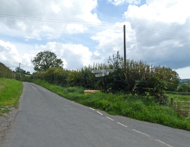
Within the forest, there are several well-maintained walking trails that allow visitors to explore its natural wonders. These paths wind through the woodland, leading to hidden clearings, babbling brooks, and enchanting glades. The Rookery is a popular destination for nature enthusiasts, hikers, and photographers, who are drawn to its serene ambiance and stunning vistas.
Additionally, the forest offers a range of recreational activities for visitors of all ages. Picnic areas and designated camping spots provide opportunities for families and friends to enjoy the outdoors. The Rookery is also home to a small visitor center that provides information about the local ecosystem and organizes educational programs and guided tours.
Overall, The Rookery in Dorset is a captivating woodland that offers a peaceful escape from the hustle and bustle of everyday life. Its natural beauty and diverse wildlife make it a must-visit destination for those seeking tranquility and a deeper connection with nature.
If you have any feedback on the listing, please let us know in the comments section below.
The Rookery Images
Images are sourced within 2km of 50.788214/-2.6239769 or Grid Reference SY5698. Thanks to Geograph Open Source API. All images are credited.


The Rookery is located at Grid Ref: SY5698 (Lat: 50.788214, Lng: -2.6239769)
Unitary Authority: Dorset
Police Authority: Dorset
What 3 Words
///whirlpool.enthused.reform. Near Maiden Newton, Dorset
Nearby Locations
Related Wikis

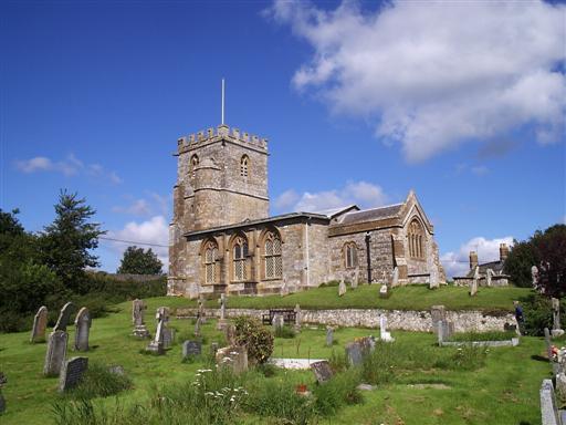
Toller Porcorum
Toller Porcorum () is a village and civil parish in Dorset, England, situated in the Toller valley 10 miles (16 km) northwest of Dorchester. In the 2011...

Toller railway station
Toller was a railway station on the Bridport Railway in the west of the English county of Dorset. The station served the village of Toller Porcorum. Opened...

West Dorset
West Dorset was a local government district in Dorset, England. The district was formed on 1 April 1974 under the Local Government Act 1972, and was a...

West Dorset (UK Parliament constituency)
West Dorset is a constituency represented in the House of Commons of the UK Parliament since 2019 by Chris Loder, a Conservative. == History == The seat...
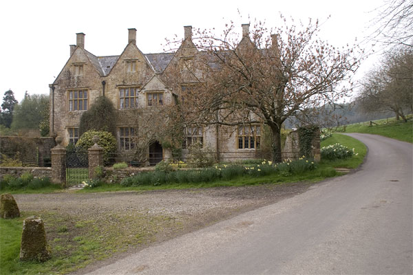
Wraxall Manor
Wraxall Manor is a grade II* listed manor house in Wraxall, Dorset, England. The house was built in about 1630, probably for William Lawrence. == References... ==

Wraxall, Dorset
Wraxall is a civil parish in the English county of Dorset, consisting of the two hamlets Higher Wraxall and Lower Wraxall. It is situated in a valley in...
Toller Fratrum
Toller Fratrum () is a very small village and civil parish in Dorset, England, near Maiden Newton, anciently in Tollerford Hundred. The name is taken from...
Chilfrome
Chilfrome () is a small village and civil parish in the county of Dorset in southwest England. It lies in the Dorset unitary authority administrative area...
Nearby Amenities
Located within 500m of 50.788214,-2.6239769Have you been to The Rookery?
Leave your review of The Rookery below (or comments, questions and feedback).