Stretche's Gorse

Wood, Forest in Cheshire

England

Stretche's Gorse

A56 crossing M56 at Sutton Weaver
A56 crossing M56 at Sutton Weaver Credit: Alpin Stewart

Stretche's Gorse is a small woodland located in Cheshire, England. It covers an area of approximately 20 acres and is situated near the village of Stretton. The woodland is predominantly composed of gorse, which is a spiny evergreen shrub native to the British Isles.

Visitors to Stretche's Gorse can expect to find a diverse range of plant and animal species within the woodland. The gorse itself provides a habitat for various bird species, including the stonechat, linnet, and yellowhammer. In addition, the dense vegetation offers shelter for small mammals such as rabbits and voles.

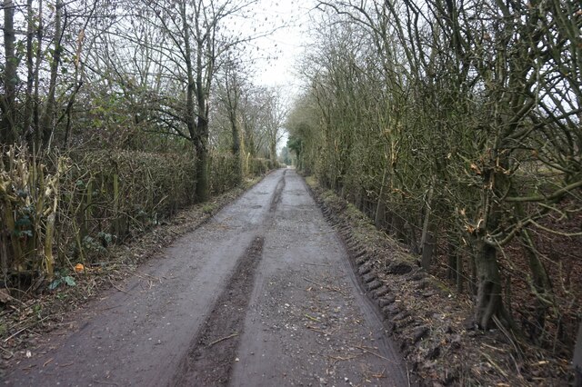
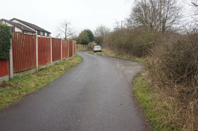
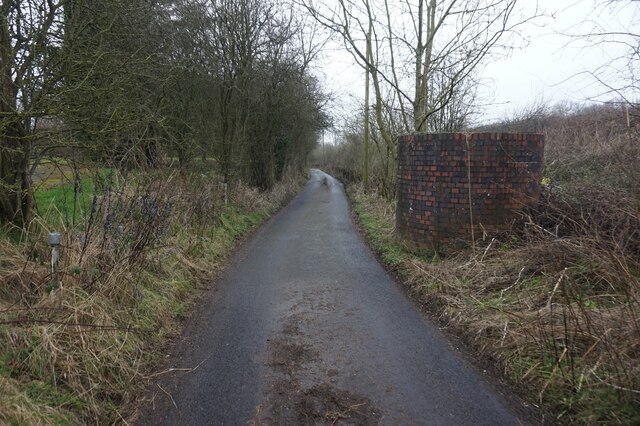
The woodland is crisscrossed by a network of footpaths, allowing visitors to explore the area and enjoy its natural beauty. These paths lead through the gorse thickets and also pass by patches of mixed woodland, consisting of trees such as oak, birch, and rowan. This mixture of habitats creates a rich and varied ecosystem, supporting a wide range of flora and fauna.

Stretche's Gorse is a popular destination for nature enthusiasts and walkers. Its peaceful and tranquil atmosphere, combined with its scenic beauty, make it an ideal place for a leisurely stroll or a picnic. The woodland is also a designated Local Nature Reserve, highlighting its importance for conservation and biodiversity.

Overall, Stretche's Gorse is a charming woodland in Cheshire, offering a delightful escape into nature for visitors of all ages.

If you have any feedback on the listing, please let us know in the comments section below.

Stretche's Gorse Images

Images are sourced within 2km of 53.307929/-2.6603792 or Grid Reference SJ5679. Thanks to Geograph Open Source API. All images are credited.
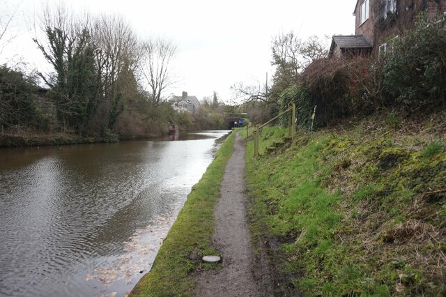
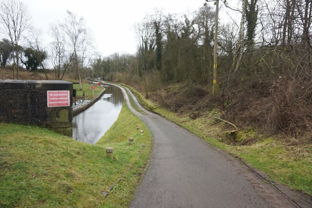
A56 crossing M56 at Sutton Weaver
Bridges crossing M56
Flooded land, west of Beckett's Wood On the east bank of the Weston Canal [Weaver Navigation].
Flooded land, west of Beckett's Wood
On the east bank of the Weston Canal [Weaver Navigation].
Book share at Preston Brook Alongside the Bridgewater canal.
Book share at Preston Brook
Alongside the Bridgewater canal.
Bridgewater canal towards Preston Brook Tunnel
Bridgewater canal at Preston Brook Tunnel This is the start of the Trent & Mersey canal, only 92 miles to Shardlow.
Bridgewater canal at Preston Brook Tunnel
This is the start of the Trent & Mersey canal, only 92 miles to Shardlow.
Mile post zero on the Trent & Mersey canal
Tunnel Top North, Trent & Mersey Canal
Air Shaft, Tunnel Top North, Trent & Mersey Canal
Tunnel Top North, Trent & Mersey Canal
Postbox on Northwich Road, Dutton
The former Tunnel Top public house, Dutton
Tunnel Top South, Trent & Mersey Canal
Trent & Mersey Canal at Preston Brook Tunnel
Show me another place!

Stretche's Gorse is located at Grid Ref: SJ5679 (Lat: 53.307929, Lng: -2.6603792)

Unitary Authority: Cheshire West and Chester

Police Authority: Cheshire

What 3 Words

///drummers.squeaking.pushes. Near Halton, Cheshire

Related Wikis

Aston-by-Sutton

Aston (or Aston-by-Sutton) is a village and civil parish in the unitary authority of Cheshire West and Chester and the ceremonial county of Cheshire, England...

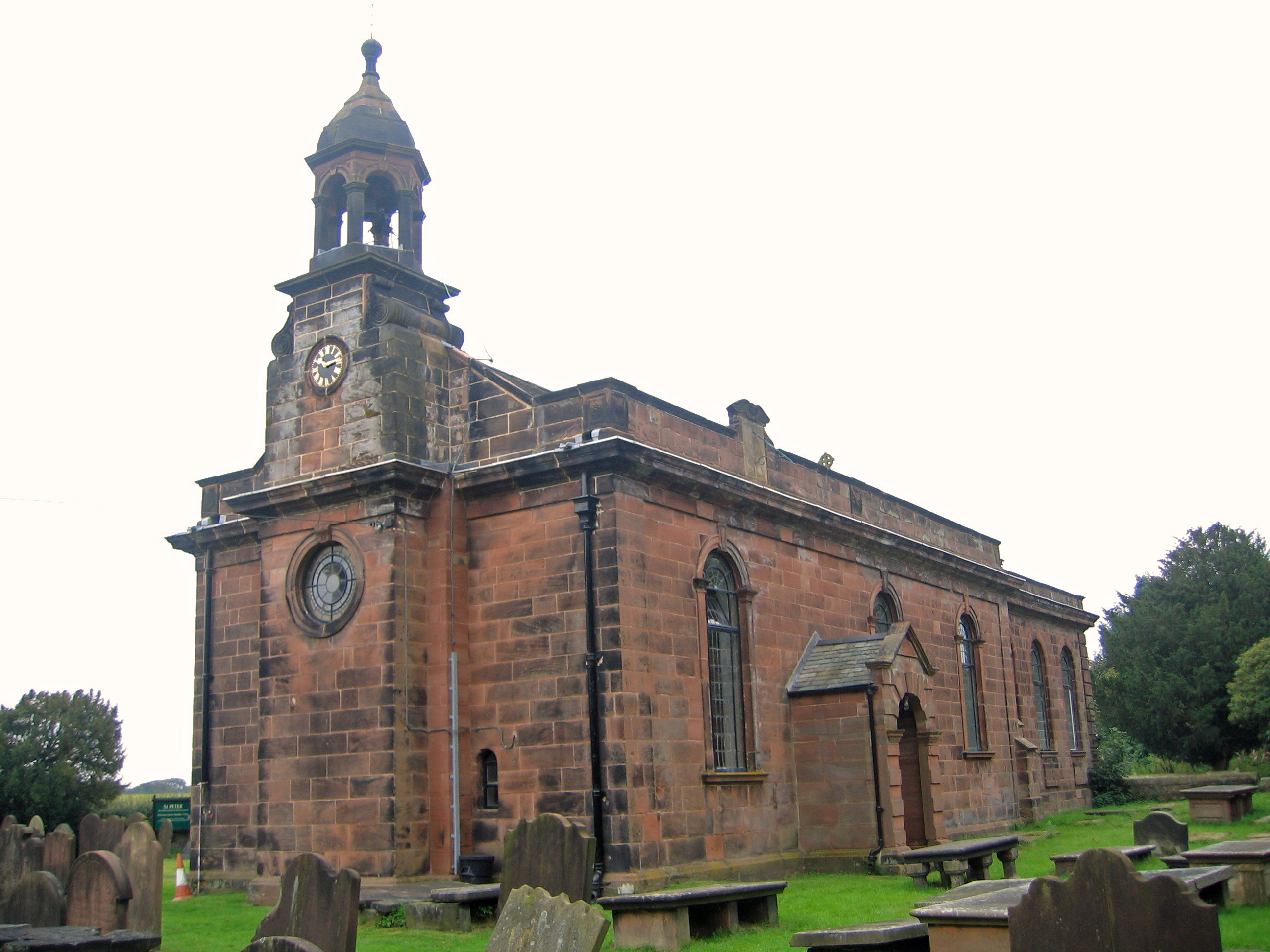
St Peter's Church, Aston-by-Sutton

St Peter's Church is in the small hamlet of Aston-by-Sutton, Cheshire near to the town of Runcorn. The church is recorded in the National Heritage List...

Runcorn Linnets F.C.

Runcorn Linnets F.C. are an English football club based in Runcorn, Cheshire. The club currently plays in the Northern Premier League Division One West...
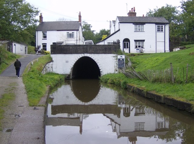
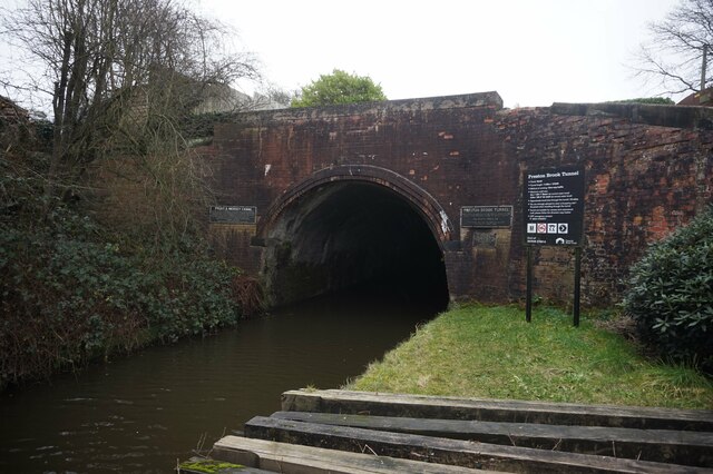
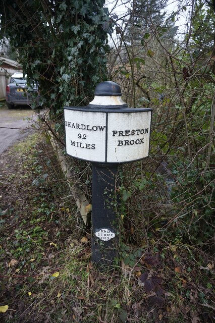
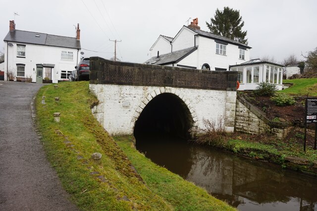
Preston Brook

Preston Brook is a village and civil parish in the borough of Halton, a unitary authority in the ceremonial county of Cheshire in North West England. It...

Nearby Amenities

Located within 500m of 53.307929,-2.6603792
Power: tower
Lat/Long: 53.3087835/-2.6663836
Power: tower
Lat/Long: 53.3050651/-2.6551914
Bus Stop
Preston Brook, Busway (Whitehouse) / Cearns & Brown
Bus: yes
Naptan AtcoCode: 068000000031
Naptan Bearing: NE
Naptan CommonName: Cearns & Brown
Naptan Landmark: Cearns & Brown
Naptan LocalityName: Preston Brook
Naptan NaptanCode: haladajw
Naptan ShortCommonName: Cearns & Brown
Naptan Street: Busway (Whitehouse)
Public Transport: platform
Source: naptan_import
Lat/Long: 53.3120231/-2.659389
Barrier: yes
Lat/Long: 53.3115328/-2.6578235
Give Way
Direction: forward
Lat/Long: 53.3111499/-2.6583405
Give Way
Direction: backward
Lat/Long: 53.3111435/-2.6582454
Give Way
Direction: backward
Lat/Long: 53.3117056/-2.6594149
Give Way
Direction: forward
Lat/Long: 53.3117706/-2.6593903
Bus Stop
Aston, Aston Lane / Rose Cottage
Bus: yes
Naptan AtcoCode: 0610VR19228
Naptan Bearing: S
Naptan BusStopType: CUS
Naptan CommonName: Rose Cottage
Naptan Indicator: o/s
Naptan Landmark: Rose Cottage
Naptan LocalityName: Aston
Naptan NaptanCode: chwadpdp
Naptan PlusbusZoneRef: RUNCORN
Naptan ShortCommonName: Rose Cottage
Naptan Street: Aston Lane
Public Transport: platform
Source: naptan_import
Lat/Long: 53.3054885/-2.6581656
Bus Stop
Preston Brook, Busway (Whitehouse) / YKK
Bus: yes
Naptan AtcoCode: 068000000030
Naptan Bearing: E
Naptan CommonName: YKK
Naptan Landmark: YKK
Naptan LocalityName: Preston Brook
Naptan NaptanCode: haladajt
Naptan ShortCommonName: YKK
Naptan Street: Busway (Whitehouse)
Public Transport: platform
Source: naptan_import
Lat/Long: 53.31113/-2.65753
Bus Stop
Preston Brook, Busway (Whitehouse) / YKK
Bus: yes
Naptan AtcoCode: 068000000029
Naptan Bearing: W
Naptan CommonName: YKK
Naptan Landmark: YKK
Naptan LocalityName: Preston Brook
Naptan NaptanCode: haladajp
Naptan ShortCommonName: YKK
Naptan Street: Busway (Whitehouse)
Public Transport: platform
Source: naptan_import
Lat/Long: 53.31105/-2.65753
Bus Stop
Preston Brook, Busway (Whitehouse) / Cearns & Brown
Bus: yes
Naptan AtcoCode: 068000000032
Naptan Bearing: SW
Naptan CommonName: Cearns & Brown
Naptan Landmark: Cearns & Brown
Naptan LocalityName: Preston Brook
Naptan NaptanCode: haladama
Naptan ShortCommonName: Cearns & Brown
Naptan Street: Busway (Whitehouse)
Public Transport: platform
Source: naptan_import
Lat/Long: 53.31219/-2.65912
The data included in this document is from www.openstreetmap.org. The data is made available under ODbL.

Have you been to Stretche's Gorse?

Leave your review of Stretche's Gorse below (or comments, questions and feedback).