Whitehouse
Settlement in Cheshire
England
Whitehouse
Whitehouse is a small village located in the county of Cheshire, England. Situated approximately 5 miles east of the town of Congleton and 20 miles south of Manchester, it is nestled within the picturesque Cheshire countryside. The village sits on the eastern bank of the River Dane, offering stunning views and a tranquil atmosphere.
Whitehouse is known for its charming rural character and tight-knit community. The village is primarily residential, with a mix of traditional cottages and modern homes. The architecture reflects the area's rich history, with some buildings dating back to the 17th century. The village is surrounded by lush green fields and rolling hills, making it an ideal location for nature lovers and outdoor enthusiasts.
Despite being a small village, Whitehouse offers a range of amenities to its residents. There is a local primary school, providing education for the younger population. Additionally, the village has a community hall and a church, which serve as important meeting places for social gatherings and events.
For those seeking recreational activities, Whitehouse is well-situated for exploring the surrounding countryside. The nearby Peak District National Park offers opportunities for hiking, cycling, and wildlife spotting. The village also benefits from its proximity to the market town of Congleton, where residents can find a wider range of shops, restaurants, and leisure facilities.
Overall, Whitehouse is a charming and idyllic village, offering a peaceful escape from the hustle and bustle of city life. With its beautiful scenery and strong community spirit, it is an attractive place to live for those seeking a rural lifestyle.
If you have any feedback on the listing, please let us know in the comments section below.
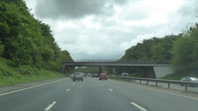
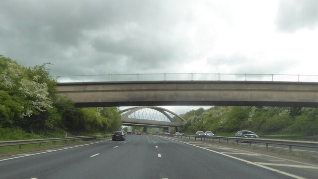
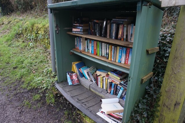
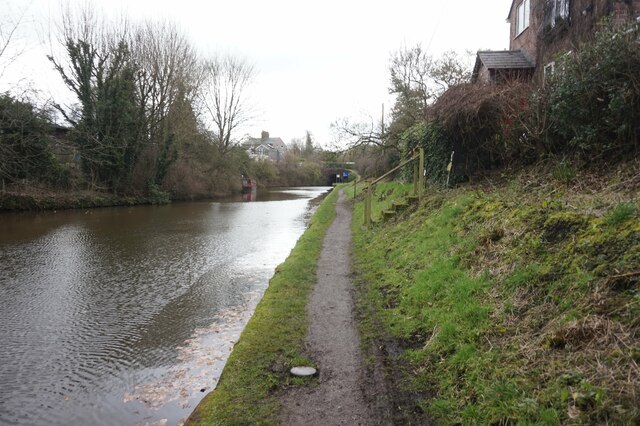
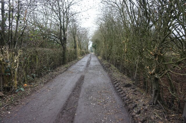
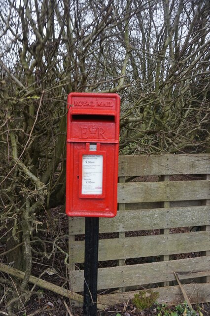
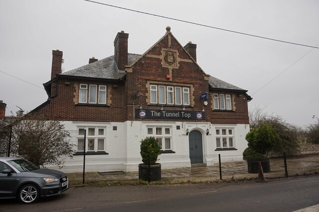
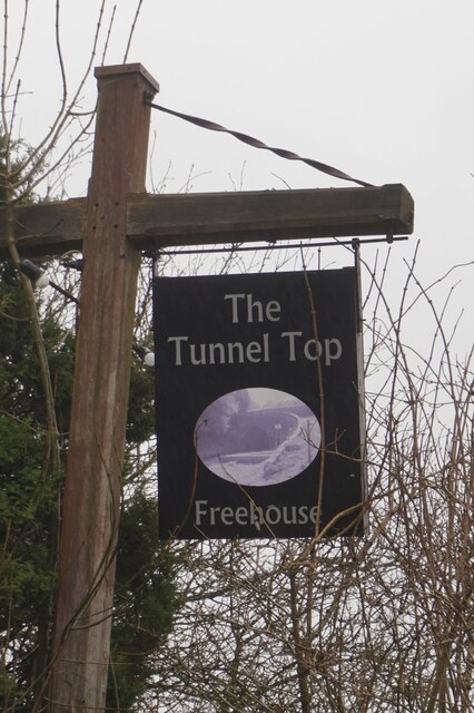
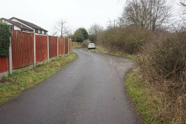
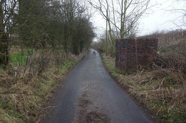
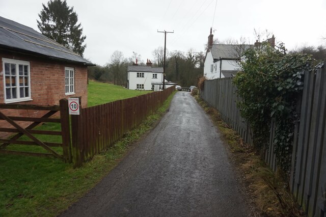
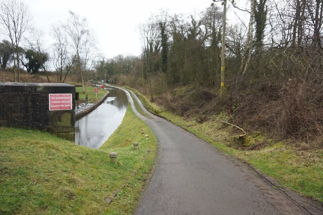
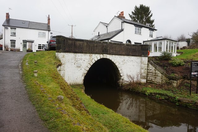
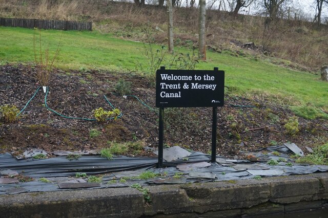
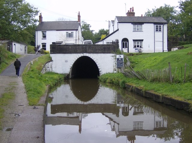
Whitehouse Images
Images are sourced within 2km of 53.312671/-2.6578408 or Grid Reference SJ5679. Thanks to Geograph Open Source API. All images are credited.
Whitehouse is located at Grid Ref: SJ5679 (Lat: 53.312671, Lng: -2.6578408)
Unitary Authority: Halton
Police Authority: Cheshire
What 3 Words
///regarding.elbowed.crystals. Near Halton, Cheshire
Nearby Locations
Related Wikis
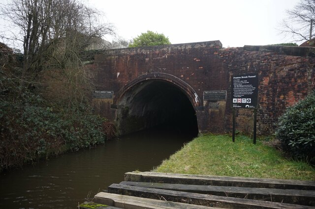
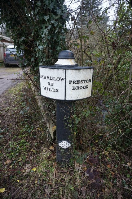
Preston Brook
Preston Brook is a village and civil parish in the borough of Halton, a unitary authority in the ceremonial county of Cheshire in North West England. It...

Runcorn Linnets F.C.
Runcorn Linnets F.C. are an English football club based in Runcorn, Cheshire. The club currently plays in the Northern Premier League Division One West...
Preston Brook railway station
Preston Brook railway station was a station on the Grand Junction Railway serving the villages of Preston Brook and Preston on the Hill in what was then...
Ormiston Bolingbroke Academy
Ormiston Bolingbroke Academy is a coeducational secondary school and sixth form with academy status in Runcorn, Cheshire.The school is named after Henry...
Nearby Amenities
Located within 500m of 53.312671,-2.6578408Have you been to Whitehouse?
Leave your review of Whitehouse below (or comments, questions and feedback).