Castle Wood
Wood, Forest in Cumberland Carlisle
England
Castle Wood

Castle Wood is a picturesque forest located in Cumberland County, England. Covering an area of approximately 500 acres, it is renowned for its ancient woodlands and rich biodiversity. The wood is situated on the outskirts of the village of Cumberland, offering visitors a serene and tranquil retreat.
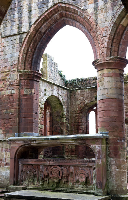
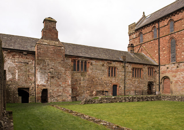
The wood takes its name from the ancient castle ruins that are nestled within its boundaries. These ruins, believed to date back to the medieval period, add an air of mystery and history to the woodland. Visitors can explore the remnants of the castle, imagining the stories and events that unfolded within its walls centuries ago.
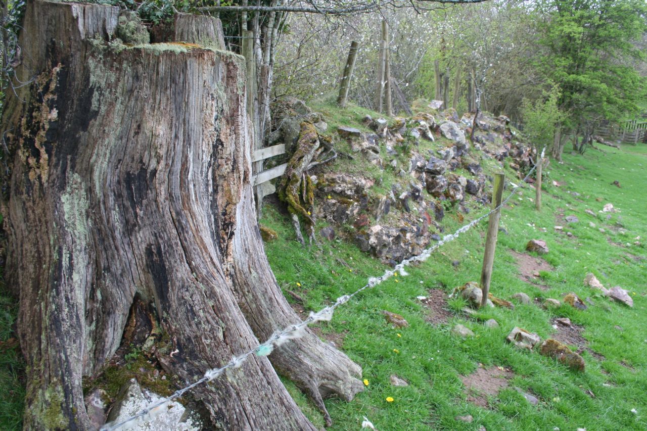
The wood itself is a haven for nature enthusiasts and wildlife lovers. It boasts a diverse range of flora and fauna, with towering oak and beech trees dominating the landscape. Visitors can wander along the numerous walking trails, catching glimpses of bluebells, primroses, and wild garlic during the springtime. The wood is also home to a variety of bird species, including woodpeckers, owls, and warblers, making it a popular destination for birdwatchers.
In addition to its natural beauty, Castle Wood offers several amenities for visitors to enjoy. There are well-maintained picnic areas dotted throughout the wood, providing the perfect spot for a leisurely lunch amidst the stunning surroundings. The wood also offers educational programs and guided walks, allowing visitors to learn more about the history and ecology of the area.
Overall, Castle Wood in Cumberland is a captivating forest that combines historical intrigue with natural beauty. It offers a peaceful retreat for nature lovers and a glimpse into the past for history enthusiasts.
If you have any feedback on the listing, please let us know in the comments section below.
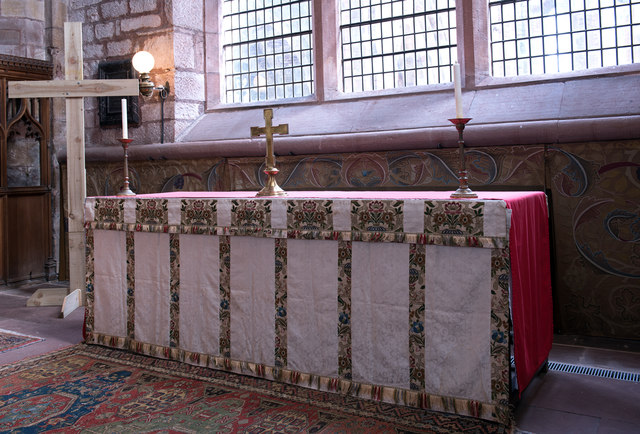
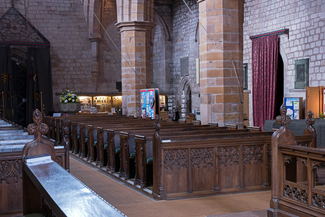
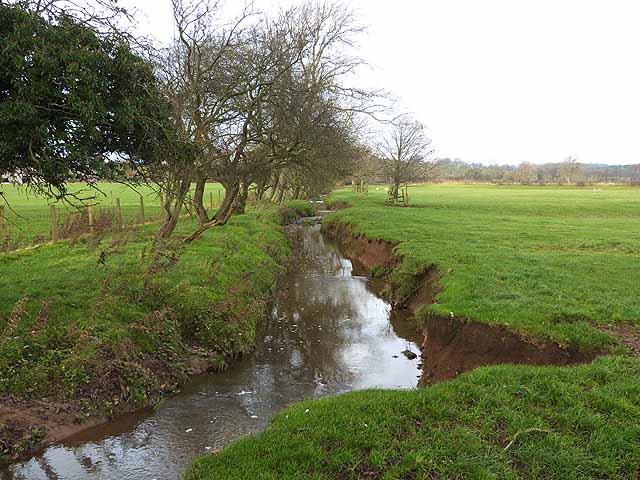
Castle Wood Images
Images are sourced within 2km of 54.95703/-2.6871837 or Grid Reference NY5662. Thanks to Geograph Open Source API. All images are credited.


Castle Wood is located at Grid Ref: NY5662 (Lat: 54.95703, Lng: -2.6871837)
Administrative County: Cumbria
District: Carlisle
Police Authority: Cumbria
What 3 Words
///tadpole.indeed.native. Near Brampton, Cumbria
Nearby Locations
Related Wikis

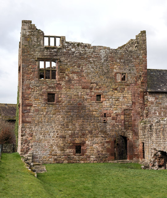
Naworth Castle
Naworth Castle, also known or recorded in historical documents as "Naward", is a castle in Cumbria, England, near the town of Brampton. It is adjacent...
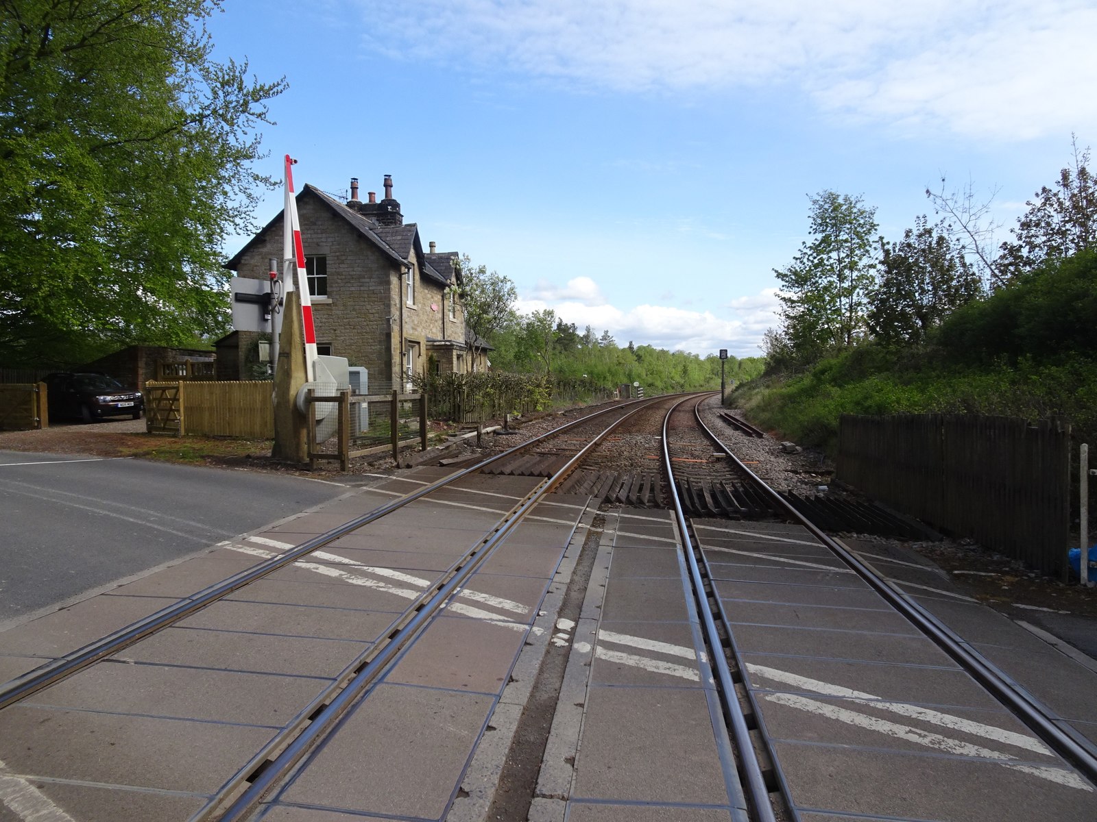
Naworth railway station
Naworth is a former railway station, which served the hamlet of Naworth in Cumbria. The station served the Tyne Valley Line between 1871 and 1952. ��2...

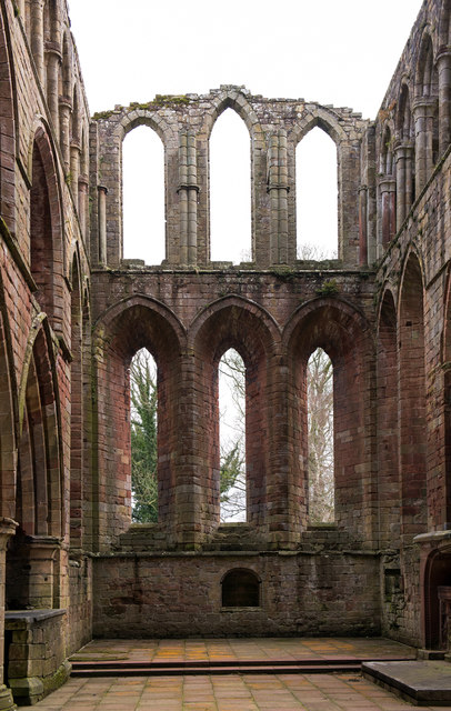
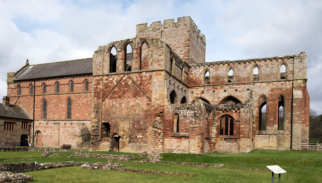
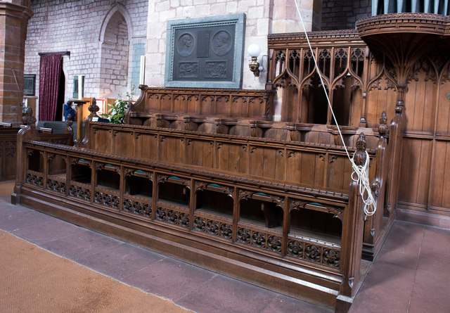
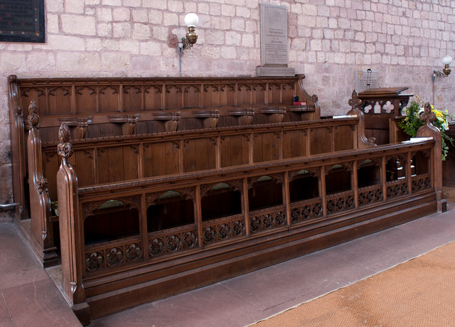
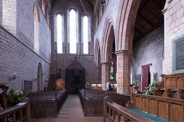
Lanercost Priory
Lanercost Priory was founded by Robert de Vaux between 1165 and 1174, the most likely date being 1169, to house Augustinian canons. The priory is situated...

Lanercost
Lanercost is a village in the northern part of Cumbria, England. The settlement is in the civil parish of Burtholme, in the City of Carlisle local government...
Burtholme
Burtholme refers to any of a civil parish in Cumbria, England, a hamlet within that parish or a family name originally linked to the place. It also appears...

Milecastle 53
Milecastle 53 (Banks Burn) was a milecastle on Hadrian's Wall (grid reference NY56486460). == Description == Milecastle 53 is west of the hamlet of Banks...
Milecastle 54
Milecastle 54 (Randylands) was a milecastle on Hadrian's Wall (grid reference NY55066444). == Description == Milecastle 54 is on a west-facing hill-slope...

Banks, Cumbria
Banks is a village in Cumbria, England, astride the course of Hadrian's Wall, 3 mile (5 km) NE of the market town of Brampton. The historic Lanercost Priory...
Nearby Amenities
Located within 500m of 54.95703,-2.6871837Have you been to Castle Wood?
Leave your review of Castle Wood below (or comments, questions and feedback).