Park Wood
Wood, Forest in Westmorland South Lakeland
England
Park Wood
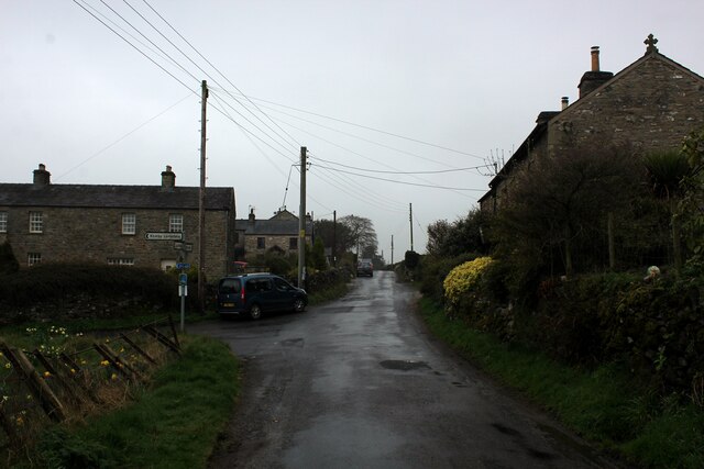
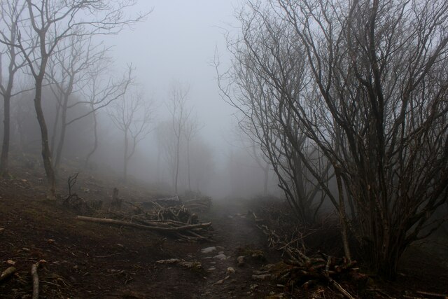
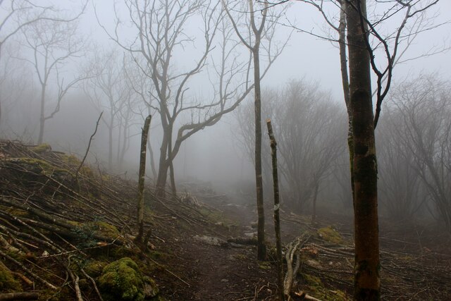
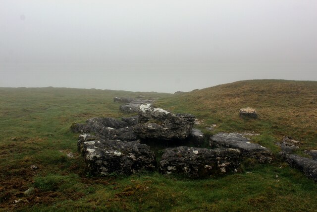
Park Wood is a picturesque forest located in the county of Westmorland, England. Covering an area of approximately 300 acres, the wood is characterized by its dense foliage, diverse flora and fauna, and a serene atmosphere that attracts nature enthusiasts and hikers alike.
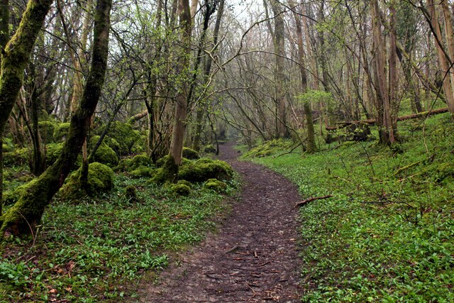
The wood is predominantly composed of broadleaf trees, including oak, beech, and ash, creating a vibrant and colorful canopy during the changing seasons. The forest floor is adorned with an array of wildflowers, such as bluebells and primroses, adding to the natural beauty of the surroundings.
Several trails wind their way through Park Wood, offering visitors the opportunity to explore the area on foot or by bicycle. These trails vary in difficulty, catering to both casual strollers and more experienced hikers. Admiring the towering trees, spotting wildlife like squirrels and birds, and listening to the soothing sounds of nature are common experiences during a visit to Park Wood.
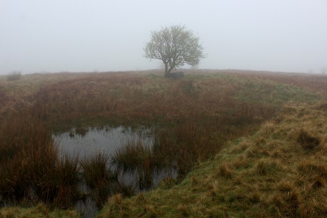
The wood is also home to a small pond, providing a habitat for various aquatic species and attracting birds and other wildlife. This tranquil spot offers a peaceful retreat for those seeking a moment of solitude or a peaceful picnic amidst nature's splendor.
Managed by a local conservation organization, Park Wood is meticulously cared for, ensuring the preservation of its natural heritage. Regular maintenance work, such as tree thinning and invasive species control, helps maintain the health and diversity of the forest ecosystem.
Overall, Park Wood in Westmorland is a captivating destination for nature lovers, offering a delightful escape to the tranquility and beauty of a well-preserved forest.
If you have any feedback on the listing, please let us know in the comments section below.
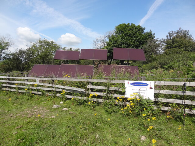
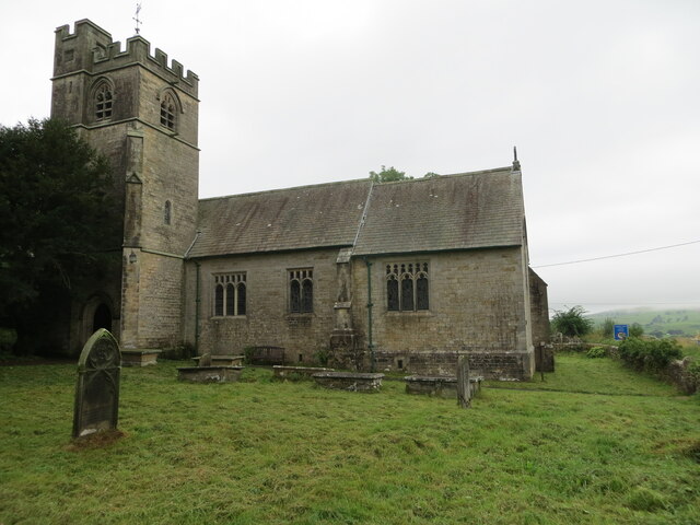
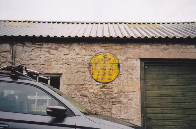
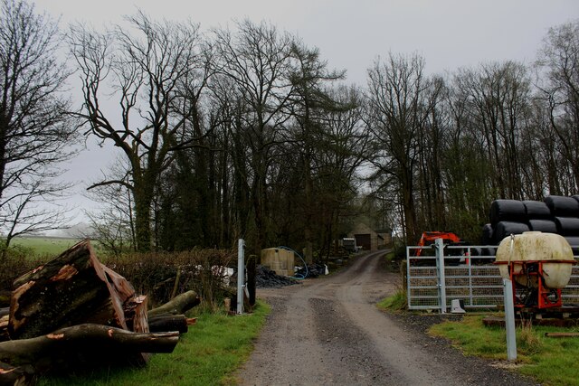
Park Wood Images
Images are sourced within 2km of 54.194331/-2.6712009 or Grid Reference SD5677. Thanks to Geograph Open Source API. All images are credited.


Park Wood is located at Grid Ref: SD5677 (Lat: 54.194331, Lng: -2.6712009)
Administrative County: Cumbria
District: South Lakeland
Police Authority: Cumbria
What 3 Words
///downcast.internal.candle. Near Kirkby Lonsdale, Cumbria
Nearby Locations
Related Wikis

Hutton Roof, South Lakeland
Hutton Roof is a village and civil parish in the South Lakeland district of Cumbria, England, close to Kirkby Lonsdale and Hutton Roof Crags. Historically...
Hutton Roof Crags
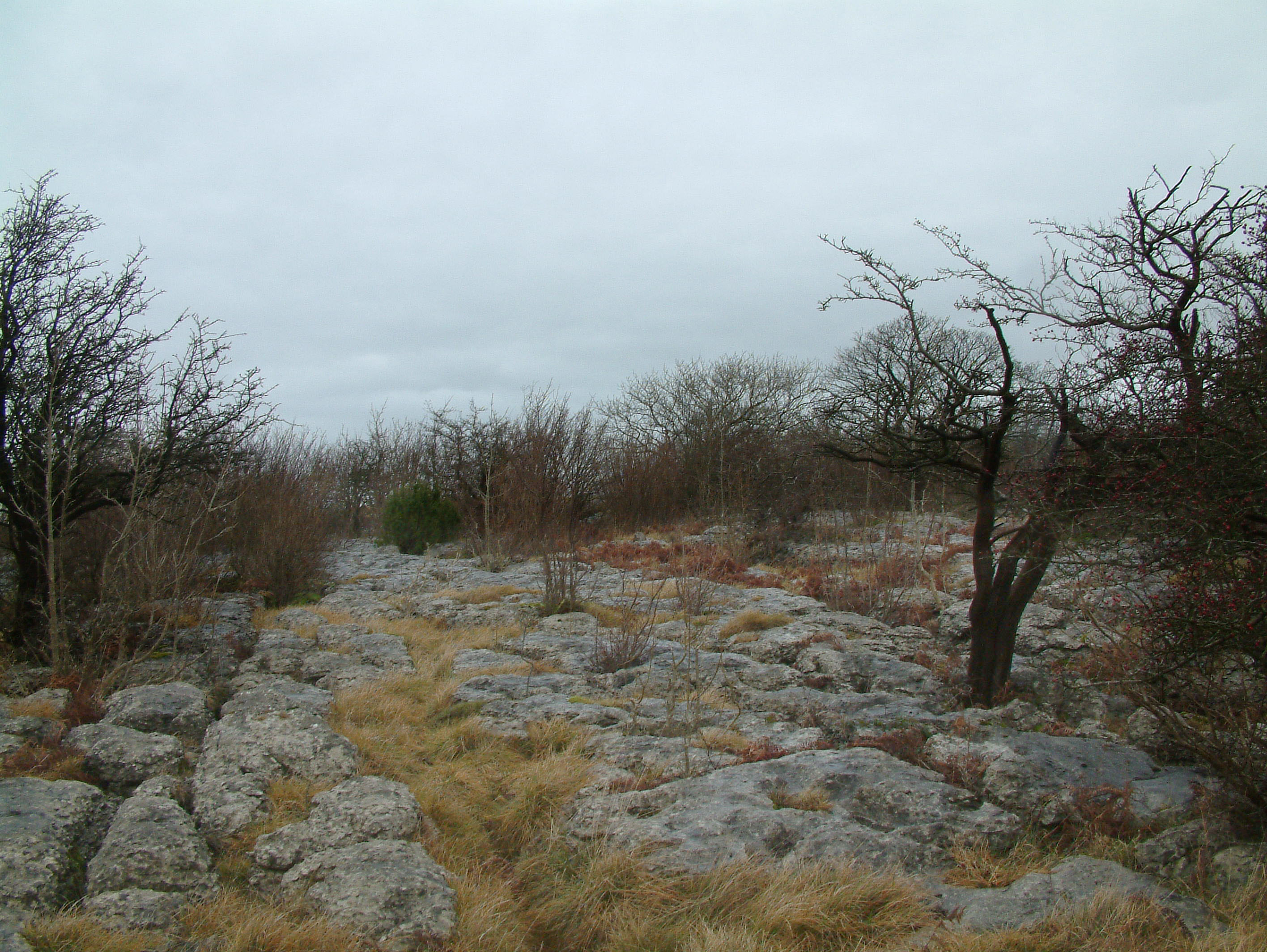
Hutton Roof Crags is a hill in south-eastern Cumbria in north-west England, located near to the village of Hutton Roof. It has extensive areas of limestone...
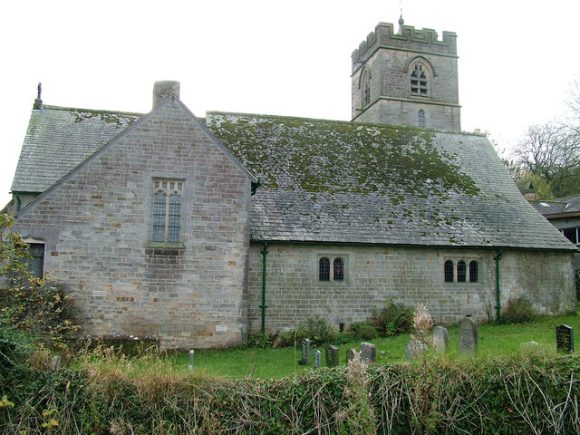
St John's Church, Hutton Roof
St John's Church is in the village of Hutton Roof, Cumbria, England. It is an active Anglican parish church in the deanery of Kendal, the archdeaconry...

Dalton, Cumbria
Dalton is a hamlet and former civil parish, now in the parish of Burton-in-Kendal, in the Westmorland and Furness district, Cumbria, England. Until 1894...
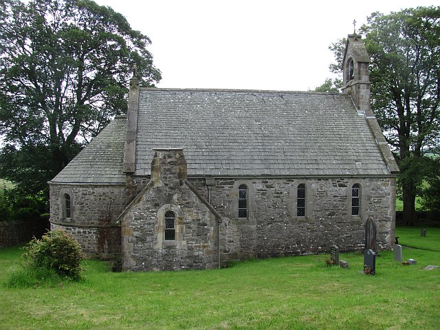
All Saints Church, Lupton
All Saints Church is in the village of Lupton, Cumbria, England. It is an active Anglican parish church in the deanery of Kendal, the archdeaconry of...
Clawthorpe
Clawthorpe is a hamlet in the South Lakeland district, in the county of Cumbria, England. It is near the village of Burton-in-Kendal and the town of Kendal...

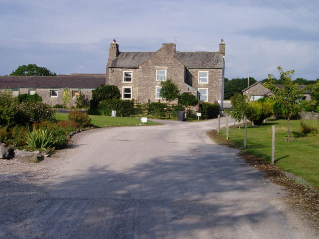
Dalton Hall, Cumbria
Dalton Hall is a country house near Burton-in-Kendal in northern England. The hall lies within the county palatine of Lancaster, while Burton lies in the...
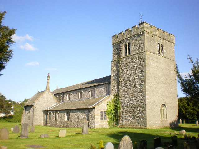
St James' Church, Burton-in-Kendal
St James' Church is in the village of Burton-in-Kendal, Cumbria, England. It is an active Anglican parish church in the deanery of Kendal, the archdeaconry...
Nearby Amenities
Located within 500m of 54.194331,-2.6712009Have you been to Park Wood?
Leave your review of Park Wood below (or comments, questions and feedback).