Mary's Well Withy Bed

Wood, Forest in Dorset

England

Mary's Well Withy Bed

Crossroads at Higher Kingcombe
Crossroads at Higher Kingcombe Credit: Roger Cornfoot

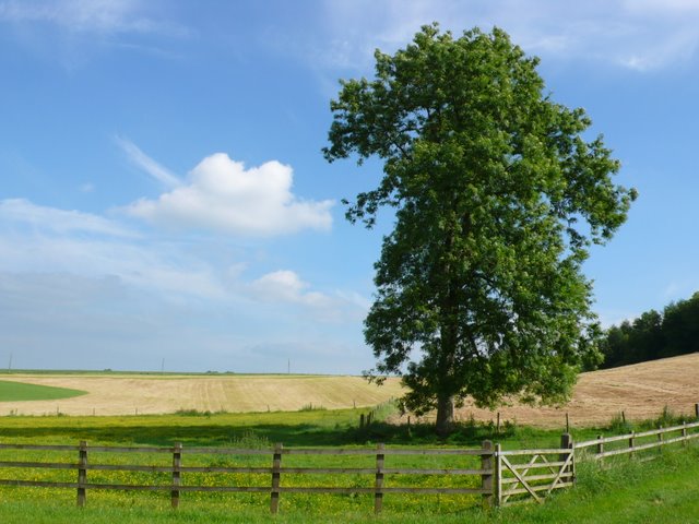
Mary's Well Withy Bed is a picturesque woodland area located in Dorset, England. Situated within the larger Forest of Dorset, this enchanting spot is renowned for its natural beauty and historical significance. The well is named after a local legend, which states that the Virgin Mary herself once rested here.

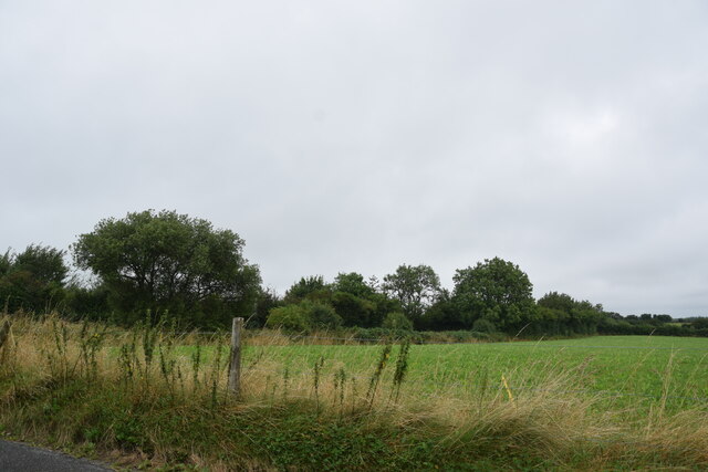
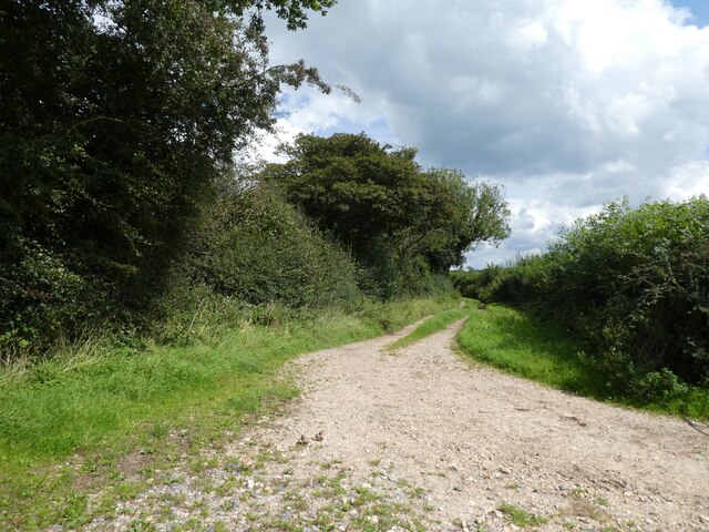
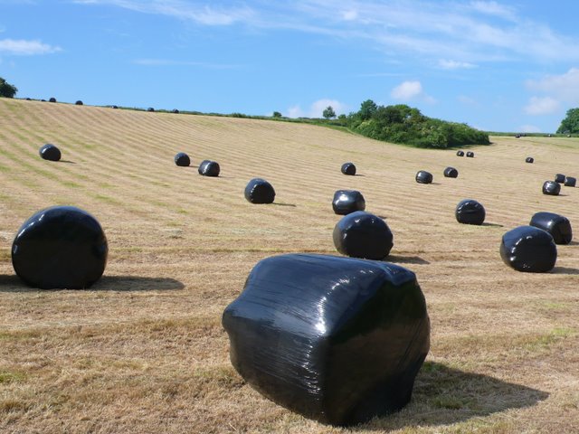
The Withy Bed is a small section within the wood, known for its dense growth of willow trees, or withies. These trees create a captivating canopy and provide a tranquil atmosphere for visitors. The area is often described as a hidden gem, as it remains relatively untouched and off the beaten path.

Mary's Well, the focal point of the Withy Bed, is a natural spring that has been flowing for centuries. It is believed to possess healing properties, and locals and tourists alike have visited the well for centuries to seek its purported benefits. The well is adorned with a small stone structure, which adds to its charm and mystique.

Surrounding the well and withies are a variety of flora and fauna, including wildflowers, ferns, and various woodland creatures. The area is a haven for nature lovers and birdwatchers, as it provides a habitat for a diverse range of bird species.

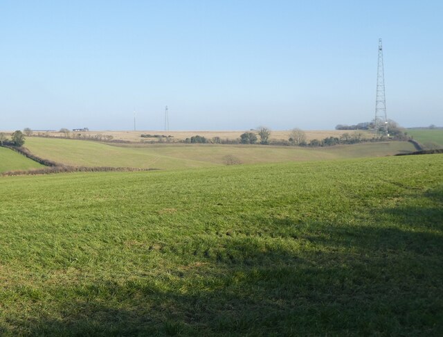
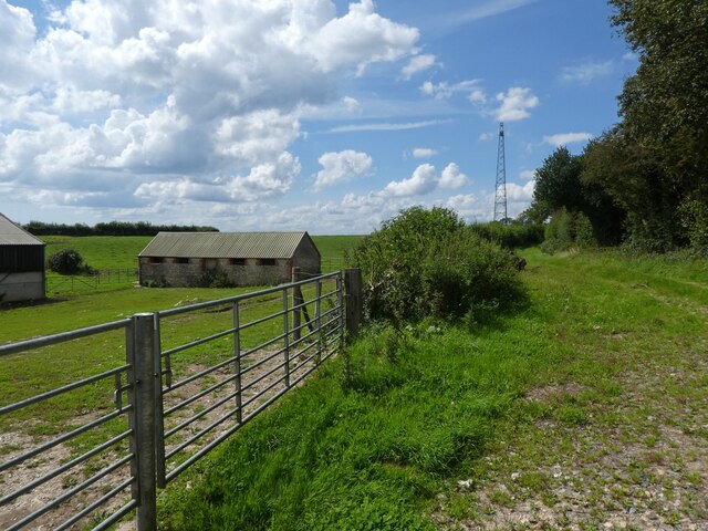
Visitors to Mary's Well Withy Bed can enjoy leisurely walks through the wood, immersing themselves in the serenity of nature. The area is also a popular spot for picnics and photography, as the scenery is simply breathtaking. Whether seeking tranquility, historical significance, or natural beauty, Mary's Well Withy Bed is a must-visit destination in Dorset.

If you have any feedback on the listing, please let us know in the comments section below.

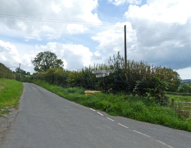
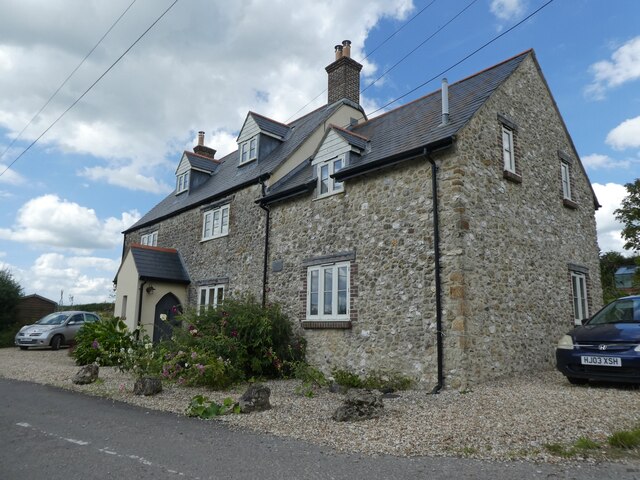
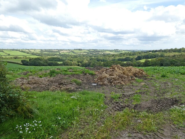
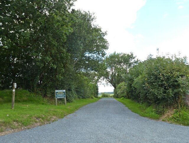
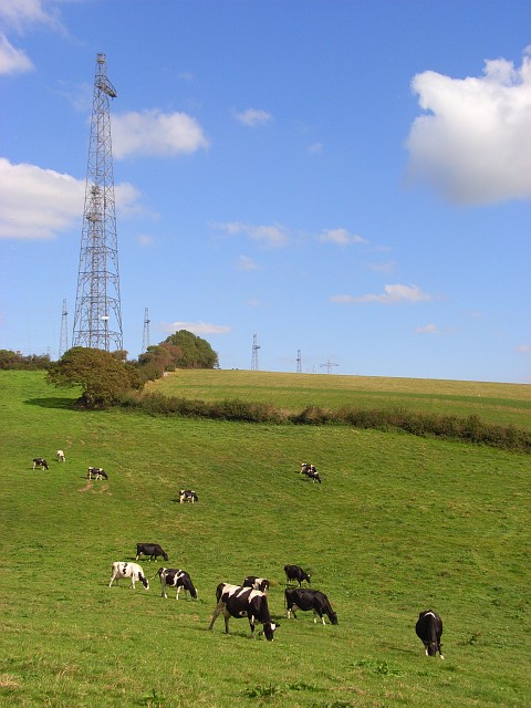
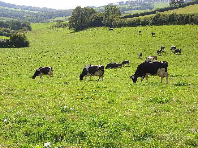
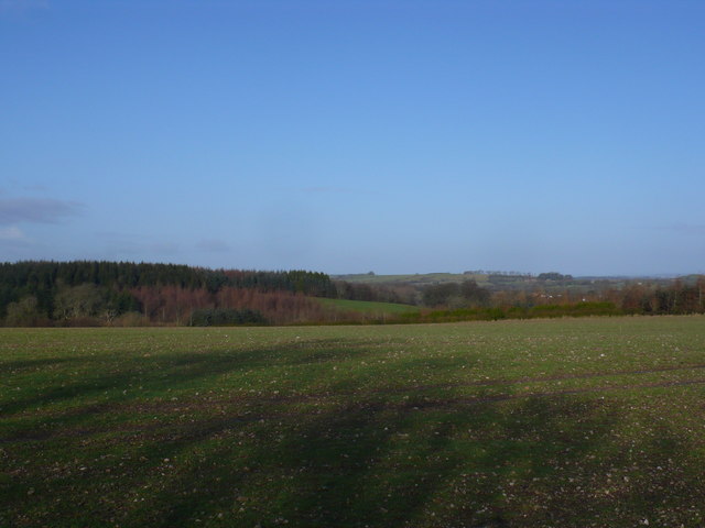
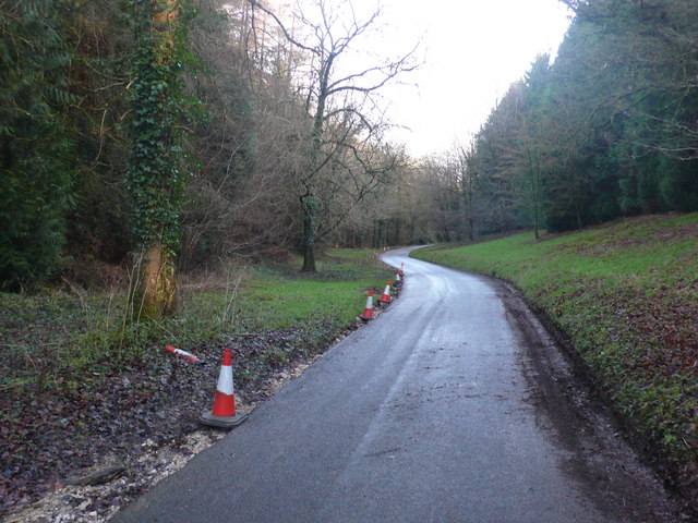
Mary's Well Withy Bed Images

Images are sourced within 2km of 50.794549/-2.6298927 or Grid Reference SY5599. Thanks to Geograph Open Source API. All images are credited.

Crossroads at Higher Kingcombe
Rock House Restored and extended since 2012: <a href="https://www.geograph.org.uk/photo/2783106">SY5499 : House at Higher Kingcombe</a>
Rock House
Restored and extended since 2012: SY5499 : House at Higher Kingcombe
Landscape with dung
Landscape with dung
Private road to Stapleford Farm
Field near Kingcombe Cross Roads Looking northwest towards Kingcombe Cross Roads from near the end of the lane from Higher Wraxhall.
Field near Kingcombe Cross Roads
Looking northwest towards Kingcombe Cross Roads from near the end of the lane from Higher Wraxhall.
Rampisham Down
Rampisham Down
Higher Kingcombe Barn
Track on Rampisham Down
Manor House at Higher Wraxall Wraxall is divided into two tiny hamlets. Higher Wraxall has this fine large stone manor house, built around 1630 and extended in the 19th century, with a few cottages and a farm.
Manor House at Higher Wraxall
Wraxall is divided into two tiny hamlets. Higher Wraxall has this fine large stone manor house, built around 1630 and extended in the 19th century, with a few cottages and a farm.
Rampisham radio masts These dominate the view from the car on the A356.
Rampisham radio masts
These dominate the view from the car on the A356.
Rampisham Down Cattle beneath the southern end of the transmitting station.
Rampisham Down
Cattle beneath the southern end of the transmitting station.
Rampisham Down Looking down the valley descending towards Hooke.
Rampisham Down
Looking down the valley descending towards Hooke.
Field and woods near Rampisham This shows Dukes plantation near the Kingcombe crossroads next to Rampisham
Field and woods near Rampisham
This shows Dukes plantation near the Kingcombe crossroads next to Rampisham
Road through Wraxhall Woods This is looking down the road that runs through Wraxhall woods from Kingcombe crossroads to Wraxhall
Road through Wraxhall Woods
This is looking down the road that runs through Wraxhall woods from Kingcombe crossroads to Wraxhall
Magnificent Ash tree Higher Wraxall This fine specimen stands just outside the hamlet of Higher Wraxall on the road that runs SW up the hill to the Kingcombe crossroads on the A356 Dorchester to crewkerne road.
Magnificent Ash tree Higher Wraxall
This fine specimen stands just outside the hamlet of Higher Wraxall on the road that runs SW up the hill to the Kingcombe crossroads on the A356 Dorchester to crewkerne road.
Wrapped bales, Higher Wraxall View looking north from the road from Higher Wraxall to the Kingcombe Crossroads on the A356. The recently harvested and wrapped bales of hay await collection.
Wrapped bales, Higher Wraxall
View looking north from the road from Higher Wraxall to the Kingcombe Crossroads on the A356. The recently harvested and wrapped bales of hay await collection.
Wrapped hay bales. Higher Wraxall These bales were lying close to the road that runs from Kingcombe cross roads to the tiny hamlet of Higher Wraxall
Wrapped hay bales. Higher Wraxall
These bales were lying close to the road that runs from Kingcombe cross roads to the tiny hamlet of Higher Wraxall
Hills above Kingcombe with unusual cloud formation
Show me another place!

Mary's Well Withy Bed is located at Grid Ref: SY5599 (Lat: 50.794549, Lng: -2.6298927)

Unitary Authority: Dorset

Police Authority: Dorset

What 3 Words

///doped.promoting.imparts. Near Maiden Newton, Dorset

Related Wikis

Toller Porcorum

Toller Porcorum () is a village and civil parish in Dorset, England, situated in the Toller valley 10 miles (16 km) northwest of Dorchester. In the 2011...
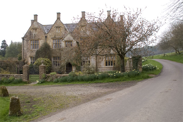
Wraxall Manor

Wraxall Manor is a grade II* listed manor house in Wraxall, Dorset, England. The house was built in about 1630, probably for William Lawrence. == References... ==

Toller railway station

Toller was a railway station on the Bridport Railway in the west of the English county of Dorset. The station served the village of Toller Porcorum. Opened...

Wraxall, Dorset

Wraxall is a civil parish in the English county of Dorset, consisting of the two hamlets Higher Wraxall and Lower Wraxall. It is situated in a valley in...

Nearby Amenities

Located within 500m of 50.794549,-2.6298927
The data included in this document is from www.openstreetmap.org. The data is made available under ODbL.

Have you been to Mary's Well Withy Bed?

Leave your review of Mary's Well Withy Bed below (or comments, questions and feedback).