Kingcombe, Lower
Settlement in Dorset
England
Kingcombe, Lower
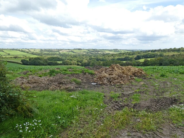
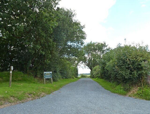
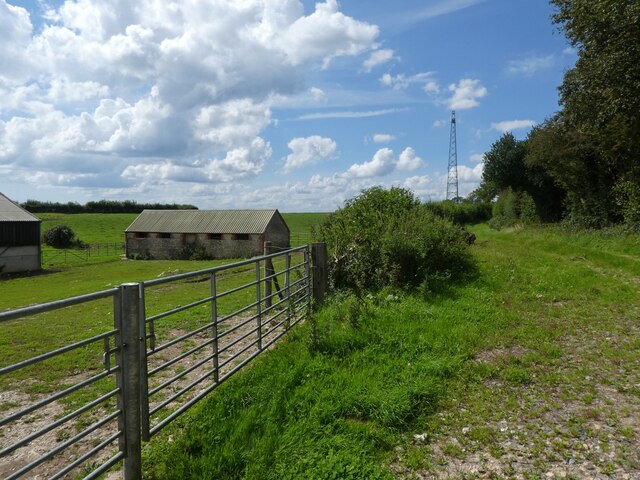
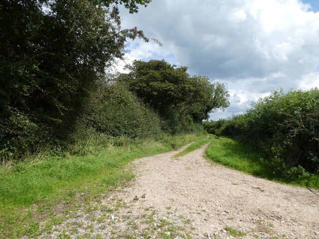
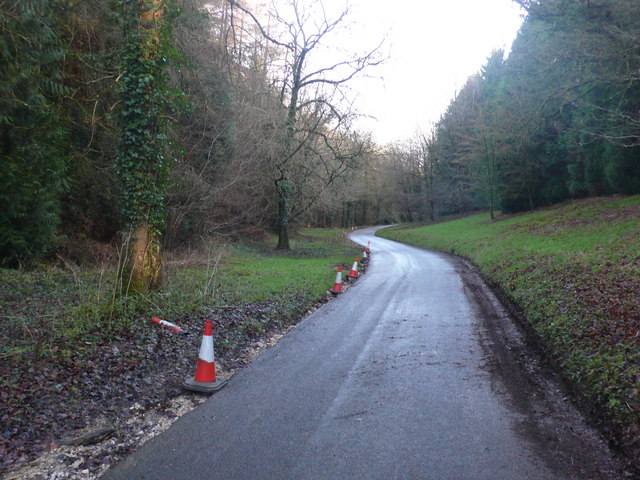
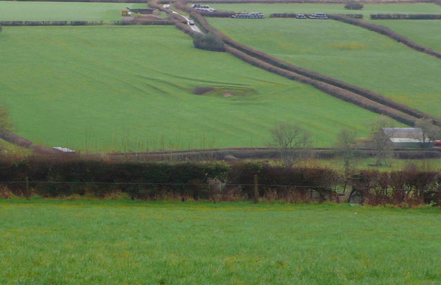
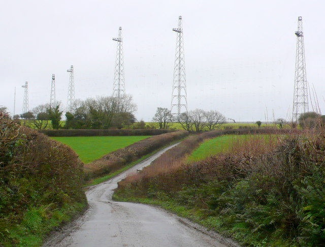
Kingcombe, Lower is a small village located in the county of Dorset, England. Situated in the heart of the beautiful countryside, it offers a tranquil and picturesque setting for its residents and visitors alike. The village is nestled in the valley of the River Hooke and surrounded by rolling hills, lush green fields, and ancient woodlands.
The history of Kingcombe, Lower dates back centuries, with evidence of human occupation found in the area from the Neolithic period. The village itself has a charming and traditional character, with several thatched-roof cottages and historic buildings that have been carefully preserved.
Despite its small size, Kingcombe, Lower boasts a strong sense of community. The villagers take pride in maintaining the village's natural beauty and ensuring its peaceful ambiance. The village has a small primary school, a village hall, and a church that serves as a focal point for community gatherings and events.
The surrounding countryside offers ample opportunities for outdoor activities, such as hiking, cycling, and birdwatching. The nearby Kingcombe Meadows Nature Reserve is a haven for wildlife enthusiasts, with its diverse flora and fauna. The reserve is known for its wildflower meadows, ancient hedgerows, and wetland habitats, which support a wide range of species.
For those seeking a slower pace of life in a picturesque rural setting, Kingcombe, Lower provides an idyllic haven. Its natural beauty, sense of community, and rich history make it a truly special place to live or visit in Dorset.
If you have any feedback on the listing, please let us know in the comments section below.
Kingcombe, Lower Images
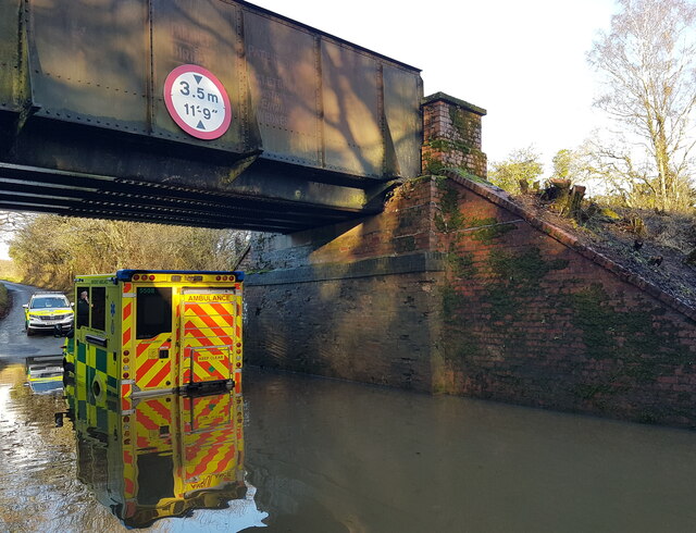
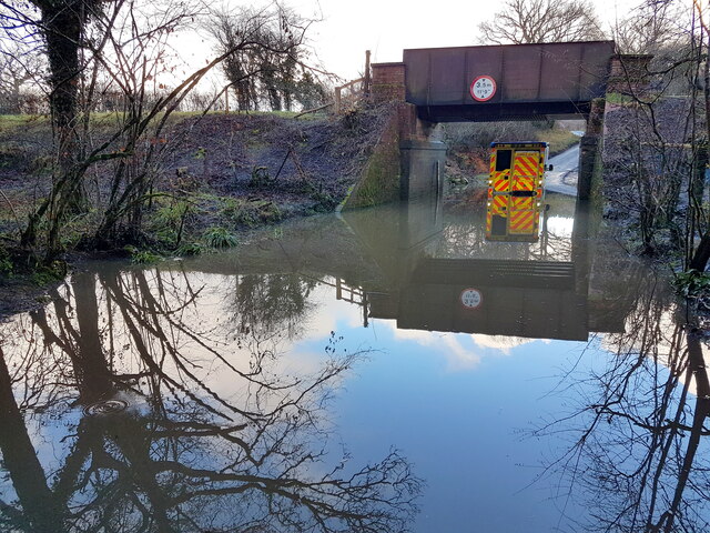
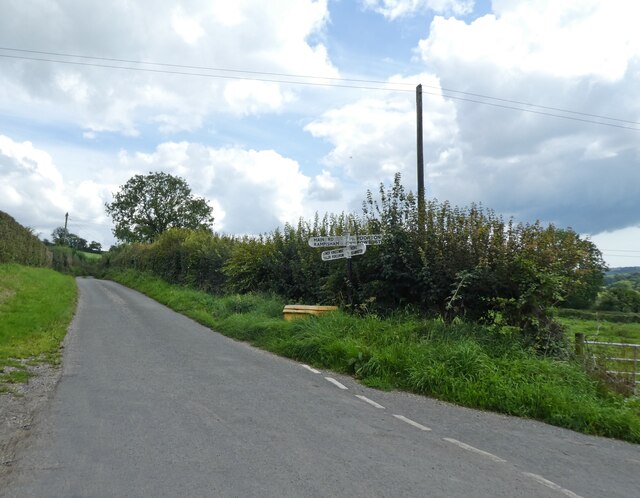
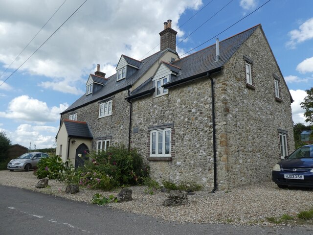
Images are sourced within 2km of 50.789946/-2.6331506 or Grid Reference SY5599. Thanks to Geograph Open Source API. All images are credited.


Kingcombe, Lower is located at Grid Ref: SY5599 (Lat: 50.789946, Lng: -2.6331506)
Unitary Authority: Dorset
Police Authority: Dorset
What 3 Words
///bleach.seating.hopefully. Near Maiden Newton, Dorset
Nearby Locations
Related Wikis

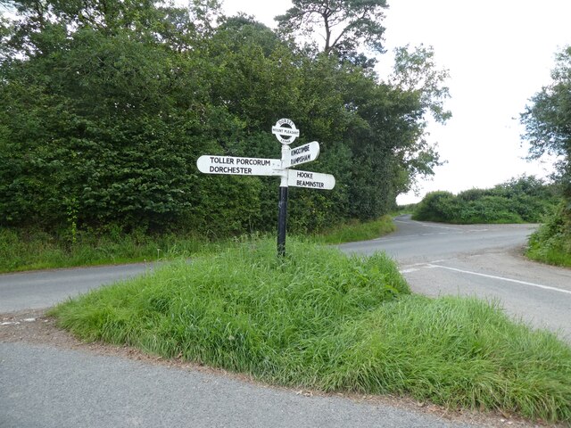
Toller Porcorum
Toller Porcorum () is a village and civil parish in Dorset, England, situated in the Toller valley 10 miles (16 km) northwest of Dorchester. In the 2011...

Toller railway station
Toller was a railway station on the Bridport Railway in the west of the English county of Dorset. The station served the village of Toller Porcorum. Opened...

Hooke, Dorset
Hooke is a small village and civil parish in the county of Dorset in southern England, situated about 7 miles (11 km) northeast of the town of Bridport...

Drackenorth
Drackenorth or Drakenorth is a prominent hill, 221 metres (725 ft) high, 3 km NNE of Powerstock on the Jubilee Trail in the county of Dorset in southern...
Nearby Amenities
Located within 500m of 50.789946,-2.6331506Have you been to Kingcombe, Lower?
Leave your review of Kingcombe, Lower below (or comments, questions and feedback).