Little Kingcombe Coppice

Wood, Forest in Dorset

England

Little Kingcombe Coppice

Crossroads at Higher Kingcombe
Crossroads at Higher Kingcombe Credit: Roger Cornfoot

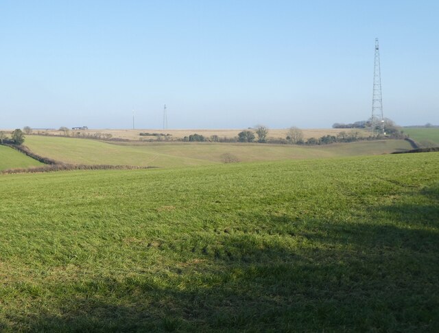
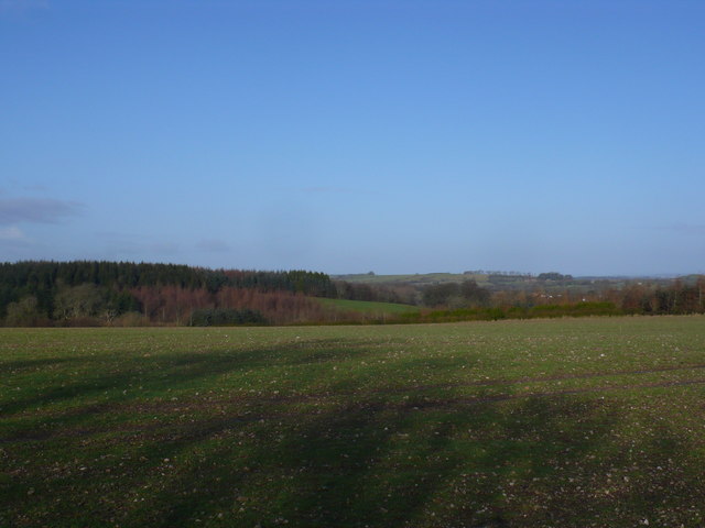
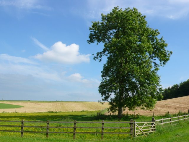
Little Kingcombe Coppice is a beautiful woodland located in the county of Dorset, England. Situated in the heart of the Dorset Area of Outstanding Natural Beauty, this small but enchanting forest covers an area of approximately 20 hectares.

The coppice is predominantly composed of native broadleaf trees such as oak, ash, beech, and hazel, which create a rich and diverse ecosystem. The dense canopy of the woodland provides a haven for a wide range of bird species including woodpeckers, tawny owls, and various songbirds. Visitors to the coppice may also spot small mammals such as squirrels, rabbits, and even the occasional deer.

The forest floor is adorned with a variety of wildflowers, ferns, and mosses, adding to the woodland's natural beauty. During spring, the forest comes alive with a burst of color as bluebells carpet the forest floor, creating a breathtaking sight.

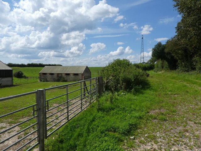
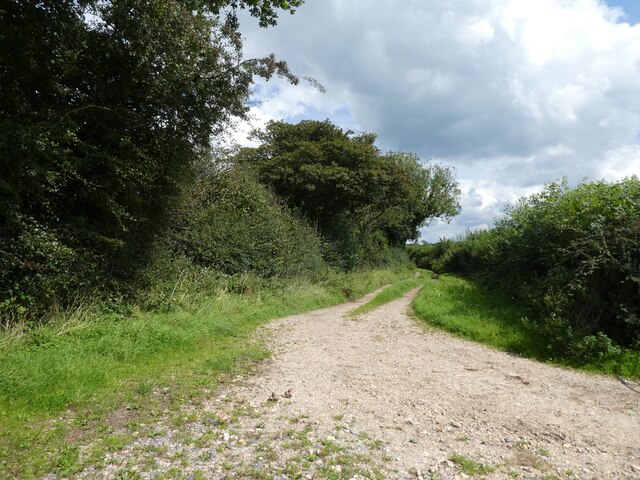
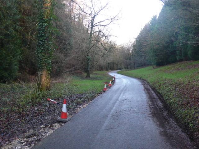
Little Kingcombe Coppice offers a tranquil and peaceful environment, making it the perfect place for nature lovers, photographers, and walkers alike. There are several well-marked trails that wind through the woodland, allowing visitors to explore and immerse themselves in the beauty of nature. The paths are suitable for all ages and abilities, making it an ideal destination for families.

The coppice is managed by a local conservation organization, ensuring the preservation and protection of the woodland's unique ecosystem. It is open to the public throughout the year, providing a wonderful opportunity to escape the hustle and bustle of everyday life and reconnect with nature in one of Dorset's hidden gems.

If you have any feedback on the listing, please let us know in the comments section below.

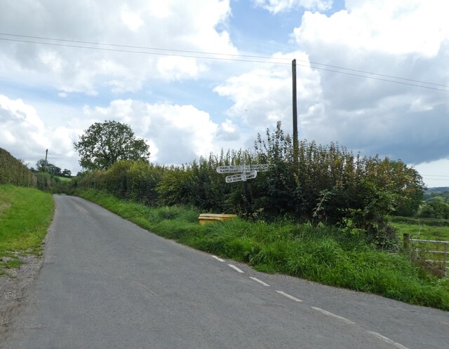
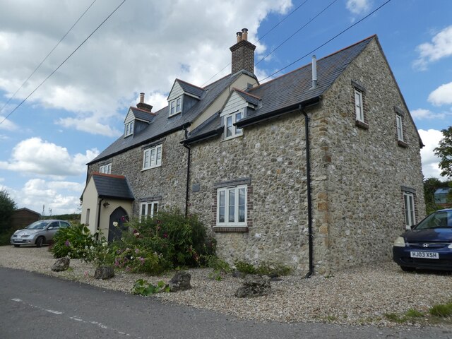
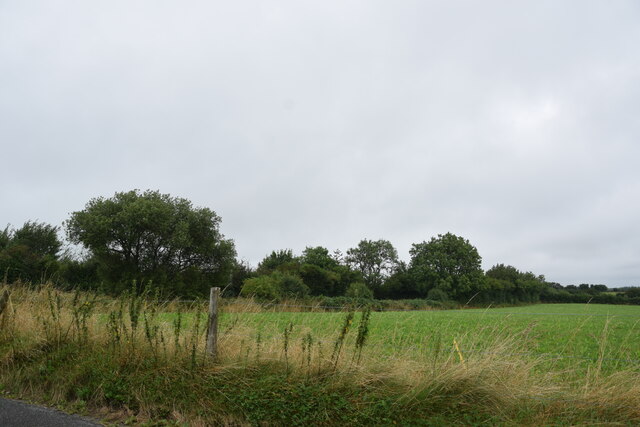
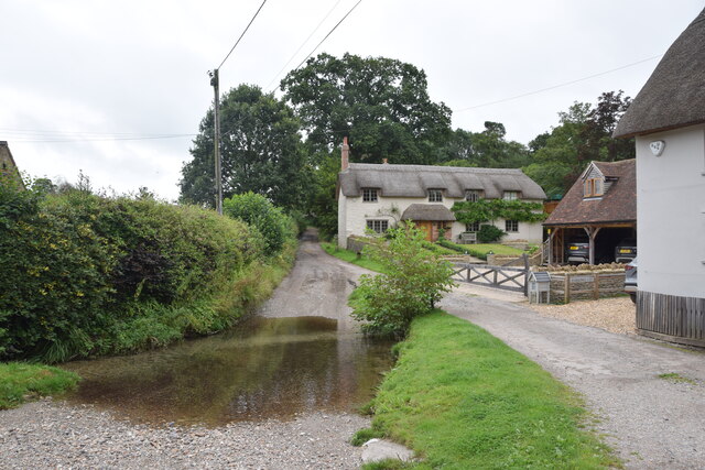
Little Kingcombe Coppice Images

Images are sourced within 2km of 50.795217/-2.6262552 or Grid Reference SY5599. Thanks to Geograph Open Source API. All images are credited.

Crossroads at Higher Kingcombe
Rock House Restored and extended since 2012: <a href="https://www.geograph.org.uk/photo/2783106">SY5499 : House at Higher Kingcombe</a>
Rock House
Restored and extended since 2012: SY5499 : House at Higher Kingcombe
Field near Kingcombe Cross Roads Looking northwest towards Kingcombe Cross Roads from near the end of the lane from Higher Wraxhall.
Field near Kingcombe Cross Roads
Looking northwest towards Kingcombe Cross Roads from near the end of the lane from Higher Wraxhall.
Ford and cottages in Lower Wraxhall
Rampisham Down
Rampisham Down
Higher Kingcombe Barn
Track on Rampisham Down
Manor House at Higher Wraxall Wraxall is divided into two tiny hamlets. Higher Wraxall has this fine large stone manor house, built around 1630 and extended in the 19th century, with a few cottages and a farm.
Manor House at Higher Wraxall
Wraxall is divided into two tiny hamlets. Higher Wraxall has this fine large stone manor house, built around 1630 and extended in the 19th century, with a few cottages and a farm.
Lower Wraxall Church Wraxall is divided into two tiny hamlets. Lower Wraxall has this small church of St. Mary, just a nave and chancel. The chancel arch and doorway are all that remains from the 12th century original with remainder much restored, including a 19th century east window and bell cote.
Lower Wraxall Church
Wraxall is divided into two tiny hamlets. Lower Wraxall has this small church of St. Mary, just a nave and chancel. The chancel arch and doorway are all that remains from the 12th century original with remainder much restored, including a 19th century east window and bell cote.
Rampisham radio masts These dominate the view from the car on the A356.
Rampisham radio masts
These dominate the view from the car on the A356.
Wraxall: parish church of St. Mary The chancel of St. Mary's is 12th-century, though much of the rest was restored in the 19th.
Wraxall: parish church of St. Mary
The chancel of St. Mary's is 12th-century, though much of the rest was restored in the 19th.
Rampisham Down Cattle beneath the southern end of the transmitting station.
Rampisham Down
Cattle beneath the southern end of the transmitting station.
Field and woods near Rampisham This shows Dukes plantation near the Kingcombe crossroads next to Rampisham
Field and woods near Rampisham
This shows Dukes plantation near the Kingcombe crossroads next to Rampisham
Road through Wraxhall Woods This is looking down the road that runs through Wraxhall woods from Kingcombe crossroads to Wraxhall
Road through Wraxhall Woods
This is looking down the road that runs through Wraxhall woods from Kingcombe crossroads to Wraxhall
Lane to Lower Wraxall This is the lane running south from Higher Wraxall
Lane to Lower Wraxall
This is the lane running south from Higher Wraxall
Magnificent Ash tree Higher Wraxall This fine specimen stands just outside the hamlet of Higher Wraxall on the road that runs SW up the hill to the Kingcombe crossroads on the A356 Dorchester to crewkerne road.
Magnificent Ash tree Higher Wraxall
This fine specimen stands just outside the hamlet of Higher Wraxall on the road that runs SW up the hill to the Kingcombe crossroads on the A356 Dorchester to crewkerne road.
Wrapped bales, Higher Wraxall View looking north from the road from Higher Wraxall to the Kingcombe Crossroads on the A356. The recently harvested and wrapped bales of hay await collection.
Wrapped bales, Higher Wraxall
View looking north from the road from Higher Wraxall to the Kingcombe Crossroads on the A356. The recently harvested and wrapped bales of hay await collection.
Wrapped hay bales. Higher Wraxall These bales were lying close to the road that runs from Kingcombe cross roads to the tiny hamlet of Higher Wraxall
Wrapped hay bales. Higher Wraxall
These bales were lying close to the road that runs from Kingcombe cross roads to the tiny hamlet of Higher Wraxall
Show me another place!

Little Kingcombe Coppice is located at Grid Ref: SY5599 (Lat: 50.795217, Lng: -2.6262552)

Unitary Authority: Dorset

Police Authority: Dorset

What 3 Words

///lawn.manicured.scorpions. Near Maiden Newton, Dorset

Related Wikis

Wraxall Manor

Wraxall Manor is a grade II* listed manor house in Wraxall, Dorset, England. The house was built in about 1630, probably for William Lawrence. == References... ==

Toller Porcorum

Toller Porcorum () is a village and civil parish in Dorset, England, situated in the Toller valley 10 miles (16 km) northwest of Dorchester. In the 2011...

Toller railway station

Toller was a railway station on the Bridport Railway in the west of the English county of Dorset. The station served the village of Toller Porcorum. Opened...

Wraxall, Dorset

Wraxall is a civil parish in the English county of Dorset, consisting of the two hamlets Higher Wraxall and Lower Wraxall. It is situated in a valley in...

Nearby Amenities

Located within 500m of 50.795217,-2.6262552
The data included in this document is from www.openstreetmap.org. The data is made available under ODbL.

Have you been to Little Kingcombe Coppice?

Leave your review of Little Kingcombe Coppice below (or comments, questions and feedback).