Lower Kingcombe
Settlement in Dorset
England
Lower Kingcombe
Lower Kingcombe is a small village located in the county of Dorset, in the southwest of England. It is situated approximately 7 miles northeast of the market town of Beaminster and 12 miles northwest of the county town of Dorchester. The village is nestled within the picturesque landscape of the Dorset Area of Outstanding Natural Beauty.
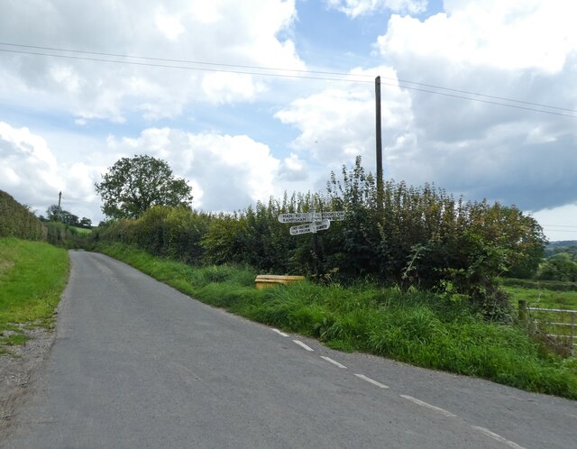
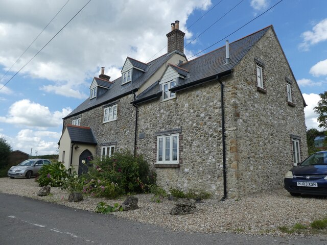
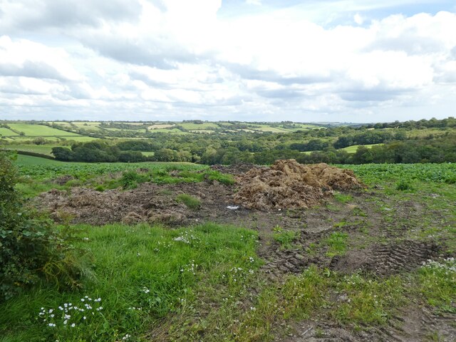
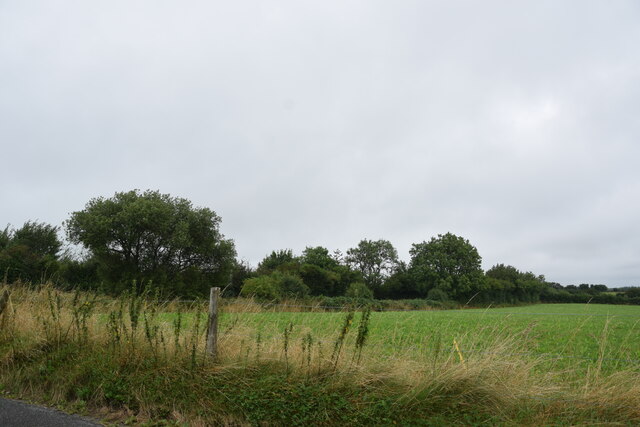
Lower Kingcombe is known for its charming rural character, with traditional thatched cottages, stone walls, and narrow lanes. The village is surrounded by rolling hills and farmland, offering stunning views of the countryside. It is a peaceful and tranquil place, making it an ideal destination for those seeking a retreat from the hustle and bustle of city life.
The village is home to a close-knit community, with a population of around 100 residents. It has a small church, St. Peter's, which dates back to the 12th century and is a notable example of Norman architecture. The church serves as a spiritual and social hub for the village, hosting regular services and community events.
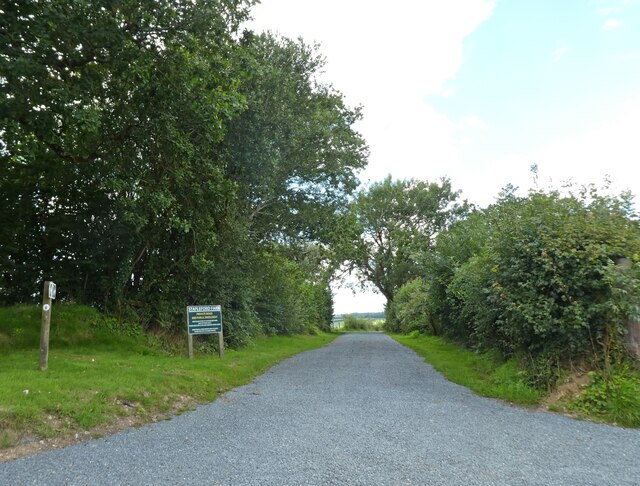
The surrounding area of Lower Kingcombe offers plenty of opportunities for outdoor activities and exploration. There are numerous walking and cycling trails that wind through the countryside, allowing visitors to experience the natural beauty of the region. The nearby Kingcombe Meadows Nature Reserve is a haven for wildlife, with its diverse range of habitats including meadows, wetlands, and woodlands.
Overall, Lower Kingcombe is a charming and idyllic village, offering a peaceful retreat in the heart of the Dorset countryside.
If you have any feedback on the listing, please let us know in the comments section below.
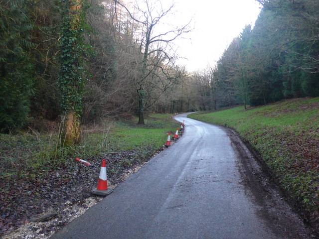
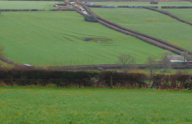
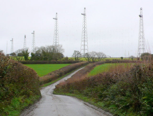
Lower Kingcombe Images
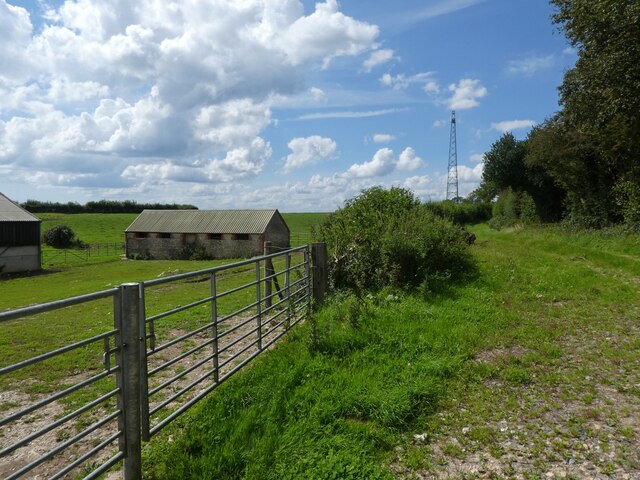
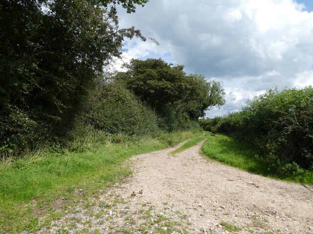
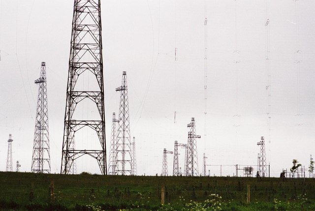
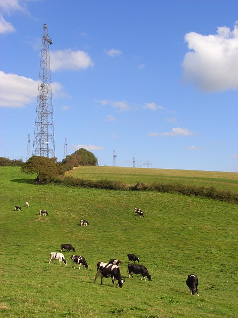
Images are sourced within 2km of 50.789946/-2.6331506 or Grid Reference SY5599. Thanks to Geograph Open Source API. All images are credited.


Lower Kingcombe is located at Grid Ref: SY5599 (Lat: 50.789946, Lng: -2.6331506)
Unitary Authority: Dorset
Police Authority: Dorset
What 3 Words
///bleach.seating.hopefully. Near Maiden Newton, Dorset
Nearby Locations
Related Wikis

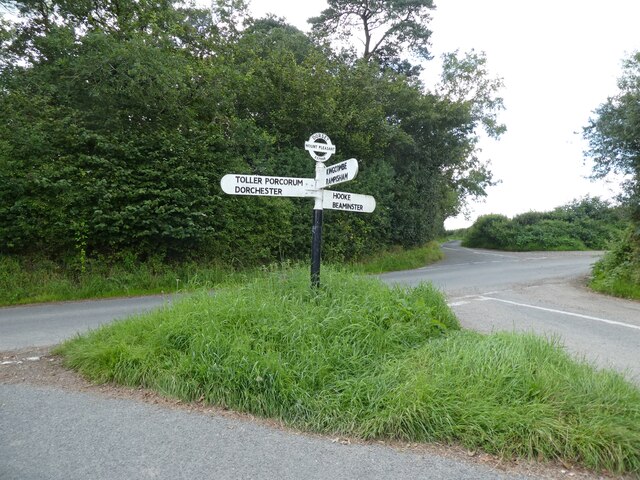
Toller Porcorum
Toller Porcorum () is a village and civil parish in Dorset, England, situated in the Toller valley 10 miles (16 km) northwest of Dorchester. In the 2011...

Toller railway station
Toller was a railway station on the Bridport Railway in the west of the English county of Dorset. The station served the village of Toller Porcorum. Opened...

Hooke, Dorset
Hooke is a small village and civil parish in the county of Dorset in southern England, situated about 7 miles (11 km) northeast of the town of Bridport...

Drackenorth
Drackenorth or Drakenorth is a prominent hill, 221 metres (725 ft) high, 3 km NNE of Powerstock on the Jubilee Trail in the county of Dorset in southern...
Nearby Amenities
Located within 500m of 50.789946,-2.6331506Have you been to Lower Kingcombe?
Leave your review of Lower Kingcombe below (or comments, questions and feedback).