Scatterford Grove
Wood, Forest in Gloucestershire Forest of Dean
England
Scatterford Grove
Scatterford Grove is a charming woodland area located in the county of Gloucestershire, England. Nestled amidst the splendid countryside, this grove is a haven for nature enthusiasts and those seeking tranquility away from the bustling city life.
Covering an area of approximately 50 acres, Scatterford Grove is predominantly filled with a variety of trees, making it a true forest retreat. The grove boasts a diverse range of tree species, including oak, beech, ash, and birch, creating a vibrant and picturesque landscape throughout the year. The thick canopy of foliage provides ample shade, giving the grove a cool and refreshing atmosphere during the summer months.
The forest floor is adorned with a lush carpet of wildflowers and ferns, adding to the beauty and biodiversity of Scatterford Grove. The diverse ecosystem supports a wide array of wildlife, including deer, foxes, badgers, and numerous bird species. It is not uncommon to spot squirrels leaping from tree to tree or catch a glimpse of a hare darting through the undergrowth.
Visitors to Scatterford Grove can enjoy various recreational activities such as hiking, birdwatching, and photography. There are several well-marked trails that cater to different levels of fitness, allowing visitors to explore the grove at their own pace. The peaceful ambiance and idyllic surroundings make it an ideal spot for a leisurely picnic or a quiet retreat to connect with nature.
In summary, Scatterford Grove in Gloucestershire offers a splendid woodland experience with its diverse tree species, rich flora and fauna, and serene atmosphere. It is a sanctuary where visitors can immerse themselves in the beauty of nature and find solace in its tranquil surroundings.
If you have any feedback on the listing, please let us know in the comments section below.
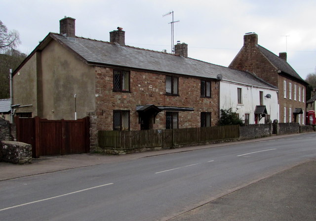
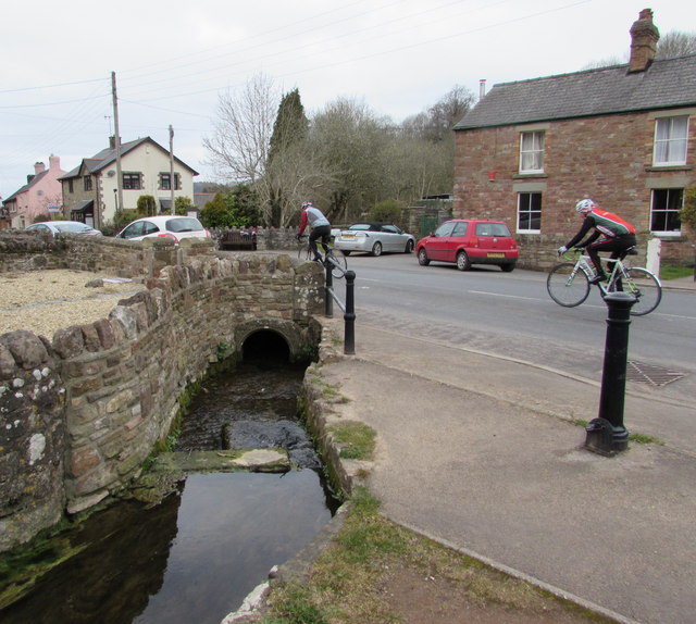
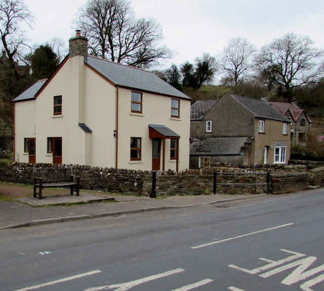
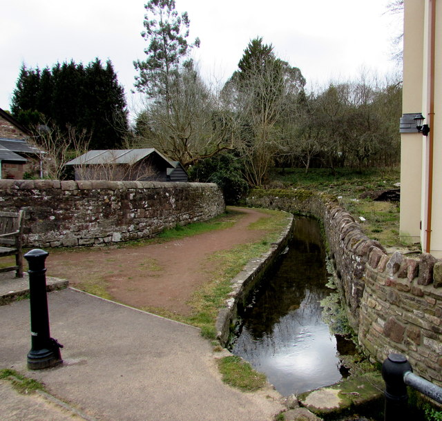
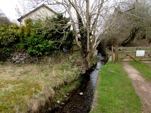
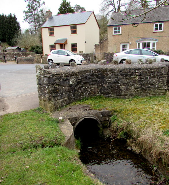
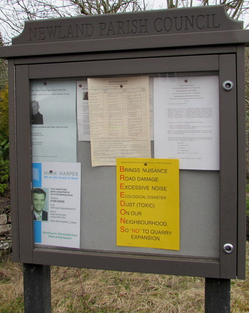
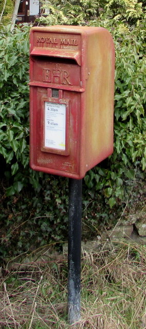
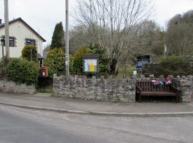
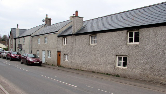
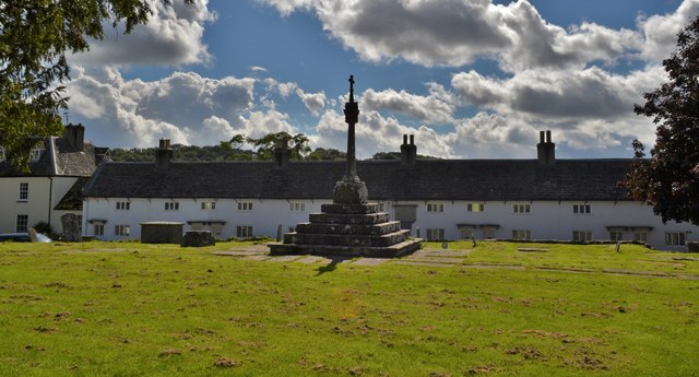
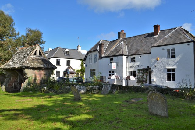
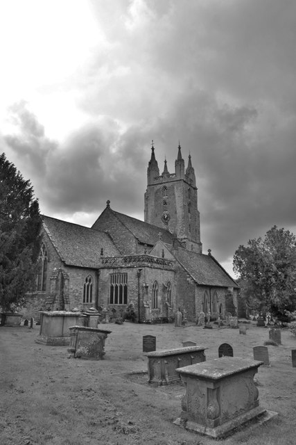
Scatterford Grove Images
Images are sourced within 2km of 51.778605/-2.6434918 or Grid Reference SO5509. Thanks to Geograph Open Source API. All images are credited.

Scatterford Grove is located at Grid Ref: SO5509 (Lat: 51.778605, Lng: -2.6434918)
Administrative County: Gloucestershire
District: Forest of Dean
Police Authority: Gloucestershire
What 3 Words
///voice.crumb.plans. Near Coleford, Gloucestershire
Nearby Locations
Related Wikis

Newland, Gloucestershire
Newland is a village and civil parish in the Forest of Dean in Gloucestershire, England. situated on the east side of the River Wye, 3 miles (5 km) south...

Astridge Wood
Astridge Wood (grid reference SO547088) is a 19.42-hectare (48.0-acre) biological Site of Special Scientific Interest in Gloucestershire, England, notified...
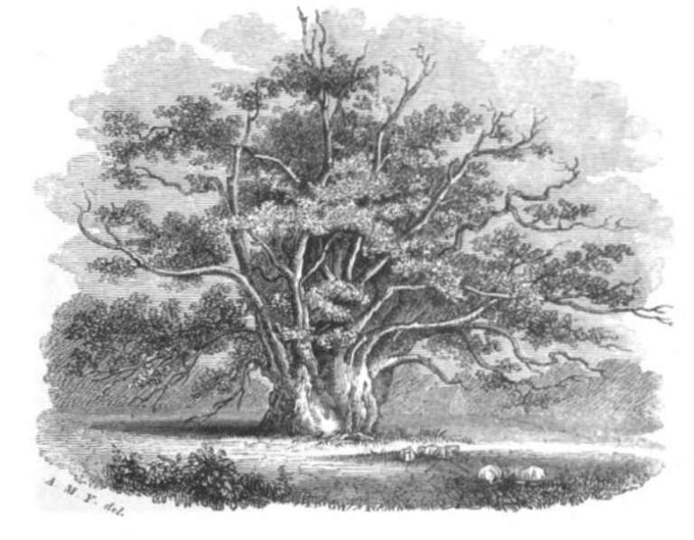
Newland Oak
The Newland Oak was a veteran oak tree in Newland, Gloucestershire in England. Originally part of the ancient woodland of the Forest of Dean, it survived...

Newland railway station
Newland railway station, also known as Cherry Orchard railway station, served the village of Newland, Gloucestershire, England, from 1883 to 1917 on the...
Whitecliff Quarry
Whitecliff Quarry was a quarry in the Forest of Dean, Gloucestershire, England. It was served by the Coleford Railway from 1883 to 1917 and the Severn...
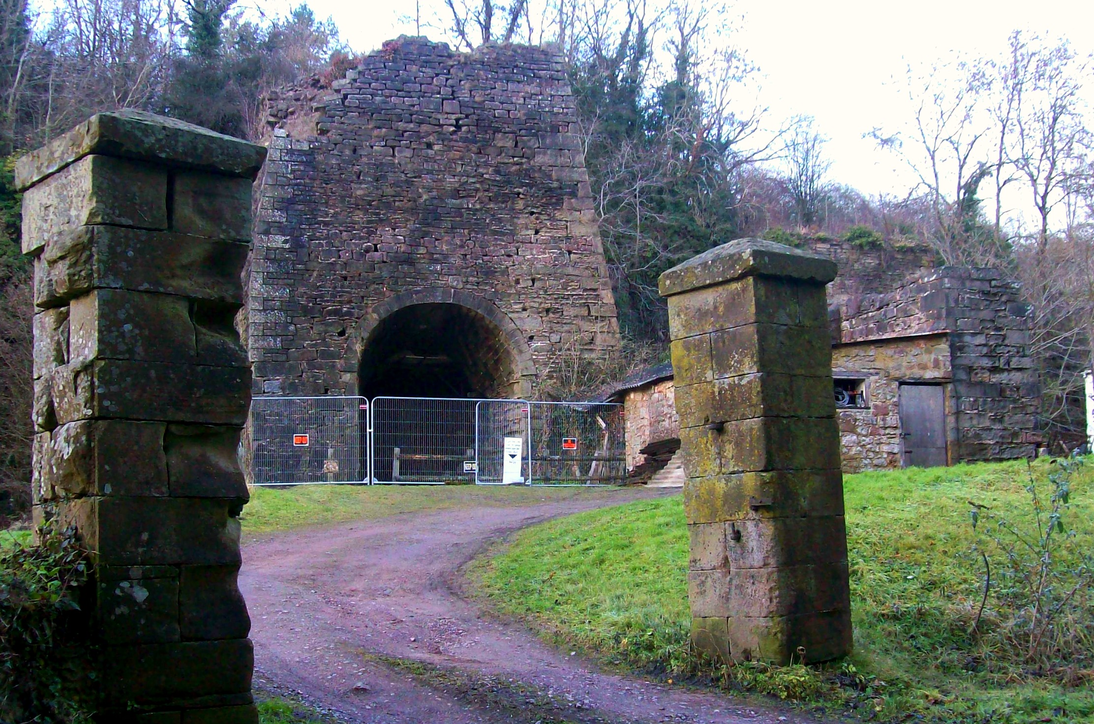
Whitecliff Ironworks
Whitecliff Ironworks, sometimes referred to as Whitecliff Furnace, at Coleford, in the Forest of Dean, Gloucestershire, England, are industrial remains...

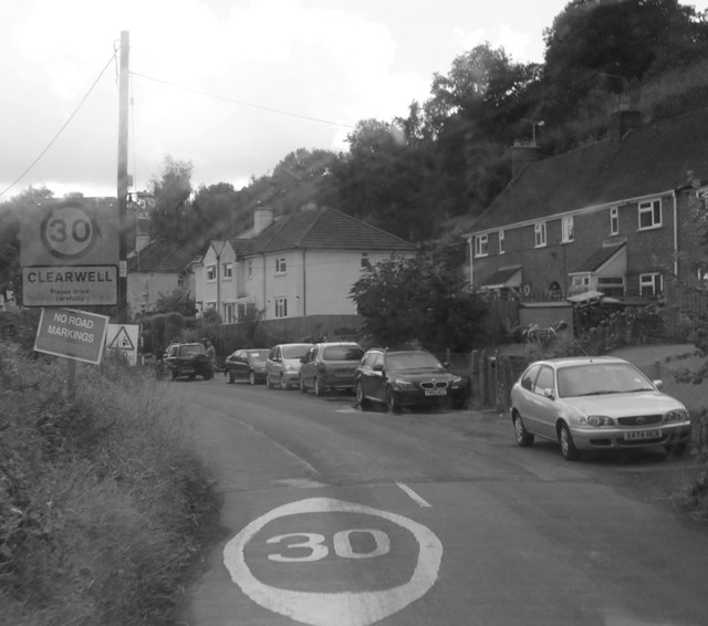
Clearwell
Clearwell (anciently "Clower-Wall" etc.) is a village and former ancient manor in the Forest of Dean, West Gloucestershire, England. A recent survey indicated...
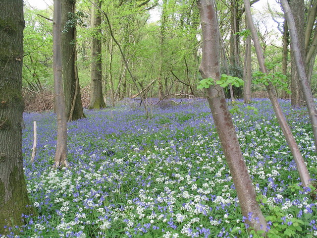
Highbury Wood
Highbury Wood (grid reference SO540086) is a 50.74-hectare (125.4-acre) biological Site of Special Scientific Interest in Gloucestershire, notified in...
Nearby Amenities
Located within 500m of 51.778605,-2.6434918Have you been to Scatterford Grove?
Leave your review of Scatterford Grove below (or comments, questions and feedback).