Hall Wood

Wood, Forest in Westmorland South Lakeland

England

Hall Wood

M6 northbound near Goose Green
M6 northbound near Goose Green Credit: Alpin Stewart

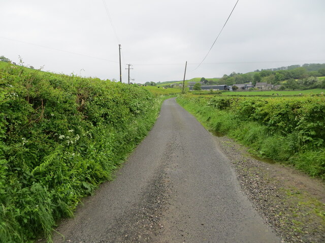
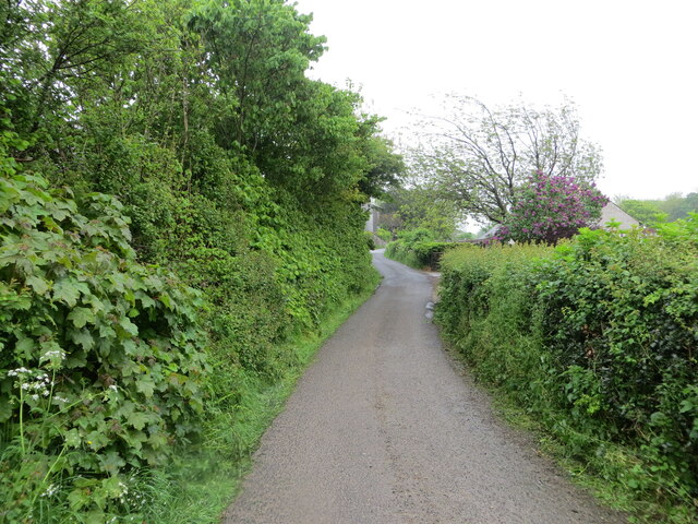
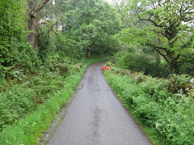
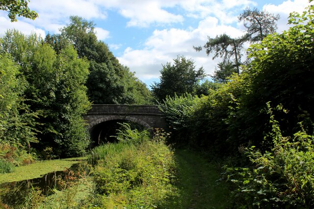
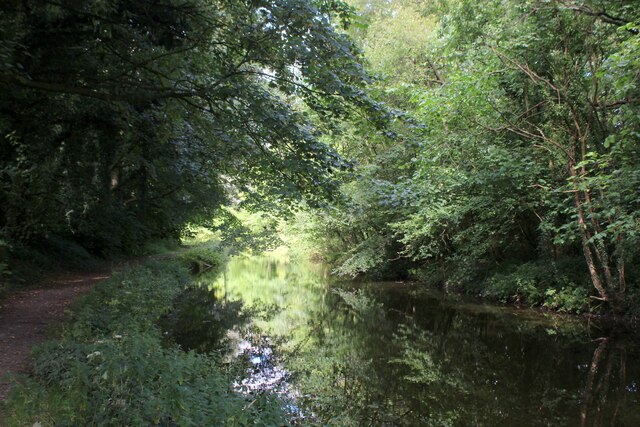
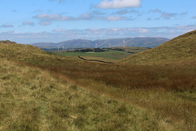
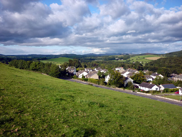
Hall Wood is a picturesque woodland located in the county of Westmorland, England. With its lush greenery and diverse range of flora and fauna, it is a popular destination for nature lovers and outdoor enthusiasts alike.

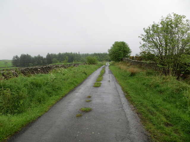
Covering an area of approximately 100 acres, Hall Wood is characterized by its dense canopy of tall trees, including oak, beech, and ash. The woodland floor is carpeted with a variety of wildflowers, such as bluebells and primroses, adding bursts of color to the landscape.

The wood is home to a rich and diverse ecosystem, providing a habitat for numerous species of birds, mammals, and insects. Visitors may be lucky enough to spot red squirrels, badgers, or even roe deer as they explore the winding paths that crisscross the woodland.

Hall Wood offers a tranquil and peaceful environment, making it an ideal spot for walking, picnicking, and wildlife observation. The natural beauty of the wood, combined with the soothing sounds of birdsong and rustling leaves, creates a sense of serenity that allows visitors to escape the hustle and bustle of everyday life.

A visit to Hall Wood is a chance to immerse oneself in the beauty of nature and experience the wonders of a traditional English woodland. Whether it's a leisurely stroll, a family outing, or a photography expedition, this enchanting woodland has something to offer everyone who appreciates the great outdoors.

If you have any feedback on the listing, please let us know in the comments section below.
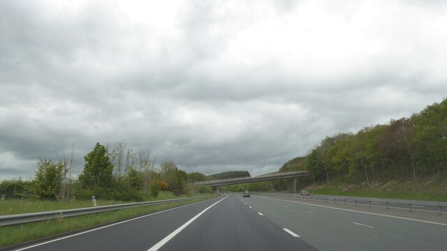
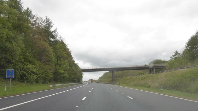
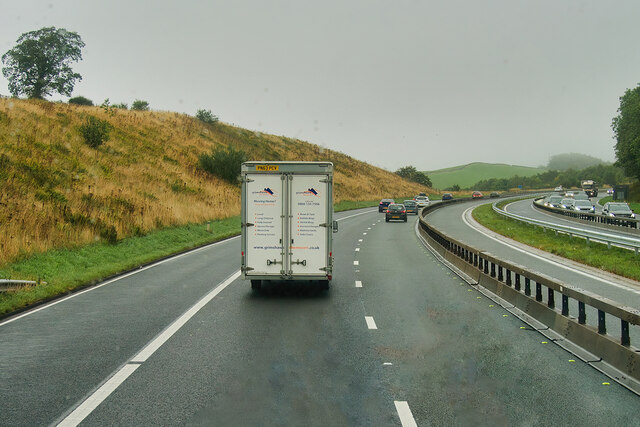
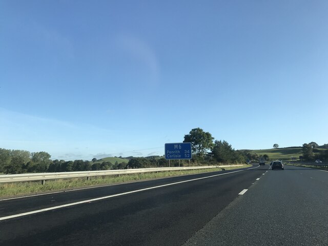
Hall Wood Images

Images are sourced within 2km of 54.250204/-2.6922443 or Grid Reference SD5484. Thanks to Geograph Open Source API. All images are credited.

M6 northbound near Goose Green
Bridge over M6 northbound
M6 North of Junction 36 The M6 motorway runs from junction 19 of the M1 at the Catthorpe Interchange, near Rugby to the Gretna junction (J45). Here it becomes the A74(M) and M74 which continues to Glasgow.

The M6 is the longest motorway in the United Kingdom (232 miles) and one of the busiest. It incorporates the first length of motorway opened in the UK (the Preston bypass in 1958) and forms part of a motorway "Backbone of Britain", running north-south between London and Glasgow via the industrial north of England. It is also part of the east-west route between the Midlands and the east coast ports.
M6 North of Junction 36
The M6 motorway runs from junction 19 of the M1 at the Catthorpe Interchange, near Rugby to the Gretna junction (J45). Here it becomes the A74(M) and M74 which continues to Glasgow. The M6 is the longest motorway in the United Kingdom (232 miles) and one of the busiest. It incorporates the first length of motorway opened in the UK (the Preston bypass in 1958) and forms part of a motorway "Backbone of Britain", running north-south between London and Glasgow via the industrial north of England. It is also part of the east-west route between the Midlands and the east coast ports.
Signage  - M6 northbound
Signage - M6 northbound
Bridge  - M6 northbound
Bridge - M6 northbound
Scout Hill masts
Scout Hill masts
Scout Hill masts from trig
Hedge-lined minor road approaching Yew Tree Farm Looking north-eastward.
Hedge-lined minor road approaching Yew Tree Farm
Looking north-eastward.
Hedge-lined minor road near to Black Yeats Looking south-westward.
Hedge-lined minor road near to Black Yeats
Looking south-westward.
Minor road at Hellgill Bridge Looking southward. The bridge parapet awaits repair.
Minor road at Hellgill Bridge
Looking southward. The bridge parapet awaits repair.
Wall enclosed minor road near to Warth Looking eastward.
Wall enclosed minor road near to Warth
Looking eastward.
Stubb Farm, Endmoor
Stubb Farm, Endmoor
Lancaster Canal at Millness The canal is no longer navigable at this juncture, since the construction of the M6 motorway.
It is, however, a fine place to walk and admire the diverse array of vegetation.
Lancaster Canal at Millness
The canal is no longer navigable at this juncture, since the construction of the M6 motorway. It is, however, a fine place to walk and admire the diverse array of vegetation.
The A65 crosses the Lancaster Canal at Millness Hill Bridge No. 163 on the Lancaster Canal, which is no longer navigable at this point, although it does display a wide range of water vegetation - much of it floating on the surface.
The A65 crosses the Lancaster Canal at Millness Hill
Bridge No. 163 on the Lancaster Canal, which is no longer navigable at this point, although it does display a wide range of water vegetation - much of it floating on the surface.
Lancaster Canal at Millness Hill No longer navigable along this stretch since the construction of the M6 motorway.
Lancaster Canal at Millness Hill
No longer navigable along this stretch since the construction of the M6 motorway.
Standing Stone on Scout Hill Not sure if this stone has been erected in this position, or is a natural formation. For the amount of effort required to reach this summit - the view exceeds expectation.
This looks north towards the distant Howgill Fells.
Also visible from the broad top of Scout Hill the observer can see The Lakes District Fells, Wild Boar Fell, Middleton Fell, Ingleborough, Bowland, Morecambe Bay, Arnside Knott, Grange and Blackpool Tower
Standing Stone on Scout Hill
Not sure if this stone has been erected in this position, or is a natural formation. For the amount of effort required to reach this summit - the view exceeds expectation. This looks north towards the distant Howgill Fells. Also visible from the broad top of Scout Hill the observer can see The Lakes District Fells, Wild Boar Fell, Middleton Fell, Ingleborough, Bowland, Morecambe Bay, Arnside Knott, Grange and Blackpool Tower
Telecommunications Masts and Centre on Scout Hill
View towards the Howgill Fells from Scout Hill Looking north from Scout Hill
View towards the Howgill Fells from Scout Hill
Looking north from Scout Hill
Show me another place!

Hall Wood is located at Grid Ref: SD5484 (Lat: 54.250204, Lng: -2.6922443)

Administrative County: Cumbria

District: South Lakeland

Police Authority: Cumbria

What 3 Words

///display.reverses.leaves. Near Milnthorpe, Cumbria

Related Wikis

Preston Patrick

Preston Patrick is a village and civil parish in South Lakeland, Cumbria, England. It has junction 36 of the M6 motorway in its south west corner and extends...

Endmoor

Endmoor is a small village within Cumbria, England, situated close to the A65 road. It is about 5 miles (8 km) from Kendal, just south of Oxenholme, and...

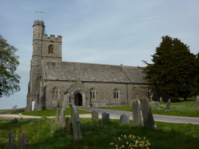
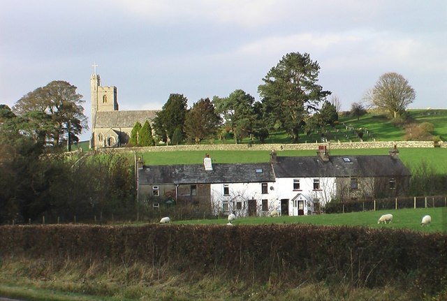
St Patrick's Church, Preston Patrick

St Patrick's Church is the parish church of Preston Patrick, Cumbria, England. It is an active Anglican church, one of eight parish churches served by...

Crooklands

Crooklands is a village in South Lakeland, Cumbria, England, 4.5 miles (7.2 km) south of Kendal on the A65 road. Historically part of Westmorland, the...

Preston Richard

Preston Richard is a civil parish in South Lakeland, Cumbria, England. It includes the village of Endmoor, and the hamlets of Crooklands, Birkrigg Park...

Westmorland County Agricultural Society

The Westmorland County Agricultural Society (WCAS, established 1799) is a registered charity which supports agriculture and related activities in and around...

Lupton, Cumbria

Lupton is a linear village and civil parish in the South Lakeland district of Cumbria, England, along the main A65 road north west of Kirkby Lonsdale,...

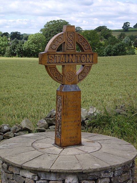
Stainton, south Cumbria

Stainton is a village and a civil parish in the Westmorland and Furness district of Cumbria, England. It is near the village of Sedgwick and the town of...

Nearby Amenities

Located within 500m of 54.250204,-2.6922443
Man Made: street_cabinet
Lat/Long: 54.2541977/-2.6934974
Man Made: street_cabinet
Lat/Long: 54.2535036/-2.6946909
Man Made: street_cabinet
Lat/Long: 54.2534627/-2.6945509
Man Made: street_cabinet
Lat/Long: 54.2535234/-2.6945098
Location Transition: yes
Material: wood
Power: pole
Lat/Long: 54.2536229/-2.6948797
Material: wood
Power: pole
Lat/Long: 54.2538983/-2.6960912
Power: pole
Lat/Long: 54.2536542/-2.6886546
Power: pole
Lat/Long: 54.2535461/-2.6906173
Power: pole
Lat/Long: 54.2534568/-2.6919102
Location Transition: yes
Power: pole
Lat/Long: 54.2536834/-2.6927446
Power: pole
Lat/Long: 54.2522346/-2.6856135
Man Made: street_cabinet
Lat/Long: 54.2495929/-2.6970013
Man Made: street_cabinet
Lat/Long: 54.2496128/-2.6969949
Cox Bank
Place: locality
Lat/Long: 54.2507468/-2.6863875
The data included in this document is from www.openstreetmap.org. The data is made available under ODbL.

Have you been to Hall Wood?

Leave your review of Hall Wood below (or comments, questions and feedback).