Wynett Coppice
Wood, Forest in Shropshire
England
Wynett Coppice
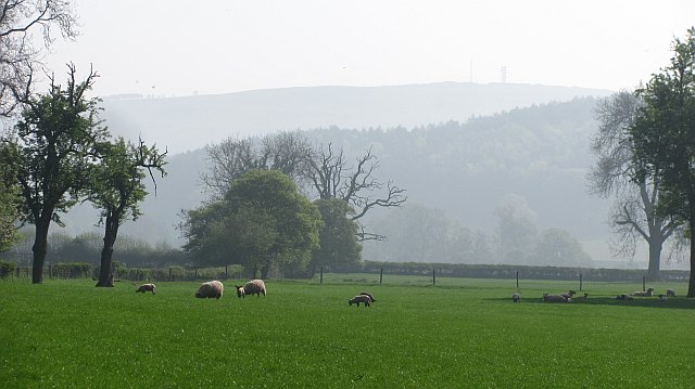
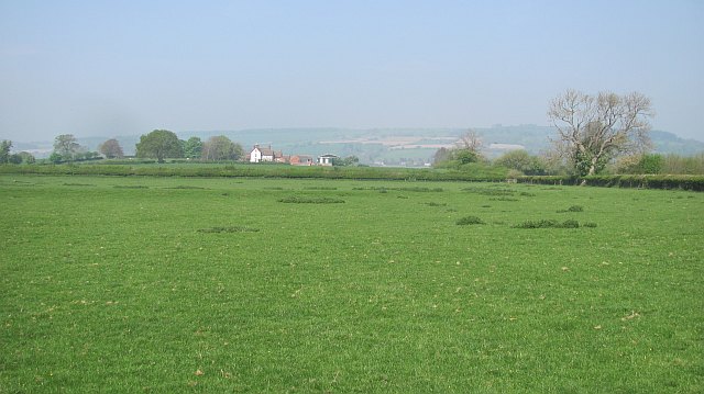
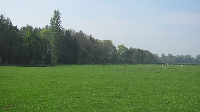
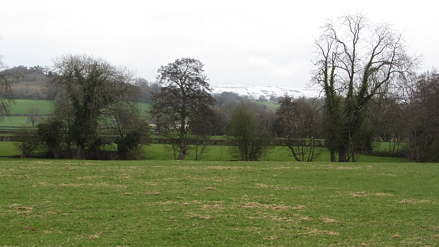
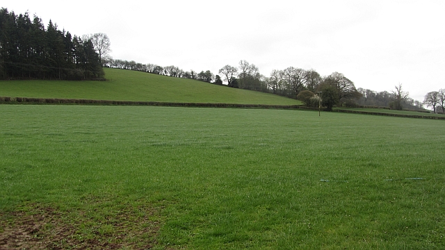
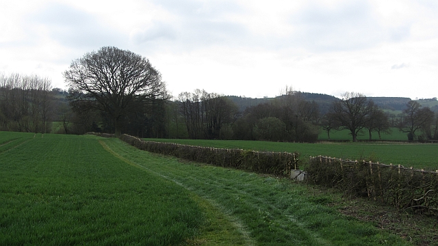
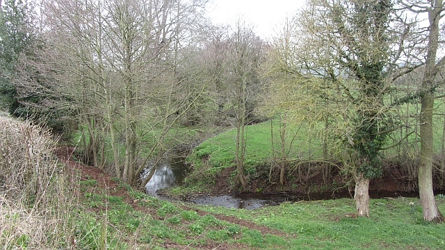
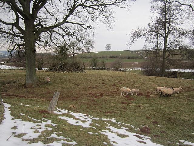
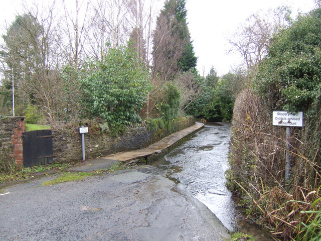
Wynett Coppice is a picturesque woodland located in the county of Shropshire, England. Situated near the village of Wynett, this forested area spans approximately 100 acres and is known for its natural beauty and diverse ecosystem.
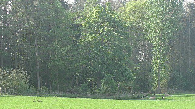
The coppice is mainly composed of deciduous trees, such as oak, ash, and beech, which create a dense canopy overhead, providing shade and shelter for a wide variety of wildlife. The forest floor is covered in a thick layer of leaf litter, creating a rich habitat for numerous plant species, including bluebells, wood sorrel, and ferns.
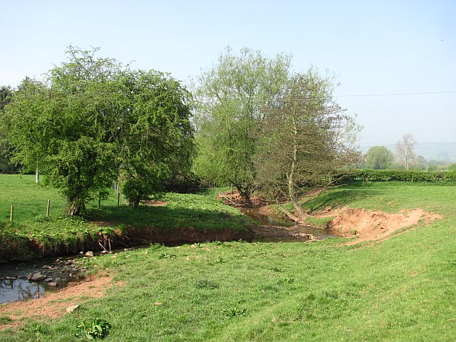
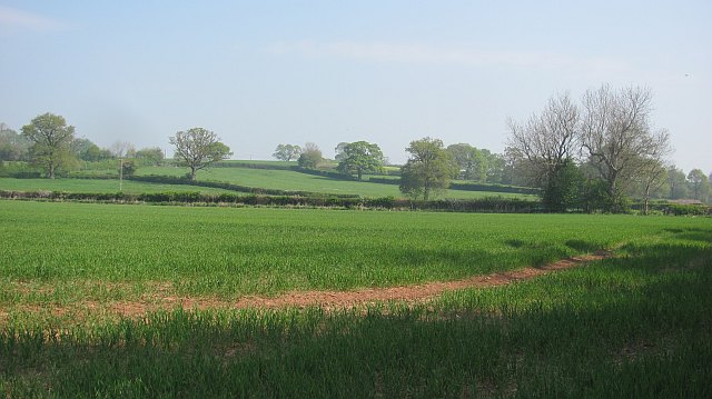
The woodland is crisscrossed by a network of footpaths and trails, allowing visitors to explore its enchanting surroundings. These paths lead to secluded clearings, small streams, and tranquil ponds, adding to the charm and serenity of the area. It is a popular destination for nature enthusiasts, hikers, and photographers, who often visit to capture the beauty and tranquility of the forest.
Throughout the year, Wynett Coppice offers a changing tapestry of colors, from the vibrant greens of spring and summer to the warm oranges and reds of autumn. The forest is particularly stunning during the autumn months when the leaves change, creating a magical and atmospheric setting.
Managed by local conservation organizations, the coppice is actively protected and maintained to preserve its natural habitat and biodiversity. The management includes periodic thinning of trees to promote healthy growth and improve the habitat for wildlife.
Overall, Wynett Coppice is a remarkable woodland that showcases the natural beauty of Shropshire. With its diverse plant and animal life, scenic trails, and peaceful ambiance, it offers a serene escape for those seeking solace in nature.
If you have any feedback on the listing, please let us know in the comments section below.
Wynett Coppice Images
Images are sourced within 2km of 52.469899/-2.6639826 or Grid Reference SO5485. Thanks to Geograph Open Source API. All images are credited.


Wynett Coppice is located at Grid Ref: SO5485 (Lat: 52.469899, Lng: -2.6639826)
Unitary Authority: Shropshire
Police Authority: West Mercia
What 3 Words
///states.essay.soaks. Near Cardington, Shropshire
Nearby Locations
Related Wikis
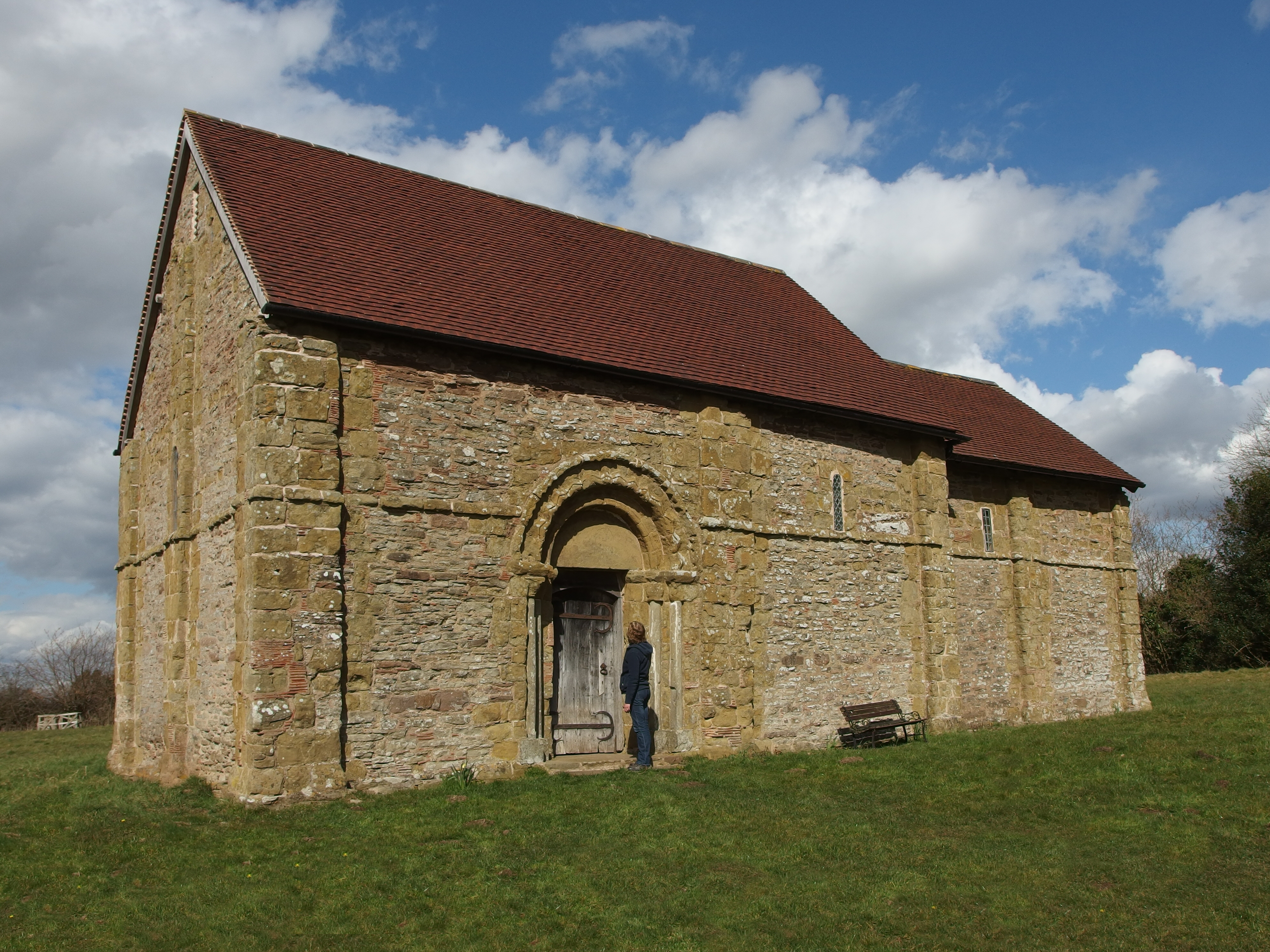
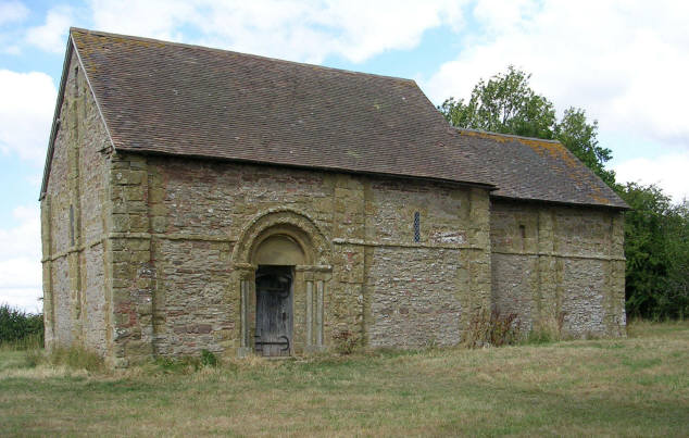
Heath Chapel
Heath Chapel is located in an isolated position in a field in the former civil parish of Heath, Shropshire, England. It is an Anglican chapel in the deanery...

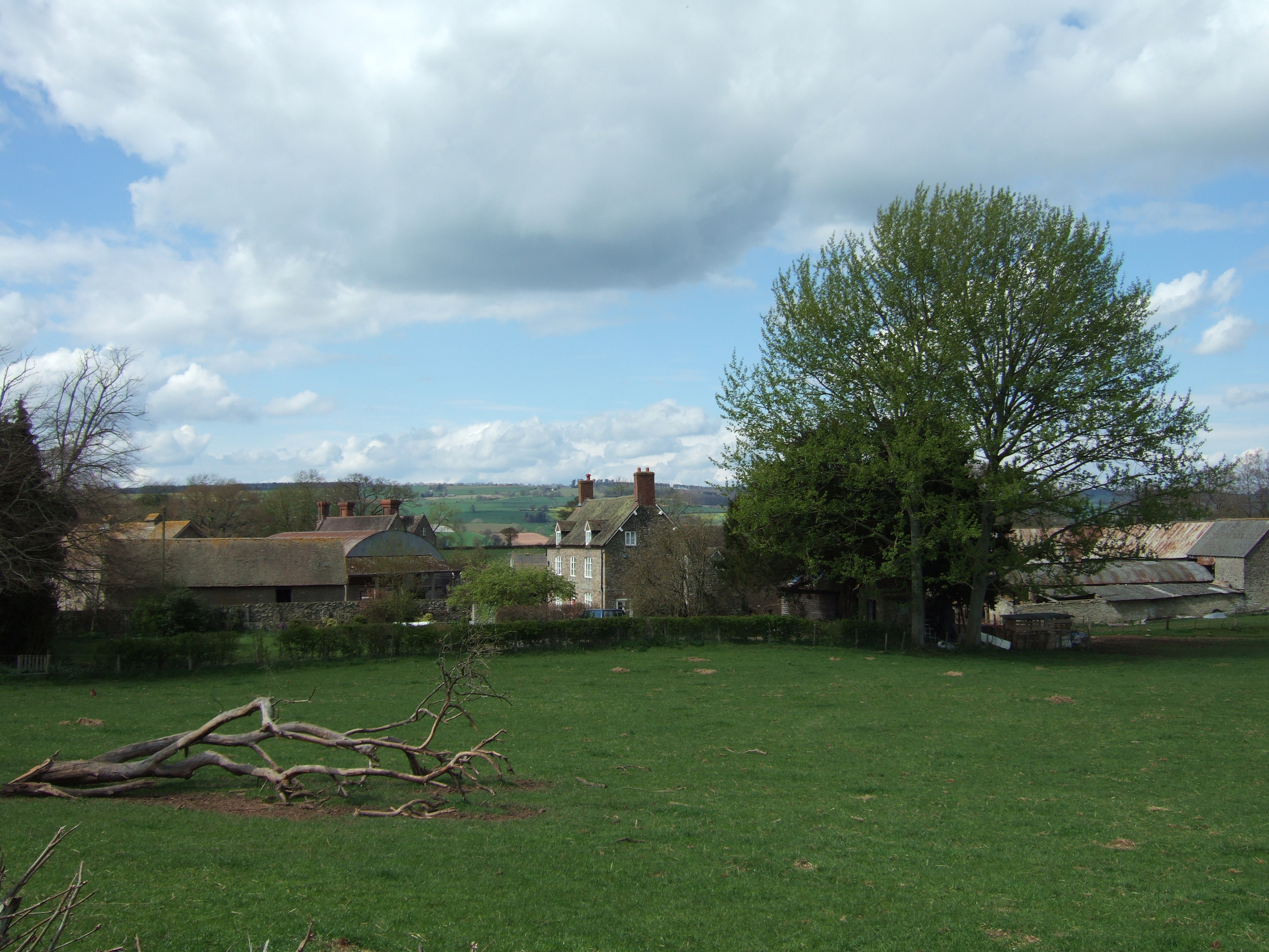
Bouldon
Bouldon is a hamlet in Shropshire, England. It lies in the civil parish of Diddlebury. The hamlet comprises approximately 14 houses, a number of agricultural...
Heath, Shropshire
Heath is a hamlet and former civil parish, now in the parish of Abdon and Heath, in the Clee Hills area of Shropshire, England. The settlement and wider...

Tugford
Tugford is a village and former civil parish, now in the parish of Abdon and Heath, in the Shropshire district, in the ceremonial county of Shropshire...
Peaton
Peaton is a hamlet in the civil parish of Diddlebury in Shropshire, England. It is situated in the Corvedale, between Diddlebury and Bouldon. The Pye Brook...
Clee St. Margaret
Clee St. Margaret is a small village and civil parish in the Clee Hills area of Shropshire, England. It is seven miles north east (about a fifteen-minute...

Abdon, Shropshire
Abdon is an upland village and former civil parish, now in the parish of Abdon and Heath, in Shropshire, England. In 2011 the parish had a population of...

Munslow (hundred)
Munslow is a hundred of Shropshire, England. It was formed with the amalgamation of the Anglo-Saxon hundreds of Patton and Culvestan during the reign of...
Have you been to Wynett Coppice?
Leave your review of Wynett Coppice below (or comments, questions and feedback).