Slips Plantation

Wood, Forest in Shropshire

England

Slips Plantation

Woodland by A49 north of Prees The road which became the A49 ran through Prees.  When Prees was bypassed, the old road (named Whitchurch Road) was realigned to have a right-angle junction with the A49 just south of the wood.  The trees in this small woodland mark the old route
Woodland by A49 north of Prees Credit: David Smith

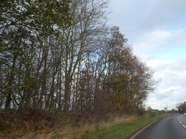
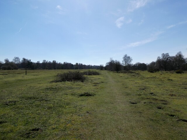
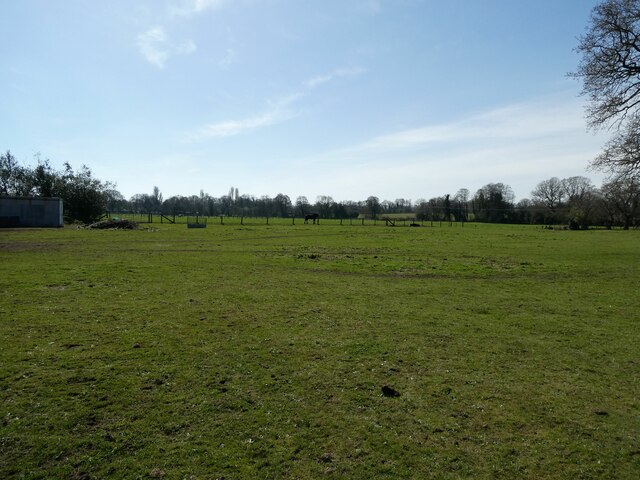
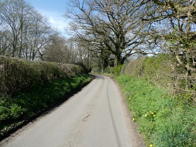
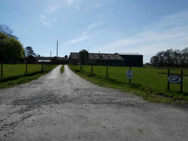
Slips Plantation, located in Shropshire, England, is a picturesque woodland area known for its rich biodiversity and natural beauty. Spanning over a vast area, the plantation is a haven for various species of trees, plants, and wildlife, making it an ideal destination for nature enthusiasts and outdoor lovers.

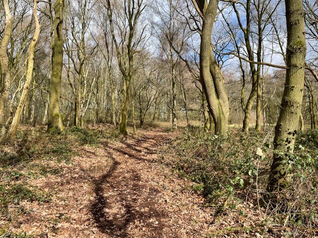
The woodland primarily consists of a mix of deciduous and coniferous trees, including oak, birch, beech, and pine. These trees create a dense canopy that filters sunlight, casting beautiful dappled shadows on the forest floor. The woodland is also home to a variety of shrubs, ferns, and wildflowers, which add to its vibrant and colorful ambiance.

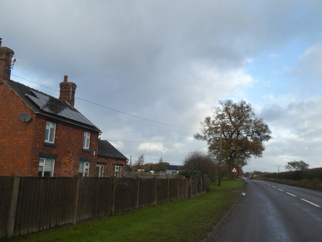
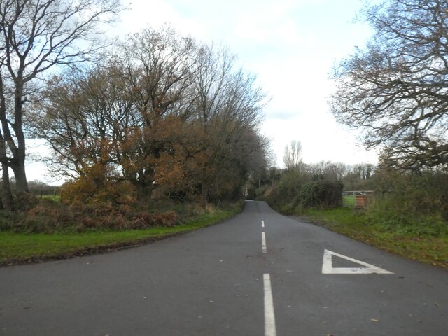
Slips Plantation offers a range of walking trails that allow visitors to explore its diverse ecosystem. The trails wind through the woodlands, offering breathtaking views of the surrounding countryside and providing opportunities for birdwatching and wildlife spotting. Common sightings in the area include deer, foxes, badgers, and a multitude of bird species.

As a protected area, Slips Plantation plays a crucial role in maintaining the ecological balance of the region. Conservation efforts are in place to preserve the natural habitat and promote sustainable practices. The plantation also serves as a vital carbon sink, absorbing carbon dioxide from the atmosphere and mitigating the effects of climate change.

Slips Plantation, with its serene atmosphere and abundant natural beauty, offers a tranquil escape from the hustle and bustle of everyday life. It is a place where visitors can reconnect with nature, appreciate its wonders, and enjoy the peacefulness of the woodland environment.

If you have any feedback on the listing, please let us know in the comments section below.

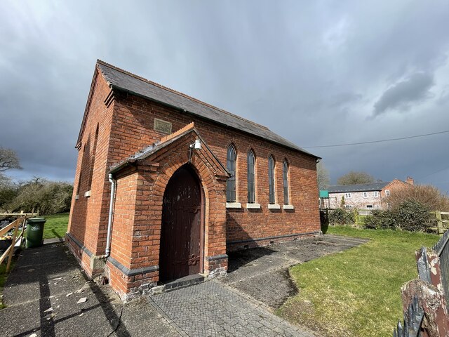
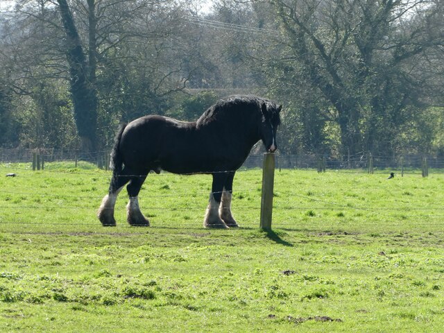
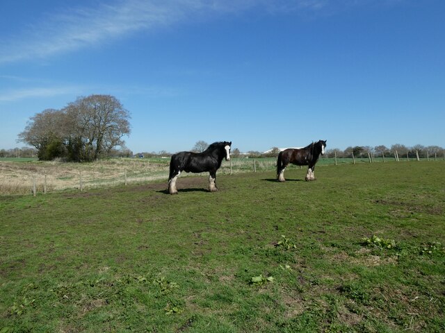
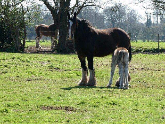
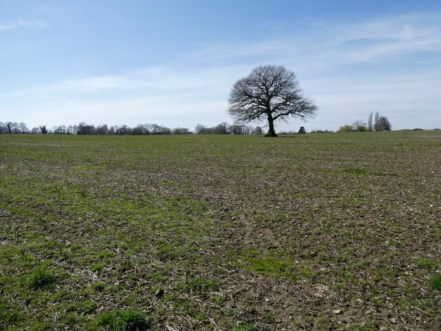
Slips Plantation Images

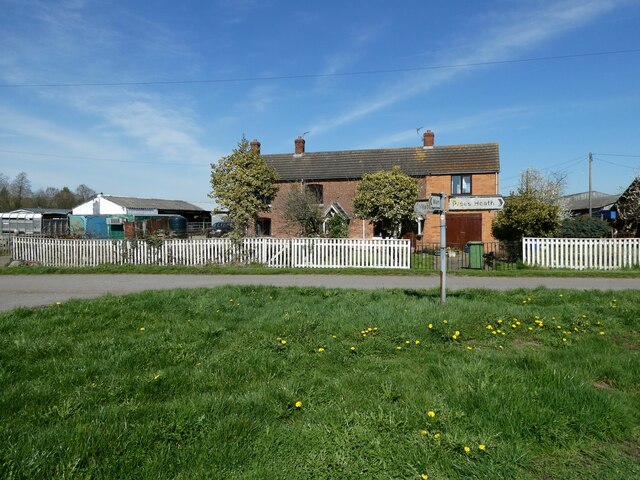
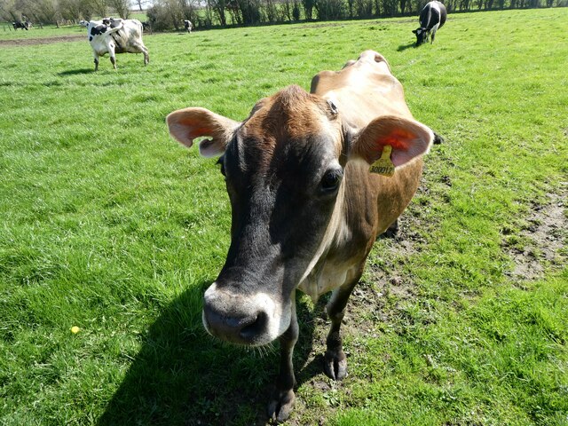
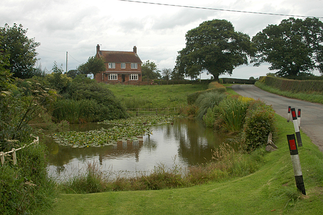
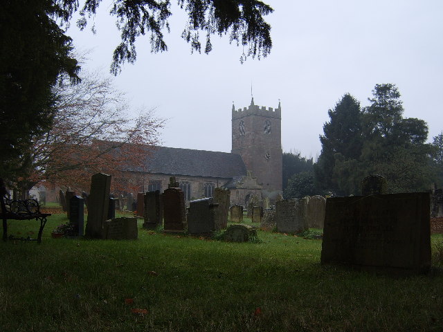
Images are sourced within 2km of 52.91571/-2.6706794 or Grid Reference SJ5435. Thanks to Geograph Open Source API. All images are credited.

Woodland by A49 north of Prees The road which became the A49 ran through Prees.  When Prees was bypassed, the old road (named Whitchurch Road) was realigned to have a right-angle junction with the A49 just south of the wood.  The trees in this small woodland mark the old route
Woodland by A49 north of Prees
The road which became the A49 ran through Prees. When Prees was bypassed, the old road (named Whitchurch Road) was realigned to have a right-angle junction with the A49 just south of the wood. The trees in this small woodland mark the old route
House and tree by A49 south of Prees Higher Heath The A49 is a major road, which traverses the Welsh Marches region. It runs north from Ross-on-Wye in Herefordshire via Hereford, Leominster, Ludlow, Shrewsbury and Whitchurch, then continues to Warrington and Wigan before terminating at its junction with the A6 road just south of Bamber Bridge, near the junction of the M6, M65 and M61 motorways.
House and tree by A49 south of Prees Higher Heath
The A49 is a major road, which traverses the Welsh Marches region. It runs north from Ross-on-Wye in Herefordshire via Hereford, Leominster, Ludlow, Shrewsbury and Whitchurch, then continues to Warrington and Wigan before terminating at its junction with the A6 road just south of Bamber Bridge, near the junction of the M6, M65 and M61 motorways.
Road to Steel Heath from A49 The A49 is a major road, which traverses the Welsh Marches region. It runs north from Ross-on-Wye in Herefordshire via Hereford, Leominster, Ludlow, Shrewsbury and Whitchurch, then continues to Warrington and Wigan before terminating at its junction with the A6 road just south of Bamber Bridge, near the junction of the M6, M65 and M61 motorways.
Road to Steel Heath from A49
The A49 is a major road, which traverses the Welsh Marches region. It runs north from Ross-on-Wye in Herefordshire via Hereford, Leominster, Ludlow, Shrewsbury and Whitchurch, then continues to Warrington and Wigan before terminating at its junction with the A6 road just south of Bamber Bridge, near the junction of the M6, M65 and M61 motorways.
Steel Heath near Prees Heath This is a small nature reserve. It must be much valued by wildlife, but rarely visited by humans - no access or tracks.
Steel Heath near Prees Heath
This is a small nature reserve. It must be much valued by wildlife, but rarely visited by humans - no access or tracks.
Primitive Methodist Chapel, just south of Cotonwood No longer in use, but a well maintained, adjacent, fenced-off graveyard.
Primitive Methodist Chapel, just south of Cotonwood
No longer in use, but a well maintained, adjacent, fenced-off graveyard.
Compound beside the Shropshire Way at Prees Heath Equerry Horse Feeds.
Compound beside the Shropshire Way at Prees Heath
Equerry Horse Feeds.
The Shropshire Way at Prees Heath A joy to walk.
The Shropshire Way at Prees Heath
A joy to walk.
Fields beside the Shropshire Way These fields or paddocks proved to be full of cart horses.
Fields beside the Shropshire Way
These fields or paddocks proved to be full of cart horses.
Horse near the Shropshire Way A massive neck and lots of poise, could this be an Ardennes horse? Wikipedia article  <span class="nowrap"><a title="https://en.wikipedia.org/wiki/Ardennais" rel="nofollow ugc noopener" href="https://en.wikipedia.org/wiki/Ardennais">Link</a><img style="margin-left:2px;" alt="External link" title="External link - shift click to open in new window" src="https://s1.geograph.org.uk/img/external.png" width="10" height="10"/></span> here.
Horse near the Shropshire Way
A massive neck and lots of poise, could this be an Ardennes horse? Wikipedia article LinkExternal link here.
Draught horses beside the Shropshire Way Gorgeous gentle giants.
Draught horses beside the Shropshire Way
Gorgeous gentle giants.
Mare and foal beside the Shropshire Way in spring Perfect pair.
Mare and foal beside the Shropshire Way in spring
Perfect pair.
On part of the Shropshire Way Great walking on a spring day.
On part of the Shropshire Way
Great walking on a spring day.
On the lane Following the Shropshire Way.
On the lane
Following the Shropshire Way.
Steel Farm entrance Looks like a very businesslike place.
Steel Farm entrance
Looks like a very businesslike place.
Railway line at Steel Heath Dairy land.
Railway line at Steel Heath
Dairy land.
Railway line at Steel Heath Looking north.
Railway line at Steel Heath
Looking north.
Cottages at Steel Heath Nice old row.
Cottages at Steel Heath
Nice old row.
Dairy herd at Steel Heath This new friend seems keen to know more about me.  She licked my hand with her rough raspy tongue. Her gentle and pretty face emanated curiosity, benevolence and intelligence.  I wish I could have stopped to chat longer.
Dairy herd at Steel Heath
This new friend seems keen to know more about me. She licked my hand with her rough raspy tongue. Her gentle and pretty face emanated curiosity, benevolence and intelligence. I wish I could have stopped to chat longer.
Show me another place!

Slips Plantation is located at Grid Ref: SJ5435 (Lat: 52.91571, Lng: -2.6706794)

Unitary Authority: Shropshire

Police Authority: West Mercia

What 3 Words

///horn.panting.airfields. Near Prees, Shropshire

Related Wikis

Prees Higher Heath

Prees Higher Heath (commonly shortened to Higher Heath) is a large village located within the civil parish of Prees in north Shropshire, England. ��2...

Prees Heath Common

Prees Heath Common is a nature reserve near Whitchurch in the county of Shropshire, England. Butterfly Conservation owns and manages this reserve. It comprises...

Coton, Shropshire

Coton is a village in Shropshire. It lies near the road from Whitchurch to Wem, about one mile southeast of Hollinwood. Coton Hall, once home to Viscount...

Prees

Prees () is a village and civil parish in north Shropshire, near the border between England and Wales. Its name is Celtic and means "brushwood". ��2�...

Nearby Amenities

Located within 500m of 52.91571,-2.6706794
Power: pole
Lat/Long: 52.9184319/-2.6656383
Power: pole
Lat/Long: 52.9177446/-2.6655901
Power: pole
Lat/Long: 52.9168389/-2.6660273
Power: pole
Lat/Long: 52.916014/-2.6664108
Power: pole
Lat/Long: 52.9152765/-2.6667863
Power: pole
Lat/Long: 52.9144403/-2.6671967
Power: pole
Lat/Long: 52.9136171/-2.6675937
Power: pole
Lat/Long: 52.9127113/-2.6680174
Power: pole
Lat/Long: 52.911943/-2.6683876
The data included in this document is from www.openstreetmap.org. The data is made available under ODbL.

Have you been to Slips Plantation?

Leave your review of Slips Plantation below (or comments, questions and feedback).