Hall Hill

Hill, Mountain in Westmorland South Lakeland

England

Hall Hill

M6 northbound near Goose Green
M6 northbound near Goose Green Credit: Alpin Stewart

Hall Hill is a prominent hill located in the Westmorland region of England, specifically in the northwestern part of the county. Rising to an elevation of approximately 419 meters (1,375 feet), it is considered one of the notable peaks in the region.

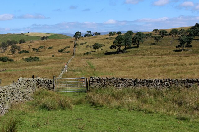
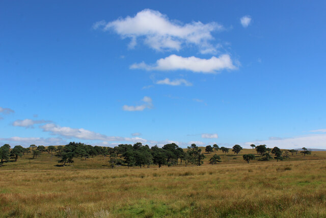
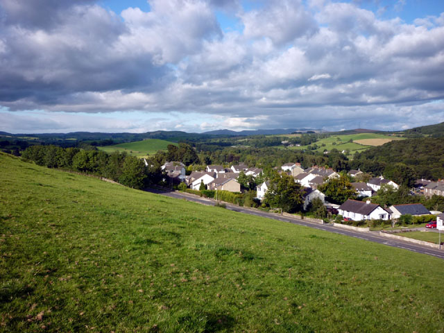
Situated in the picturesque landscape of the Lake District National Park, Hall Hill offers breathtaking panoramic views of the surrounding countryside. The hill is characterized by its gentle slopes covered in lush greenery, with scattered rocky outcrops adding to its natural appeal. It is a popular destination for hikers and nature enthusiasts, offering a range of walking trails that cater to different skill levels.

The summit of Hall Hill provides an excellent vantage point, allowing visitors to enjoy stunning vistas of the nearby valleys, rolling hills, and shimmering lakes. On a clear day, it is even possible to catch glimpses of some of the famous peaks in the Lake District, such as Helvellyn and Skiddaw.

The hill is also home to a diverse range of flora and fauna, with various species of birds and mammals inhabiting the area. Nature lovers can spot red squirrels, deer, and a myriad of bird species as they explore the hill's trails.

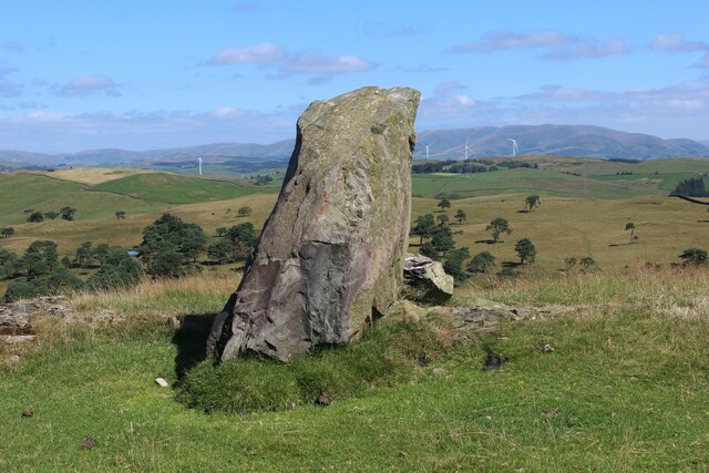
In addition to its natural beauty, Hall Hill boasts a rich history, with remnants of ancient settlements and stone circles found in the vicinity. These archaeological sites add an intriguing dimension to the overall experience of visiting the hill.

Overall, Hall Hill in Westmorland is a captivating destination that combines natural splendor, outdoor activities, and historical significance, making it a must-visit for those seeking to immerse themselves in the enchanting beauty of the Lake District.

If you have any feedback on the listing, please let us know in the comments section below.
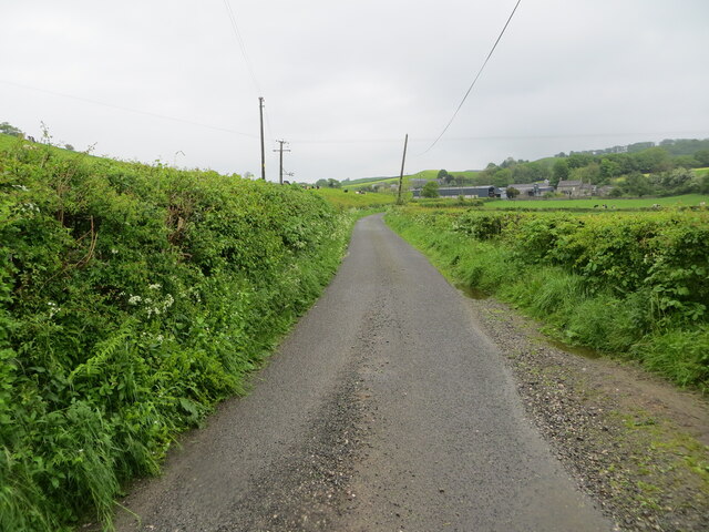
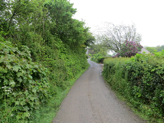
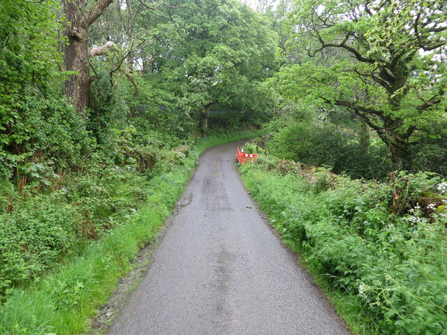
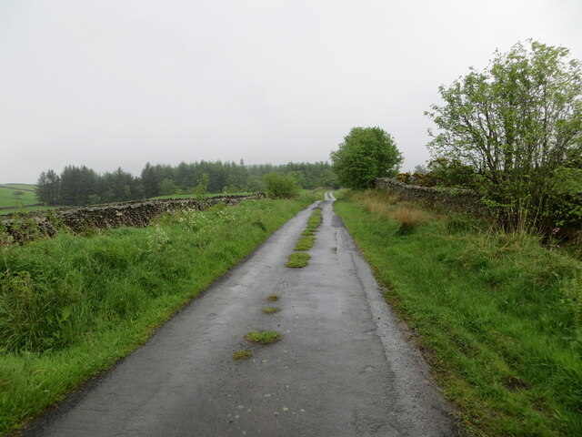
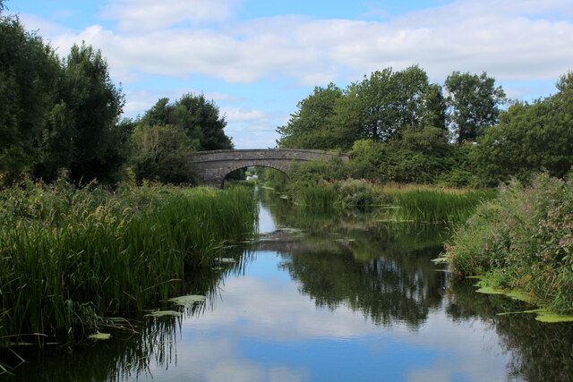
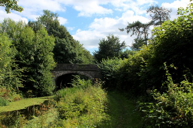
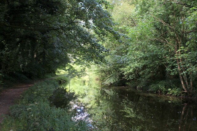
Hall Hill Images

Images are sourced within 2km of 54.251352/-2.6926012 or Grid Reference SD5484. Thanks to Geograph Open Source API. All images are credited.

M6 northbound near Goose Green
Bridge over M6 northbound
M6 North of Junction 36 The M6 motorway runs from junction 19 of the M1 at the Catthorpe Interchange, near Rugby to the Gretna junction (J45). Here it becomes the A74(M) and M74 which continues to Glasgow.

The M6 is the longest motorway in the United Kingdom (232 miles) and one of the busiest. It incorporates the first length of motorway opened in the UK (the Preston bypass in 1958) and forms part of a motorway "Backbone of Britain", running north-south between London and Glasgow via the industrial north of England. It is also part of the east-west route between the Midlands and the east coast ports.
M6 North of Junction 36
The M6 motorway runs from junction 19 of the M1 at the Catthorpe Interchange, near Rugby to the Gretna junction (J45). Here it becomes the A74(M) and M74 which continues to Glasgow. The M6 is the longest motorway in the United Kingdom (232 miles) and one of the busiest. It incorporates the first length of motorway opened in the UK (the Preston bypass in 1958) and forms part of a motorway "Backbone of Britain", running north-south between London and Glasgow via the industrial north of England. It is also part of the east-west route between the Midlands and the east coast ports.
Signage  - M6 northbound
Signage - M6 northbound
Bridge  - M6 northbound
Bridge - M6 northbound
Hedge-lined minor road approaching Yew Tree Farm Looking north-eastward.
Hedge-lined minor road approaching Yew Tree Farm
Looking north-eastward.
Hedge-lined minor road near to Black Yeats Looking south-westward.
Hedge-lined minor road near to Black Yeats
Looking south-westward.
Minor road at Hellgill Bridge Looking southward. The bridge parapet awaits repair.
Minor road at Hellgill Bridge
Looking southward. The bridge parapet awaits repair.
Wall enclosed minor road near to Warth Looking eastward.
Wall enclosed minor road near to Warth
Looking eastward.
Grazing land west of Endmoor
Stubb Farm, Endmoor
Stubb Farm, Endmoor
Lancaster Canal at Millness The canal is no longer navigable at this juncture, since the construction of the M6 motorway.
It is, however, a fine place to walk and admire the diverse array of vegetation.
Lancaster Canal at Millness
The canal is no longer navigable at this juncture, since the construction of the M6 motorway. It is, however, a fine place to walk and admire the diverse array of vegetation.
The A65 crosses the Lancaster Canal at Millness Hill Bridge No. 163 on the Lancaster Canal, which is no longer navigable at this point, although it does display a wide range of water vegetation - much of it floating on the surface.
The A65 crosses the Lancaster Canal at Millness Hill
Bridge No. 163 on the Lancaster Canal, which is no longer navigable at this point, although it does display a wide range of water vegetation - much of it floating on the surface.
Lancaster Canal at Millness Hill No longer navigable along this stretch since the construction of the M6 motorway.
Lancaster Canal at Millness Hill
No longer navigable along this stretch since the construction of the M6 motorway.
Standing Stone on Scout Hill Not sure if this stone has been erected in this position, or is a natural formation. For the amount of effort required to reach this summit - the view exceeds expectation.
This looks north towards the distant Howgill Fells.
Also visible from the broad top of Scout Hill the observer can see The Lakes District Fells, Wild Boar Fell, Middleton Fell, Ingleborough, Bowland, Morecambe Bay, Arnside Knott, Grange and Blackpool Tower
Standing Stone on Scout Hill
Not sure if this stone has been erected in this position, or is a natural formation. For the amount of effort required to reach this summit - the view exceeds expectation. This looks north towards the distant Howgill Fells. Also visible from the broad top of Scout Hill the observer can see The Lakes District Fells, Wild Boar Fell, Middleton Fell, Ingleborough, Bowland, Morecambe Bay, Arnside Knott, Grange and Blackpool Tower
Bridleway approaching Cragmire Plantation Running below the western flanks of Scout Hill towards a plantation of sparse scattered Scots Pine.
Bridleway approaching Cragmire Plantation
Running below the western flanks of Scout Hill towards a plantation of sparse scattered Scots Pine.
Cragmire Plantation A sparse plantation dotted with random Scots Pine
Cragmire Plantation
A sparse plantation dotted with random Scots Pine
Path leading up to the minor road near Hellgill Bridge Public footpath follows the hedgerow - heavily churned up, making for awkward progress.
Path leading up to the minor road near Hellgill Bridge
Public footpath follows the hedgerow - heavily churned up, making for awkward progress.
Show me another place!

Hall Hill is located at Grid Ref: SD5484 (Lat: 54.251352, Lng: -2.6926012)

Administrative County: Cumbria

District: South Lakeland

Police Authority: Cumbria

What 3 Words

///browsers.daydreams.person. Near Milnthorpe, Cumbria

Related Wikis

Preston Patrick

Preston Patrick is a village and civil parish in South Lakeland, Cumbria, England. It has junction 36 of the M6 motorway in its south west corner and extends...

Endmoor

Endmoor is a small village within Cumbria, England, situated close to the A65 road. It is about 5 miles (8 km) from Kendal, just south of Oxenholme, and...

St Patrick's Church, Preston Patrick

St Patrick's Church is the parish church of Preston Patrick, Cumbria, England. It is an active Anglican church, one of eight parish churches served by...

Crooklands

Crooklands is a village in South Lakeland, Cumbria, England, 4.5 miles (7.2 km) south of Kendal on the A65 road. Historically part of Westmorland, the...

Nearby Amenities

Located within 500m of 54.251352,-2.6926012
Man Made: street_cabinet
Lat/Long: 54.2541977/-2.6934974
Man Made: street_cabinet
Lat/Long: 54.2535036/-2.6946909
Man Made: street_cabinet
Lat/Long: 54.2534627/-2.6945509
Man Made: street_cabinet
Lat/Long: 54.2535234/-2.6945098
Location Transition: yes
Material: wood
Power: pole
Lat/Long: 54.2536229/-2.6948797
Material: wood
Power: pole
Lat/Long: 54.2538983/-2.6960912
Power: pole
Lat/Long: 54.2541909/-2.6978217
Give Way
Direction: forward
Lat/Long: 54.2541419/-2.6871068
Power: pole
Lat/Long: 54.2536542/-2.6886546
Power: pole
Lat/Long: 54.2537469/-2.6874058
Power: pole
Lat/Long: 54.253189/-2.6856135
Power: pole
Lat/Long: 54.2535461/-2.6906173
Power: pole
Lat/Long: 54.2534568/-2.6919102
Location Transition: yes
Power: pole
Lat/Long: 54.2536834/-2.6927446
Power: pole
Lat/Long: 54.2522346/-2.6856135
Man Made: street_cabinet
Lat/Long: 54.2495929/-2.6970013
Man Made: street_cabinet
Lat/Long: 54.2496128/-2.6969949
Cox Bank
Place: locality
Lat/Long: 54.2507468/-2.6863875
The data included in this document is from www.openstreetmap.org. The data is made available under ODbL.

Have you been to Hall Hill?

Leave your review of Hall Hill below (or comments, questions and feedback).