Goose Green

Settlement in Westmorland South Lakeland

England

Goose Green

Preston Patrick in winter View across fields to School Houses and St. Patrick's Church.
Preston Patrick in winter Credit: Ian Taylor

The requested URL returned error: 429 Too Many Requests

If you have any feedback on the listing, please let us know in the comments section below.
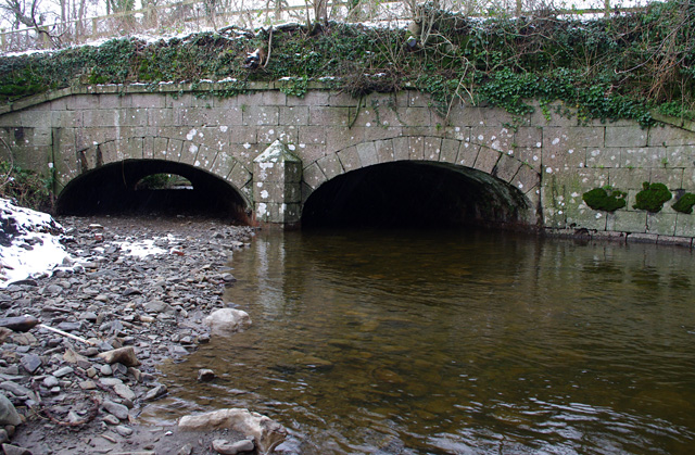
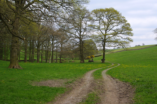
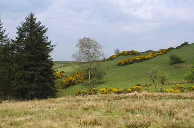
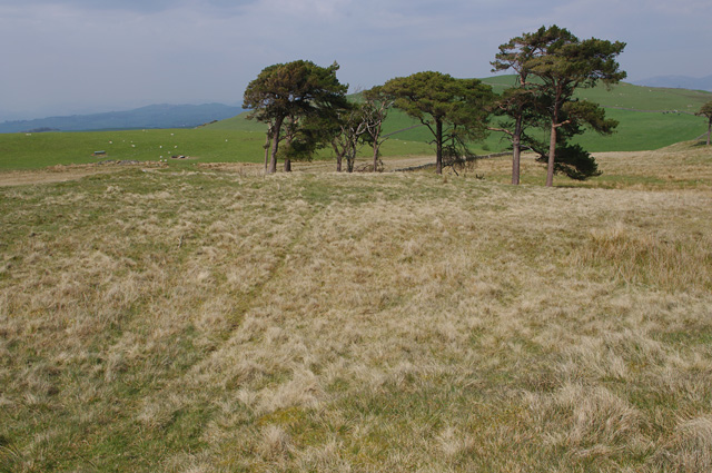
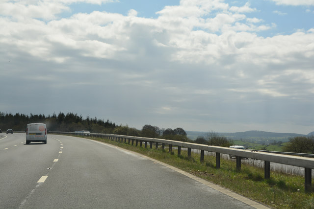
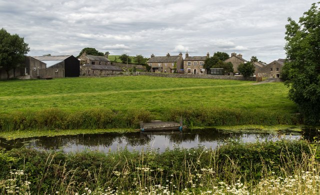
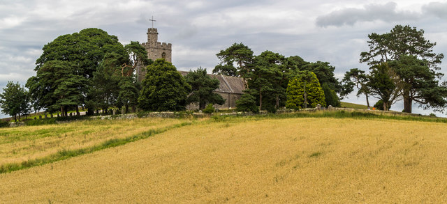
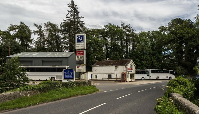
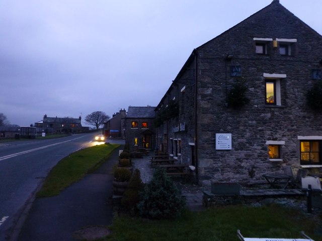
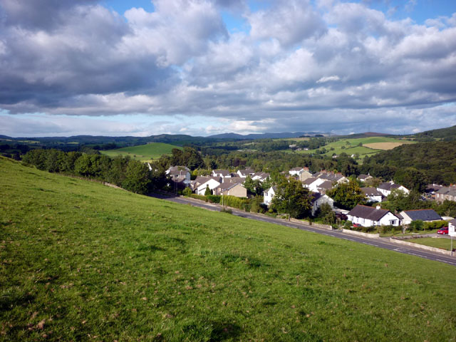
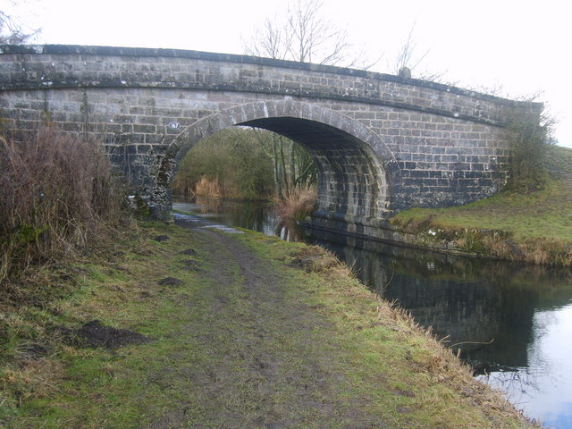
Goose Green Images

Images are sourced within 2km of 54.255978/-2.694551 or Grid Reference SD5484. Thanks to Geograph Open Source API. All images are credited.

Preston Patrick in winter View across fields to School Houses and St. Patrick's Church.
Preston Patrick in winter
View across fields to School Houses and St. Patrick's Church.
Crooklands Aqueduct, Lancaster Canal Bridge 165, over Peasey Beck.
Crooklands Aqueduct, Lancaster Canal
Bridge 165, over Peasey Beck.
Weirs on Peasey Beck A leat from the upper weir supplies water to the Lancaster Canal.
Weirs on Peasey Beck
A leat from the upper weir supplies water to the Lancaster Canal.
Weir on Peasey Beck A leat from above this weir supplies water to the Lancaster Canal.
Weir on Peasey Beck
A leat from above this weir supplies water to the Lancaster Canal.
Site of tramway bridge A horse-drawn tramway, built in 1874 and abandoned in 1937, connected the Gatebeck gunpowder works with Wakefield's Wharf on the Lancaster Canal <a href="https://www.geograph.org.uk/photo/4271303">SD5383 : Lancaster Canal, Crooklands</a>, and Milnthorpe station.
Here, the abutments of a skew bridge across Peasey Beck are still visible (on left, and across beck at  centre right).
Site of tramway bridge
A horse-drawn tramway, built in 1874 and abandoned in 1937, connected the Gatebeck gunpowder works with Wakefield's Wharf on the Lancaster Canal SD5383 : Lancaster Canal, Crooklands, and Milnthorpe station. Here, the abutments of a skew bridge across Peasey Beck are still visible (on left, and across beck at centre right).
Route of tramway A horse-drawn tramway, built in 1874 and abandoned in 1937, connected the Gatebeck gunpowder works with Wakefield's Wharf on the Lancaster Canal, and Milnthorpe station.
Behind the camera, the tramway crossed Peasey Beck <a href="https://www.geograph.org.uk/photo/4942095">SD5484 : Site of tramway bridge</a>.
Route of tramway
A horse-drawn tramway, built in 1874 and abandoned in 1937, connected the Gatebeck gunpowder works with Wakefield's Wharf on the Lancaster Canal, and Milnthorpe station. Behind the camera, the tramway crossed Peasey Beck SD5484 : Site of tramway bridge.
Challon Hall Bridge This bridge carries a minor road over Peasey Beck, and is currently closed due to flood damage.
This photo does not show that the abutment on the left (right bank) has been seriously undermined and has temporary supports (acro props) in place.
Challon Hall Bridge
This bridge carries a minor road over Peasey Beck, and is currently closed due to flood damage. This photo does not show that the abutment on the left (right bank) has been seriously undermined and has temporary supports (acro props) in place.
Goose Green Birks Beck is in the foreground. It appears that some clearance of the beck bed has recently taken place.
Goose Green
Birks Beck is in the foreground. It appears that some clearance of the beck bed has recently taken place.
Goose Green Rolling farmland.
Goose Green
Rolling farmland.
Track skirting Oak Wood A cow hides behind a tree.
Track skirting Oak Wood
A cow hides behind a tree.
Gate and gorse This inspection gate reveals the route of the Thirlmere Aqueduct.
Gate and gorse
This inspection gate reveals the route of the Thirlmere Aqueduct.
Warth Hill Rough grazing with gorse on the west side of the hill. Warth Wood is on the left.
Warth Hill
Rough grazing with gorse on the west side of the hill. Warth Wood is on the left.
Pine trees near Cragmire Plantation A diminishing group of Scots Pines. Which will be the last pine standing?
Pine trees near Cragmire Plantation
A diminishing group of Scots Pines. Which will be the last pine standing?
South Lakeland : The M6 Motorway Heading south on the M6 motorway.
South Lakeland : The M6 Motorway
Heading south on the M6 motorway.
Crooklands Houses in Crooklands.
Crooklands
Houses in Crooklands.
St Patrick's St Patrick's Church on St Gregory's Hill.
St Patrick's
St Patrick's Church on St Gregory's Hill.
Peasey Bridge Old filling station on the A65 at Peasey Bridge.
Peasey Bridge
Old filling station on the A65 at Peasey Bridge.
Crooklands Hotel Just before sunrise on a damp December morning.
Crooklands Hotel
Just before sunrise on a damp December morning.
Show me another place!

Goose Green is located at Grid Ref: SD5484 (Lat: 54.255978, Lng: -2.694551)

Administrative County: Cumbria

District: South Lakeland

Police Authority: Cumbria

What 3 Words

///contoured.helpfully.forget. Near Milnthorpe, Cumbria

Related Wikis

Endmoor

Endmoor is a small village within Cumbria, England, situated close to the A65 road. It is about 5 miles (8 km) from Kendal, just south of Oxenholme, and...

Preston Patrick

Preston Patrick is a village and civil parish in South Lakeland, Cumbria, England. It has junction 36 of the M6 motorway in its south west corner and extends...

Preston Richard

Preston Richard is a civil parish in South Lakeland, Cumbria, England. It includes the village of Endmoor, and the hamlets of Crooklands, Birkrigg Park...

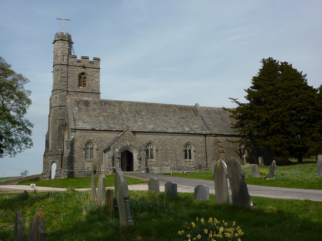
St Patrick's Church, Preston Patrick

St Patrick's Church is the parish church of Preston Patrick, Cumbria, England. It is an active Anglican church, one of eight parish churches served by...

Nearby Amenities

Located within 500m of 54.255978,-2.694551
Ford: yes
Lat/Long: 54.2581892/-2.6928787
Post Box
Ref: LA7 237
Source: survey
Lat/Long: 54.2568431/-2.6966872
Power: pole
Lat/Long: 54.2591563/-2.6964829
Power: pole
Lat/Long: 54.2585553/-2.6969369
Power: pole
Lat/Long: 54.2571643/-2.6979464
Power: pole
Lat/Long: 54.2565097/-2.6984391
Power: pole
Lat/Long: 54.2560667/-2.6992506
Power: pole
Lat/Long: 54.2556152/-2.7000862
Power: pole
Lat/Long: 54.2548449/-2.7015256
Power: pole
Lat/Long: 54.2561747/-2.7009
Fixme: Unfinished
Power: pole
Lat/Long: 54.256851/-2.7020046
Power: pole
Lat/Long: 54.2578774/-2.6974304
Power: pole
Lat/Long: 54.2599117/-2.6959458
Man Made: street_cabinet
Lat/Long: 54.2541977/-2.6934974
Man Made: street_cabinet
Lat/Long: 54.2535036/-2.6946909
Man Made: street_cabinet
Lat/Long: 54.2534627/-2.6945509
Man Made: street_cabinet
Lat/Long: 54.2535234/-2.6945098
Location Transition: yes
Material: wood
Power: pole
Lat/Long: 54.2536229/-2.6948797
Material: wood
Power: pole
Lat/Long: 54.2538983/-2.6960912
Power: pole
Lat/Long: 54.2541909/-2.6978217
Power: pole
Lat/Long: 54.2544767/-2.6995558
Power: pole
Lat/Long: 54.2536542/-2.6886546
Power: pole
Lat/Long: 54.2535461/-2.6906173
Power: pole
Lat/Long: 54.2534568/-2.6919102
Location Transition: yes
Power: pole
Lat/Long: 54.2536834/-2.6927446
The data included in this document is from www.openstreetmap.org. The data is made available under ODbL.

Have you been to Goose Green?

Leave your review of Goose Green below (or comments, questions and feedback).