Goose Green
Settlement in Lancashire
England
Goose Green
The requested URL returned error: 429 Too Many Requests
If you have any feedback on the listing, please let us know in the comments section below.
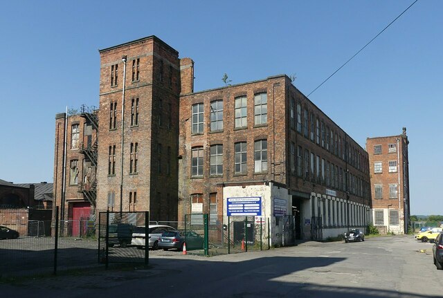
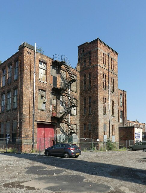
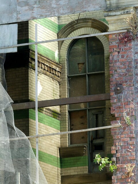
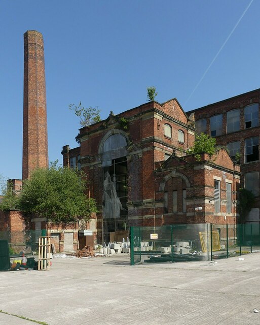
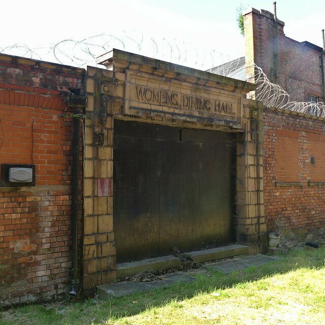
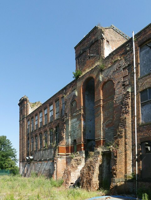
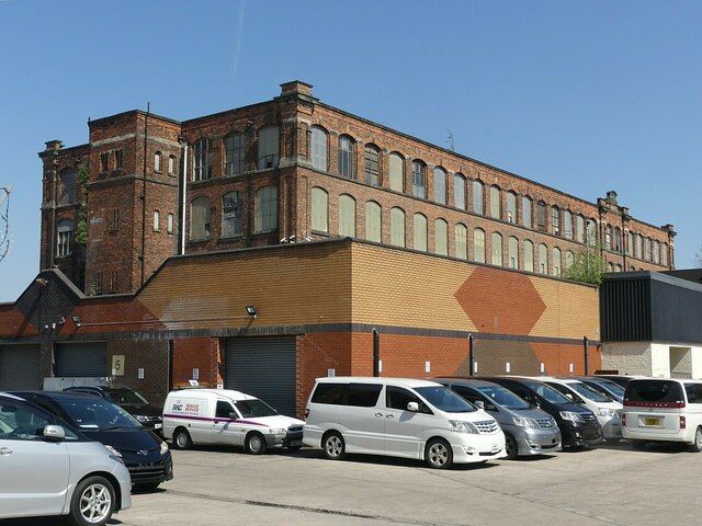
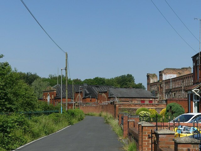
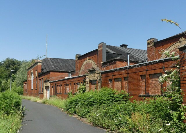
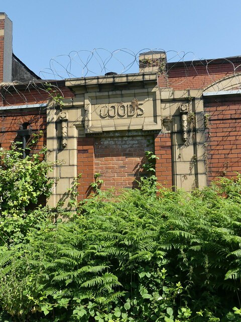
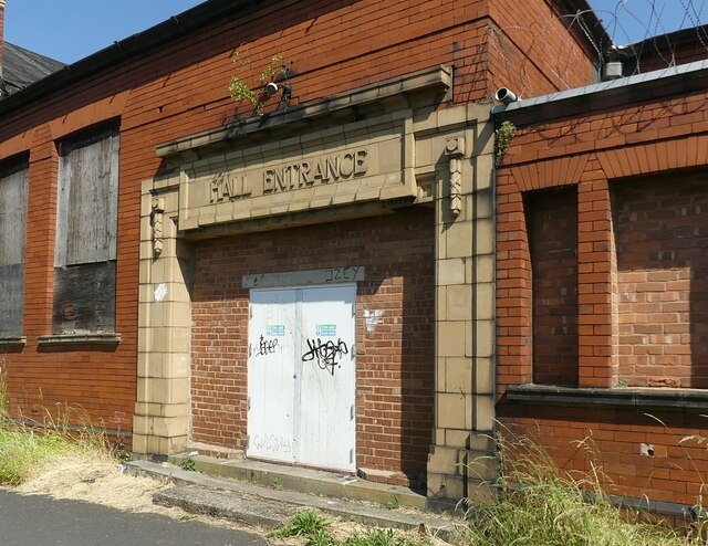
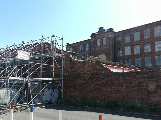
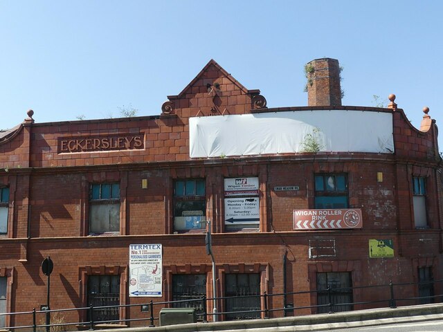
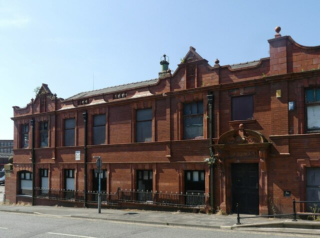
Goose Green Images
Images are sourced within 2km of 53.528588/-2.658457 or Grid Reference SD5603. Thanks to Geograph Open Source API. All images are credited.
Goose Green is located at Grid Ref: SD5603 (Lat: 53.528588, Lng: -2.658457)
Unitary Authority: Wigan
Police Authority: Greater Manchester
What 3 Words
///danger.shin.drama. Near Wigan, Manchester
Nearby Locations
Related Wikis

Goose Green, Greater Manchester
Goose Green is a mainly residential area of Wigan, Greater Manchester, England. Historically, it forms part of Lancashire. == References ==
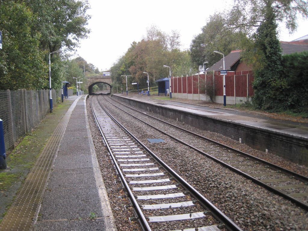
Pemberton railway station
Pemberton railway station serves the Pemberton area of Wigan in Greater Manchester, England. It is on the Kirkby branch line from Wigan Wallgate. The station...

St Jude's Church, Wigan
St Jude's Church is a Roman Catholic Parish church in the Worsley Mesnes area of Wigan, Greater Manchester. It was completed in 1965 and is a Grade II...
Pemberton Urban District
Pemberton Urban District was an urban district from 1894 to 1904, when it was added to the County Borough of Wigan. It included the township of Pemberton...
Nearby Amenities
Located within 500m of 53.528588,-2.658457Have you been to Goose Green?
Leave your review of Goose Green below (or comments, questions and feedback).