Dumbarrow Hill

Hill, Mountain in Angus

Scotland

Dumbarrow Hill

Kirkden Graveyard Kirkden graveyard situated on the edge of the village of Letham contains graves from as early as 1739 and the bell mounted on the wall belongs to the kirk which was demolished in 1952.
Kirkden Graveyard Credit: Mary Rodgers

Dumbarrow Hill is a prominent hill located in the county of Angus, Scotland. With an elevation of approximately 270 meters (886 feet), it falls under the category of a hill rather than a mountain. Situated near the village of Edzell, Dumbarrow Hill is a popular destination for outdoor enthusiasts and nature lovers.

The hill is characterized by its gently sloping terrain, covered in a mixture of grasses, heather, and scattered patches of trees. The landscape offers breathtaking panoramic views of the surrounding countryside, including the picturesque Angus Glens, rolling farmland, and the distant Grampian Mountains.

Dumbarrow Hill is easily accessible and attracts both locals and visitors alike. It serves as an excellent destination for hiking, walking, and nature watching. There are various paths and trails that wind their way to the summit, providing different levels of difficulty for all abilities. Along the way, walkers may encounter a variety of wildlife, including birds, rabbits, and even the occasional deer.

At the summit, there is a trig point, a concrete pillar used for surveying purposes, which offers a convenient reference point for determining the hill's precise location. On clear days, it is possible to see as far as the North Sea to the east and the Cairngorms National Park to the northwest.

Overall, Dumbarrow Hill provides a peaceful and scenic escape for those seeking outdoor activities, stunning views, and a chance to immerse themselves in the natural beauty of the Angus countryside.

If you have any feedback on the listing, please let us know in the comments section below.

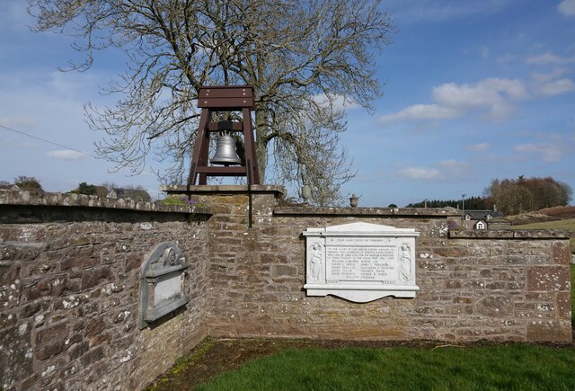
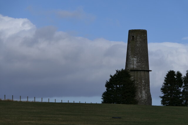
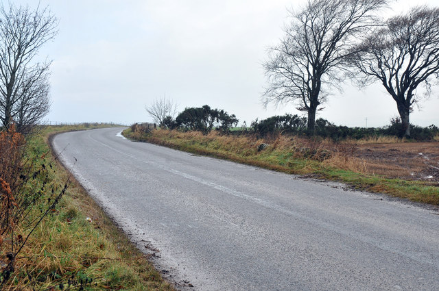
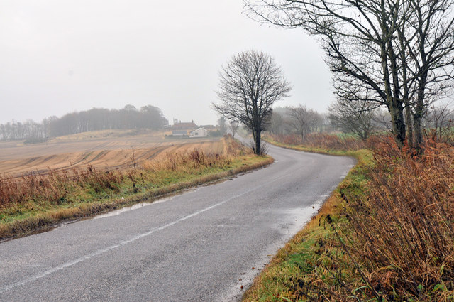
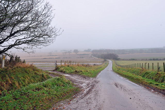
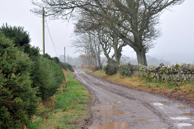
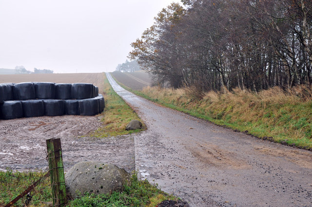
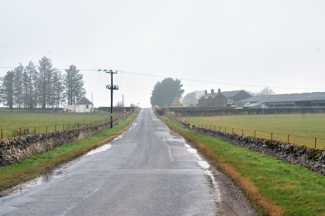
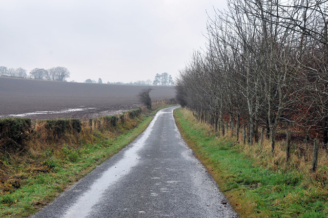
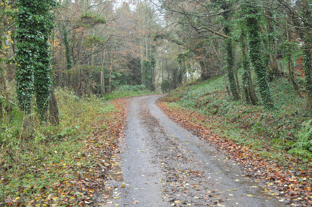
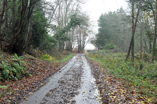
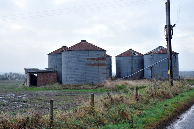
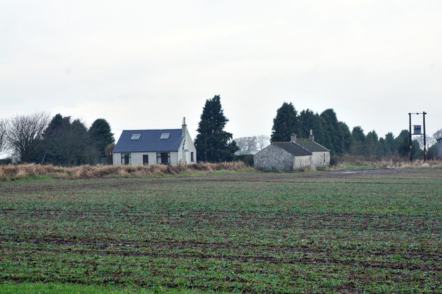
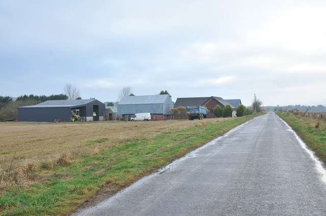
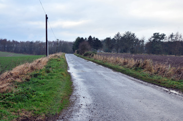
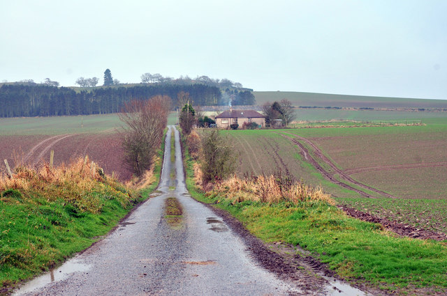
Dumbarrow Hill Images

Images are sourced within 2km of 56.62063/-2.7352748 or Grid Reference NO5447. Thanks to Geograph Open Source API. All images are credited.

Kirkden Graveyard Kirkden graveyard situated on the edge of the village of Letham contains graves from as early as 1739 and the bell mounted on the wall belongs to the kirk which was demolished in 1952.
Kirkden Graveyard
Kirkden graveyard situated on the edge of the village of Letham contains graves from as early as 1739 and the bell mounted on the wall belongs to the kirk which was demolished in 1952.
Dumbarrow Windmill Approx. 60 ft. high, 18 ft. dia.; graduated and with
cantilever platform. Stone and rubble construction with all workings removed. It may date from early 19th cent and is a local landmark.
Dumbarrow Windmill
Approx. 60 ft. high, 18 ft. dia.; graduated and with cantilever platform. Stone and rubble construction with all workings removed. It may date from early 19th cent and is a local landmark.
Minor road near Gask
Farm road to Ascurry
Farm road to Ascurry Mill
Farm road to Hillkirk
Road past Newton of Idvies
Minor road near Dumbarrow
Minor road near Dumbarrow Mill
Road junction near Gardyne
Silos near Gardyne
Silos near Gardyne
Fields and cottages at Gardyne
Road past Fallady Bank
Minor road near Idvies Mill
Farm road to Blairs of Dumbarrow
Road junction near Letham
Show me another place!

Dumbarrow Hill is located at Grid Ref: NO5447 (Lat: 56.62063, Lng: -2.7352748)

Unitary Authority: Angus

Police Authority: Tayside

What 3 Words

///appraised.chest.select. Near Letham, Angus

Nearby Locations

Dumbarrow Hill Idvies Hill

Related Wikis

Letham, Angus

Letham (Scots pronunciation: [ˈlɛθəm]) is a village in Angus, Scotland. Letham is the largest village in Angus, with a population of nearly 2,000. Situated...

Gardyne Castle

Gardyne Castle is a 16th-century tower house in Angus, Scotland. It is located 2 kilometres (1.2 mi) south-west of Friockheim. The castle is still in use...

Guthrie railway station

Guthrie railway station served the village of Guthrie, Angus, Scotland from 1838 to 1955 on the Arbroath and Forfar Railway. == History == The station...

Guthrie Castle

Guthrie Castle is a castle and country house in Angus, Scotland. It is located in the village of Guthrie, 10 kilometres (6.2 mi) east of Forfar, and 29...

Nearby Amenities

Located within 500m of 56.62063,-2.7352748
King's Well
Natural: spring
Lat/Long: 56.62151/-2.7299978
Dumbarrow Hill
Ele: 169
Natural: peak
Lat/Long: 56.6206406/-2.7353379
Dumbarrow Cottage
Place: isolated_dwelling
Lat/Long: 56.618123/-2.7354559
King's Chair
Alt Name: Arthur's Chair
Historic: archaeological_site
Lat/Long: 56.6212574/-2.7321085
Hillkirk
Place: isolated_dwelling
Lat/Long: 56.6201626/-2.7355489
Man Made: mast
Lat/Long: 56.6217807/-2.7357796
Manse Knowe
Natural: hill
Place: locality
Lat/Long: 56.6202444/-2.7325221
Power: pole
Lat/Long: 56.6200275/-2.7281612
Power: pole
Lat/Long: 56.6198524/-2.7293158
Power: pole
Lat/Long: 56.6195232/-2.7314858
Power: pole
Lat/Long: 56.6193411/-2.7326866
Power: pole
Lat/Long: 56.6191636/-2.7338568
Power: pole
Lat/Long: 56.6189818/-2.7350558
Power: pole
Lat/Long: 56.6188569/-2.7359329
Power: pole
Lat/Long: 56.6186929/-2.7370855
Power: pole
Lat/Long: 56.6185183/-2.738312
Power: pole
Lat/Long: 56.6183426/-2.7395465
Power: pole
Lat/Long: 56.6181854/-2.7406513
Power: pole
Lat/Long: 56.6180104/-2.7418809
Power: pole
Lat/Long: 56.6196924/-2.7303704
The data included in this document is from www.openstreetmap.org. The data is made available under ODbL.

Have you been to Dumbarrow Hill?

Leave your review of Dumbarrow Hill below (or comments, questions and feedback).