Leigh Woods

Wood, Forest in Somerset

England

Leigh Woods

Clifton Downs - looking towards the water tower
Clifton Downs - looking towards the water tower Credit: John Phillips

Leigh Woods is a picturesque woodland located in Somerset, England. It is situated on the southern side of the Avon Gorge, just across the River Avon from the city of Bristol. Covering an area of approximately 1.8 square kilometers, Leigh Woods is a designated Site of Special Scientific Interest (SSSI) due to its rich biodiversity and historical significance.

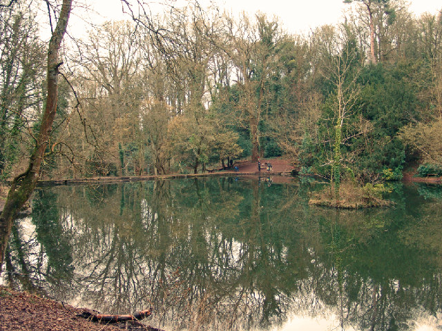
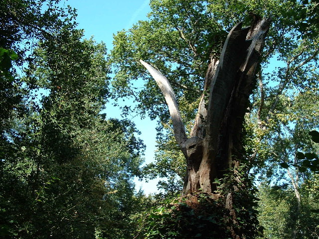
The woodland is predominantly made up of mixed deciduous trees, including oak, ash, beech, and sycamore. These trees provide a habitat for a wide range of flora and fauna, making it an important site for nature conservation. Visitors can expect to encounter various bird species, such as woodpeckers, nuthatches, and tawny owls, along with a diverse array of wildflowers and fungi.

In addition to its natural beauty, Leigh Woods also holds historical significance. The area was once part of the Leigh Court Estate, owned by the Miles family, who used the woodland for timber production. The remnants of old charcoal platforms and sawpits can still be seen today, serving as a reminder of the area's past industrial activity.

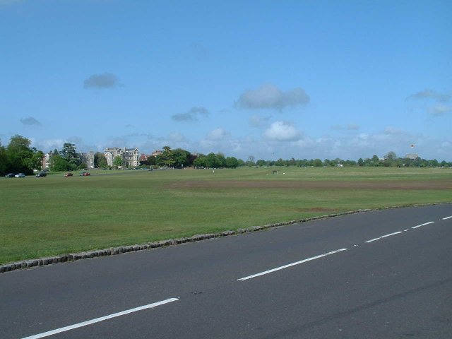
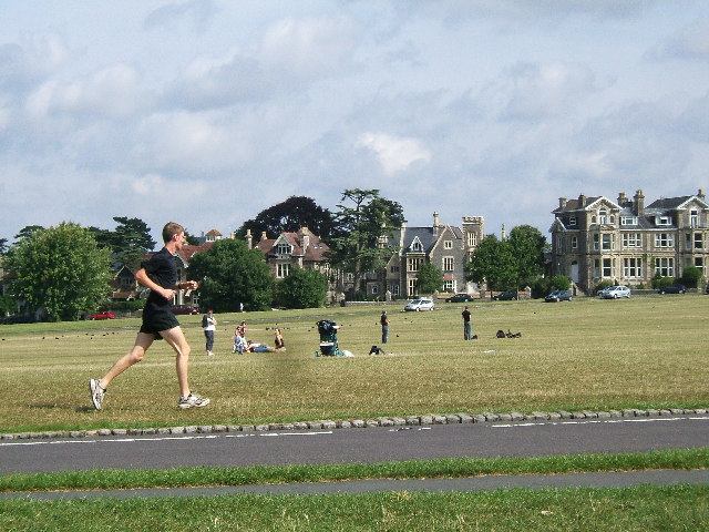
Leigh Woods is a popular destination for outdoor enthusiasts, offering a network of walking trails that meander through the woodland. The trails provide stunning views of the Avon Gorge and the Clifton Suspension Bridge, adding to the charm of the area. Whether it's a leisurely stroll, a challenging hike, or a peaceful picnic amidst nature, Leigh Woods offers something for everyone to enjoy.

If you have any feedback on the listing, please let us know in the comments section below.
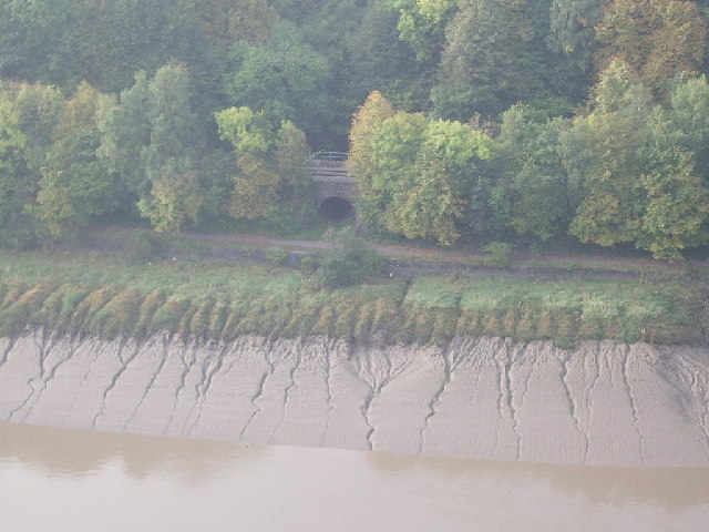
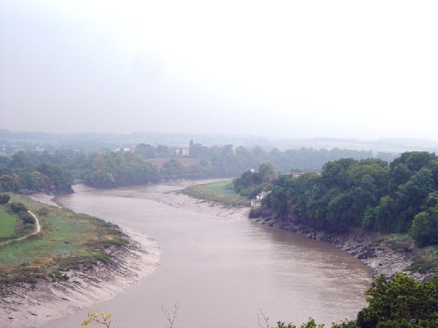
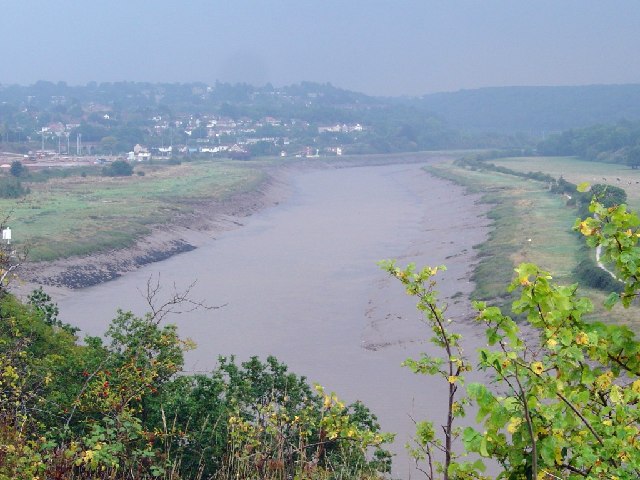
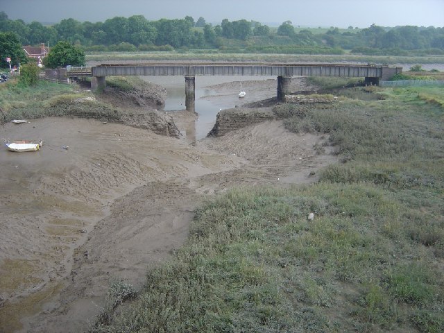
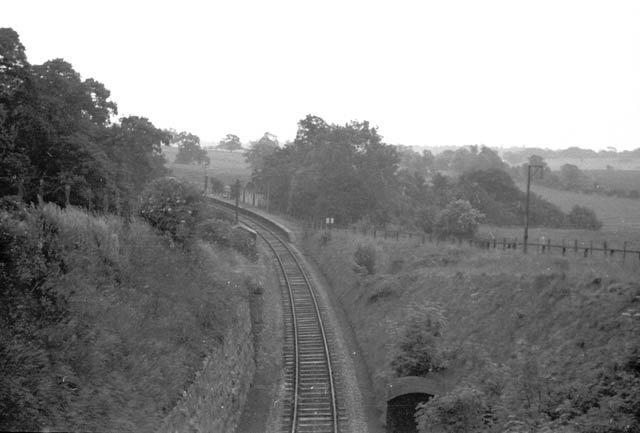
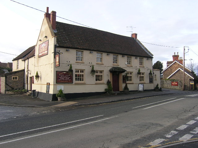
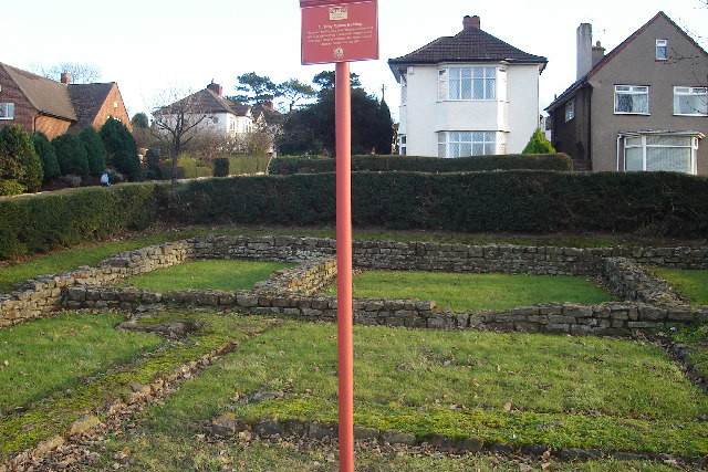
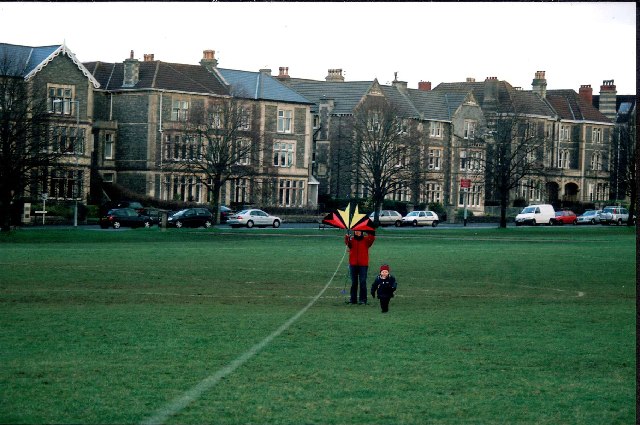
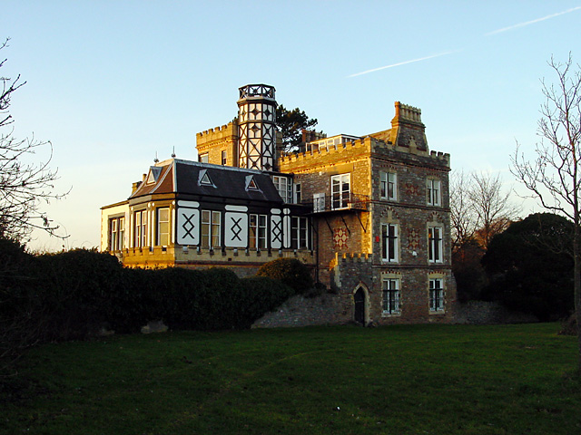
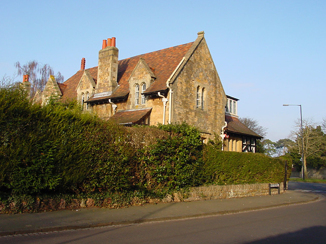
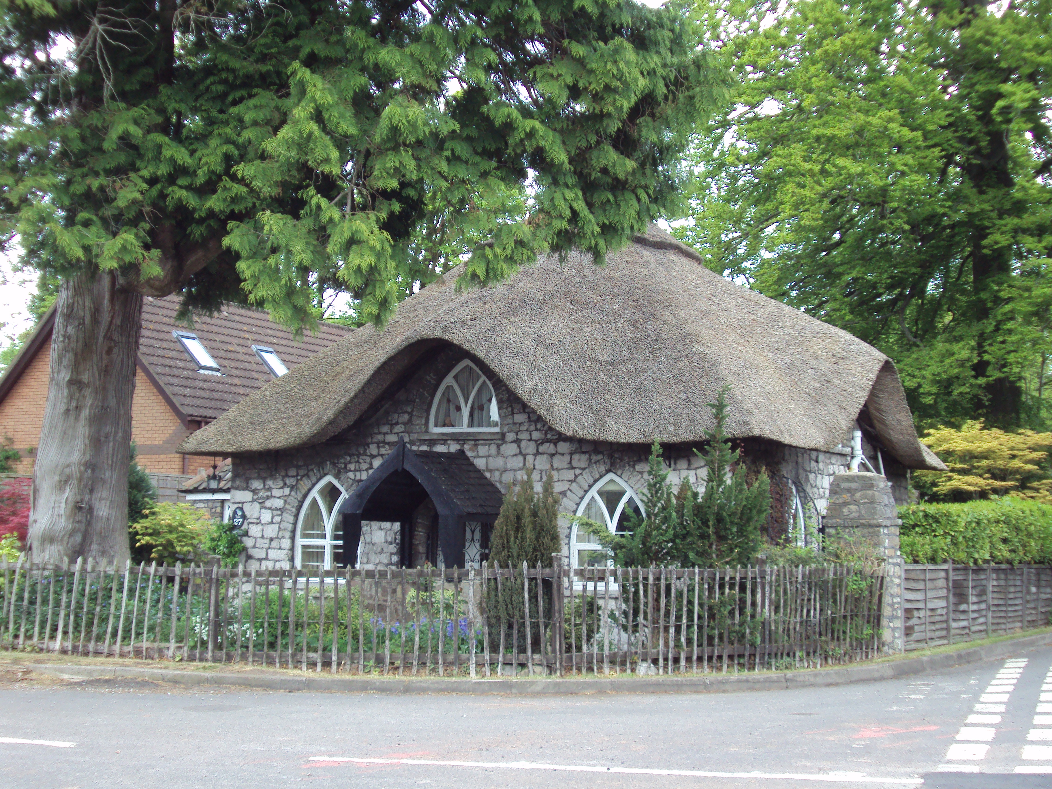
Leigh Woods Images

Images are sourced within 2km of 51.471283/-2.6523882 or Grid Reference ST5474. Thanks to Geograph Open Source API. All images are credited.

Clifton Downs - looking towards the water tower
Fish Pond This lake in Fish Pond Wood once provided fish for the divines of Bristol Cathedral.
Fish Pond
This lake in Fish Pond Wood once provided fish for the divines of Bristol Cathedral.
Woodland sculpture In situ sculpture - Making use of the trees in Leigh Woods
Woodland sculpture
In situ sculpture - Making use of the trees in Leigh Woods
The Downs, looking towards Sneyd Park Clifton and Durdham Downs, owned jointly by the Society of Merchant Venturers and Bristol Corporation, but dedicated to the use and enjoyment of the citizens of Bristol in perpetuity.
The Downs, looking towards Sneyd Park
Clifton and Durdham Downs, owned jointly by the Society of Merchant Venturers and Bristol Corporation, but dedicated to the use and enjoyment of the citizens of Bristol in perpetuity.
Western bank of the Avon, near Bristol Taken from Clifton Down, across the Avon Gorge, about 1.5km North of Clifton Suspension Bridge. Leigh woods, the Avon Cycle Way and a single track railway in view. The bridge goes over an entrance to an old quarry, now used as a rifle range.
Western bank of the Avon, near Bristol
Taken from Clifton Down, across the Avon Gorge, about 1.5km North of Clifton Suspension Bridge. Leigh woods, the Avon Cycle Way and a single track railway in view. The bridge goes over an entrance to an old quarry, now used as a rifle range.
River Avon West of Shirehampton Park
River Avon East of Shirehampton Park
Sea Mills Remains of old harbour
Sea Mills
Remains of old harbour
Ham Green Halt This halt was mainly built to serve the nearby hospital. The line is still open to serve Portbury Docks
Ham Green Halt
This halt was mainly built to serve the nearby hospital. The line is still open to serve Portbury Docks
Abbot's Leigh - The George
Abbot's Leigh Church
Remains of Roman Dwelling at Portus Abonae (Sea Mills) Portus Abonae was an ancient Roman Settlement at Sea Mills, where the Roman army would await embarkation for Caerleon, Wales.  The photo is apparently of remains of dwellings which formed part of a military fort in Claudian times.  It is taken between Roman Way and the Portway, facing due South.  Most commuters speeding down the Portway would never know it was there!
Remains of Roman Dwelling at Portus Abonae (Sea Mills)
Portus Abonae was an ancient Roman Settlement at Sea Mills, where the Roman army would await embarkation for Caerleon, Wales. The photo is apparently of remains of dwellings which formed part of a military fort in Claudian times. It is taken between Roman Way and the Portway, facing due South. Most commuters speeding down the Portway would never know it was there!
Houses overlooking the Bristol Downs - Looking North
Tower Hirst by Durdham Downs This lovely house is on the edge of the Downs and overlooks the Avon Gorge. It was built about 1860.
Tower Hirst by Durdham Downs
This lovely house is on the edge of the Downs and overlooks the Avon Gorge. It was built about 1860.
View from the Viewing Point Where Durdham Downs meets the Avon Gorge is known as the Viewing Point and gives good views up the River Avon towards the Suspension Bridge (and in the opposite direction you can see the River Severn and Wales).
View from the Viewing Point
Where Durdham Downs meets the Avon Gorge is known as the Viewing Point and gives good views up the River Avon towards the Suspension Bridge (and in the opposite direction you can see the River Severn and Wales).
Sunset on Durdham Downs This photograph was obviously taken at the same moment as <a href="https://www.geograph.org.uk/photo/111102">ST5452 : X marks the spot ...</a> which about 22 km south of this spot at GR ST5452.
Sunset on Durdham Downs
This photograph was obviously taken at the same moment as ST5452 : X marks the spot ... which about 22 km south of this spot at GR ST5452.
Druid Stoke Avenue, Stoke Bishop House on the junction of Druid Stoke Avenue and Druid Hill. A Grade II listed building dating from 1860.
Druid Stoke Avenue, Stoke Bishop
House on the junction of Druid Stoke Avenue and Druid Hill. A Grade II listed building dating from 1860.
The Holmes, Churchill Hall Wedding reception on the terrace at The Holmes, one of the Victorian houses that make up part of Churchill Hall, one of the halls of residence of Bristol University.
The Holmes, Churchill Hall
Wedding reception on the terrace at The Holmes, one of the Victorian houses that make up part of Churchill Hall, one of the halls of residence of Bristol University.
Show me another place!

Leigh Woods is located at Grid Ref: ST5474 (Lat: 51.471283, Lng: -2.6523882)

Unitary Authority: North Somerset

Police Authority: Avon and Somerset

What 3 Words

///shots.plus.beam. Near Easton-in-Gordano, Somerset

Related Wikis

Leigh Court

Leigh Court is a country house which is a Grade II* listed building in Abbots Leigh, Somerset, England. The grounds and park are listed, Grade II, on the...

Portway, Bristol

The Portway is a major road in the City of Bristol. It is part of the A4 and connects Bristol City Centre to the Avonmouth Docks and the M5 motorway via...

Sneyd Park

Sneyd Park is a suburb of Bristol, England, lying on the western fringe of Clifton Down, adjacent to the Avon Gorge and the Sea Walls observation point...

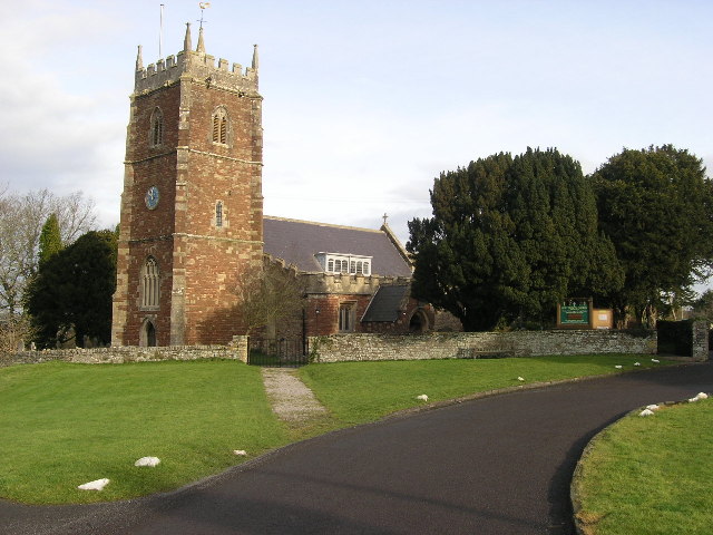
Holy Trinity Church, Abbots Leigh

Holy Trinity Church in Abbots Leigh within the English county of Somerset is a 15th-century Perpendicular Gothic building, restored and partially rebuilt...

Nearby Amenities

Located within 500m of 51.471283,-2.6523882
Man Made: tower
Operator: Orange
Tower Type: communication
Lat/Long: 51.4694102/-2.6501426
Grotto
Tourism: viewpoint
Lat/Long: 51.4748164/-2.6520831
Seamark Information: e column.
Seamark Light Character: Q
Seamark Light Colour: green
Seamark Light Group: 2
Seamark Light Height: 5
Seamark Light Period: 4
Seamark Light Range: 1
Seamark Light Reference: A 5521
Seamark Name: Leigh Woods Lower
Seamark Type: light_minor
Source: US NGA Pub. 114. 2011-05-26.
Lat/Long: 51.4716071/-2.6474928
Seamark Light Character: Q
Seamark Light Colour: green
Seamark Light Group: 3
Seamark Light Height: 5
Seamark Light Period: 6
Seamark Light Range: 1
Seamark Light Reference: A 5519
Seamark Name: Miles Dock Lower
Seamark Type: light_minor
Source: US NGA Pub. 114. 2011-05-26.
Lat/Long: 51.4751721/-2.6515892
Seamark Light Character: Fl
Seamark Light Colour: green
Seamark Light Height: 7
Seamark Light Period: 2
Seamark Light Range: 1
Seamark Light Reference: A 5520
Seamark Name: Miles Dock Upper
Seamark Type: light_minor
Source: US NGA Pub. 114. 2011-05-26.
Lat/Long: 51.47375/-2.6507333
Board Type: history
Check Date: 2023-02-19
Information: board
Tourism: information
Lat/Long: 51.4738979/-2.6513834
Barrier: stile
Material: stone
Step Count: 4
Stile: stepover
Lat/Long: 51.4732273/-2.6501736
The Bristol Whales
Artist Name: Sue Lipscombe
Artwork Type: sculpture
Material: wood
Tourism: artwork
Lat/Long: 51.4726486/-2.64569
Ford: yes
Lat/Long: 51.4701756/-2.6547357
The data included in this document is from www.openstreetmap.org. The data is made available under ODbL.

Have you been to Leigh Woods?

Leave your review of Leigh Woods below (or comments, questions and feedback).