Paradise Bottom
Valley in Somerset
England
Paradise Bottom
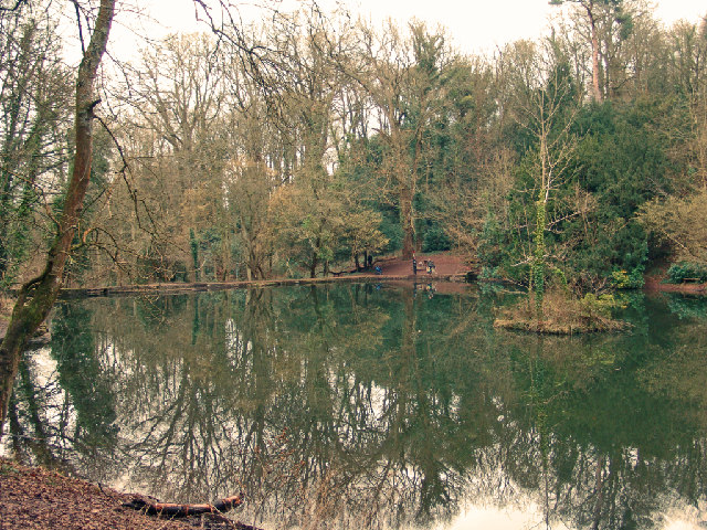
Paradise Bottom, Somerset, also known as Paradise Valley, is a picturesque area located in the county of Somerset, England. It is nestled within the Mendip Hills, a designated Area of Outstanding Natural Beauty. The valley is named after the Paradise River, which meanders through the area, adding to its scenic charm.
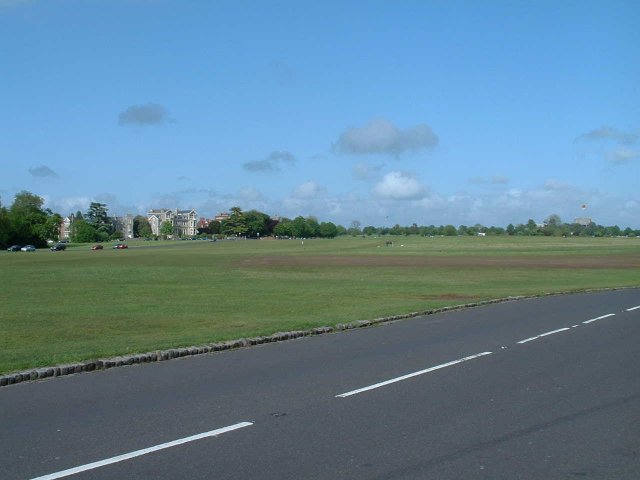
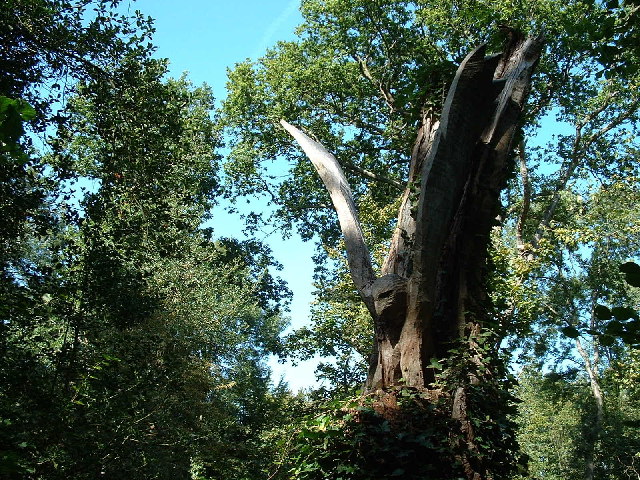
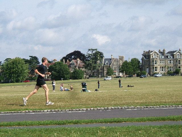
Paradise Bottom is characterized by its lush green meadows, rolling hills, and dense woodlands, offering a haven for nature lovers and outdoor enthusiasts. The valley is home to a diverse range of flora and fauna, including rare orchids, wildflowers, and various bird species.
The area is popular for its walking trails and hiking routes, providing visitors with the opportunity to explore its natural beauty. The valley is crisscrossed with footpaths, allowing visitors to experience its tranquil atmosphere and breathtaking vistas. The trails offer a chance to spot wildlife, such as deer and foxes, and to enjoy the peacefulness of the countryside.
Paradise Bottom is also known for its historical significance. The remnants of ancient settlements and burial mounds can be found within the valley, providing insights into the area's past. Archaeological discoveries have revealed evidence of human habitation stretching back thousands of years.
Overall, Paradise Bottom, Somerset is a stunning location that offers a blend of natural beauty, wildlife, and historical interest. It provides a serene escape from the hustle and bustle of everyday life, making it a must-visit destination for nature enthusiasts and those seeking tranquility amidst picturesque surroundings.
If you have any feedback on the listing, please let us know in the comments section below.
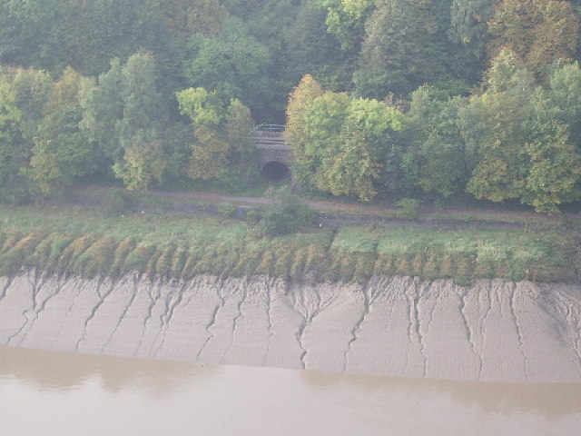
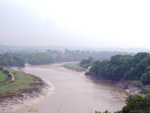
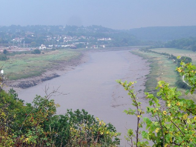
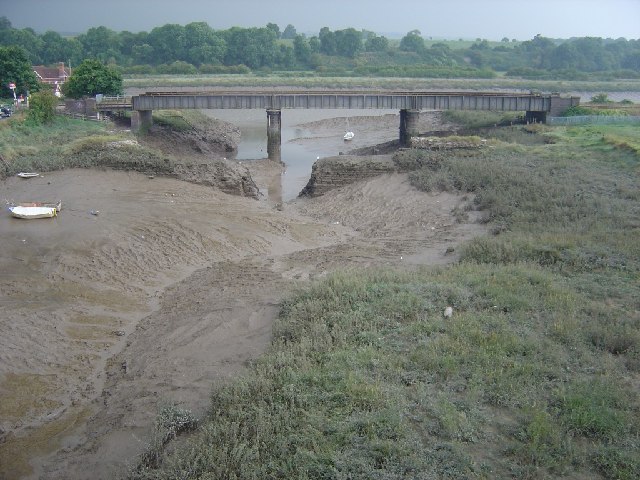
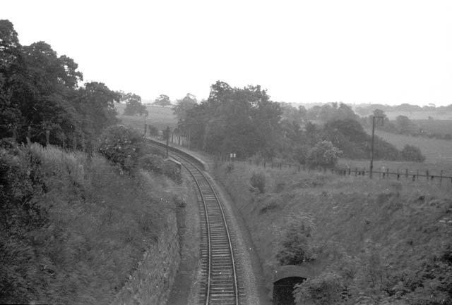
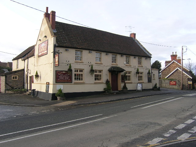
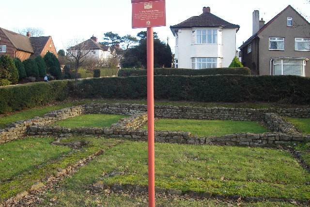
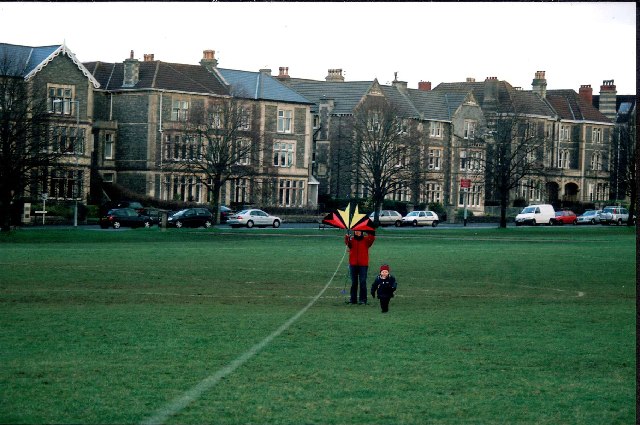
Paradise Bottom Images
Images are sourced within 2km of 51.471103/-2.6539981 or Grid Reference ST5474. Thanks to Geograph Open Source API. All images are credited.


Paradise Bottom is located at Grid Ref: ST5474 (Lat: 51.471103, Lng: -2.6539981)
Unitary Authority: North Somerset
Police Authority: Avon and Somerset
What 3 Words
///stroke.puzzle.water. Near Easton-in-Gordano, Somerset
Nearby Locations
Related Wikis

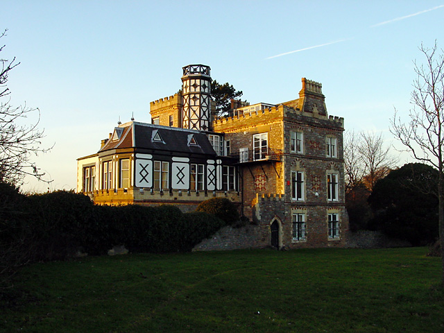
Leigh Court
Leigh Court is a country house which is a Grade II* listed building in Abbots Leigh, Somerset, England. The grounds and park are listed, Grade II, on the...

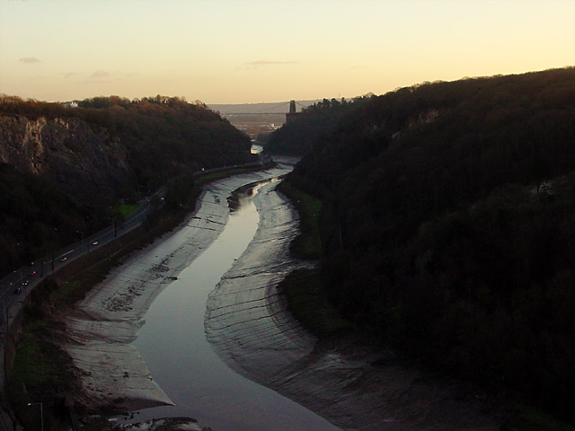
Portway, Bristol
The Portway is a major road in the City of Bristol. It is part of the A4 and connects Bristol City Centre to the Avonmouth Docks and the M5 motorway via...
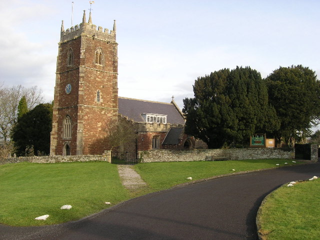
Holy Trinity Church, Abbots Leigh
Holy Trinity Church in Abbots Leigh within the English county of Somerset is a 15th-century Perpendicular Gothic building, restored and partially rebuilt...
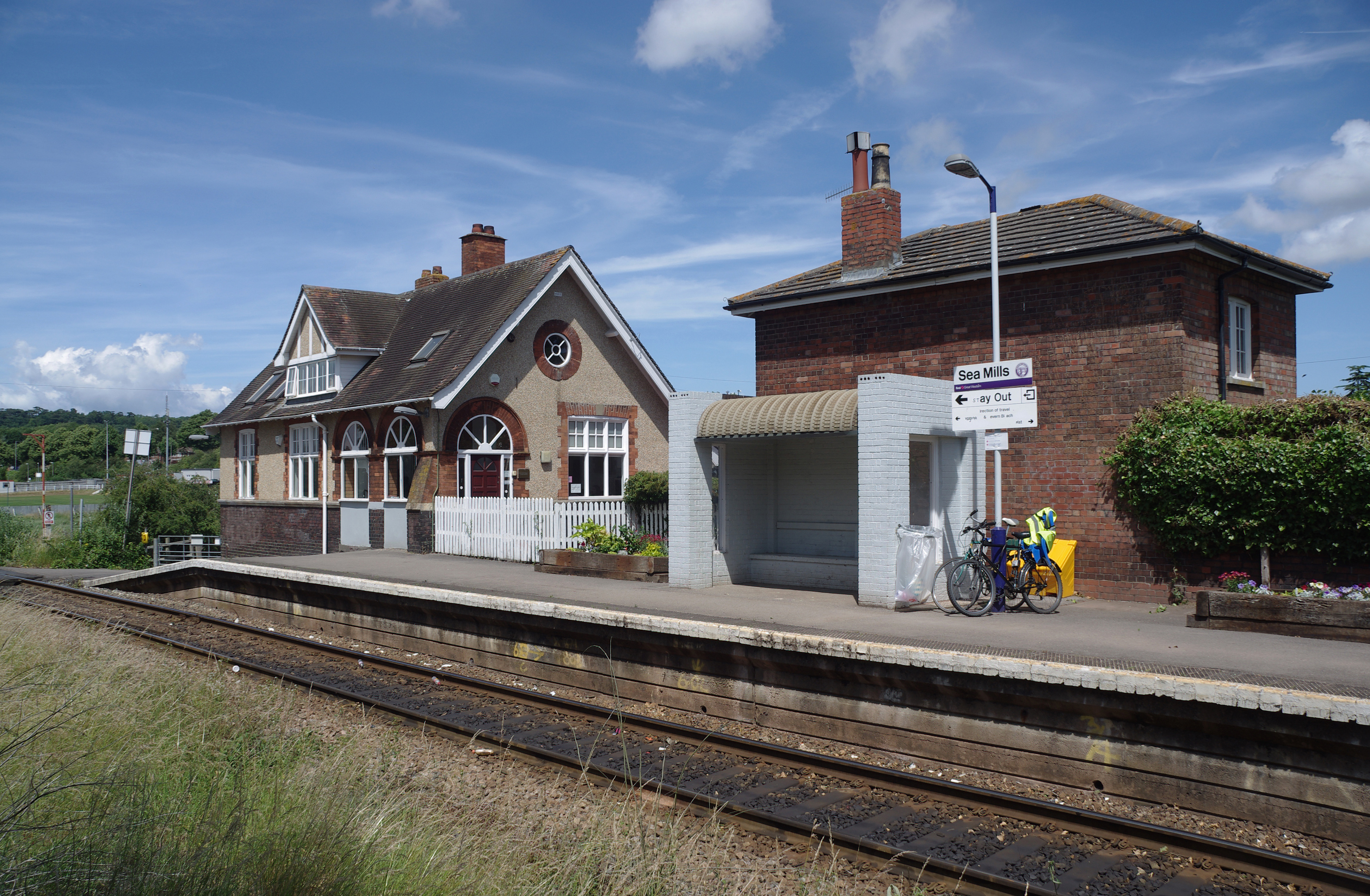
Sea Mills railway station
Sea Mills railway station is on the Severn Beach Line and serves the district of Sea Mills and nearby Westbury on Trym in Bristol, England. It is 6 miles...
Nearby Amenities
Located within 500m of 51.471103,-2.6539981Have you been to Paradise Bottom?
Leave your review of Paradise Bottom below (or comments, questions and feedback).