Earns Cleugh

Valley in Berwickshire

Scotland

Earns Cleugh

Dabshead Hill View of Dabshead Hill taken from Burncastle Road.
Dabshead Hill Credit: Scott Batchelor

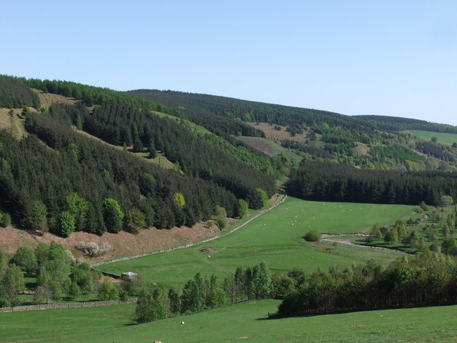
Earns Cleugh is a picturesque valley located in Berwickshire, Scotland. Nestled amidst rolling hills and lush greenery, the valley offers breathtaking views and a serene atmosphere. It is situated near the village of Longformacus, approximately 30 miles southeast of Edinburgh.

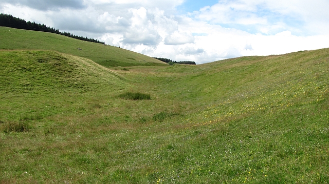
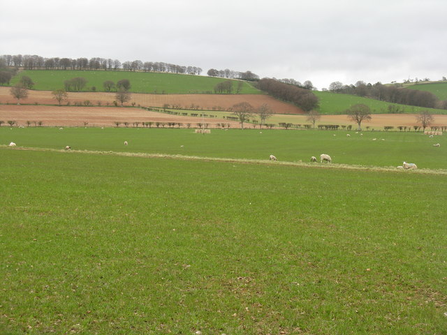
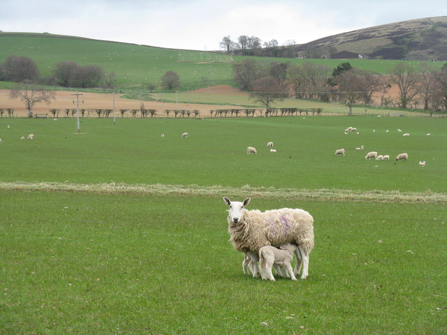
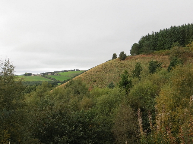
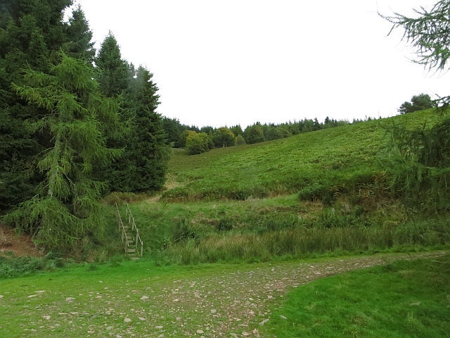
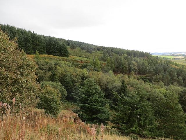
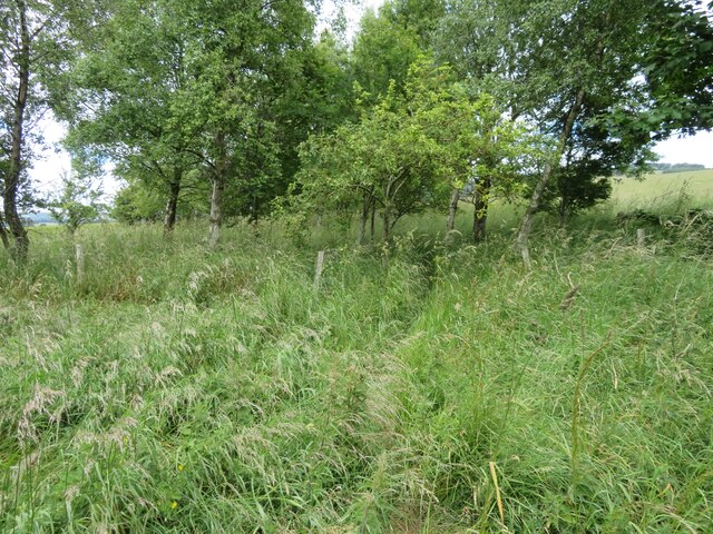
The valley is characterized by its stunning natural beauty, with a meandering river, dense woodlands, and open fields. The Earnscleugh Burn, a small stream, flows through the valley, adding to its charm. The area is home to a variety of wildlife, including birds, deer, and other small mammals, making it a popular spot for nature enthusiasts and photographers.

Earns Cleugh is also rich in historical significance. The valley is dotted with remnants of ancient settlements, standing stones, and burial mounds, providing a glimpse into the region's past. The nearby White Castle, a well-preserved hillfort dating back to the Iron Age, further adds to the historical allure of the area.

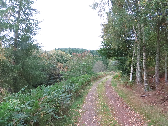
Visitors to Earns Cleugh can enjoy a range of outdoor activities. The valley offers excellent opportunities for hiking, with several trails winding through the surrounding hills and woodlands. Fishing is popular in the Earnscleugh Burn, attracting anglers from far and wide. The valley's idyllic setting also makes it a great spot for picnicking and simply soaking in the tranquility of the surroundings.

Overall, Earns Cleugh is a hidden gem in Berwickshire, offering natural beauty, historical significance, and a peaceful retreat from the hustle and bustle of everyday life.

If you have any feedback on the listing, please let us know in the comments section below.
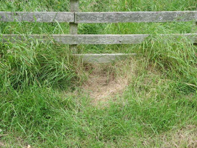
Earns Cleugh Images

Images are sourced within 2km of 55.755193/-2.72413 or Grid Reference NT5451. Thanks to Geograph Open Source API. All images are credited.

Dabshead Hill View of Dabshead Hill taken from Burncastle Road.
Dabshead Hill
View of Dabshead Hill taken from Burncastle Road.
Edgarhope Wood South slope of Edgarhope Wood taken from Burncastle Road
Edgarhope Wood
South slope of Edgarhope Wood taken from Burncastle Road
Reentrant, Snawdon Burn A change from the usual uncomplecated, smooth contours found in the Lammermuir Hills. The hollow was probably a former watercourse.  The grassland is rich in wildflowers.
Reentrant, Snawdon Burn
A change from the usual uncomplecated, smooth contours found in the Lammermuir Hills. The hollow was probably a former watercourse. The grassland is rich in wildflowers.
The gathering ground of the Snawdon Burn Head of the Snawdon Burn, an area of meadows. The edge of Edgarhope Wood can be seen in the background.
--
2013
Most of the woodland has now been felled and replanted.
The gathering ground of the Snawdon Burn
Head of the Snawdon Burn, an area of meadows. The edge of Edgarhope Wood can be seen in the background. -- 2013 Most of the woodland has now been felled and replanted.
Spring at Lylestane Green grass, new lambs, newly sown cereal fields and shelter belts. A view from the A697.
Spring at Lylestane
Green grass, new lambs, newly sown cereal fields and shelter belts. A view from the A697.
Ewe and lambs at Lylestane Pasture grading upwards to moorland beyond Burncastle.
Ewe and lambs at Lylestane
Pasture grading upwards to moorland beyond Burncastle.
Edgarhope Wood A few years earlier some big blocks of woodland were felled and not replaced. There are a lot of pheasants here - for now.
Edgarhope Wood
A few years earlier some big blocks of woodland were felled and not replaced. There are a lot of pheasants here - for now.
Edgarhope Moor High level grazing in the Lammermuirs.
Edgarhope Moor
High level grazing in the Lammermuirs.
Edgarhope Wood The road in from the A68.
Edgarhope Wood
The road in from the A68.
Reentrant,  Edgarhope Wood Uphill view from a road junction. There are now a lot of big bracken filled clearings within the wood.
Reentrant, Edgarhope Wood
Uphill view from a road junction. There are now a lot of big bracken filled clearings within the wood.
Edge of Edgarhope Wood There is a gate at the corner of the dyke and woodland fence.
Edge of Edgarhope Wood
There is a gate at the corner of the dyke and woodland fence.
Flight pond, Snawdon Burn The water is now all but hidden behind the fast growing trees which surround the pond.
Flight pond, Snawdon Burn
The water is now all but hidden behind the fast growing trees which surround the pond.
Edgarhope Wood A view along the spurs of Edgarhope Wood. There are now numerous clearings in the wood.
Edgarhope Wood
A view along the spurs of Edgarhope Wood. There are now numerous clearings in the wood.
Edgarhope Wood A block of Sitka spruce.
Edgarhope Wood
A block of Sitka spruce.
Edge of Edgarhope Wood View along the ridge to Dabshead Hill.
Edge of Edgarhope Wood
View along the ridge to Dabshead Hill.
Clear felled area, Edgarhope Wood Recently replanted.
Clear felled area, Edgarhope Wood
Recently replanted.
Who goes there? Obviously a regularly used route, but not sure by what - possibly hare, fox or badger? I think deer, even roe, would be too large, and mice, voles, shrews, weasel and rabbit would be too small. The track can be seen continuing into the shelterbelt <a href="https://www.geograph.org.uk/photo/7220417">NT5350 : Shelterbelt on the road to Burncastle</a>, and the remains of a trap were nearby <a href="https://www.geograph.org.uk/photo/7213555">NT5259 : Tully trap on Crib Law</a>.
Who goes there?
Obviously a regularly used route, but not sure by what - possibly hare, fox or badger? I think deer, even roe, would be too large, and mice, voles, shrews, weasel and rabbit would be too small. The track can be seen continuing into the shelterbelt NT5350 : Shelterbelt on the road to Burncastle, and the remains of a trap were nearby NT5259 : Tully trap on Crib Law.
Shelterbelt on the road to Burncastle With the continuing track of a small mammal visible in the long grass - see <a href="https://www.geograph.org.uk/photo/7220415">NT5350 : Who goes there?</a>.
Shelterbelt on the road to Burncastle
With the continuing track of a small mammal visible in the long grass - see NT5350 : Who goes there?.
Show me another place!

Earns Cleugh is located at Grid Ref: NT5451 (Lat: 55.755193, Lng: -2.72413)

Unitary Authority: The Scottish Borders

Police Authority: The Lothians and Scottish Borders

What 3 Words

///flamingo.drives.bookings. Near Lauder, Scottish Borders

Related Wikis

Addinston

Addinston is a farming village, off the A697, close to the Carfraemill roundabout, with two hill forts and settlements, in Lauderdale in the Scottish...

Lauderdale

Lauderdale is the valley of the Leader Water (a tributary of the Tweed) in the Scottish Borders. It contains the town of Lauder, as well as Earlston. The...

Thirlestane Castle

Thirlestane Castle is a castle set in extensive parklands near Lauder in the Borders of Scotland. The site is aptly named Castle Hill, as it stands upon...

Lauder railway station

Lauder railway station served the town of Lauder, Berwickshire, Scotland, from 1901 to 1958. It was situated on the Lauder Light Railway. == History... ==

Nearby Amenities

Located within 500m of 55.755193,-2.72413
Dabshead Hill
Ele: 383
Ele Ft: 1256
Natural: peak
Lat/Long: 55.7524002/-2.7230613
Burncastle Lodge
Place: isolated_dwelling
Lat/Long: 55.7578772/-2.7275883
Barrier: cattle_grid
Lat/Long: 55.7567531/-2.7272037
Power: pole
Lat/Long: 55.7548019/-2.7311941
Power: pole
Lat/Long: 55.7550483/-2.7304892
Power: pole
Lat/Long: 55.7553934/-2.7295195
Power: pole
Lat/Long: 55.7558675/-2.7286592
Power: pole
Lat/Long: 55.7563558/-2.7278194
Power: pole
Lat/Long: 55.7568027/-2.7272365
Power: pole
Lat/Long: 55.7571736/-2.7267759
The data included in this document is from www.openstreetmap.org. The data is made available under ODbL.

Have you been to Earns Cleugh?

Leave your review of Earns Cleugh below (or comments, questions and feedback).