Danehill Wood

Wood, Forest in Gloucestershire Forest of Dean

England

Danehill Wood

Part of the Wye Valley Walk in Wyndcliff wood If there is one criticism of the WVW in this section it is that you don't get to see much of the River Wye, but, you do get to see varied woodlands, and an  appreciation of the valley's history, geology, ecology and industrial heritage.
Part of the Wye Valley Walk in Wyndcliff wood Credit: Jeremy Bolwell

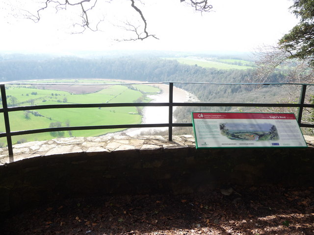
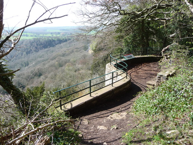
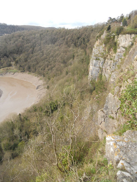
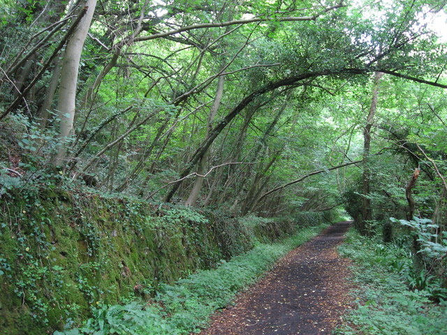
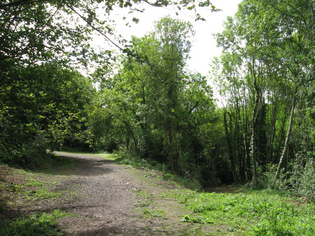
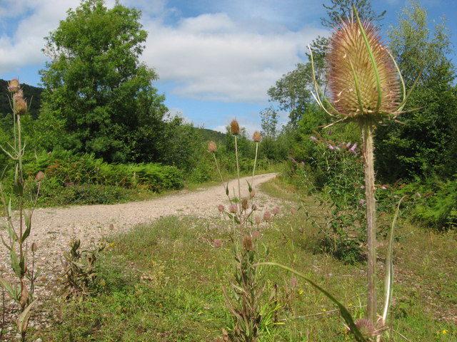
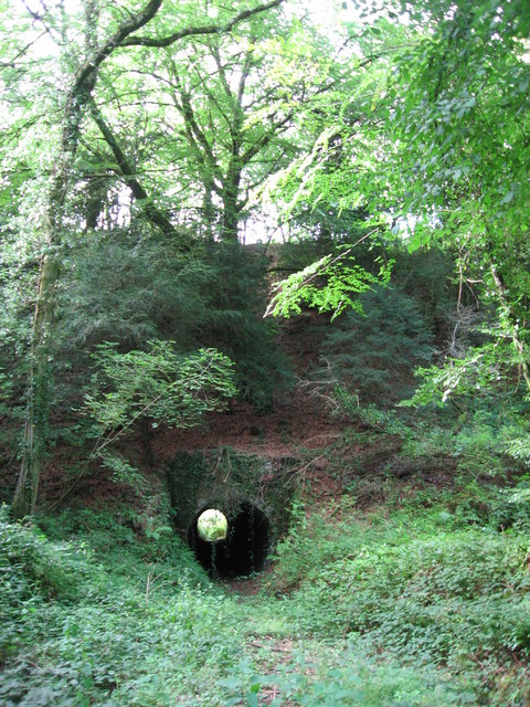
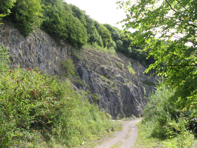
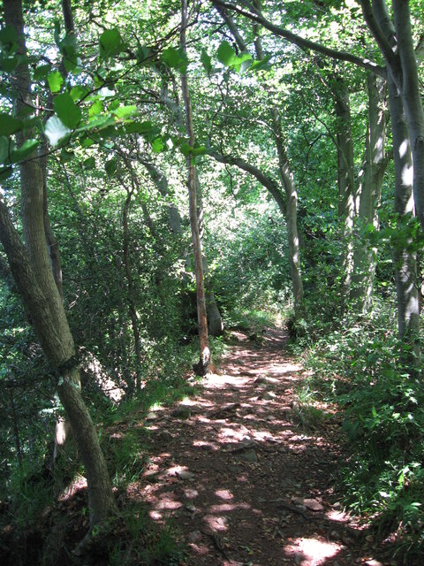
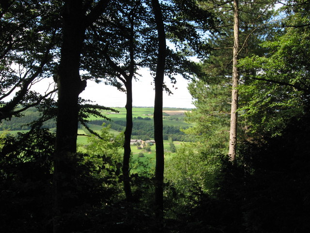
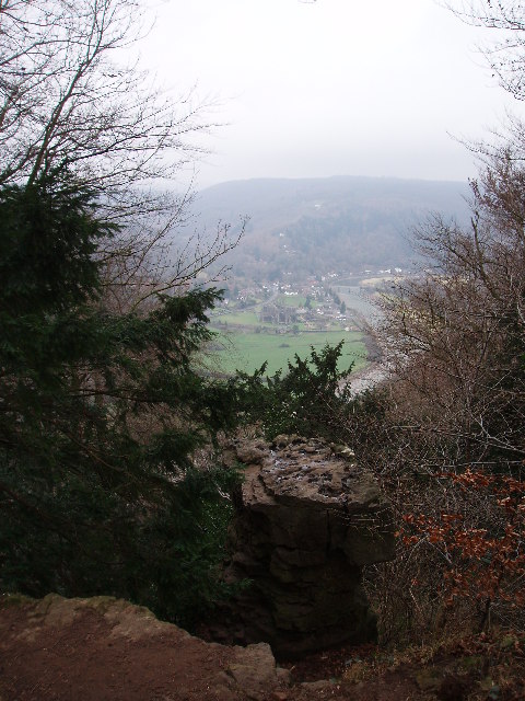
Danehill Wood is a picturesque forest located in the county of Gloucestershire, England. The wood covers an area of approximately 100 hectares and is situated near the village of Danehill. It is part of the larger Forest of Dean, a renowned ancient woodland that has been in existence for thousands of years.

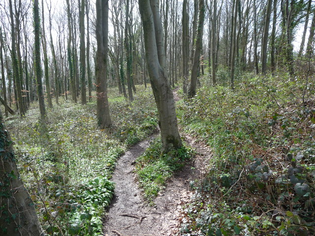
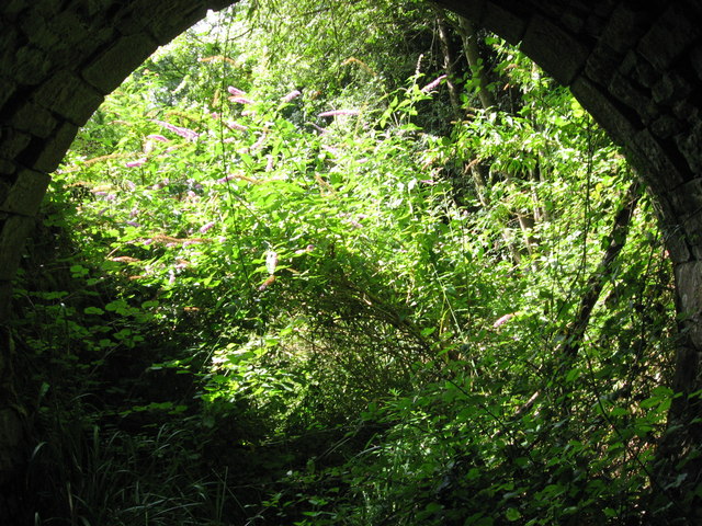
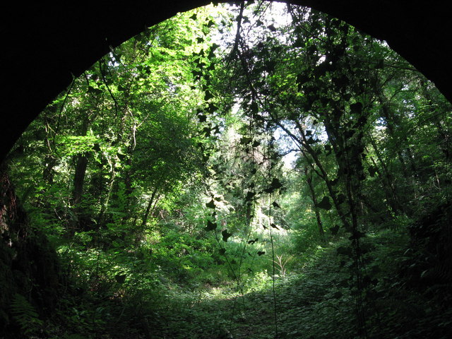
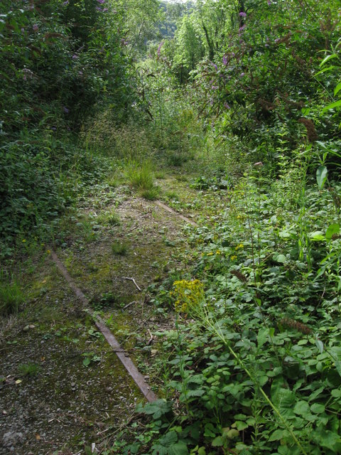
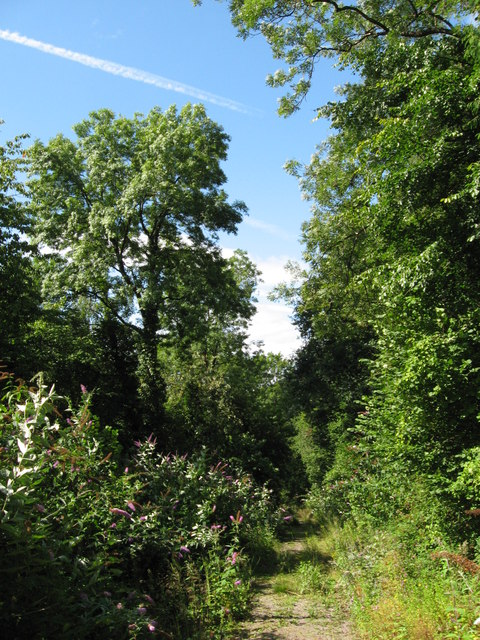
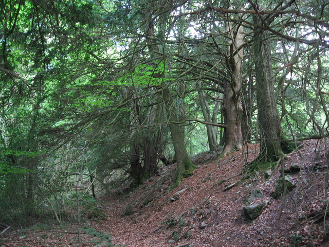
Danehill Wood is primarily composed of oak trees, interspersed with other deciduous species such as beech, ash, and birch. The forest floor is covered with a rich carpet of mosses, ferns, and wildflowers, creating a serene and enchanting atmosphere.

The wood is home to a diverse range of wildlife, including numerous bird species such as woodpeckers, owls, and buzzards. It is also a haven for mammals like deer, foxes, badgers, and squirrels. Visitors may be lucky enough to spot these animals while exploring the forest's many trails.

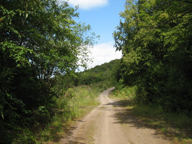
The wood offers a variety of recreational activities for nature enthusiasts and outdoor lovers. There are several well-maintained footpaths and cycling trails that wind through the forest, providing excellent opportunities for walking, hiking, and biking. Additionally, there are designated picnic areas where visitors can relax and enjoy the tranquil surroundings.

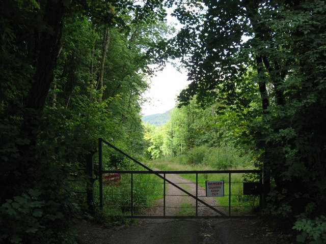
Danehill Wood is managed by the Forestry Commission, ensuring the preservation and conservation of its natural beauty. The forest is open to the public throughout the year, with no entrance fees, making it a popular destination for both locals and tourists seeking a peaceful retreat in the heart of Gloucestershire's countryside.

If you have any feedback on the listing, please let us know in the comments section below.

Danehill Wood Images

Images are sourced within 2km of 51.677837/-2.6553532 or Grid Reference ST5497. Thanks to Geograph Open Source API. All images are credited.

Part of the Wye Valley Walk in Wyndcliff wood If there is one criticism of the WVW in this section it is that you don't get to see much of the River Wye, but, you do get to see varied woodlands, and an  appreciation of the valley's history, geology, ecology and industrial heritage.
Part of the Wye Valley Walk in Wyndcliff wood
If there is one criticism of the WVW in this section it is that you don't get to see much of the River Wye, but, you do get to see varied woodlands, and an appreciation of the valley's history, geology, ecology and industrial heritage.
The Eagle's Nest viewpoint on the Wynd Cliff The information board fitted by the Forestry Commission tells of how this viewpoint got its name and what can be viewed. A beautiful spot that I never tire of revisiting.
The Eagle's Nest viewpoint on the Wynd Cliff
The information board fitted by the Forestry Commission tells of how this viewpoint got its name and what can be viewed. A beautiful spot that I never tire of revisiting.
The Eagle's Nest An excellent spot for a rest, a brew and some lunch.
The Eagle's Nest
An excellent spot for a rest, a brew and some lunch.
Cliff by the River Wye
Path along course of Wye Valley Railway near Tintern
Path along course of Wye Valley Railway near Tintern The railway line carried on straight ahead at this point, through the trees. Walkers now have a choice and can drop down right, or go up to the left.
Path along course of Wye Valley Railway near Tintern
The railway line carried on straight ahead at this point, through the trees. Walkers now have a choice and can drop down right, or go up to the left.
Path junction in woods near River Wye
Tunnel beneath disused railway line near Tintern Quarry
(No) light at the end of the tunnel The path at the western end of the tunnel (<a href="https://www.geograph.org.uk/photo/2544718">ST5498 : Tunnel beneath disused railway line near Tintern Quarry</a>) is very overgrown and currently impassable.
(No) light at the end of the tunnel
The path at the western end of the tunnel (ST5498 : Tunnel beneath disused railway line near Tintern Quarry) is very overgrown and currently impassable.
Path from tunnel under railway near Tintern Quarry The view from the eastern portal of <a href="https://www.geograph.org.uk/photo/2544718">ST5498 : Tunnel beneath disused railway line near Tintern Quarry</a> shows an overgrown, but still passable path.
Path from tunnel under railway near Tintern Quarry
The view from the eastern portal of ST5498 : Tunnel beneath disused railway line near Tintern Quarry shows an overgrown, but still passable path.
Path near Tintern Quarry
Disused railway near Tintern Quarry The rails are still in place, though obviously have not seen a train for many years!
Disused railway near Tintern Quarry
The rails are still in place, though obviously have not seen a train for many years!
Part of Tintern Quarry
Footpath near Tintern Quarry
Gateway to Tintern Quarry
Beside Offa's Dyke
Beside Offa's Dyke
On Offa's Dyke
On Offa's Dyke
View west from Offa's Dyke Reddings Farm can be seen between the trees.
View west from Offa's Dyke
Reddings Farm can be seen between the trees.
Show me another place!

Danehill Wood is located at Grid Ref: ST5497 (Lat: 51.677837, Lng: -2.6553532)

Administrative County: Gloucestershire

District: Forest of Dean

Police Authority: Gloucestershire

What 3 Words

///obscuring.patrol.speared. Near Tintern, Monmouthshire

Related Wikis

Tintern Quarry

Tintern Quarry was a quarry in the Forest of Dean, Gloucestershire, England. It was served by the Wye Valley Railway from 1876 until it closed in 1981...

Boughspring

Boughspring is a hamlet in Gloucestershire, England. == History == Settlement at Boughspring dates back to Roman times when a villa was built nearby. Boughspring...

Caerwood and Ashberry Goose House

Caerwood And Ashberry Goose House (ST54719655 ST54649657) is a 0.01-hectare (0.025-acre) biological Site of Special Scientific Interest in Gloucestershire...

Miss Grace's Lane

Miss Grace's Lane (also known as Miss Grace's Lane Swallett), near Tidenham in the Forest of Dean, Gloucestershire, England, is a natural cave system,...

Lower Wye Gorge SSSI

Lower Wye Gorge (grid reference ST548983, ST537967) is a 65-hectare (160-acre) biological and geological Site of Special Scientific Interest in Gloucestershire...

Netherhope Halt railway station

Netherhope Halt was a railway station on the former Wye Valley Railway. It was opened in 1932 and closed in 1959; it was demolished soon afterwards....

Devil's Pulpit, Gloucestershire

The Devil's Pulpit is a rocky limestone outcrop and scenic viewpoint in the Forest of Dean District of Gloucestershire, England, within the Wye Valley...

Ridley Bottom, Tidenham

Ridley Bottom (grid reference ST563985) is a 1.1-hectare (2.7-acre) nature reserve in Gloucestershire. The site is listed in the 'Forest of Dean Local...

Nearby Amenities

Located within 500m of 51.677837,-2.6553532
Source: PGS
Lat/Long: 51.6780014/-2.6625395
Source: PGS
Lat/Long: 51.6761504/-2.6591929
Source: PGS
Lat/Long: 51.6765799/-2.6602459
Source: PGS
Lat/Long: 51.6769009/-2.6611506
Source: PGS
Lat/Long: 51.6771863/-2.6620733
Source: PGS
Lat/Long: 51.6776254/-2.6609007
Source: PGS
Lat/Long: 51.6773393/-2.6598801
Source: PGS
Lat/Long: 51.6770474/-2.6590593
Source: PGS
Lat/Long: 51.6767871/-2.6583987
Source: PGS
Lat/Long: 51.6765267/-2.657873
Source: PGS
Lat/Long: 51.6761639/-2.6572368
Source: PGS
Lat/Long: 51.6738584/-2.657469
Source: PGS
Lat/Long: 51.6746889/-2.6575085
Source: PGS
Lat/Long: 51.6754028/-2.6580433
Source: PGS
Lat/Long: 51.6756059/-2.6566566
Source: PGS
Lat/Long: 51.674996/-2.6562993
Source: PGS
Lat/Long: 51.674208/-2.6561076
Source: PGS
Lat/Long: 51.673755/-2.656203
Barrier: kissing_gate
Lat/Long: 51.6765721/-2.6497236
Tintern Quarry
Entertainment: Rock climbing
Lat/Long: 51.6792658/-2.6577354
Power: pole
Lat/Long: 51.6786036/-2.6488826
Power: pole
Transformer: distribution
Lat/Long: 51.6770619/-2.6500131
Power: pole
Lat/Long: 51.6766103/-2.6503645
Power: pole
Lat/Long: 51.6762993/-2.6503752
Power: pole
Lat/Long: 51.6757313/-2.6503994
Power: pole
Lat/Long: 51.67637/-2.6519068
Power: pole
Lat/Long: 51.6768182/-2.653091
Power: pole
Lat/Long: 51.676765/-2.6536985
Power: pole
Lat/Long: 51.6764839/-2.6558496
Location Transition: yes
Power: pole
Transformer: distribution
Lat/Long: 51.6769163/-2.6566891
Location Transition: yes
Power: pole
Lat/Long: 51.6759383/-2.6601157
Location Transition: yes
Power: pole
Lat/Long: 51.6767184/-2.6573932
The data included in this document is from www.openstreetmap.org. The data is made available under ODbL.

Have you been to Danehill Wood?

Leave your review of Danehill Wood below (or comments, questions and feedback).