Cockshoot

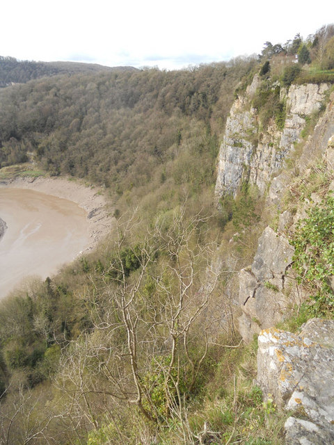
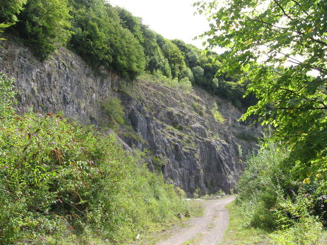
Cliff, Slope in Gloucestershire Forest of Dean

England

Cockshoot

Part of the Wye Valley Walk in Wyndcliff wood If there is one criticism of the WVW in this section it is that you don't get to see much of the River Wye, but, you do get to see varied woodlands, and an  appreciation of the valley's history, geology, ecology and industrial heritage.
Part of the Wye Valley Walk in Wyndcliff wood Credit: Jeremy Bolwell

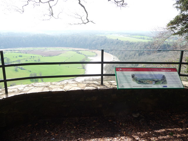
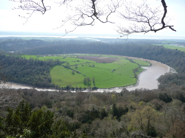
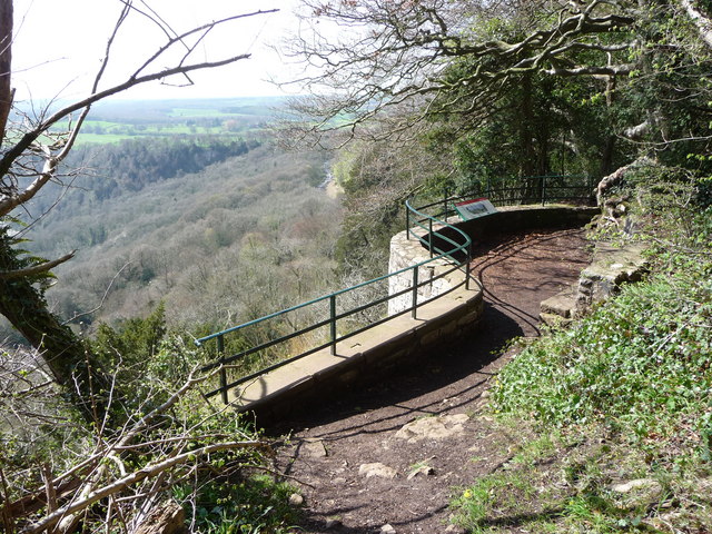
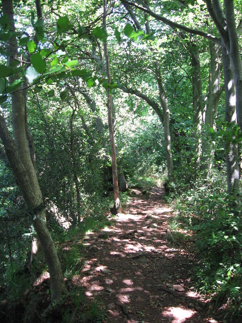
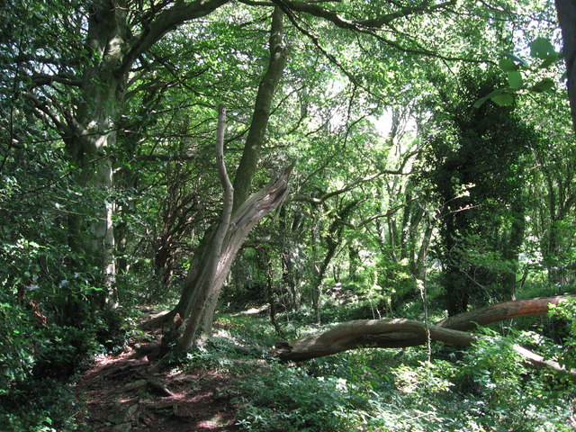
Cockshoot is a small village located in the county of Gloucestershire in England. It is situated on a cliff, offering breathtaking views of the surrounding countryside. The village is known for its picturesque landscape, characterized by rolling hills and lush greenery.

The name Cockshoot is derived from the Old English word "cocc," meaning a hill or mound, and "sceot," meaning a slope. This perfectly describes the village's location as it is nestled on a steep incline. The cliff on which the village is perched provides a unique setting and adds to its charm.

The village itself is small but boasts a close-knit community. There are a few residential properties, including traditional cottages and modern houses, with well-maintained gardens. The residents take pride in their village and often organize community events that bring everyone together.

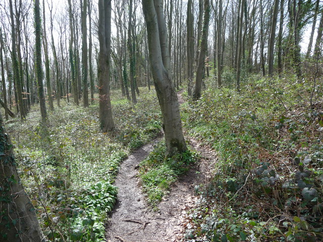
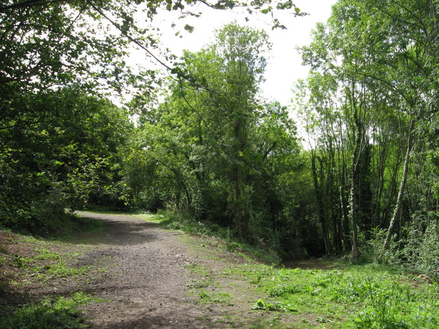
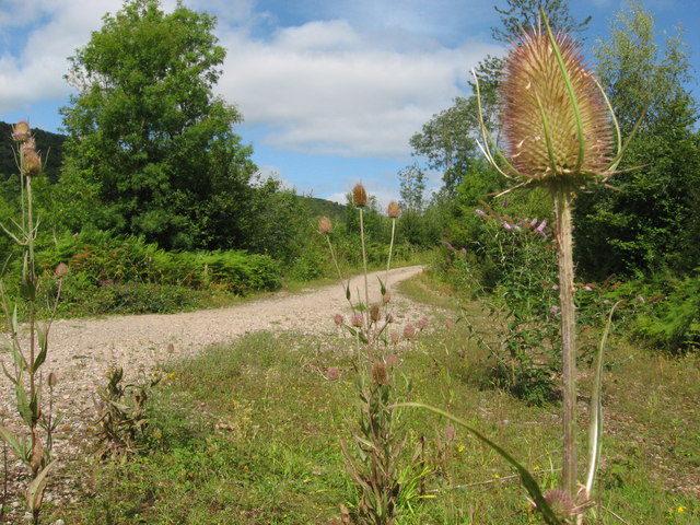
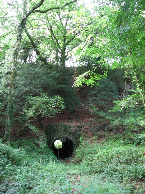
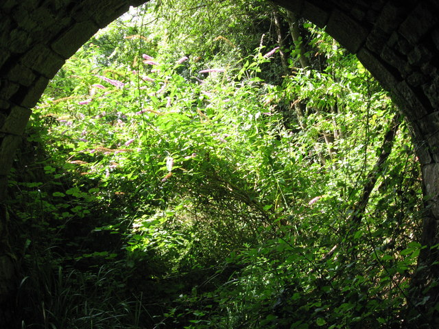
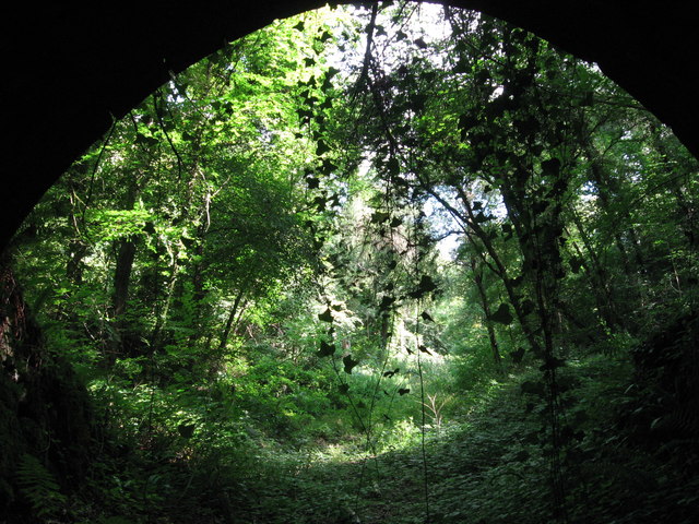
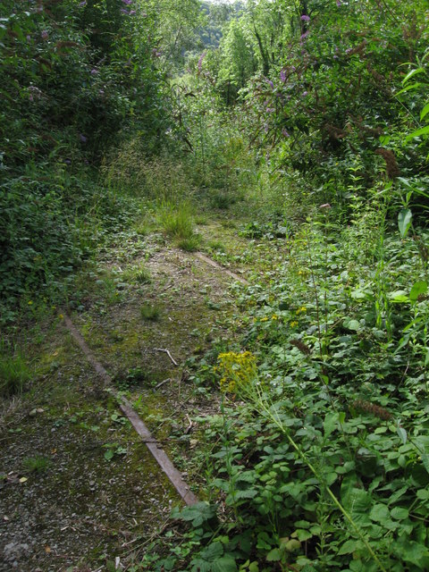
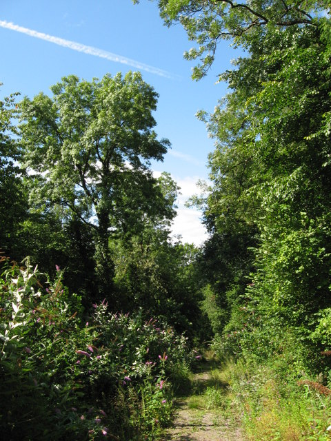
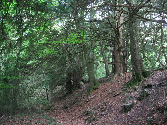
Cockshoot is surrounded by beautiful countryside, making it an ideal location for outdoor enthusiasts. The nearby slopes and hills provide ample opportunities for hiking, cycling, and exploring the natural surroundings. The cliff itself is a popular spot for photography enthusiasts who come to capture the stunning vistas.

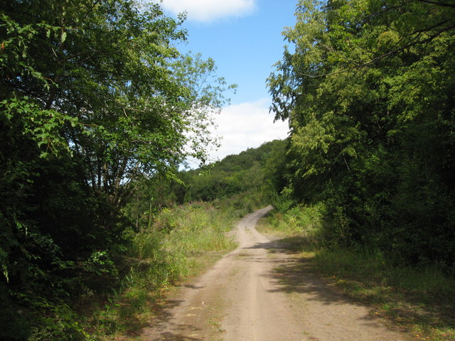
Despite its rural location, Cockshoot is not far from amenities. The neighboring towns offer a range of services, including shops, schools, and healthcare facilities. The village is well-connected to the rest of the county via a network of roads, making it easily accessible for both residents and visitors.

In summary, Cockshoot, Gloucestershire, is a charming village perched on a cliff, offering stunning views of the surrounding countryside. With its close-knit community and proximity to nature, it is an idyllic place to call home or visit for a peaceful retreat.

If you have any feedback on the listing, please let us know in the comments section below.

Cockshoot Images

Images are sourced within 2km of 51.672475/-2.6543792 or Grid Reference ST5497. Thanks to Geograph Open Source API. All images are credited.

Part of the Wye Valley Walk in Wyndcliff wood If there is one criticism of the WVW in this section it is that you don't get to see much of the River Wye, but, you do get to see varied woodlands, and an  appreciation of the valley's history, geology, ecology and industrial heritage.
Part of the Wye Valley Walk in Wyndcliff wood
If there is one criticism of the WVW in this section it is that you don't get to see much of the River Wye, but, you do get to see varied woodlands, and an appreciation of the valley's history, geology, ecology and industrial heritage.
The Eagle's Nest viewpoint on the Wynd Cliff The information board fitted by the Forestry Commission tells of how this viewpoint got its name and what can be viewed. A beautiful spot that I never tire of revisiting.
The Eagle's Nest viewpoint on the Wynd Cliff
The information board fitted by the Forestry Commission tells of how this viewpoint got its name and what can be viewed. A beautiful spot that I never tire of revisiting.
The Lancaut peninsula from the Eagle's Nest The huge curve in the Wye is a well-known view with Chepstow and the Severn Bridges beyond.
The Lancaut peninsula from the Eagle's Nest
The huge curve in the Wye is a well-known view with Chepstow and the Severn Bridges beyond.
The Eagle's Nest An excellent spot for a rest, a brew and some lunch.
The Eagle's Nest
An excellent spot for a rest, a brew and some lunch.
Cliff by the River Wye
Path along course of Wye Valley Railway near Tintern The railway line carried on straight ahead at this point, through the trees. Walkers now have a choice and can drop down right, or go up to the left.
Path along course of Wye Valley Railway near Tintern
The railway line carried on straight ahead at this point, through the trees. Walkers now have a choice and can drop down right, or go up to the left.
Path junction in woods near River Wye
Tunnel beneath disused railway line near Tintern Quarry
(No) light at the end of the tunnel The path at the western end of the tunnel (<a href="https://www.geograph.org.uk/photo/2544718">ST5498 : Tunnel beneath disused railway line near Tintern Quarry</a>) is very overgrown and currently impassable.
(No) light at the end of the tunnel
The path at the western end of the tunnel (ST5498 : Tunnel beneath disused railway line near Tintern Quarry) is very overgrown and currently impassable.
Path from tunnel under railway near Tintern Quarry The view from the eastern portal of <a href="https://www.geograph.org.uk/photo/2544718">ST5498 : Tunnel beneath disused railway line near Tintern Quarry</a> shows an overgrown, but still passable path.
Path from tunnel under railway near Tintern Quarry
The view from the eastern portal of ST5498 : Tunnel beneath disused railway line near Tintern Quarry shows an overgrown, but still passable path.
Path near Tintern Quarry
Disused railway near Tintern Quarry The rails are still in place, though obviously have not seen a train for many years!
Disused railway near Tintern Quarry
The rails are still in place, though obviously have not seen a train for many years!
Part of Tintern Quarry
Footpath near Tintern Quarry
Gateway to Tintern Quarry
Beside Offa's Dyke
Beside Offa's Dyke
On Offa's Dyke
On Offa's Dyke
On Offa's Dyke
On Offa's Dyke
Show me another place!

Cockshoot is located at Grid Ref: ST5497 (Lat: 51.672475, Lng: -2.6543792)

Administrative County: Gloucestershire

District: Forest of Dean

Police Authority: Gloucestershire

What 3 Words

///uppermost.situation.skims. Near Tintern, Monmouthshire

Related Wikis

Caerwood and Ashberry Goose House

Caerwood And Ashberry Goose House (ST54719655 ST54649657) is a 0.01-hectare (0.025-acre) biological Site of Special Scientific Interest in Gloucestershire...

Boughspring

Boughspring is a hamlet in Gloucestershire, England. == History == Settlement at Boughspring dates back to Roman times when a villa was built nearby. Boughspring...
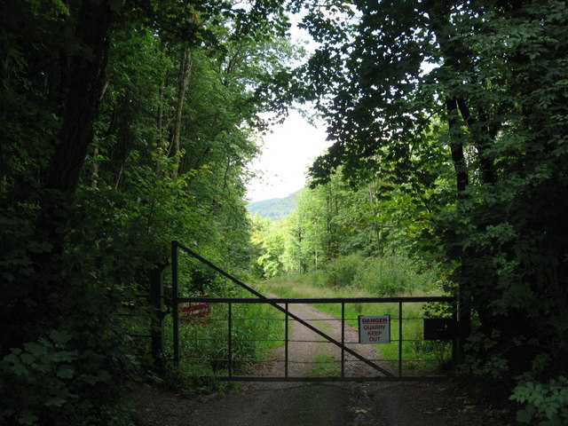
Tintern Quarry

Tintern Quarry was a quarry in the Forest of Dean, Gloucestershire, England. It was served by the Wye Valley Railway from 1876 until it closed in 1981...

Netherhope Halt railway station

Netherhope Halt was a railway station on the former Wye Valley Railway. It was opened in 1932 and closed in 1959; it was demolished soon afterwards....

Related Videos

Lancaut and Wintour's Leap

Never lost just temporarily displaced.

Devils pulpit’s | An Adventurers Place To Visit In Scotland. #travel #ukvloger

Did you know that not too far from Glasgow and Edinburgh in Scotland is a beautiful moss covered, 100ft deep gorge, through ...

Offa's Dyke Day 1 Chepstow to Monmouth

May 31, 2021 with Peter O'Connor walking Chepstow to Monmouth Music: Illuminate You Musician: Weary Eyes URL: ...

Nearby Amenities

Located within 500m of 51.672475,-2.6543792
Source: PGS
Lat/Long: 51.6761639/-2.6572368
Source: PGS
Lat/Long: 51.6738584/-2.657469
Source: PGS
Lat/Long: 51.6746889/-2.6575085
Source: PGS
Lat/Long: 51.6754028/-2.6580433
Source: PGS
Lat/Long: 51.6756059/-2.6566566
Source: PGS
Lat/Long: 51.674996/-2.6562993
Source: PGS
Lat/Long: 51.674208/-2.6561076
Source: PGS
Lat/Long: 51.673755/-2.656203
Source: PGS
Lat/Long: 51.672988/-2.656621
Source: PGS
Lat/Long: 51.6717285/-2.6596819
Source: PGS
Lat/Long: 51.6721674/-2.6588954
Source: PGS
Lat/Long: 51.6728902/-2.6580567
Source: PGS
Lat/Long: 51.6723928/-2.6570031
Source: PGS
Lat/Long: 51.6720124/-2.657303
Source: PGS
Lat/Long: 51.671709/-2.65766
Source: PGS
Lat/Long: 51.671582/-2.658074
Source: PGS
Lat/Long: 51.6713497/-2.6607341
Source: PGS
Lat/Long: 51.6711198/-2.6589825
Source: PGS
Lat/Long: 51.6707172/-2.659956
Barrier: kissing_gate
Lat/Long: 51.6689424/-2.6564145
Barrier: kissing_gate
Lat/Long: 51.6713584/-2.6544556
Bus Stop
Dennel Hill
Naptan AtcoCode: 1600GLF755
Naptan Bearing: SW
Naptan CommonName: Dennel Hill
Naptan NaptanCode: gloadgmw
Naptan Street: B4228
Naptan Verified: no
Source: naptan_import
Lat/Long: 51.6727458/-2.6521932
Bus Stop
Dennel Hill
Naptan AtcoCode: 1600GLF756
Naptan Bearing: NE
Naptan CommonName: Dennel Hill
Naptan NaptanCode: gloadgmt
Naptan Street: B4228
Naptan Verified: no
Source: naptan_import
Lat/Long: 51.6728446/-2.6522236
Man Made: ventilation_shaft
Lat/Long: 51.6693254/-2.6535652
Barrier: kissing_gate
Lat/Long: 51.6717089/-2.6542113
Barrier: kissing_gate
Lat/Long: 51.6719487/-2.6541482
Place: farm
Lat/Long: 51.6709965/-2.6483225
Post Box
Collection Times: Mo-Fr 09:00; Sa 07:00
Operator: Royal Mail
Post Box Type: wall
Ref: NP16 473D
Royal Cypher: GR
Royal Cypher Wikidata: Q33102273
Lat/Long: 51.6727481/-2.6522152
Barrier: kissing_gate
Lat/Long: 51.6718232/-2.6476655
Barrier: stile
Lat/Long: 51.6725406/-2.6478185
Power: pole
Lat/Long: 51.6757313/-2.6503994
Power: pole
Lat/Long: 51.67637/-2.6519068
Power: pole
Lat/Long: 51.6768182/-2.653091
Power: pole
Lat/Long: 51.676765/-2.6536985
Power: pole
Lat/Long: 51.6764839/-2.6558496
The data included in this document is from www.openstreetmap.org. The data is made available under ODbL.

Have you been to Cockshoot?

Leave your review of Cockshoot below (or comments, questions and feedback).