Cowraik Plantation
Wood, Forest in Cumberland Eden
England
Cowraik Plantation
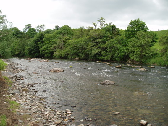
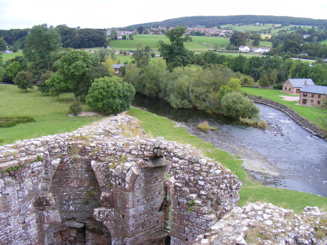
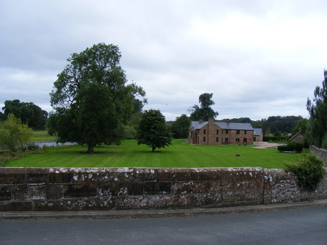
Cowraik Plantation is a sprawling woodland located in the heart of Cumberland, England. With its vast expanse of lush greenery and dense forest cover, the plantation is a haven for nature lovers and outdoor enthusiasts alike. The woodland is predominantly made up of various species of trees, including oak, beech, ash, and pine, contributing to the diverse and vibrant ecosystem.
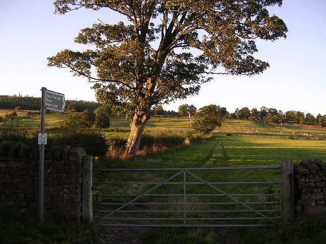
Covering an area of approximately [insert area], Cowraik Plantation offers ample space for recreational activities such as hiking, cycling, and birdwatching. The well-maintained pathways and trails winding through the forest provide visitors with an opportunity to explore the plantation's natural beauty at their own pace.
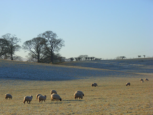
The woodland is home to a wide range of wildlife, including deer, foxes, rabbits, and an array of bird species. Birdwatchers can spot native species such as woodpeckers, owls, and thrushes, adding to the plantation's appeal as a sanctuary for avian enthusiasts.
Cowraik Plantation also serves as an important resource for the local timber industry, with sustainable logging practices in place to ensure the long-term health and viability of the woodland. The plantation's management actively promotes responsible forestry practices, balancing the economic benefits of timber production with the preservation of the natural environment.
Overall, Cowraik Plantation is a picturesque woodland retreat, offering a peaceful and serene escape from the hustle and bustle of urban life. Whether visiting for leisure or to appreciate the beauty of nature, the plantation provides an enriching experience for all who venture into its verdant embrace.
If you have any feedback on the listing, please let us know in the comments section below.
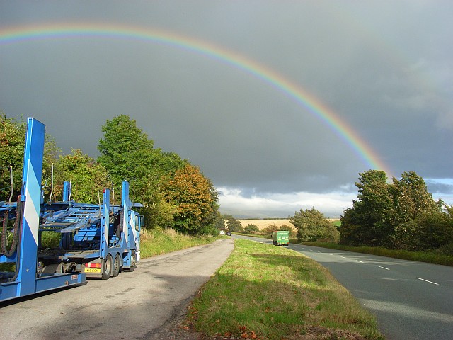
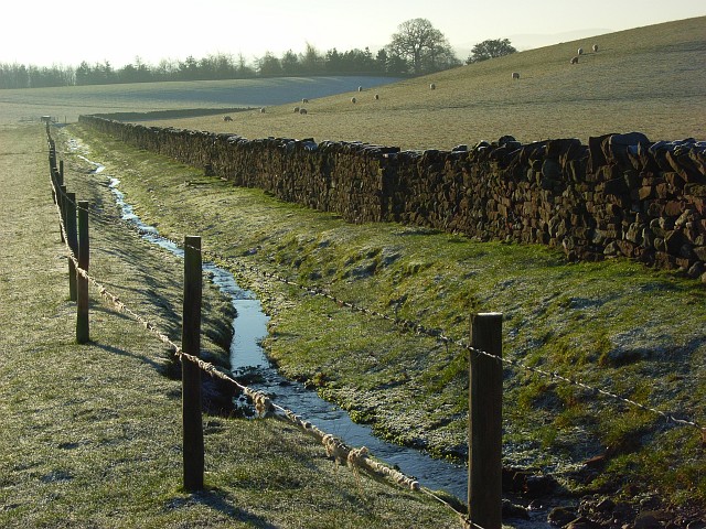
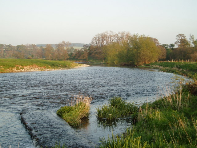
Cowraik Plantation Images
Images are sourced within 2km of 54.671987/-2.7143656 or Grid Reference NY5431. Thanks to Geograph Open Source API. All images are credited.


Cowraik Plantation is located at Grid Ref: NY5431 (Lat: 54.671987, Lng: -2.7143656)
Administrative County: Cumbria
District: Eden
Police Authority: Cumbria
What 3 Words
///herb.trade.suiting. Near Penrith, Cumbria
Related Wikis

Penrith A.F.C.
Penrith Association Football Club is a football club based in Penrith, Cumbria, England. They play in the Northern Football League Division One and their...

Carleton, Penrith
Carleton is a suburb of the town of Penrith, Cumbria, England, that has seen a huge growth in housing since the 1960s and is, of 2018, still expanding...

Brocavum
Brocavum is the Latin name of a Roman fort at Brougham near Penrith, Cumbria. The fort survives as earthworks, but no excavation of these has been carried...

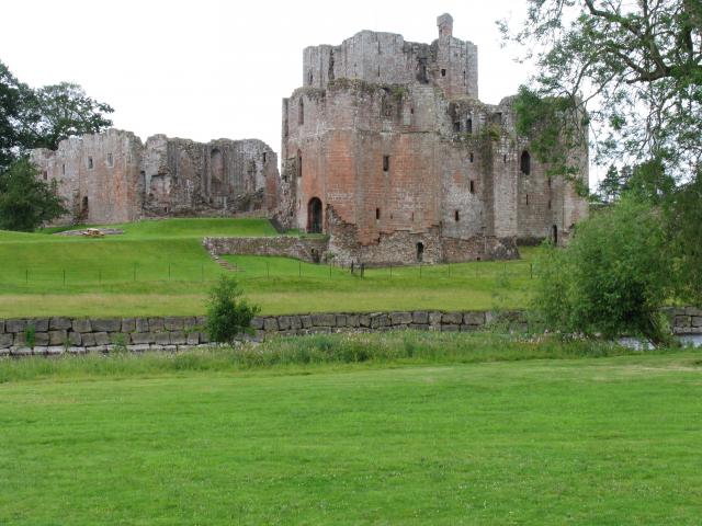
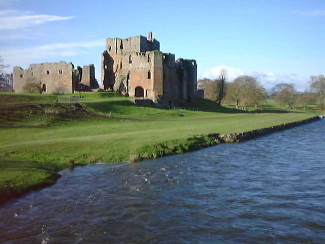
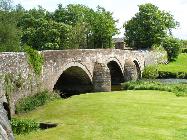
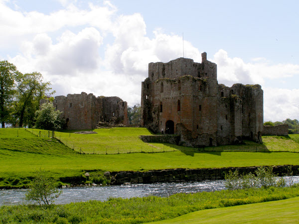
Brougham Castle
Brougham Castle (pronounced ) is a medieval building about 2 miles (3.2 km) south-east of Penrith, Cumbria, England. The castle was founded by Robert I...
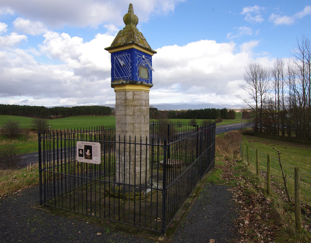
Countess Pillar
The Countess Pillar is a 17th-century monument near Brougham, Cumbria, England, between Penrith and Appleby. It is two miles east of Penrith on the A66...
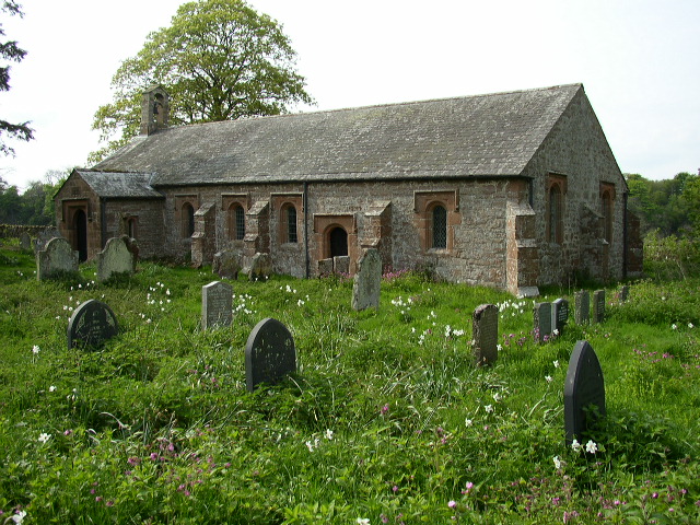
Ninekirks
Ninekirks is the local name for St Ninian's church, Brougham, Cumbria. Dedicated to Saint Ninian, it was formerly the Anglican parish church for Brougham...

St Andrew's Church, Penrith
St Andrew's Church is in the centre of the town of Penrith, Cumbria, England. It is an active Anglican parish church in the deanery of Penrith, the archdeaconry...
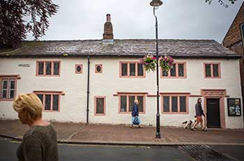
Penrith and Eden Museum
Penrith and Eden Museum is a museum in Penrith, Cumbria, England. The museum aims to collect, preserve and display material reflecting the history and...
Nearby Amenities
Located within 500m of 54.671987,-2.7143656Have you been to Cowraik Plantation?
Leave your review of Cowraik Plantation below (or comments, questions and feedback).