Under Wood
Wood, Forest in Somerset Mendip
England
Under Wood
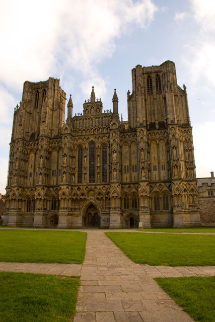
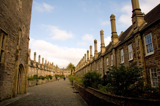
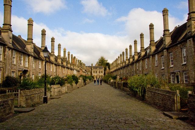
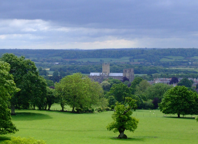
Under Wood, Somerset, also known as Wood or Forest, is a picturesque village located in the county of Somerset, England. Situated in the heart of the beautiful Mendip Hills, the village is surrounded by lush greenery and encompasses an area of approximately 2 square miles.
Under Wood is known for its idyllic countryside setting, with rolling hills, meandering streams, and dense woodlands. The village is characterized by its charming thatched-roof cottages, many of which date back several centuries, giving visitors a glimpse into the area's rich history.
The village is home to a close-knit community, with a population of around 500 residents. The local economy is primarily based on agriculture and tourism, with several farms in the area producing fresh produce and dairy products. The village also attracts visitors with its scenic walking trails, providing opportunities for hiking and exploring the surrounding natural beauty.
Under Wood offers a range of amenities to its residents and visitors. The village has a primary school, a village hall, and a small convenience store that caters to the daily needs of the locals. There are also a number of traditional pubs and restaurants, serving locally sourced food and beverages.
The village is well-connected to the nearby towns and cities, with regular bus services and good road links. The closest major town, Glastonbury, is approximately 6 miles away, providing additional amenities and services.
In summary, Under Wood, Somerset, is a charming village nestled in the beautiful Mendip Hills. With its stunning natural surroundings, historic cottages, and close-knit community, the village offers a peaceful and picturesque retreat for both residents and visitors alike.
If you have any feedback on the listing, please let us know in the comments section below.
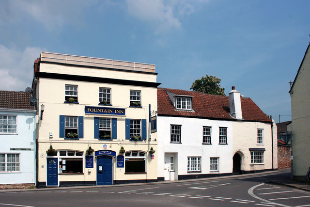
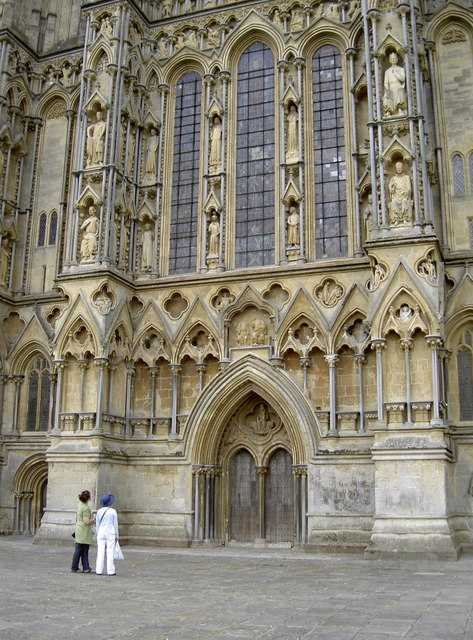
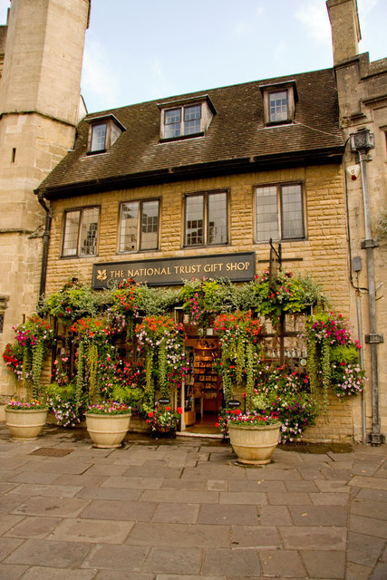
Under Wood Images
Images are sourced within 2km of 51.217286/-2.6596148 or Grid Reference ST5446. Thanks to Geograph Open Source API. All images are credited.


Under Wood is located at Grid Ref: ST5446 (Lat: 51.217286, Lng: -2.6596148)
Administrative County: Somerset
District: Mendip
Police Authority: Avon and Somerset
What 3 Words
///cooking.many.reefs. Near Wells, Somerset
Nearby Locations
Related Wikis
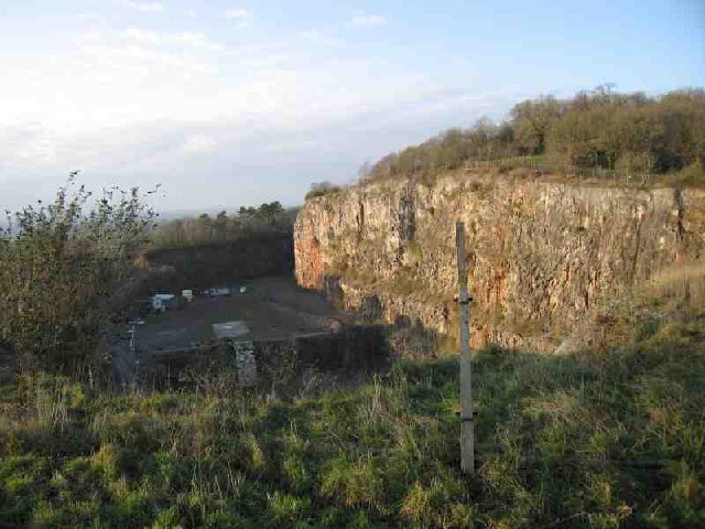
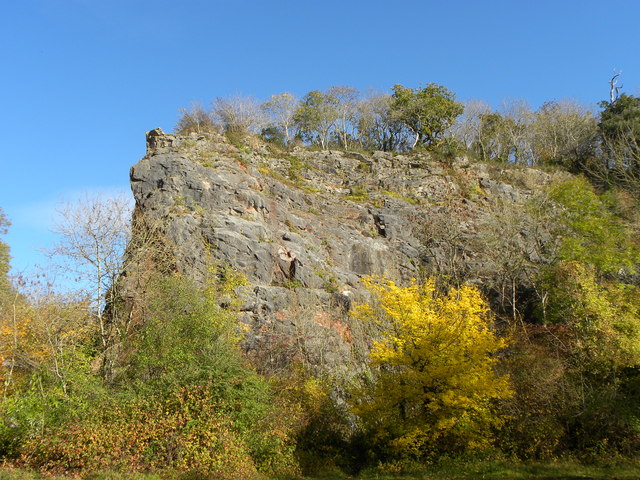
Underwood Quarry
Underwood Quarry is a former quarry near Wells, Somerset on the southern edge of the Mendip Hills that produced Carboniferous Limestone. The rock was described...
Milton Lodge
Milton Lodge is a house and garden overlooking the city of Wells in the English county of Somerset. The terraced garden, which was laid out in the early...

The Blue School, Wells
The Blue School is a coeducational, secondary school located in Wells, Somerset, England. It had 1,570 students aged 11 to 18 of both sexes and all ability...
St Cuthberts Mill
St Cuthberts Mill is a British paper manufacturing company in Wells, Somerset, that specialises in mould made artists papers. The range includes traditional...

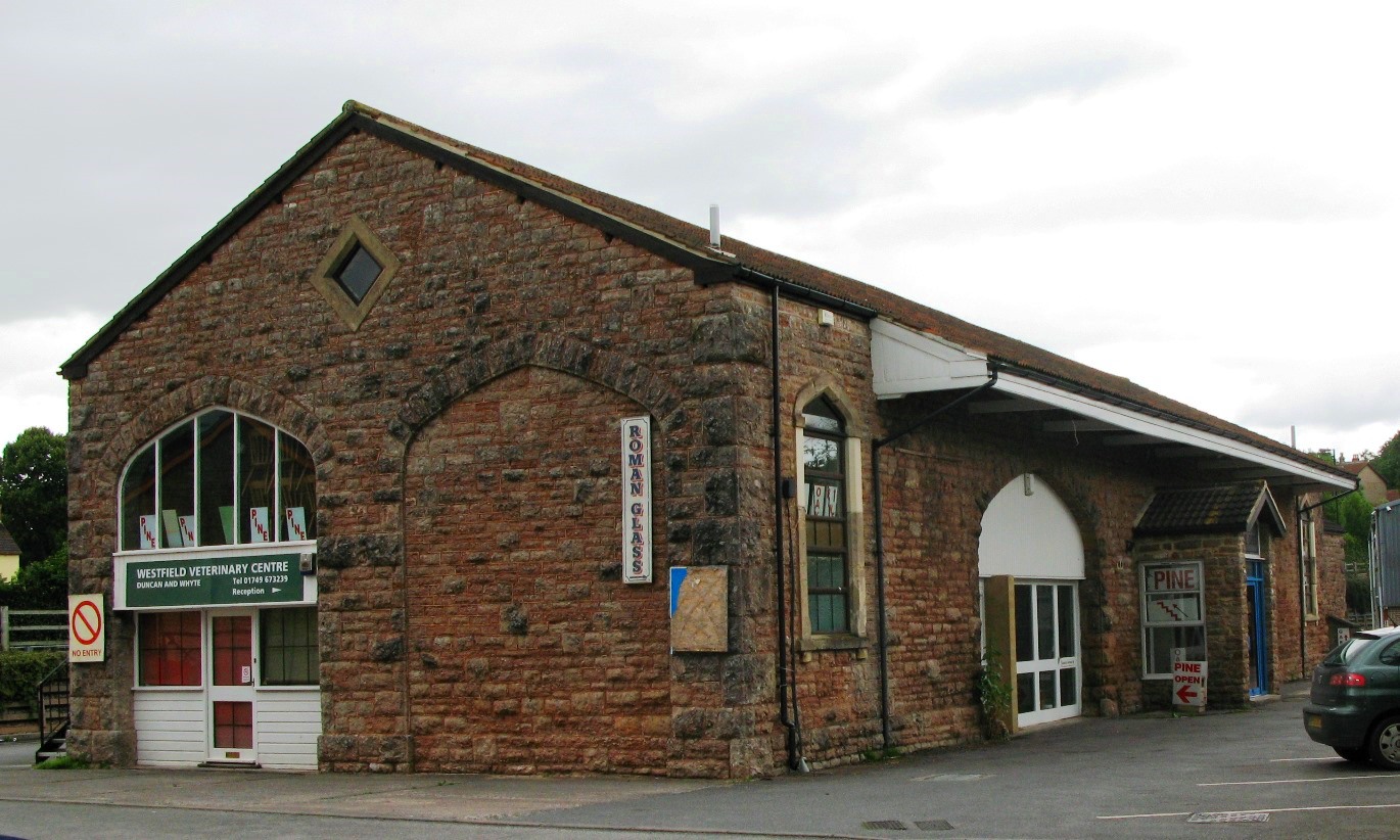
Wookey railway station
Wookey railway station was a station on the Bristol and Exeter Railway's Cheddar Valley line in Somerset, England. The site is a 0.04 hectare geological...
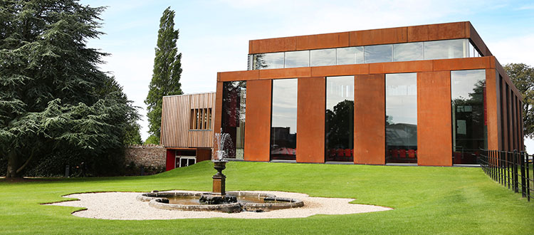
Cedars Hall
Cedars Hall is Wells Cathedral School's performing arts venue located in Wells, Somerset, England. Opened in autumn 2016, it provides the capacity for...
Wells Cathedral School
Wells Cathedral School is a co-educational independent day and boarding school located in Wells, Somerset, England. The school is one of the five specialist...
Wells (Tucker Street) railway station
Wells (Tucker Street) railway station was the second terminus station on the Bristol and Exeter Railway's Cheddar Valley line in Somerset after the extension...
Nearby Amenities
Located within 500m of 51.217286,-2.6596148Have you been to Under Wood?
Leave your review of Under Wood below (or comments, questions and feedback).